2020-05-08
Flood in Indonesia on 08 May, 2020
Emergency Obs. Request Information
Disaster Type:
Flood
Country/Region:
Indonesia
Occurrence Date (UTC):
08 May, 2020
SA activation Date(UTC):
08 May, 2020
Requester:
ASEAN Coordinating Centre for Humanitarian Assistance on disaster management (AHA Centre) on behalf of Indonesian National Board for Disaster Management (BNPB)
Escalation to the International Charter:
No
GLIDE Number:
Product
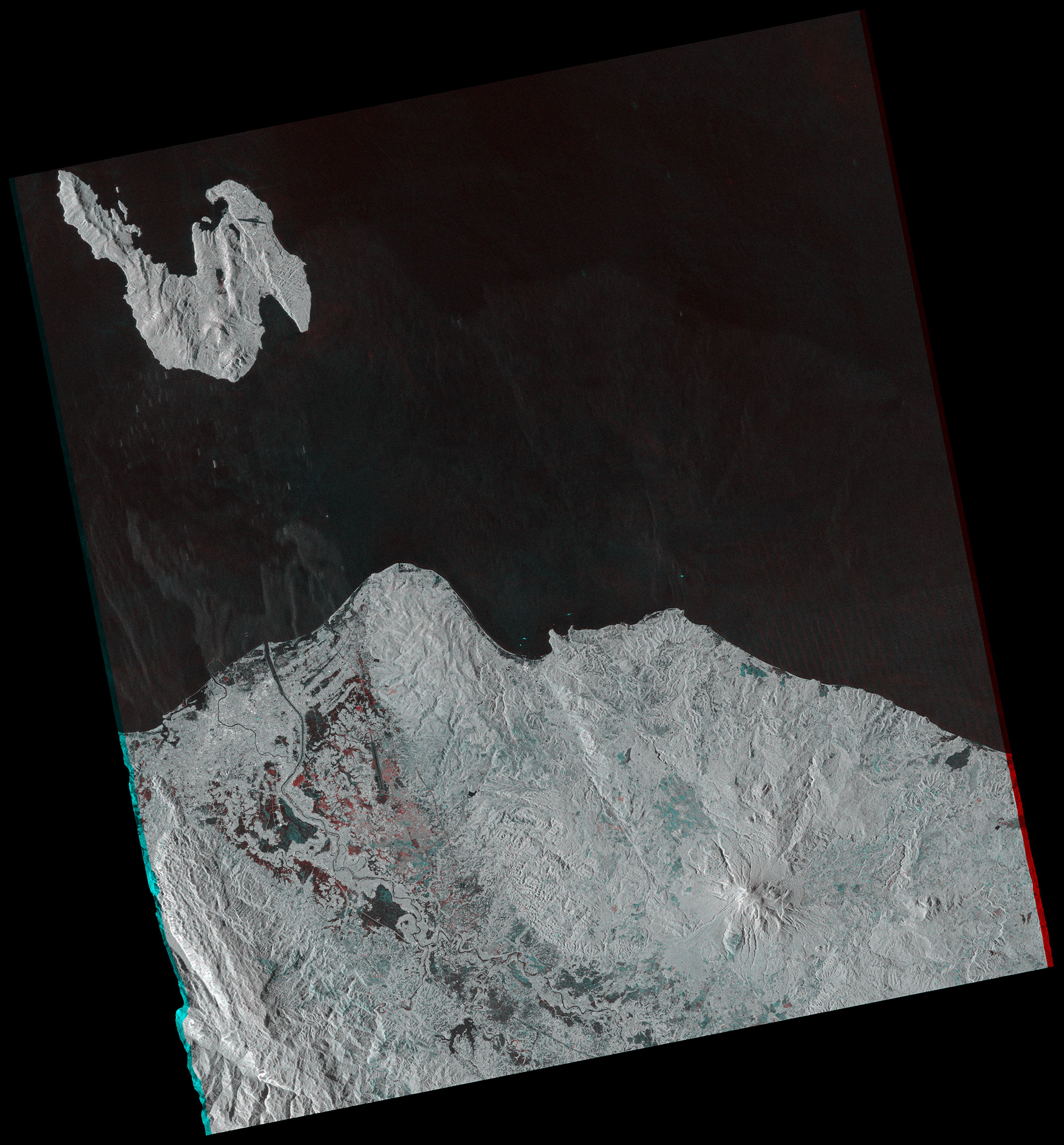
JAXA
ALOS-2 / PALSAR-2,
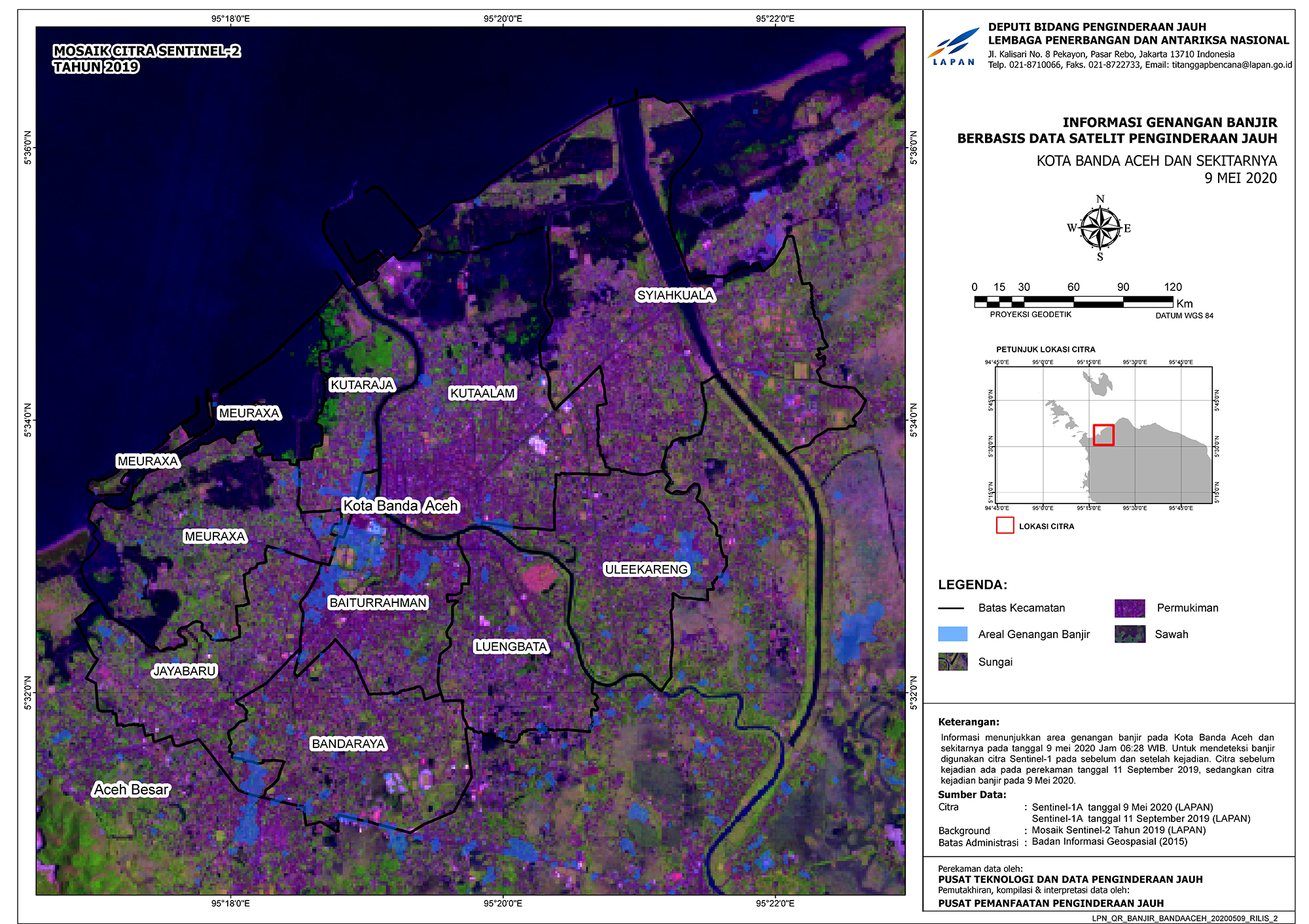
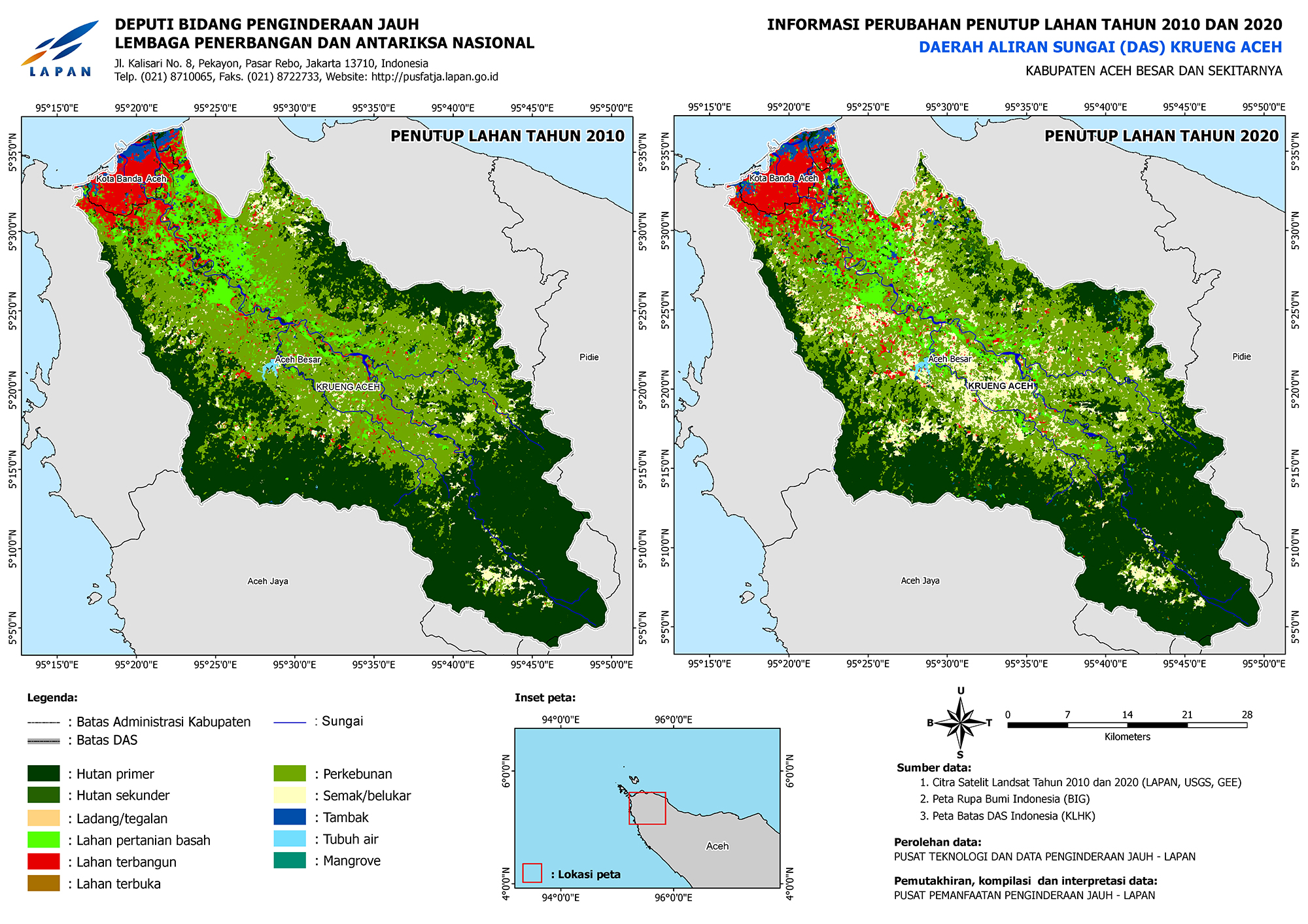
LAPAN
2020-05-09
MOSAIK CITRA SPOT 6/7
2020-05-09
MOSAIK CITRA SENTINEL-2
2020-05-09
INFORMASI PERUBAHAN PENUTUP LAHAN TAHUN 2010 DAN 2020
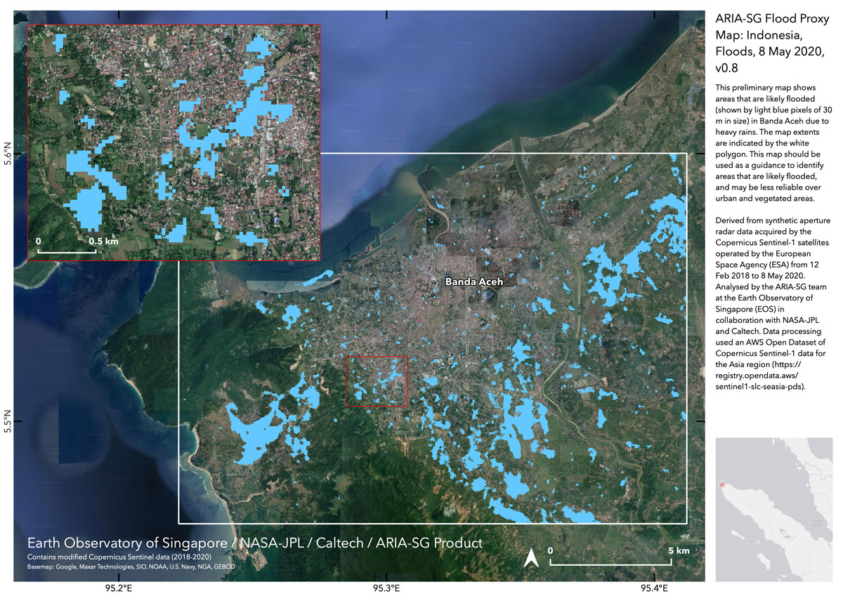
EOS
2020-05-08
ARIA-SG Flood Proxy Map:
This file includes the shape file of detected water areas.
AIT
2020-05-09
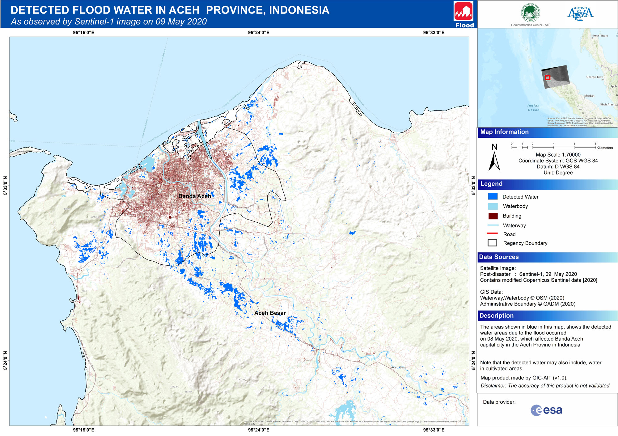
GIC-AIT (v1.0),
2020-05-09
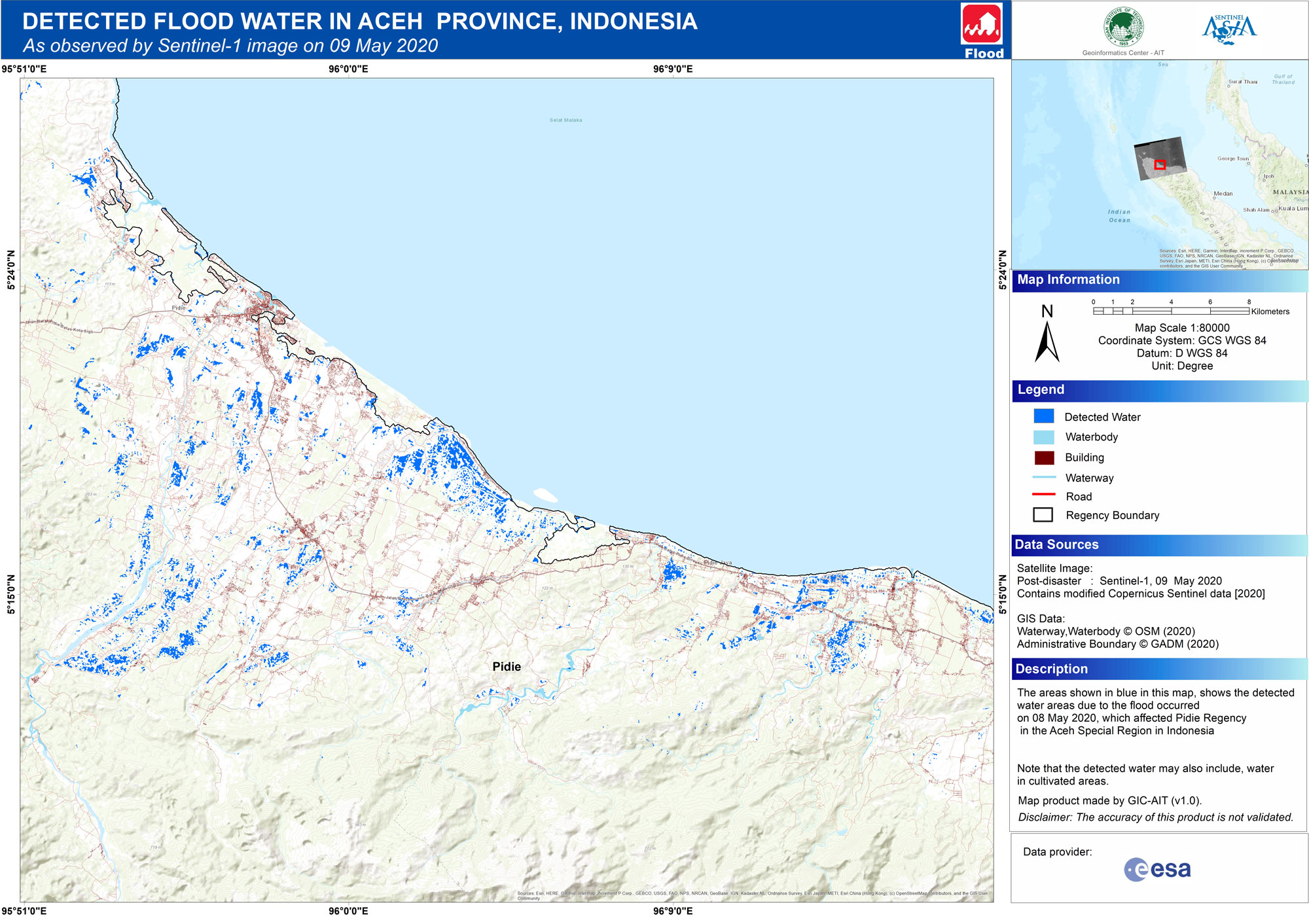
GIC-AIT (v1.0),
2020-05-12
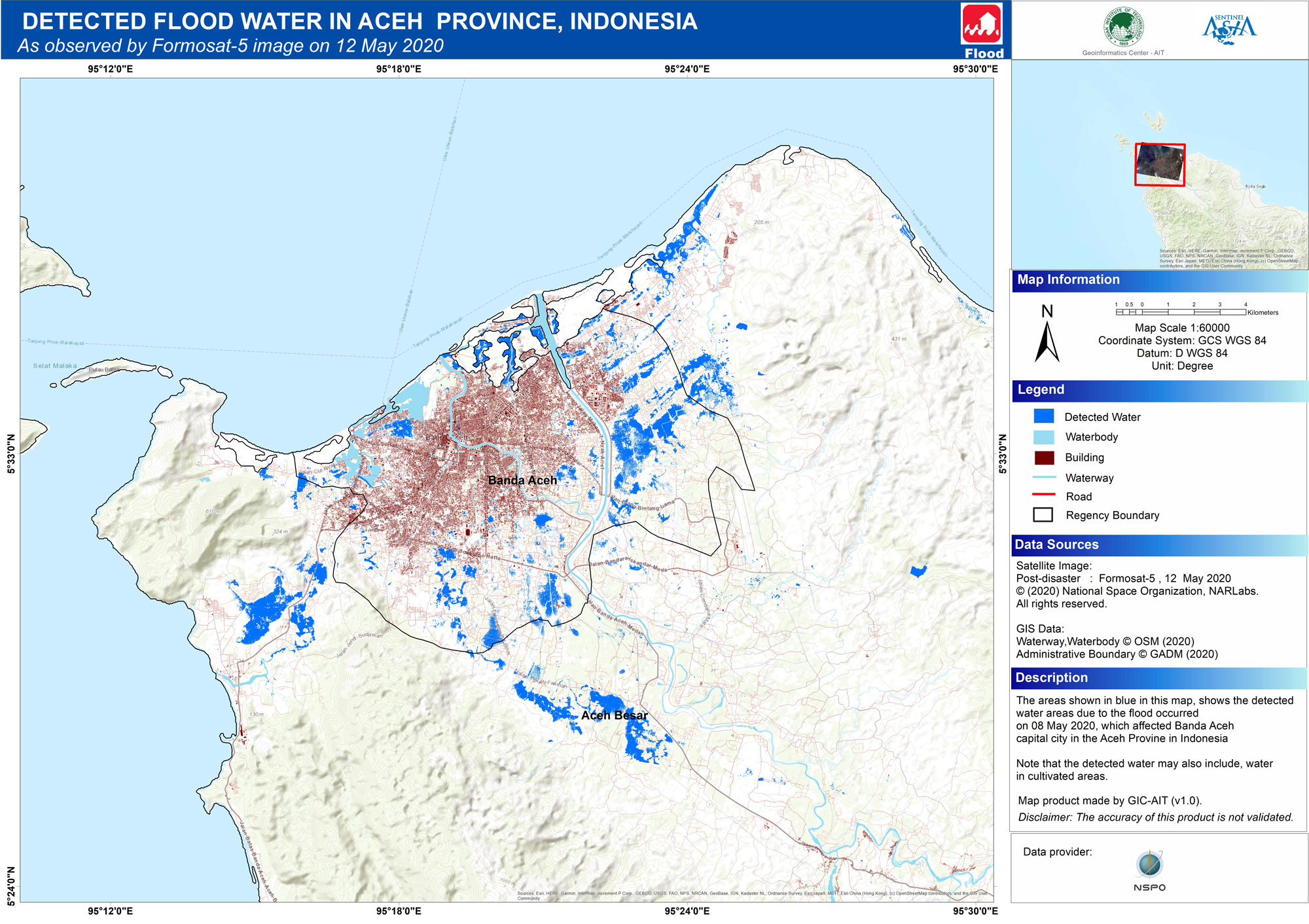
GIC-AIT (v1.0),
2020-05-13
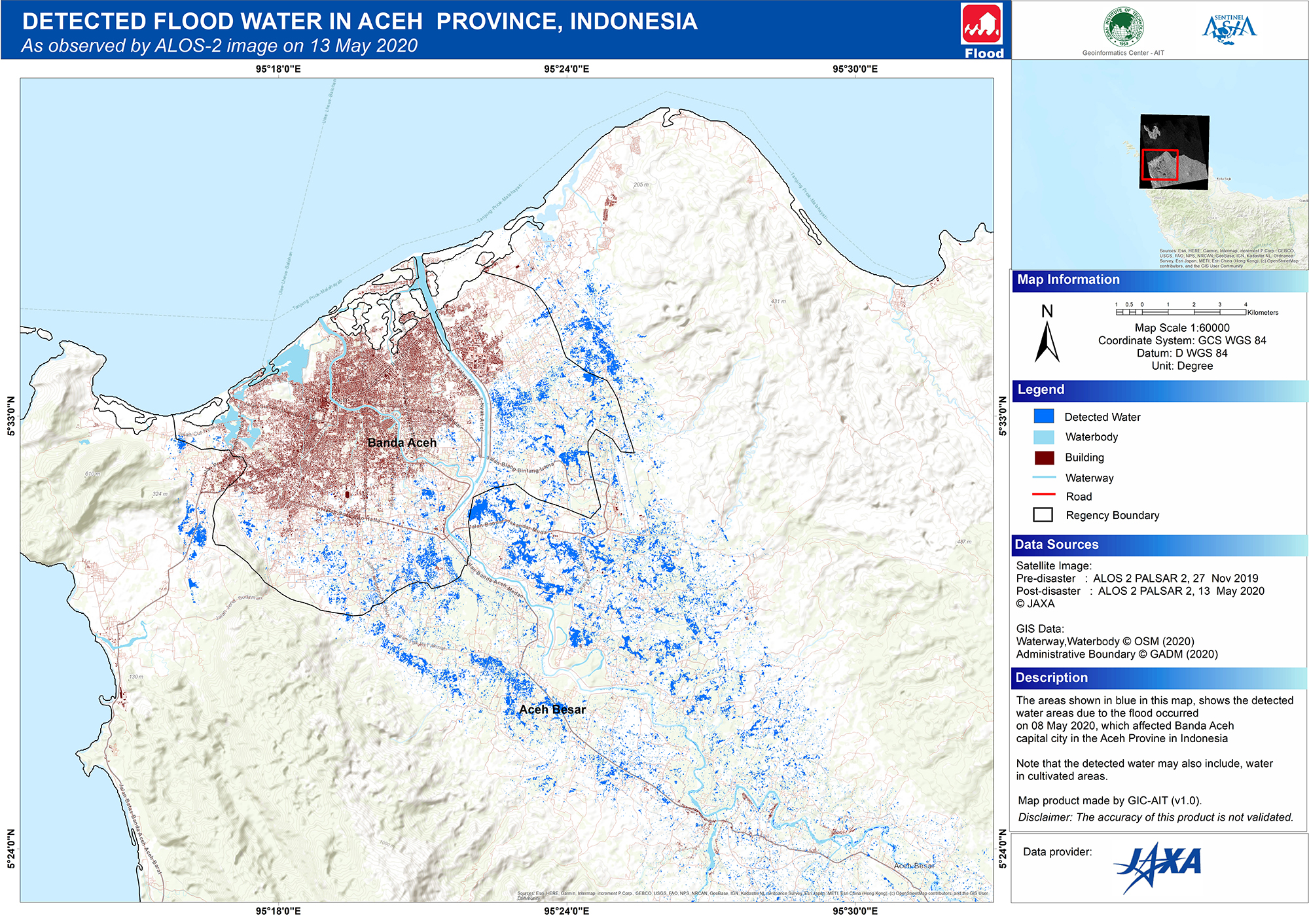
GIC-AIT (v1.0),
Detected Flood Water
Detected Flood Water Formosat5
etected Flood Water ALOS2
Satellite Image
Before Disaster
JAXA
2019-11-27
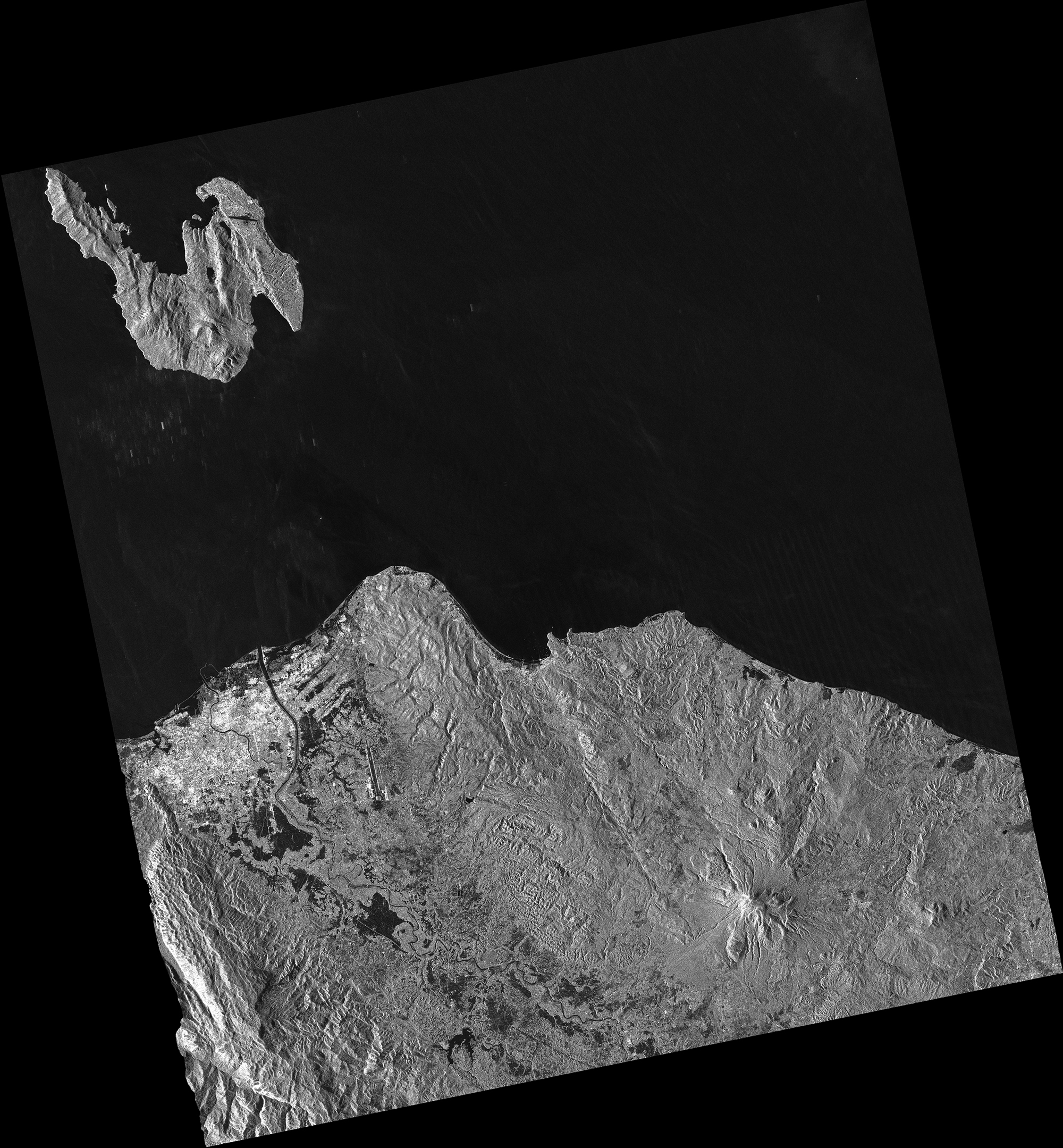
ALOS-2 PALSAR-2,
After Disaster
JAXA
2020-05-13
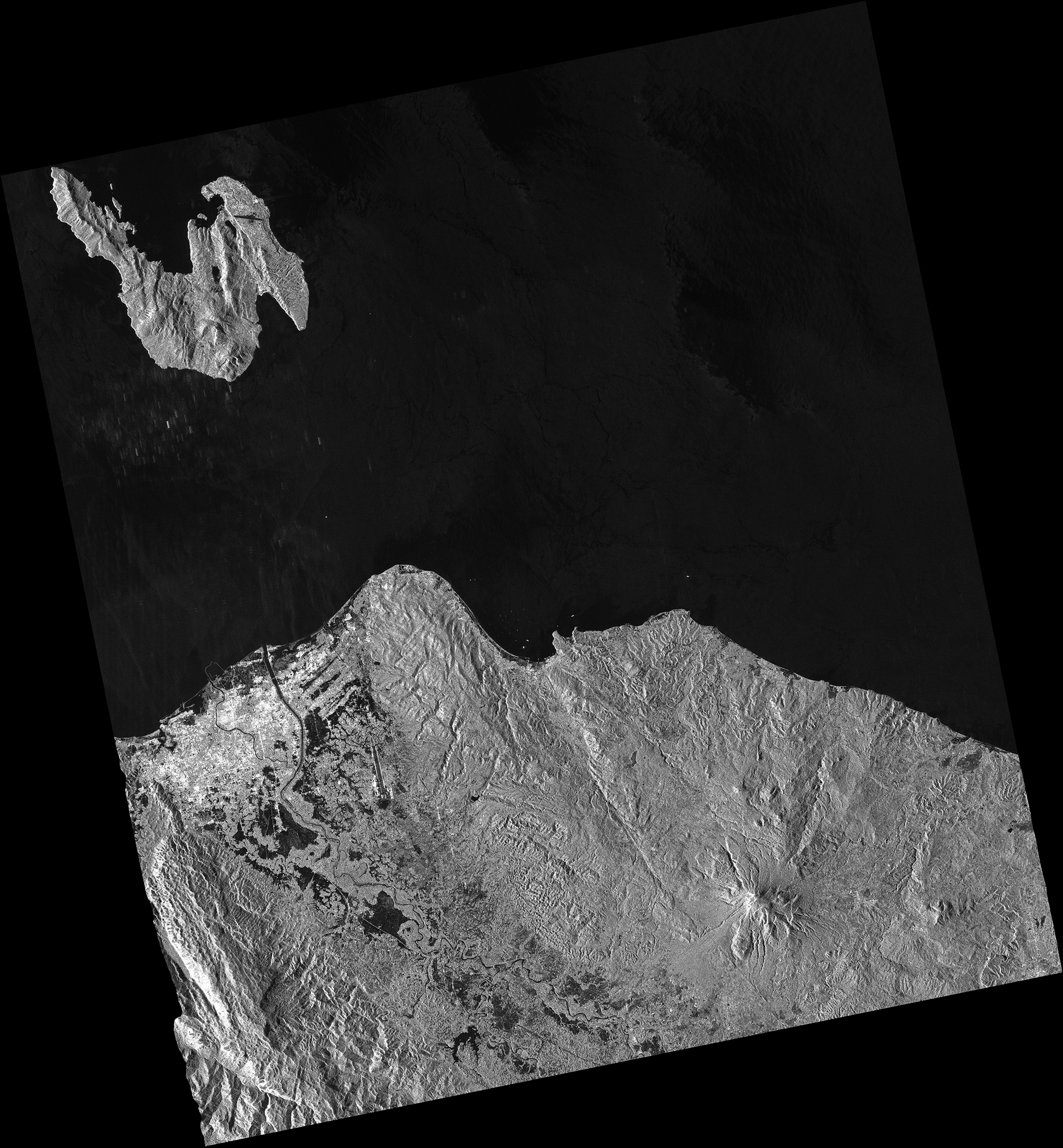
ALOS-2 PALSAR-2,
ISRO
2020-05-12
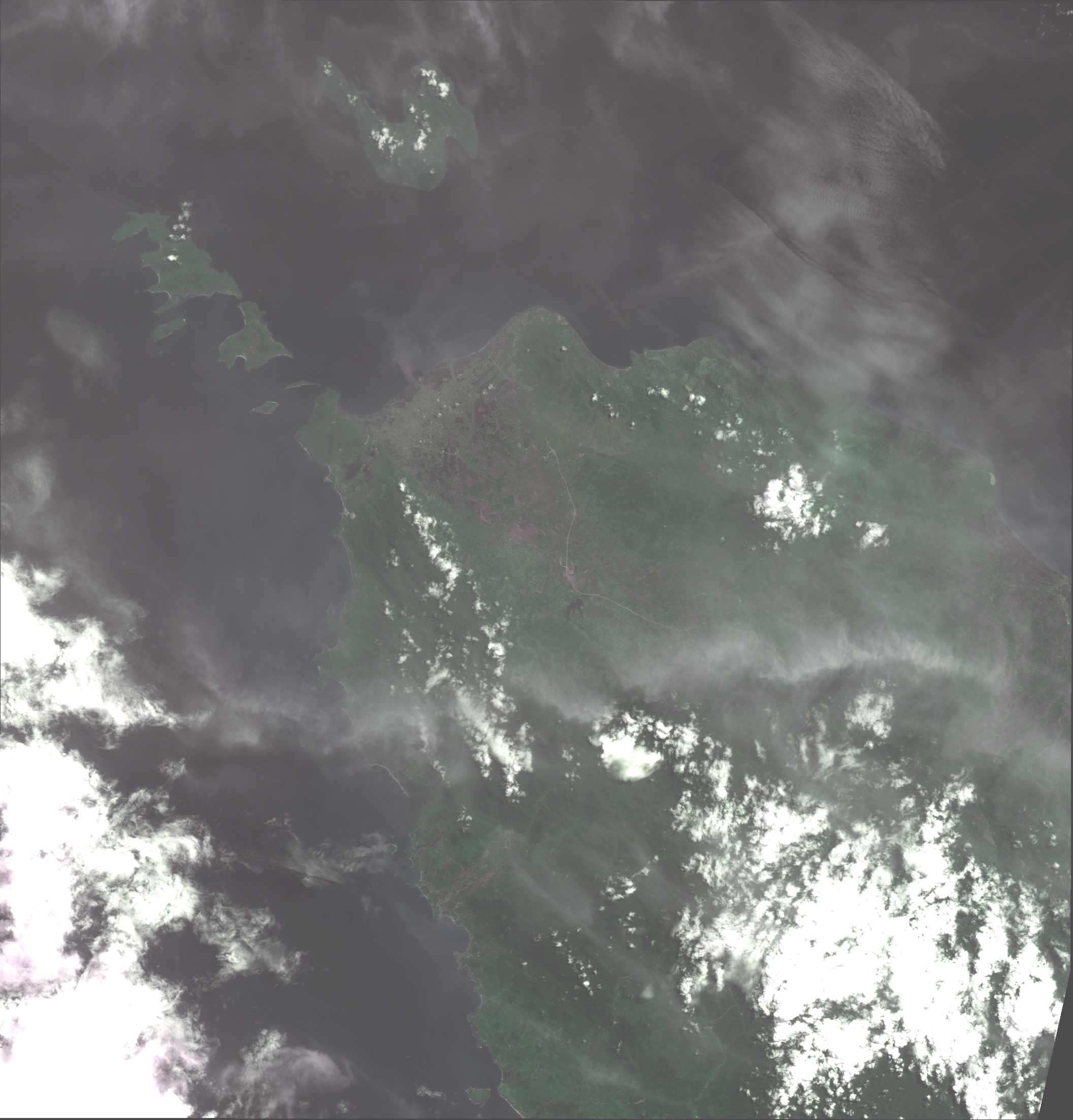
Resourcesat AWiFS,
2020-05-12
Resourcesat AWiFS,
NARL
2020-05-12
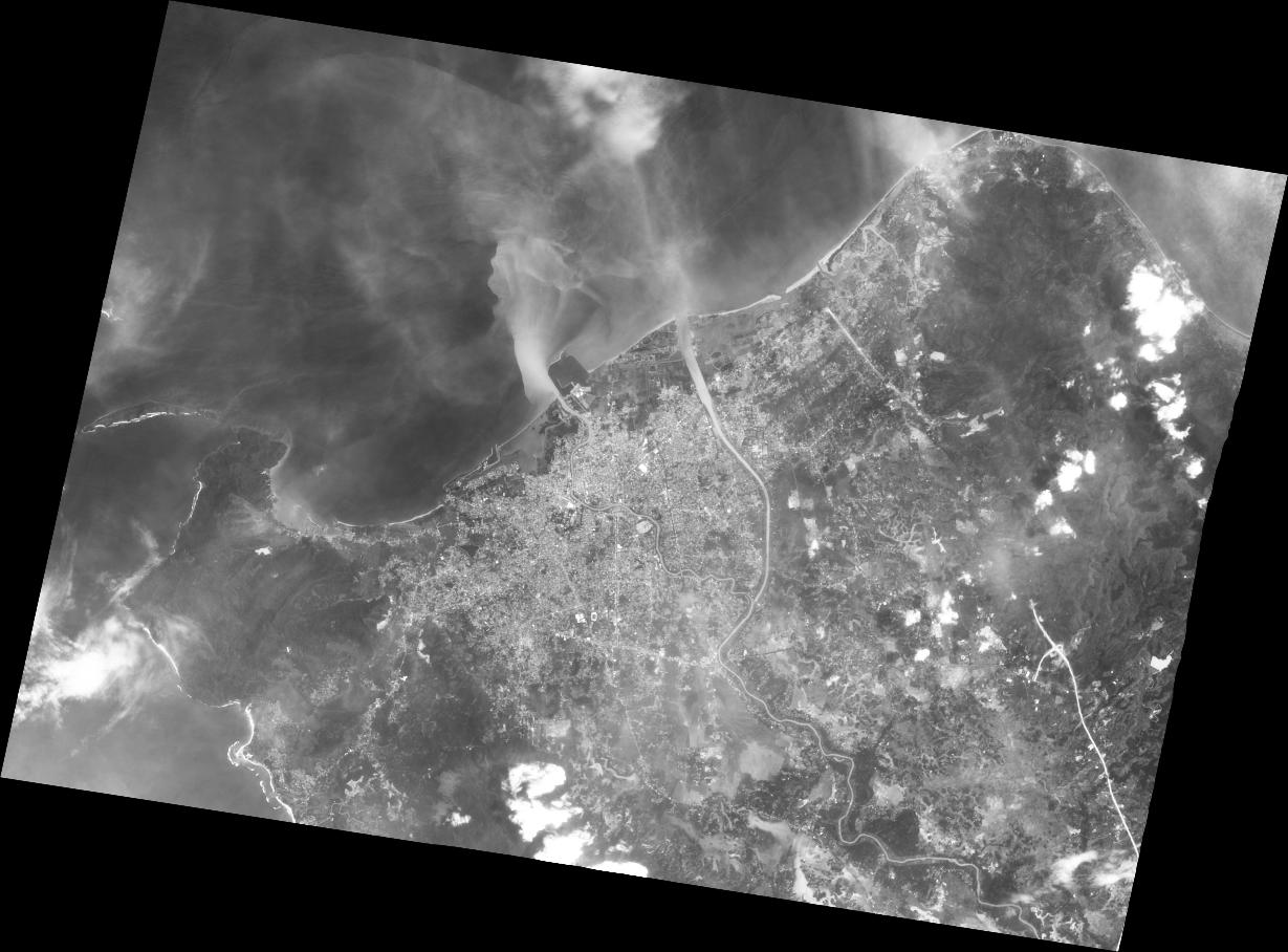
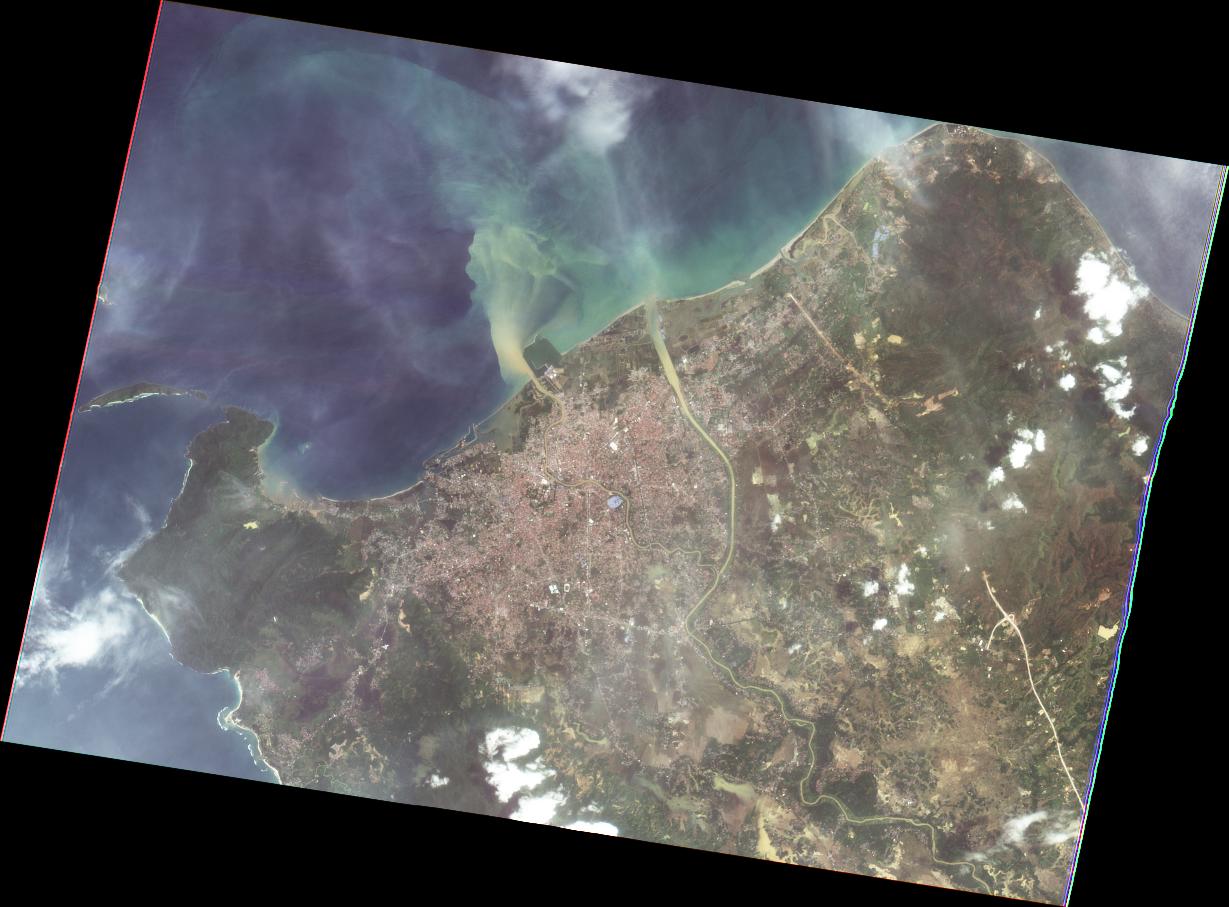
FORMOSAT-5 Product Level4 MS
2020-05-12
FORMOSAT-5 Product Level4 PAN
2020-05-12
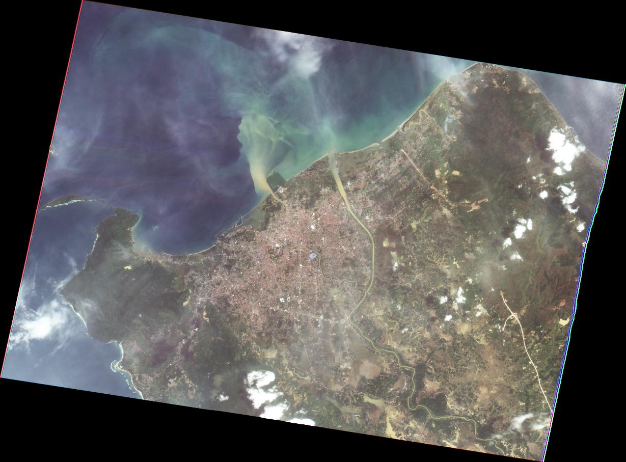
FORMOSAT-5 Product Level4 PMS