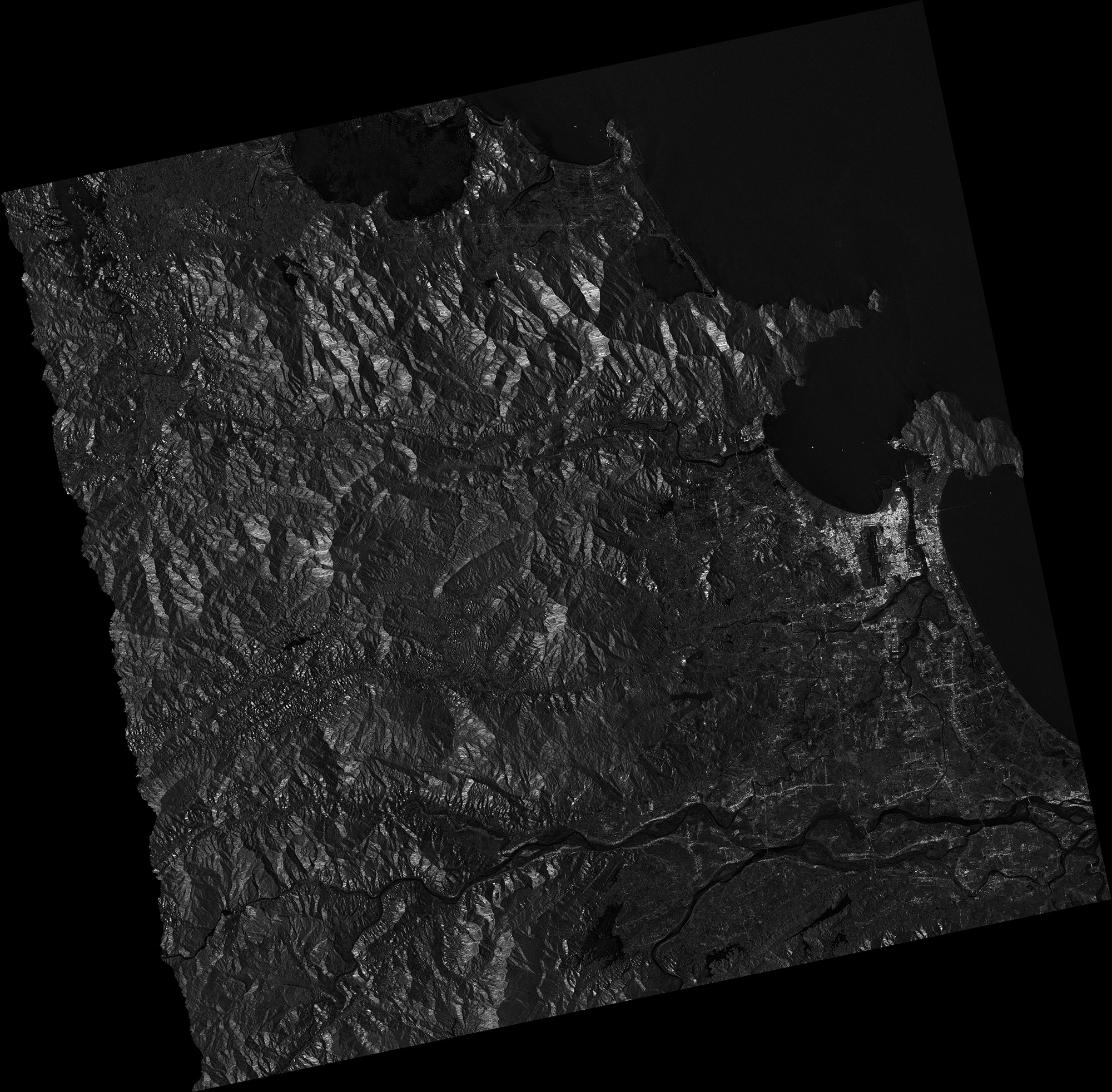
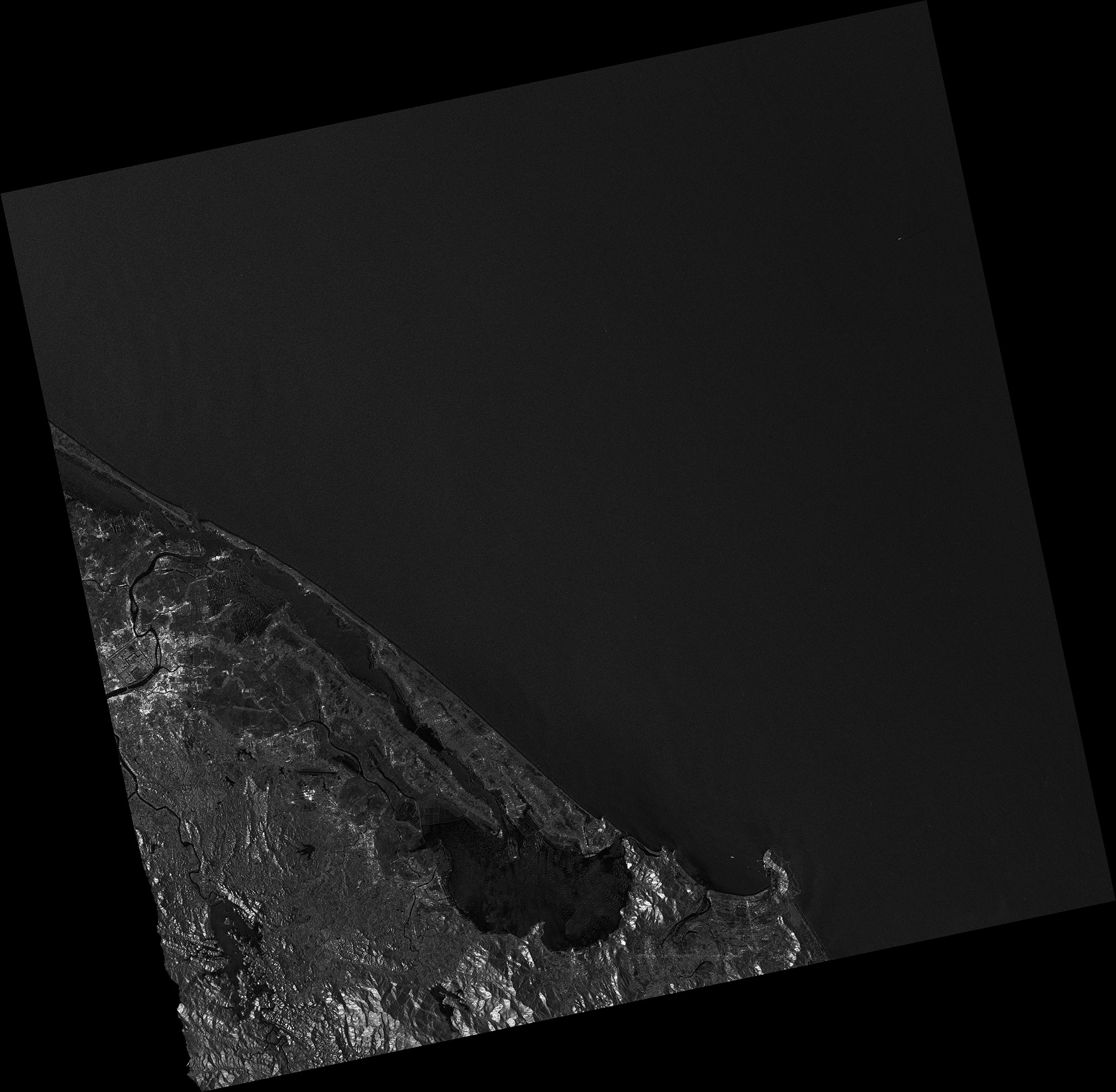
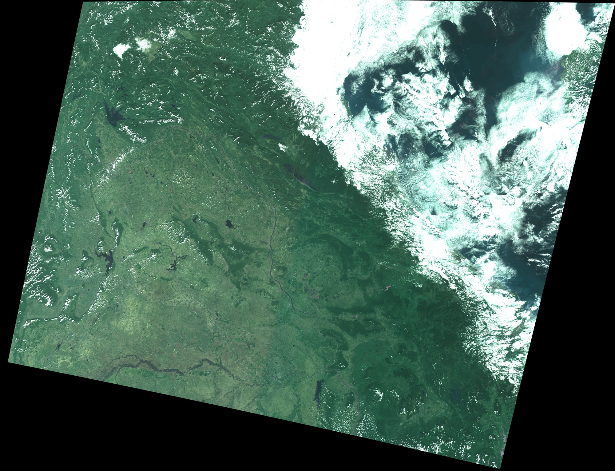
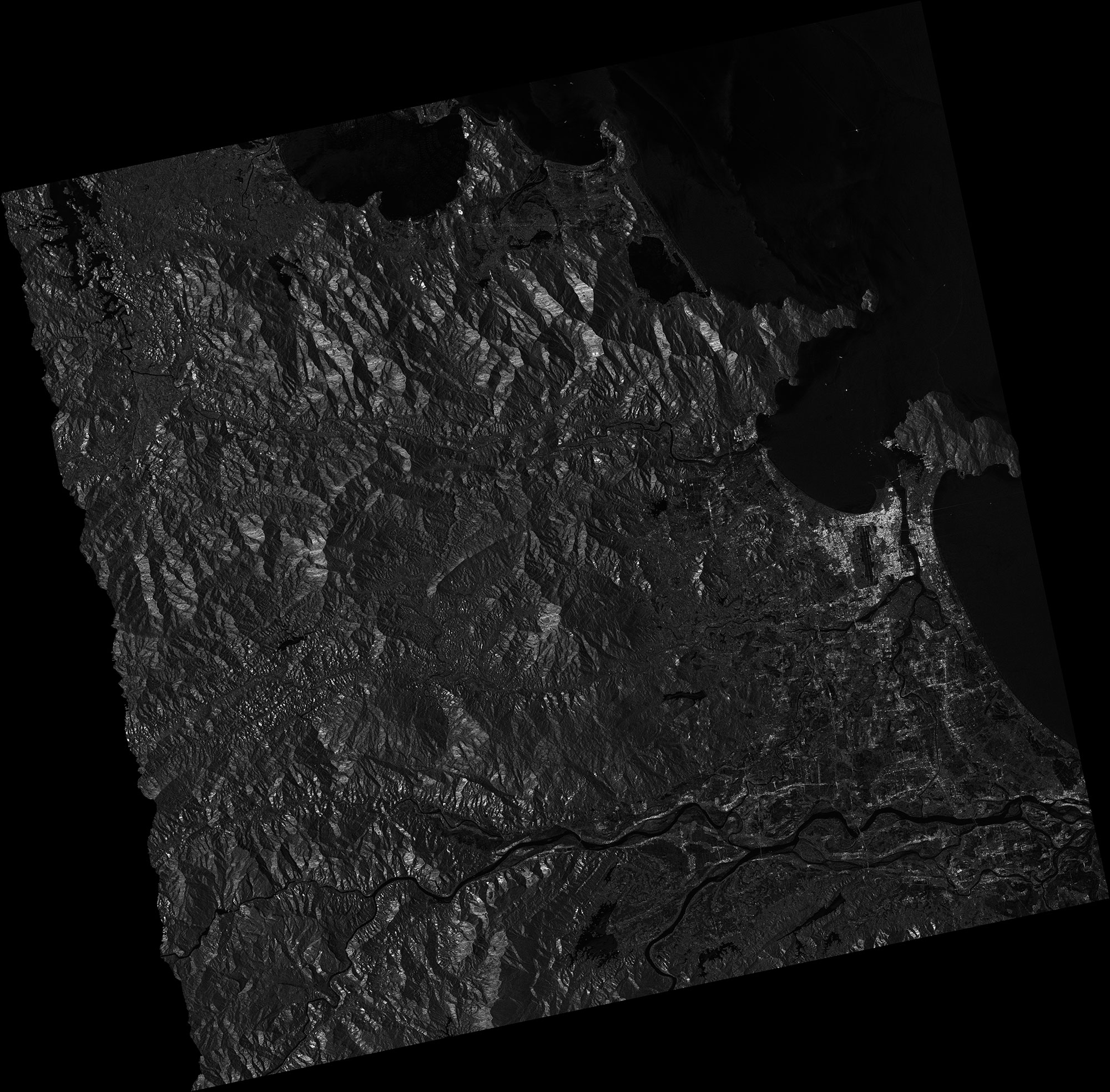
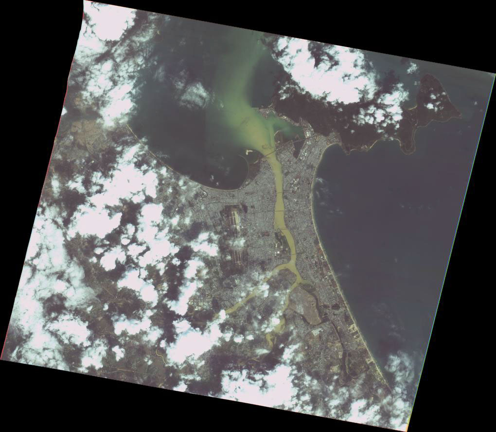
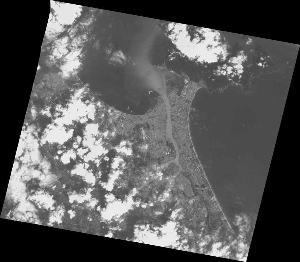
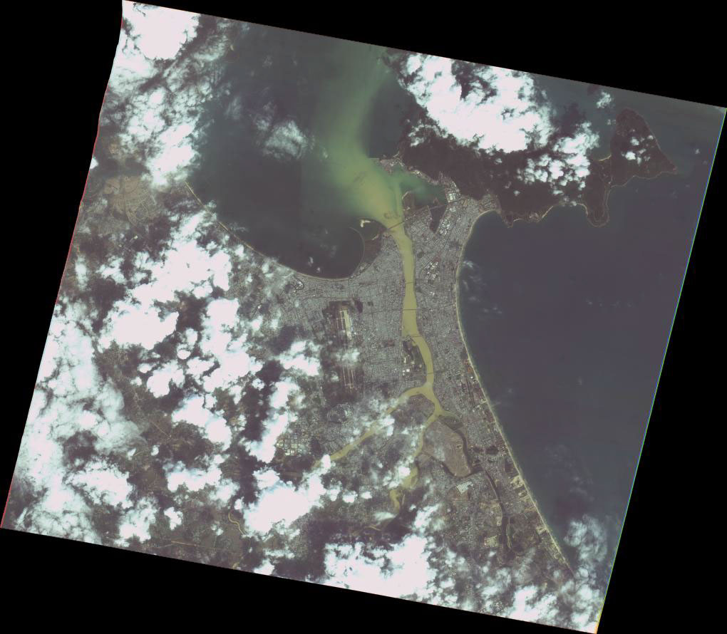
2020-11-15 Flood and Landslides in Vietnam on 15 November, 2020

Emergency Obs. Request Information

  • Disaster Type: Flood, Landslide, Storm
  • Country: Vietnam
  • Occurrence Date (UTC): 15 November, 2020
  • SA activation Date(UTC): 13 November, 2020
  • Requester: Ministry of Natural Resources and Environment (MONRE)
  • Escalation to the International Charter: No
  • GLIDE Number:

Disaster Situation

Vietnam Meteorological Agency still said that from this afternoon to the night of nov 15, provinces from Ha Tinh to Quang Nam rained 200-300 mm. According to the disaster response scenario, for typhoon level 13 and level 15.

Product

 AIT 

DETECTED FLOOD WATER IN THUA THIEN - HUE PROVINCE, VIETNAM

As observed by ALOS-2 image on 17 November 2020

Detected Flood Water in VIETNAM
This file includes the shape file

 MBRSC 

2020-11-15

Vietnam Flood

As observed by SENTINEL-1 image on 15 November 2020

2020-11-15

Vietnam Landslide

As observed by SENTINEL-1 image on 15 November 2020

2020-11-15

Vietnam Storm

As observed by SENTINEL-1 image on 15 November 2020

Web GIS

Satellite Image

 Before Disaster

 JAXA 

2020-03-24

ALOS-2 PALSAR-2,
Mar. 24, 2020

2020-03-24

ALOS-2 PALSAR-2,
Mar. 24, 2020

2020-06-02

ALOS-2 PALSAR-2,
Jun. 2, 2020

2020-06-02

ALOS-2 PALSAR-2,
Jun. 2, 2020

 After Disaster

 ISRO 

2020-11-19

RESOURCESAT-2 AWiFS
Nov. 19, 2020

 JAXA 

2020-11-17

ALOS-2 PALSAR-2,
Nov. 17, 2020

2020-11-17

ALOS-2 PALSAR-2,
Nov. 17, 2020

2020-11-17

ALOS-2 PALSAR-2,
Nov. 17, 2020

2020-11-17

ALOS-2 PALSAR-2,
Nov. 17, 2020

 NARL 

2020-11-21

FORMOSAT-5 DIMAP
Product Level4 MS
Nov. 21, 2020

2020-11-21

FORMOSAT-5 DIMAP
Product Level4 PAN
Nov. 21, 2020

2020-11-21

FORMOSAT-5 DIMAP
Product Level4 PMS
Nov. 21, 2020