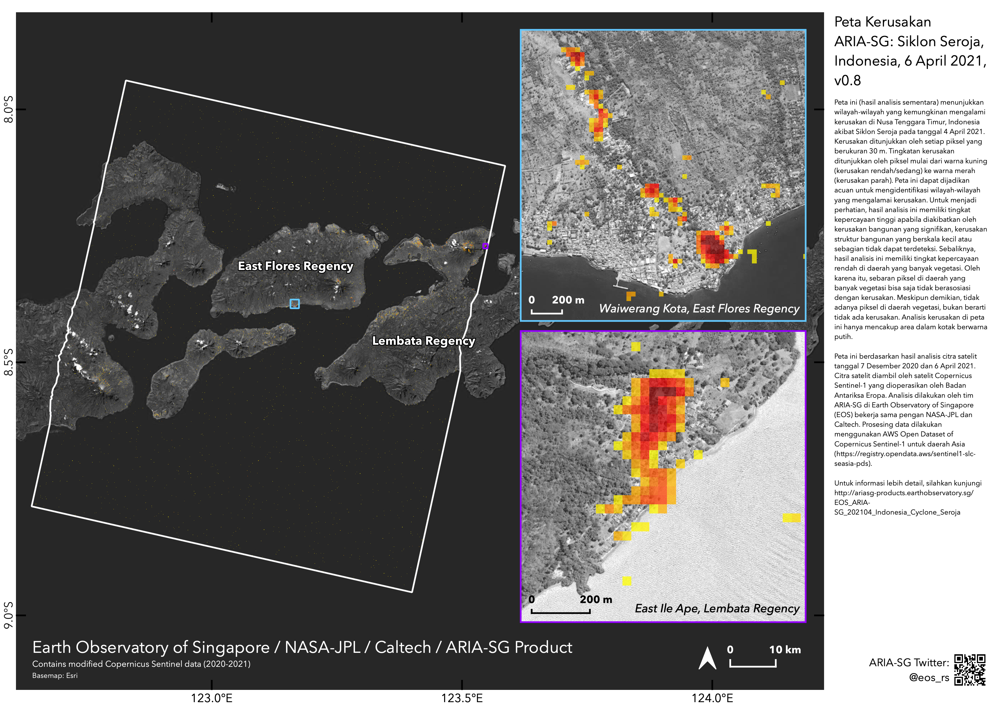
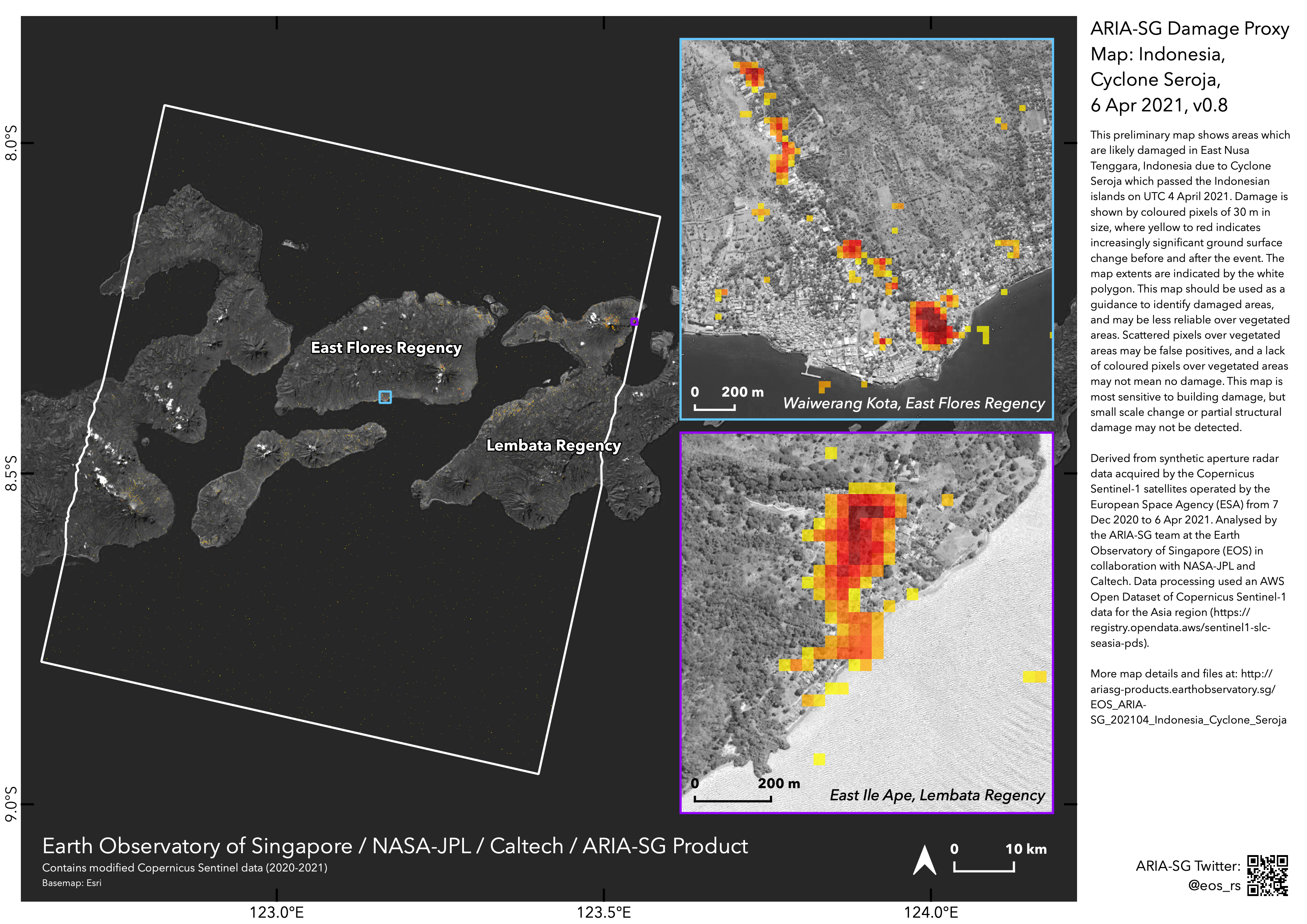
2021-04-04
Emergency Obs. Request Information
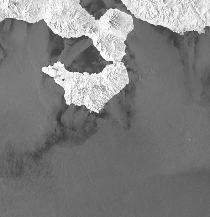
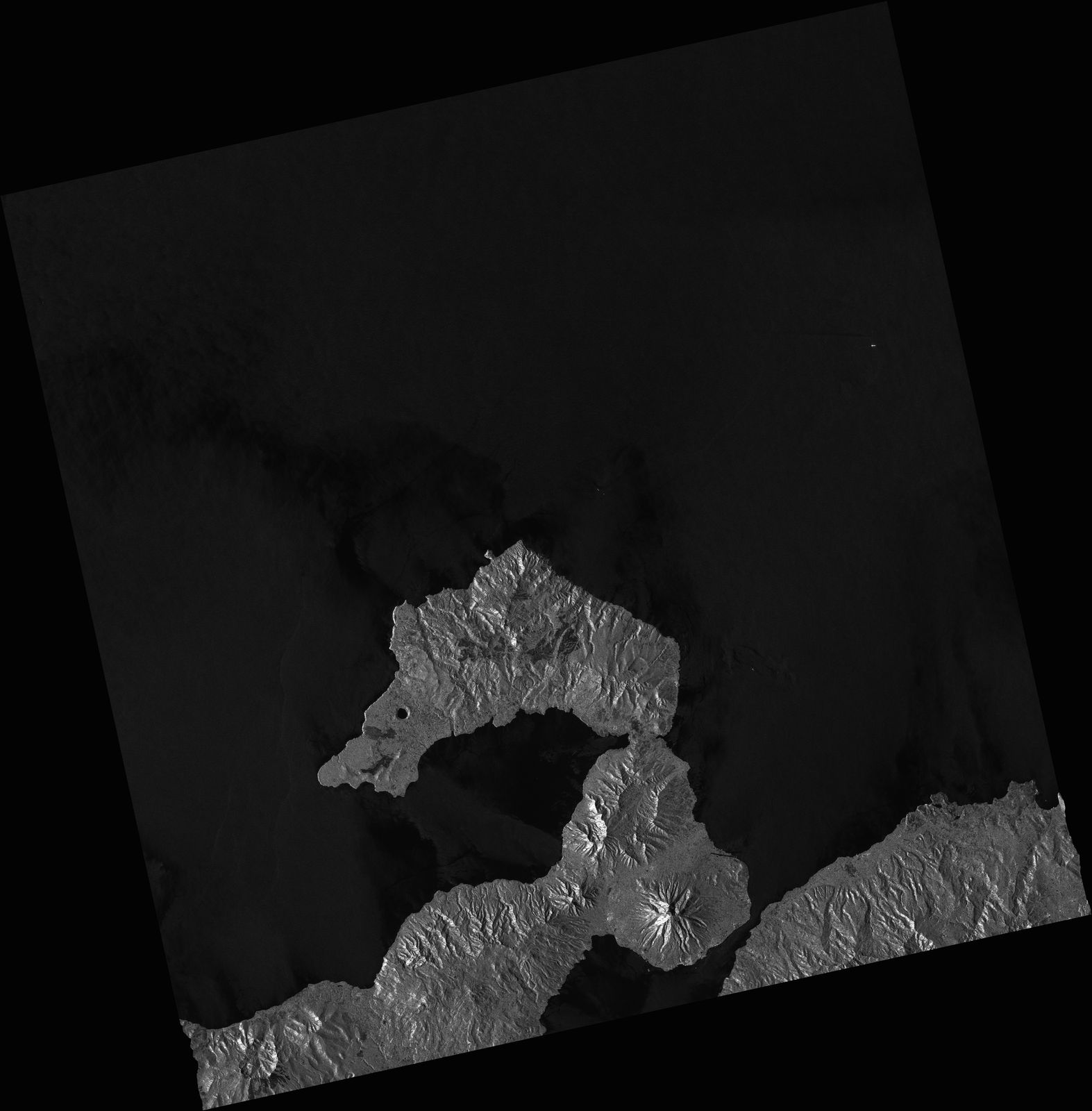
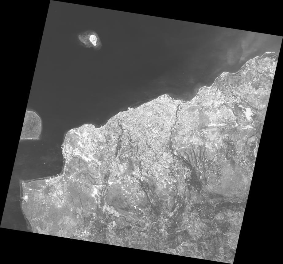
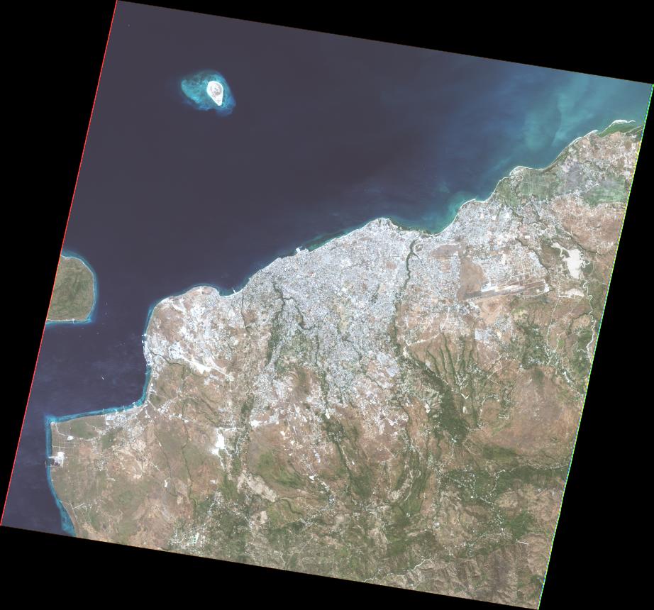
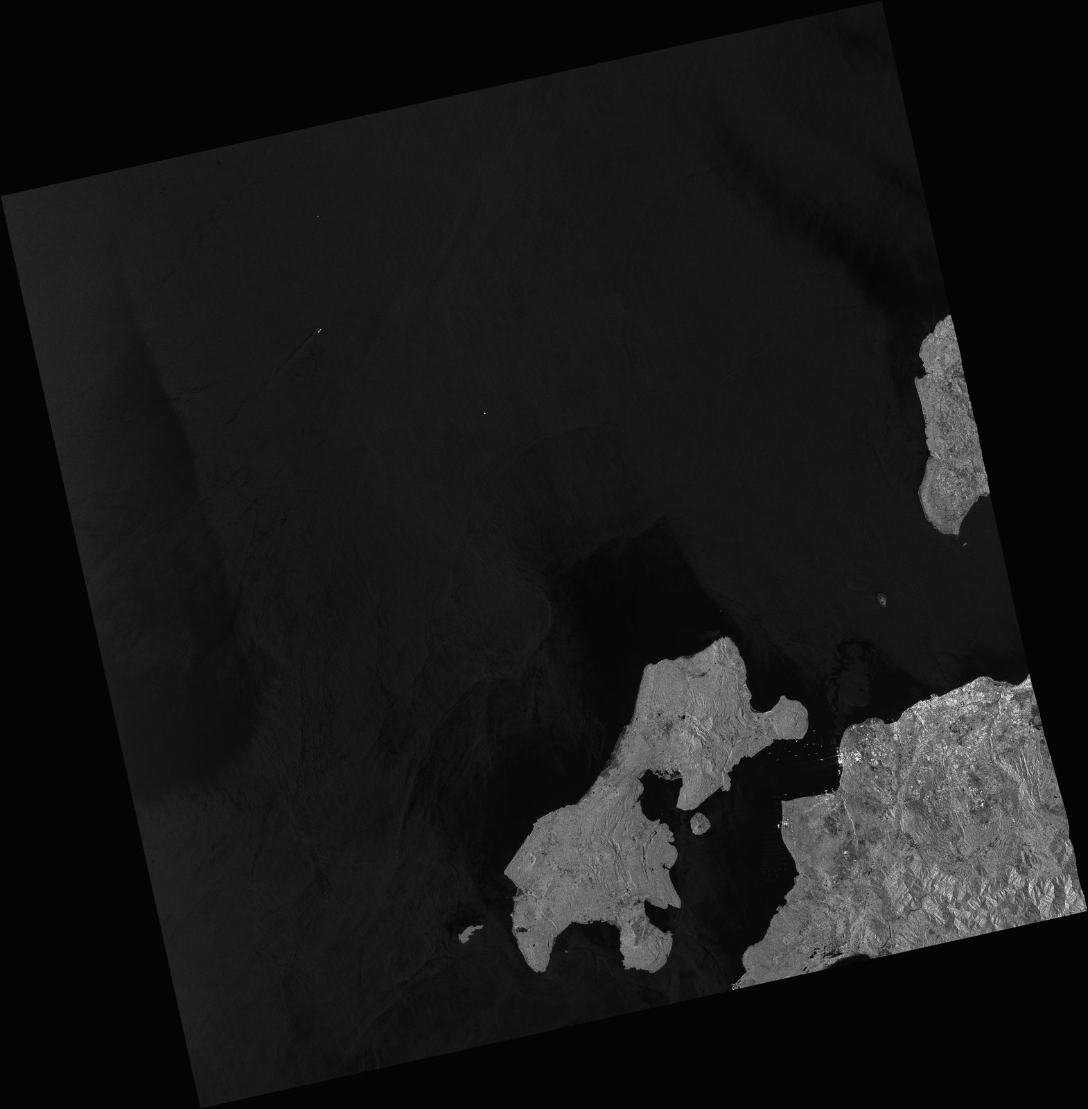
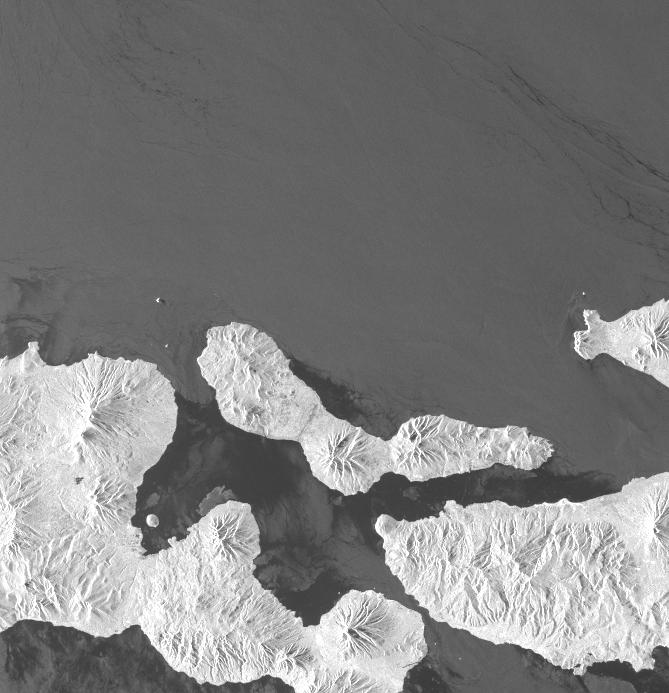
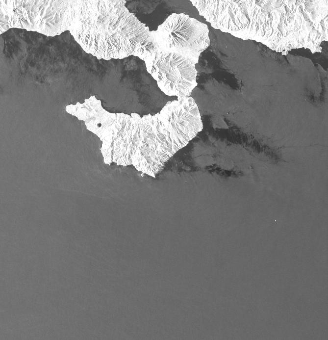
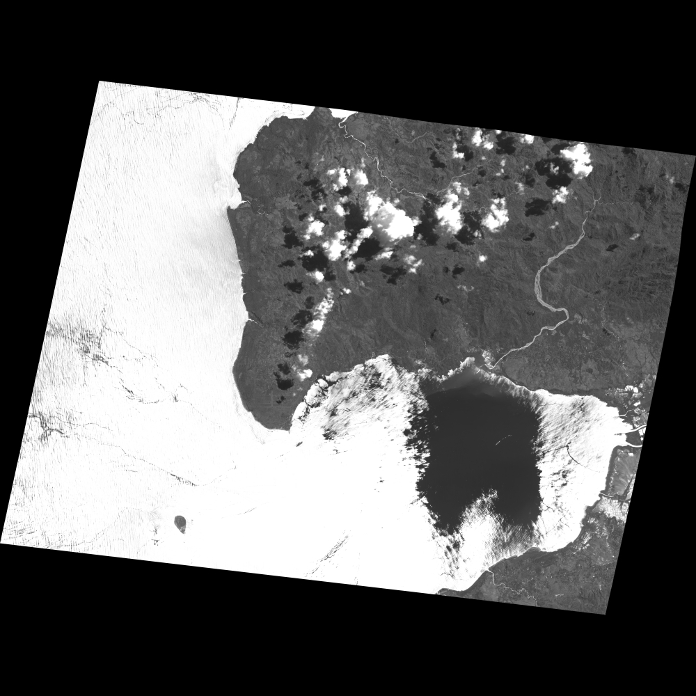
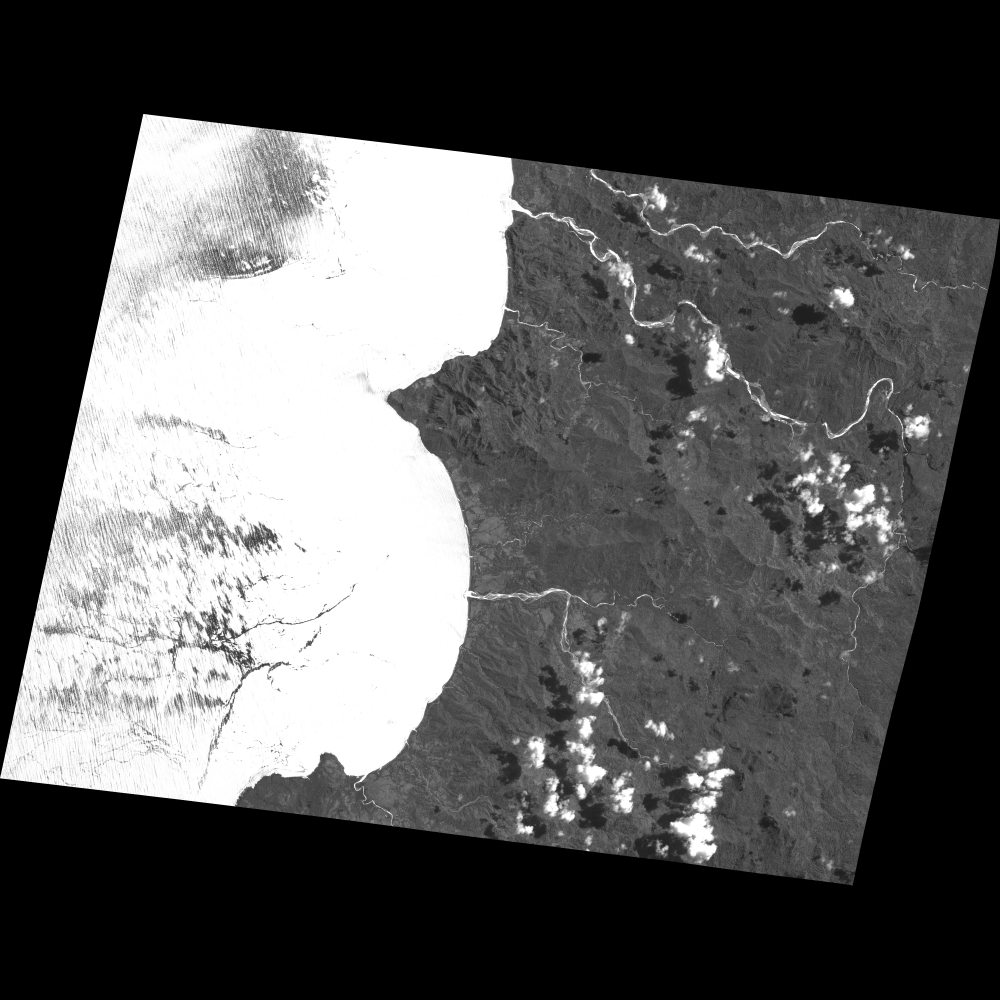
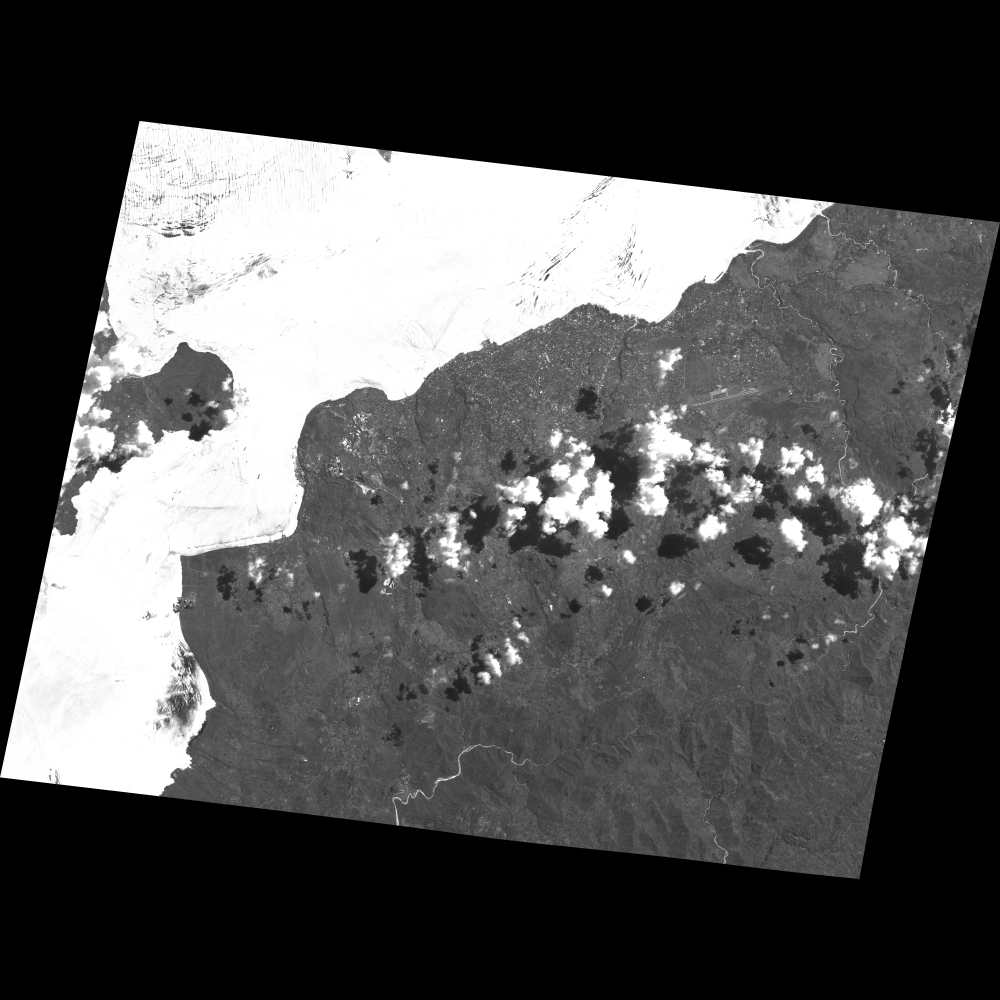
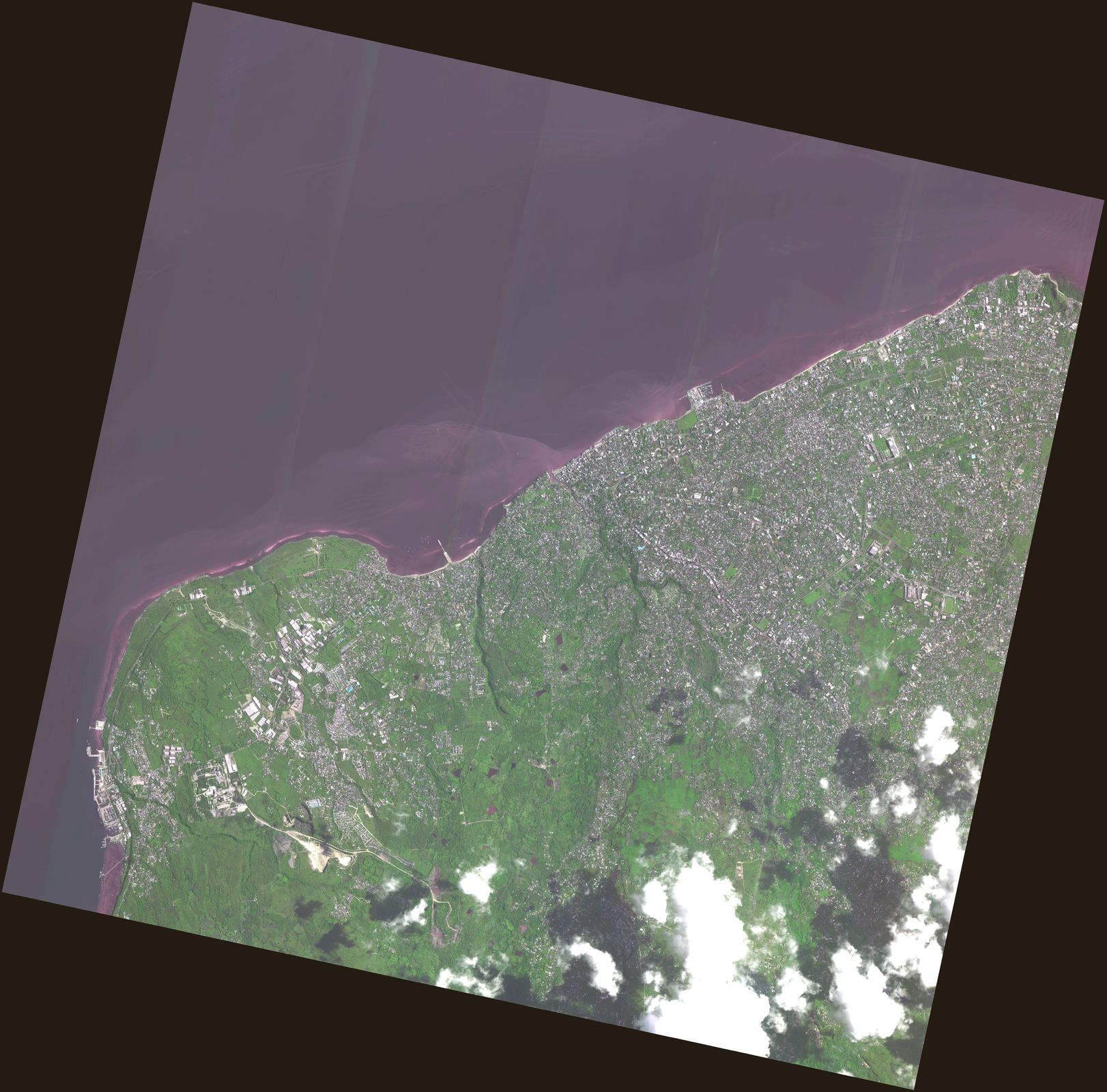
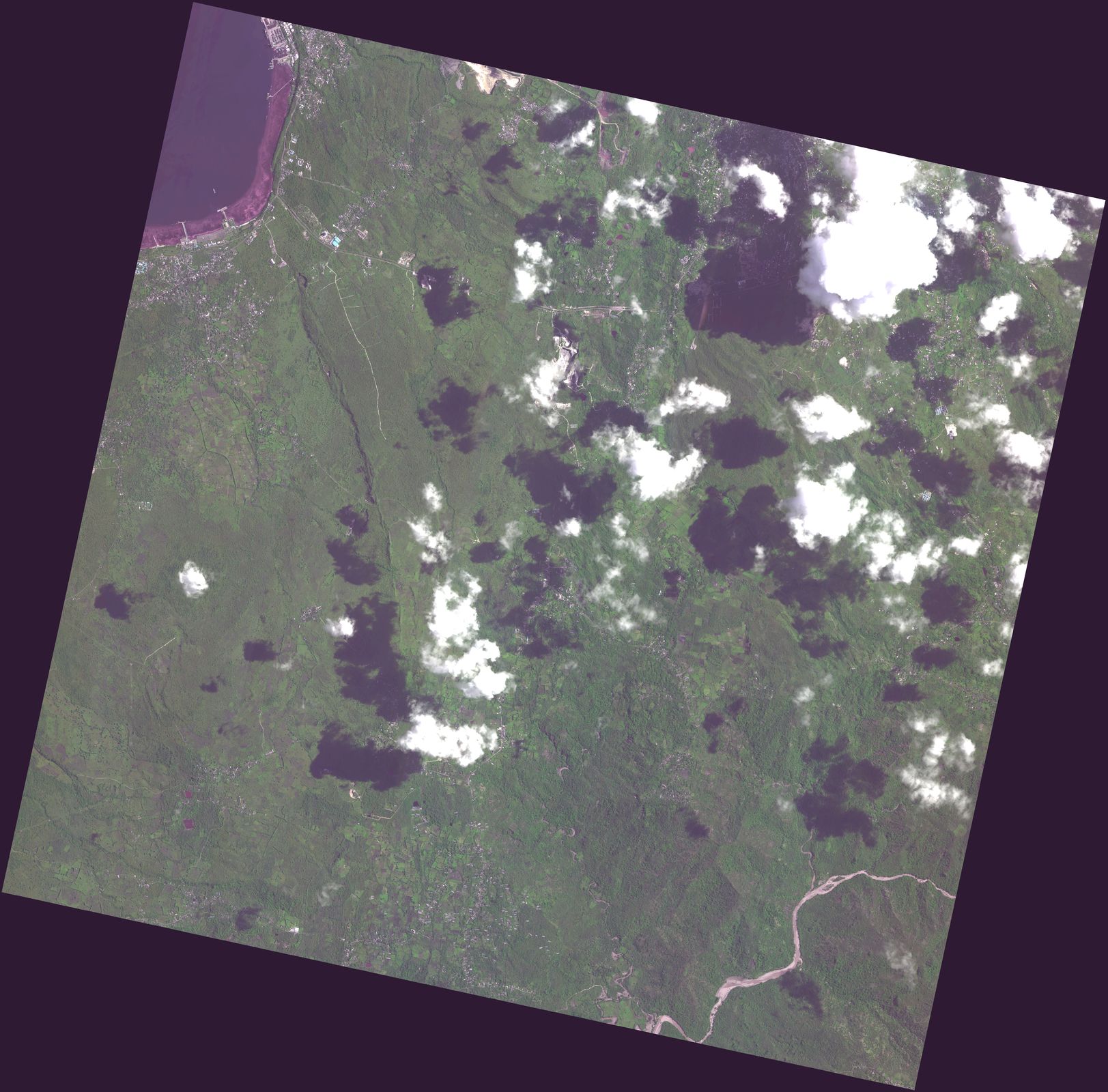
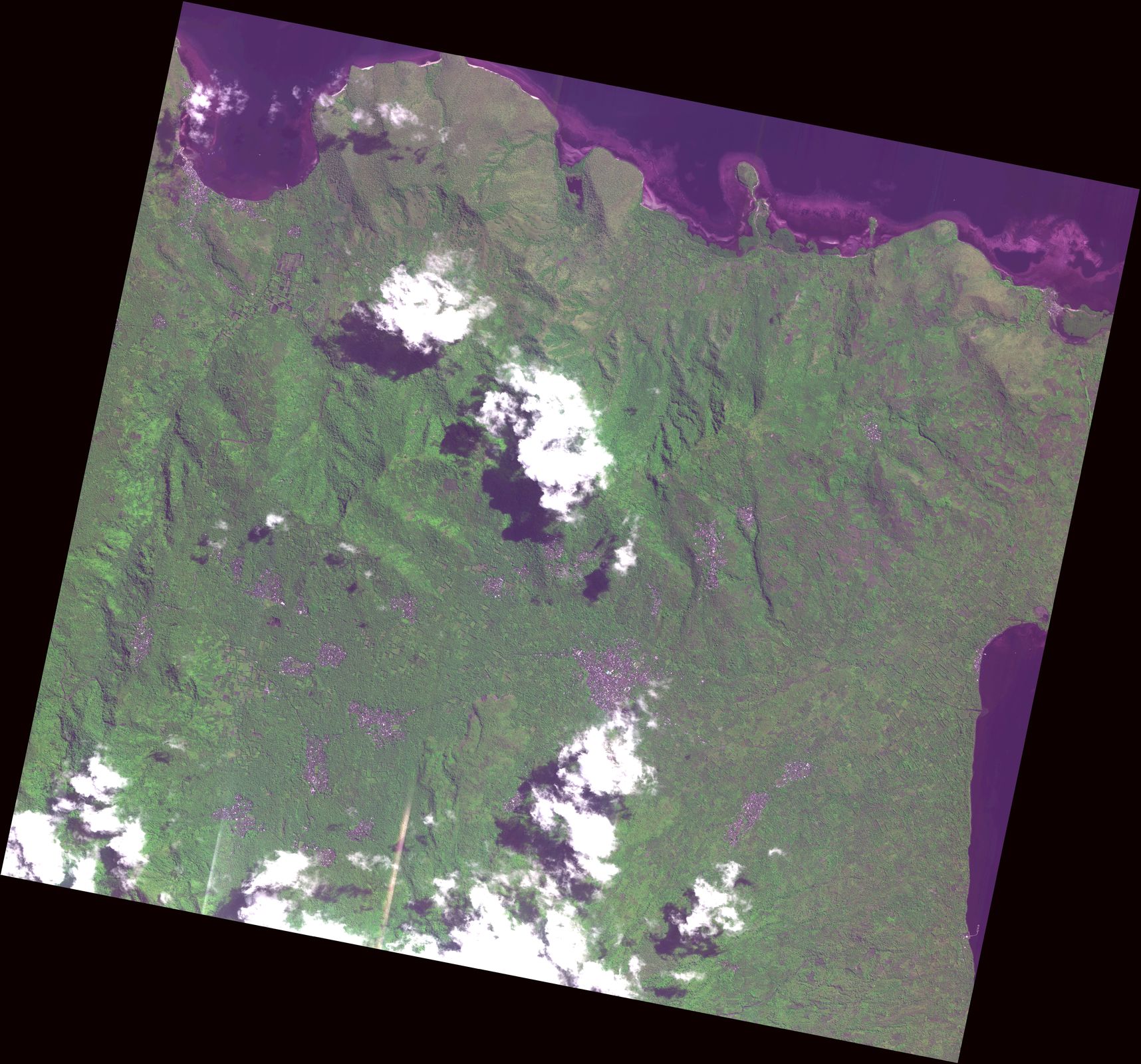
- Disaster Type: Flood, Landslide
- Country/Region: Indonesia
- Occurrence Date (UTC): 4 April, 2021
- SA activation Date(UTC): 6 April, 2021
- Requester: Indonesian National Institute of Aeronautics and Space (LAPAN)
- Escalation to the International Charter: Yes
- GLIDE Number:
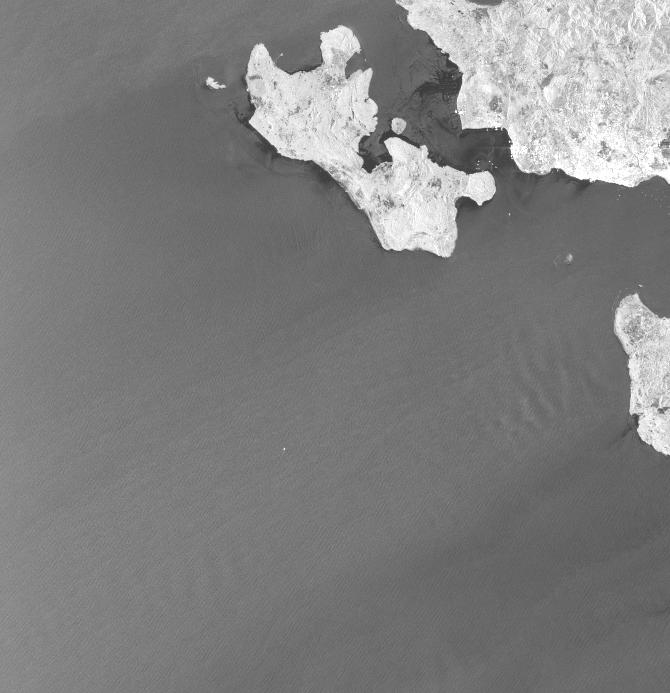
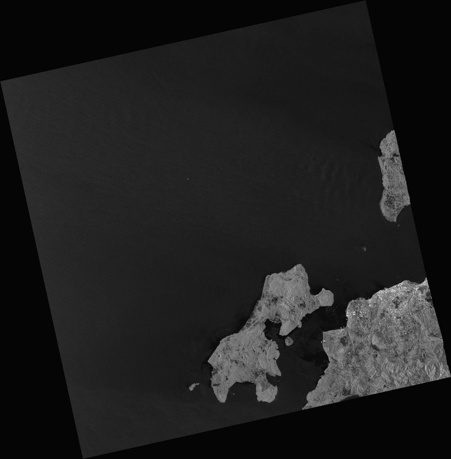
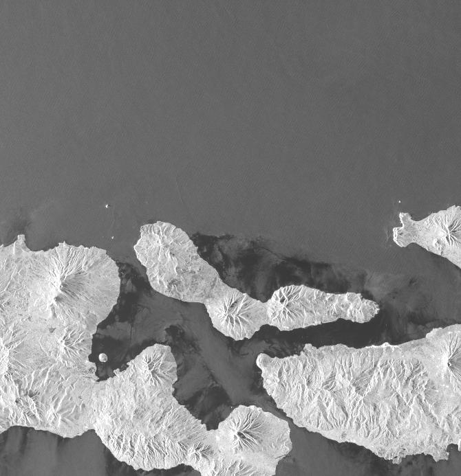
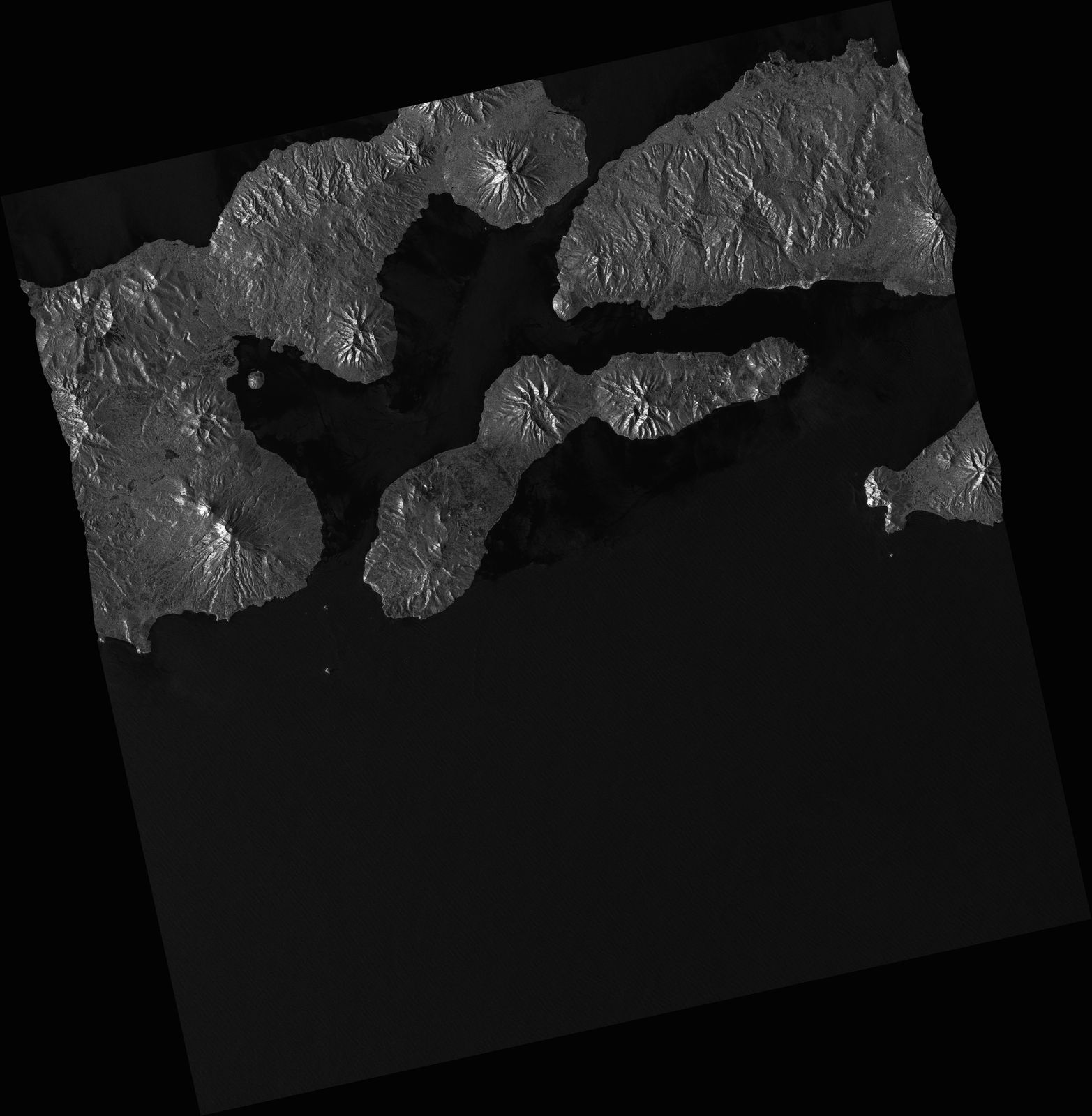
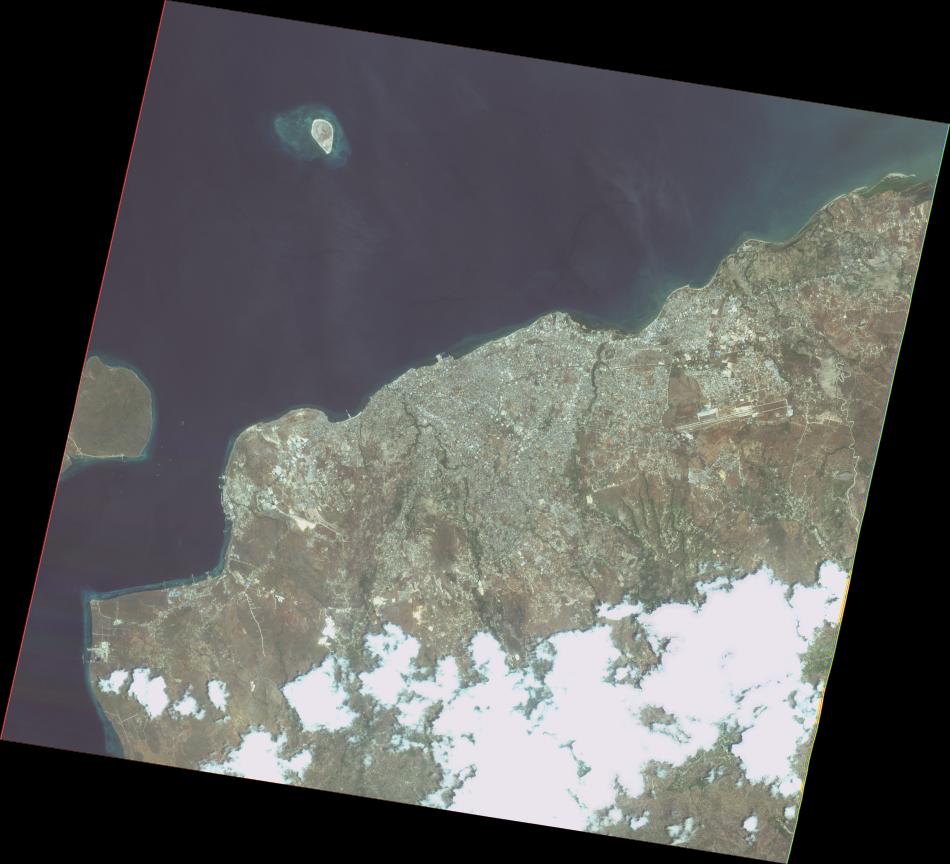
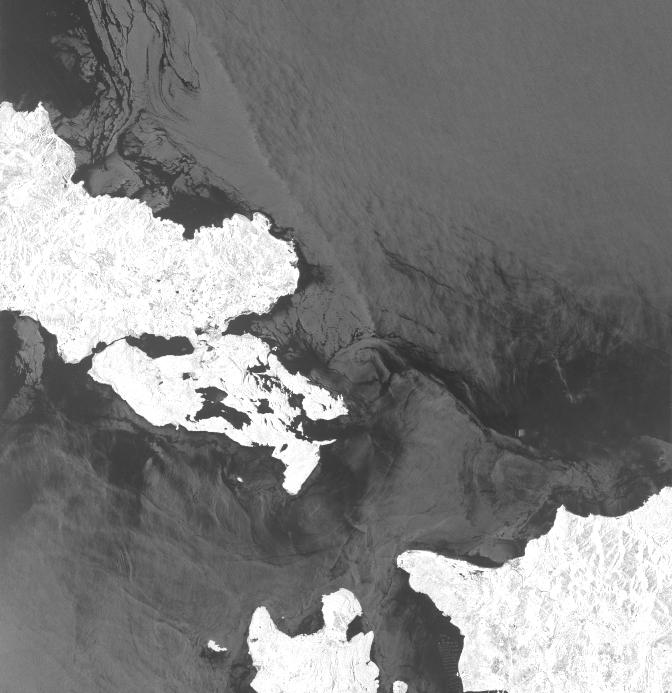
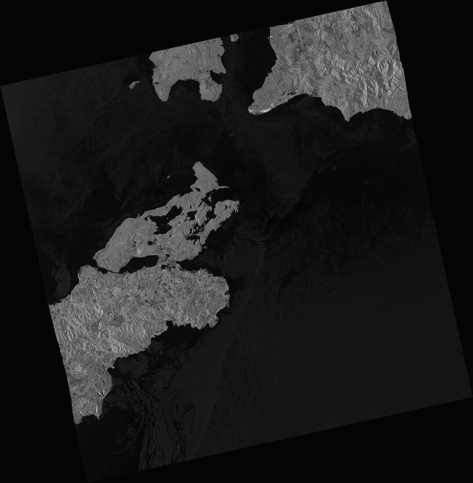
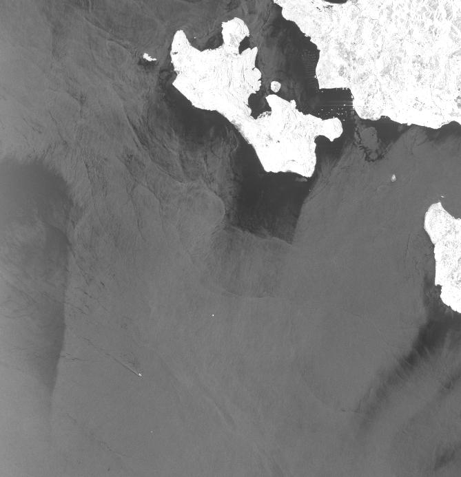
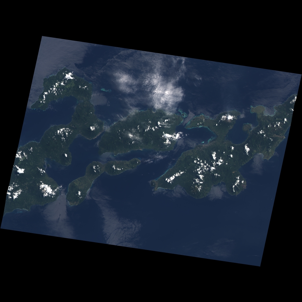
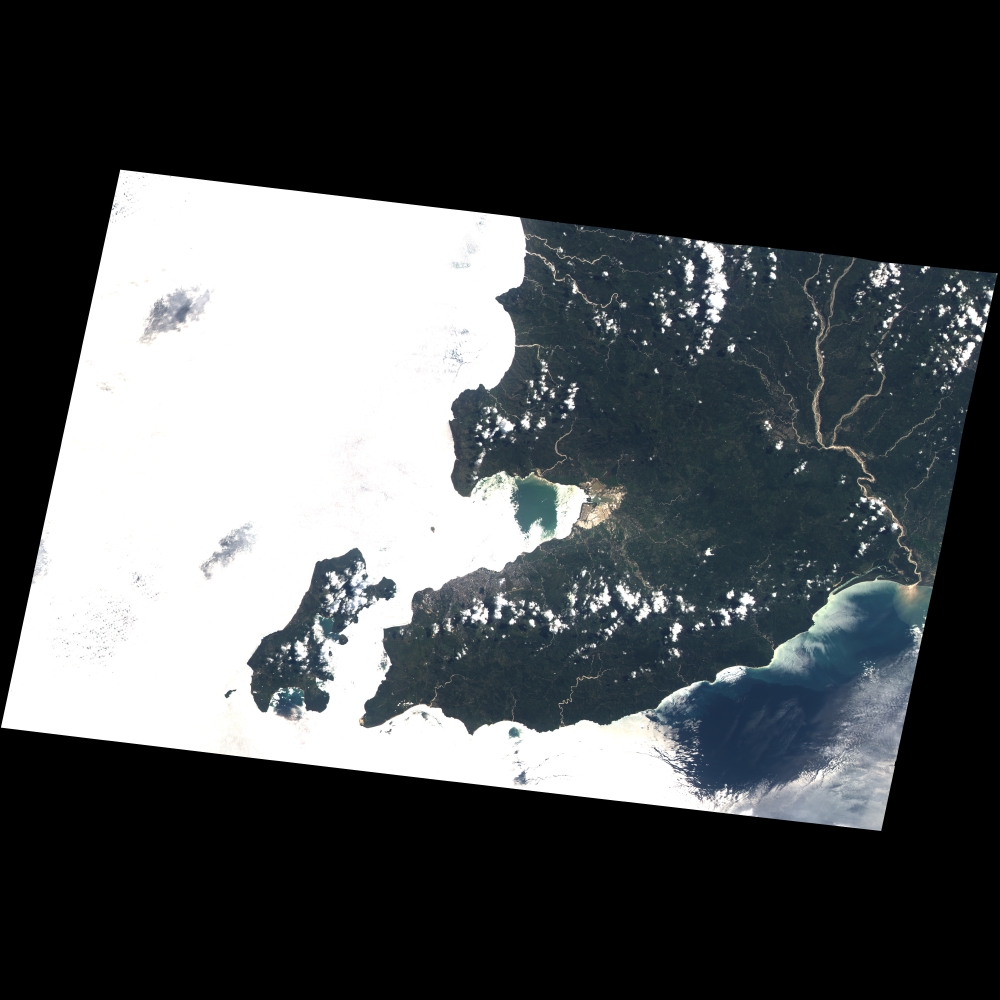
Disaster Situation
Cyclone-triggered rains on islands in southeast Indonesia and East Timor have caused flooding and
landslides that have killed more than 110 people, officials said, as the search was on for many others who are missing. Category 2 Seroja raked the area as the storm tracked on a course for Western Australia, dumping heavy rain on the islands and triggering mudslides that buried homes and people.
https://kalsel.antaranews.com/berita/245438/some-128-died-in-east-nusa-tenggara-flash-floods-landslides
https://www.npr.org/2021/04/05/984398613/flooding-landslides-in-indonesia-and-e-timor-kills-more-than-110-people
https://en.tempo.co/read/1449579/flash-floods-several-ntt-regions-still-isolated