2021-09-13
Emergency Obs. Request Information

- Disaster Type: Flood, Landslide and Storm
- Country/Region: Vietnam
- Occurrence Date (UTC): 13 September, 2021
- SA activation Date(UTC): 13 September, 2021
- Requester: Ministry of Natural Resources and Environment (MONRE)
- Escalation to the International Charter: No
- GLIDE Number: TC-2021-000136-PHL
Disaster Situation
https://video.vnexpress.net/tin-tuc/thoi-su/bao-con-son-dang-huong-vao-da-nang-binh-dinh-4355072.html
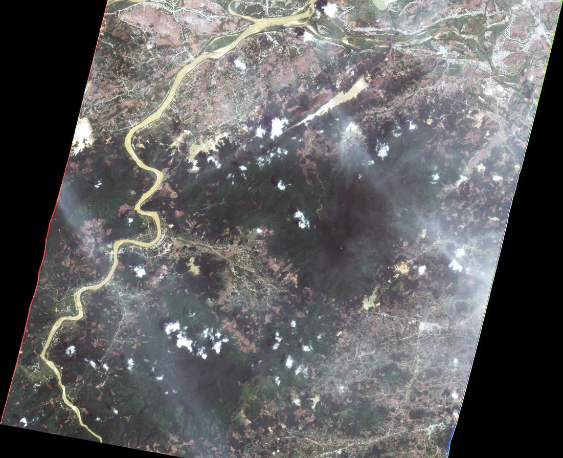
Due to the influence of storm No. 5 at Ly Son island station (Quang Ngai), there was a strong wind of level 8, level 10; at Con Co island station (Quang Tri) with gusts of level 8; Dung Quat (Quang Ngai) has strong winds of level 6, gusts of level 8; Tra Cau (Quang Ngai) has gusty winds of level 7. The area from Quang Tri to Binh Dinh has had heavy to very heavy rain with a common rainfall of 150-300mm, some places over 350mm.
Product
AIT
2021-09-20
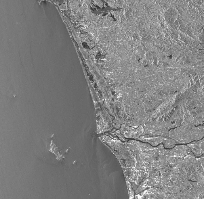
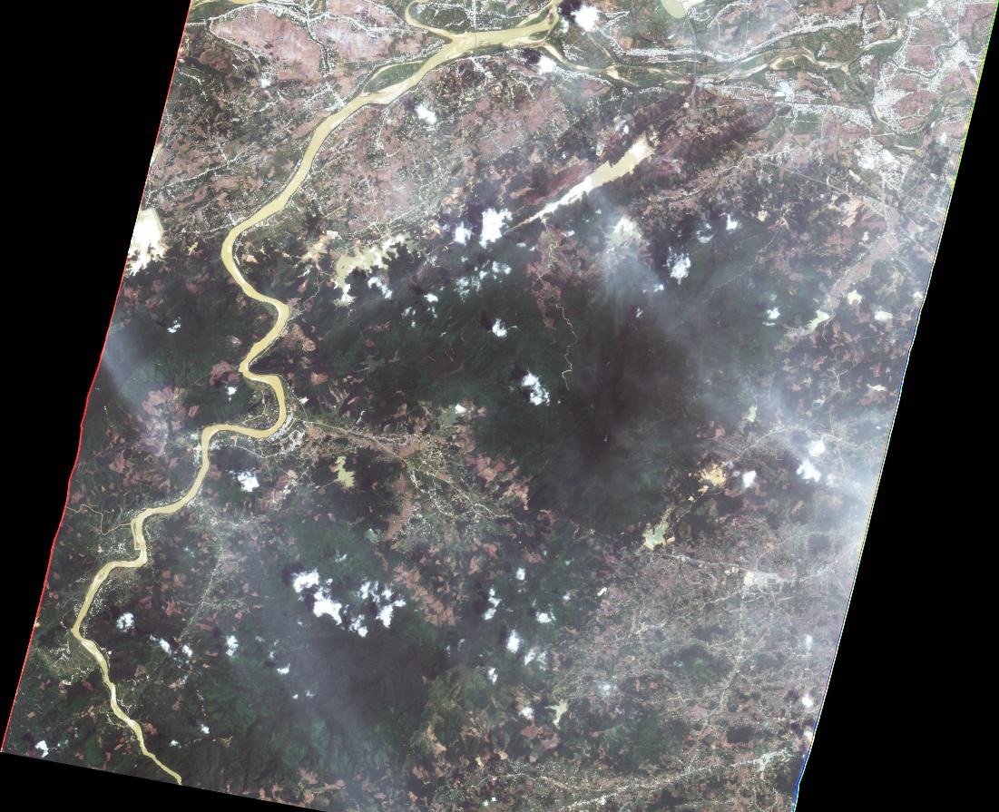
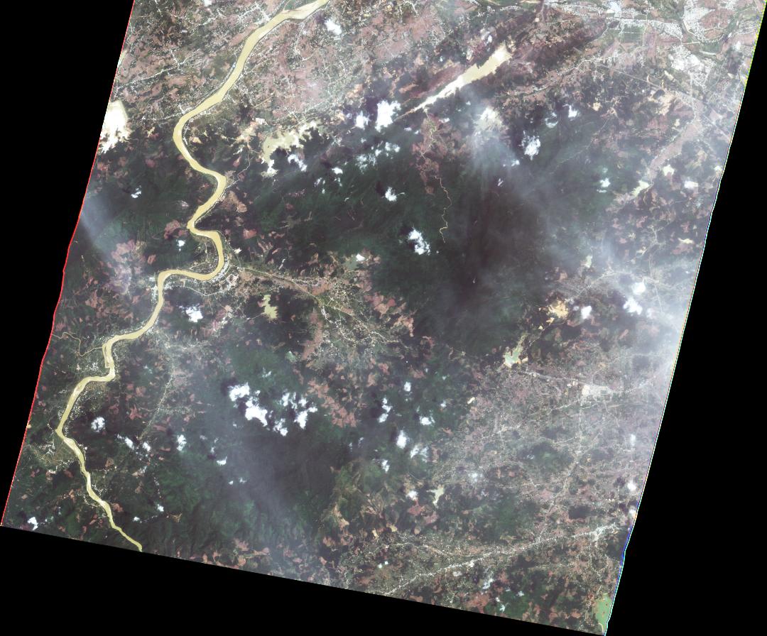
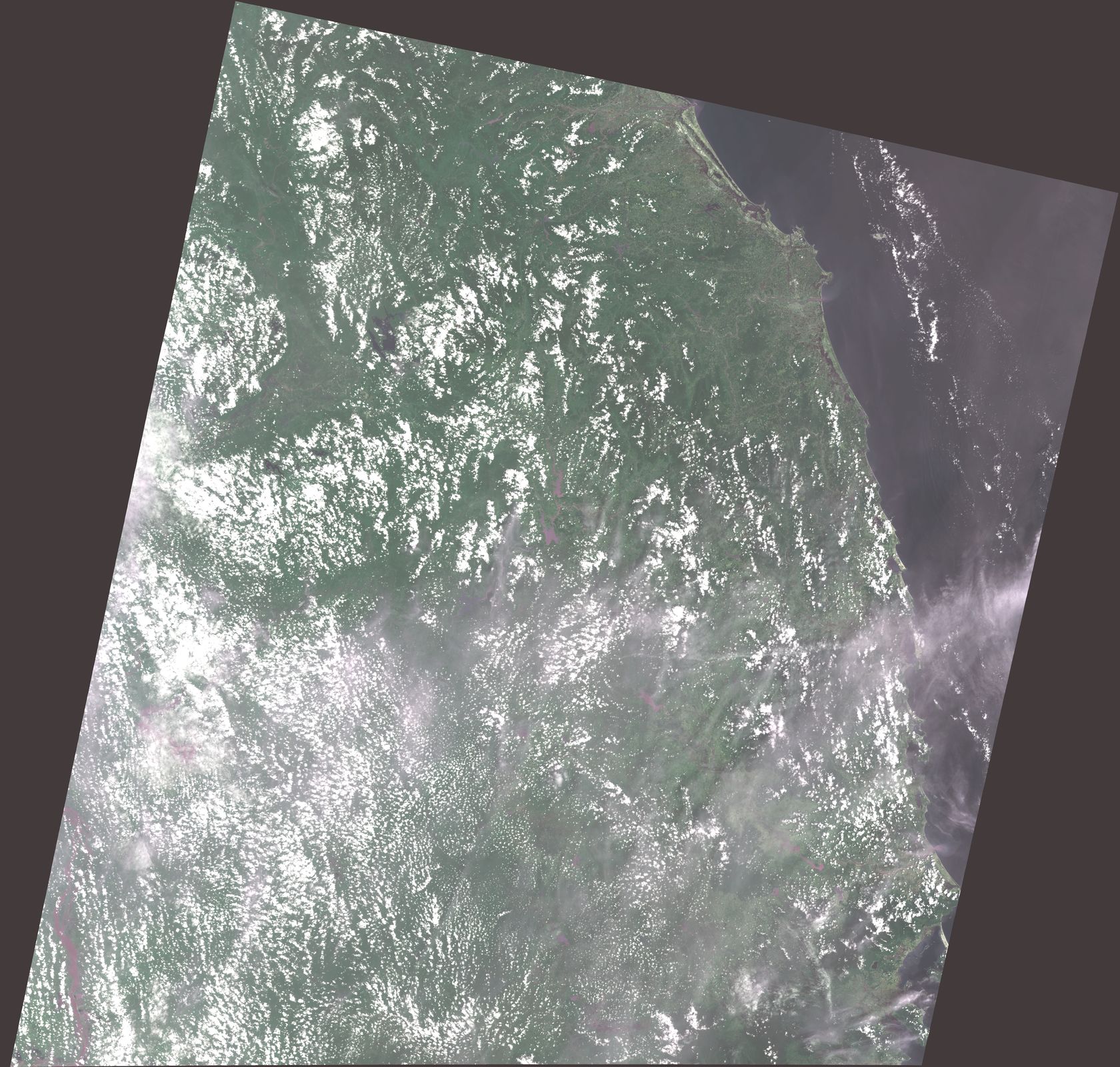
DETECTED WATER IN THUA THIEN - HUE PROVINCE, VIETNAM As observed by ALOS-2 image on 15 September 2021
2021-09-20
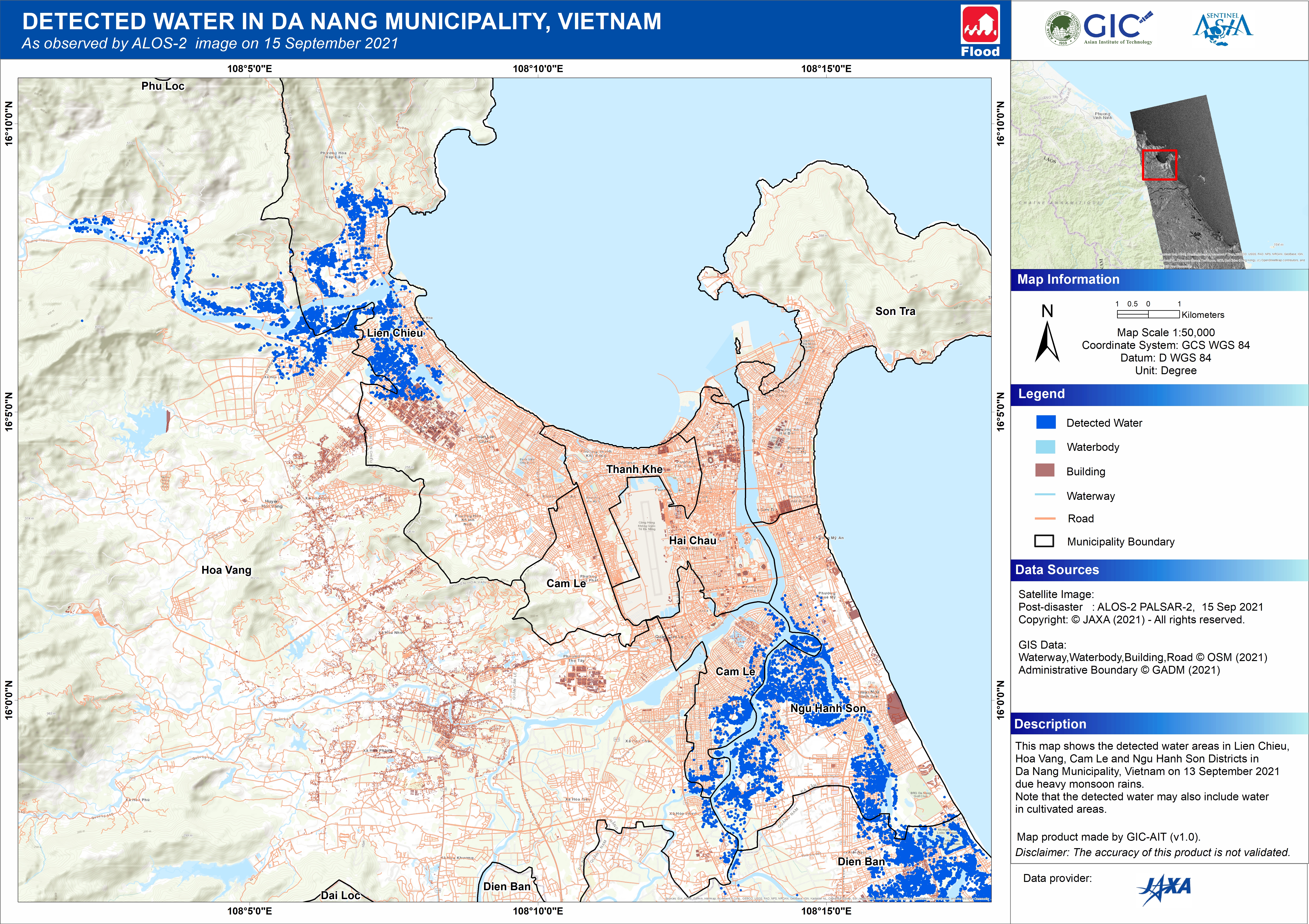
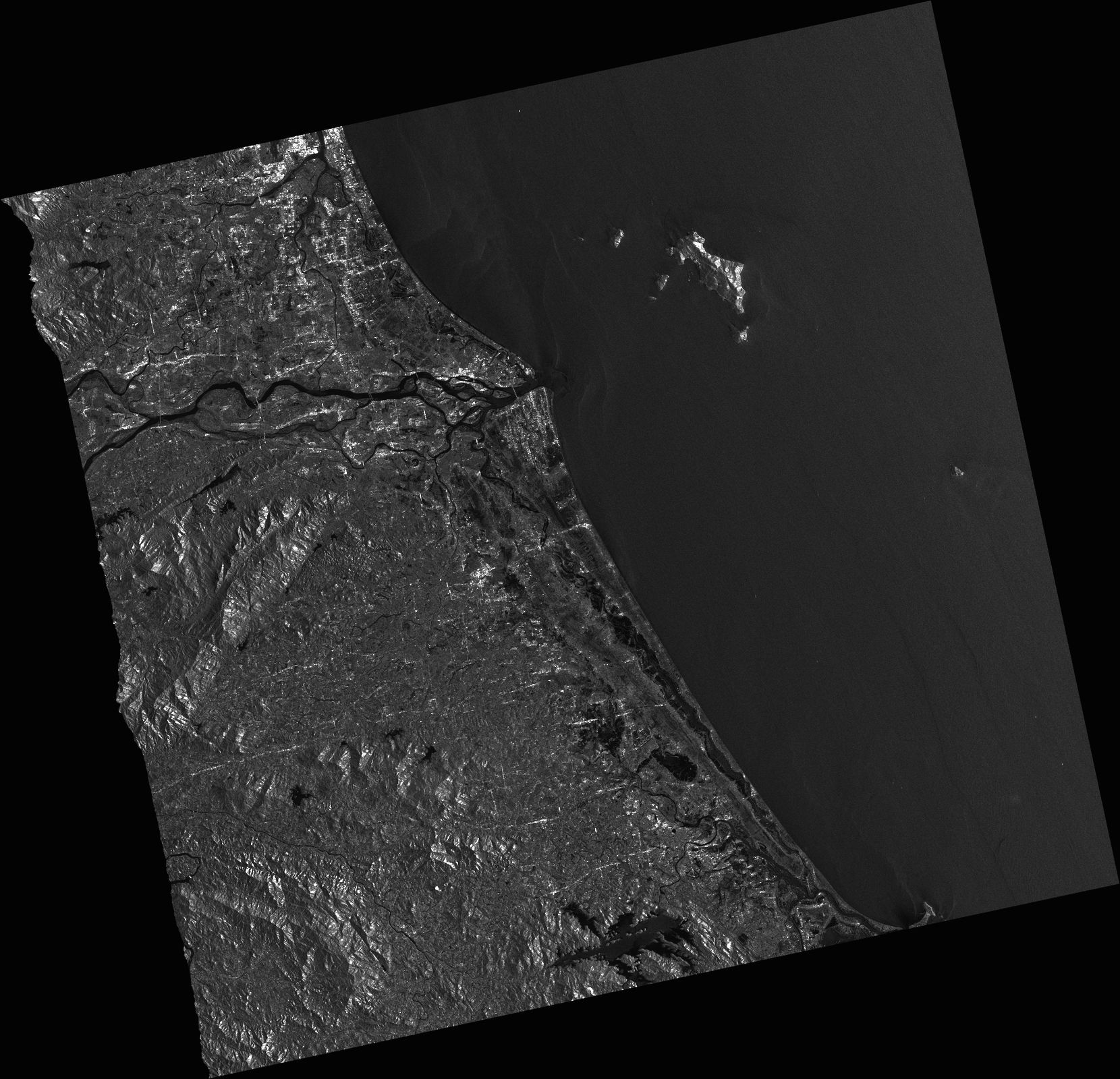
DETECTED WATER IN DA NANG MUNICIPALITY, VIETNAM As observed by ALOS-2 image on 15 September 2021
2021-09-20
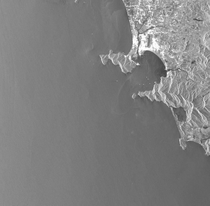
DETECTED WATER IN QUANG NAM PROVINCE, VIETNAM As observed by ALOS-2 image on 15 September 2021
2021-09-20
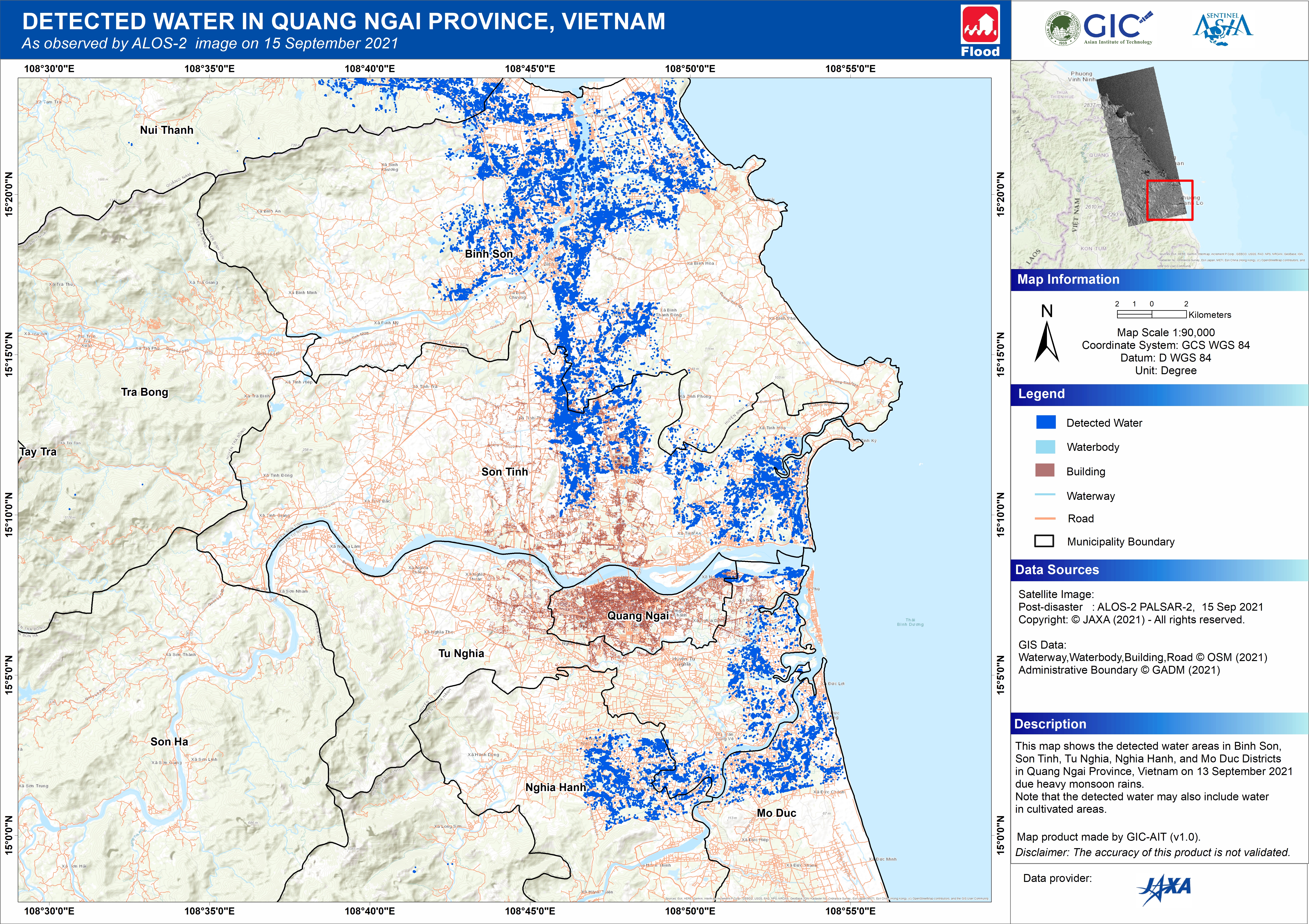
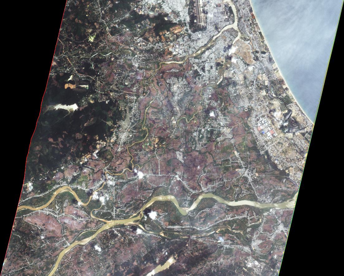
DETECTED WATER IN QUANG NAGI PROVINCE, VIETNAM As observed by ALOS-2 image on 15 September 2021
2021-09-20