2021-10-22
Emergency Obs. Request Information
- Disaster Type: Flood and Landslide
- Country/Region: Vietnam
- Occurrence Date (UTC): 22 October, 2021
- SA activation Date(UTC): 25 October, 2021
- Requester: Ministry of Natural Resources and Environment (MONRE)
- Escalation to the International Charter: No
- GLIDE Number: FL-2021-000166-VNM
Disaster Situation
https://nchmf.gov.vn/Kttv/vi-VN/1/tin-mua-lon-o-khu-vuc-tu-quang-nam-den-khanh-hoa-canh-bao-mua-lon-cuc-bo-loc-set-mua-da-gio-giat-manh-o-ninh-thuan-binh-thuan-tay-nguyen-va-nam-bo-post24107.html
From October 22 to early this morning (October 25), the area from Thua Thien Hue to Binh Dinh has very heavy rain with the total amount of rain (calculated from 7:00 a.m. on October 22 to 7:00 a.m. on October 25). 250-500mm, some places over 700mm such as: Bach Ma (Thua Thien Hue) 686.6mm, Thang Binh (Quang Nam) 940.8mm, Nui Thanh (Quang Nam) 844.6mm, Binh Khuong (Quang Ngai) 847.0mm, Tra Phu (Quang Ngai) 847.0mm. Quang Ngai) 808.4mm, An Nhon (Binh Dinh) 595.0mm, …; In Quang Tri, Phu Yen, Khanh Hoa, Kon Tum and Gia Lai, there is moderate rain, heavy rain, and very heavy rain in places with a total common rainfall (calculated from 7:00 a.m. on October 22 to 7:00 a.m. on October 25) from 50 -130mm, some places over 160mm such as: My Chanh (Quang Tri) 168.0mm, Xuan Lam (Phu Yen) 262.0mm, Cu Mong (Phu Yen) 271.1mm, Van Thanh (Khanh Hoa) 255.4mm, Dai Lanh (Khanh Hoa) ) 207.2mm, Po E (Kon Tum) 318.6mm, Ngok Tem (Kon Tum) 252.6mm, etc. From tomorrow afternoon (October 26) to the end of October 27, in the South Central region, the Central Highlands and the Southeast region, there is a possibility of a heavy to very heavy rain.
Product
AIT
DETECTED FLOOD WATER IN
QUANG NAM PROVINCE,
VIETNAM As observed by ALOS-2 image on 02 November 2021
DETECTED FLOOD WATER IN
QUANG NAM PROVINCE,
VIETNAM As observed by ALOS-2 image on 02 November 2021
Web GIS
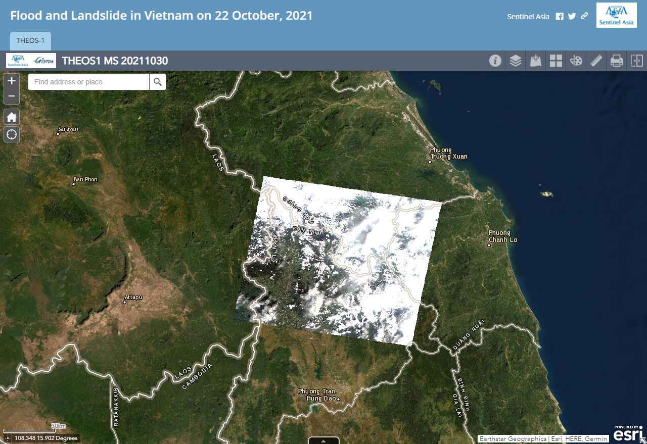
Flood and Landslide in Vietnam on 22 October, 2021 see detail
-

Sentinel Asia member only.
The account will be sent to the EOR requester after Web GIS page is prepared.
If you are interested in to be a member of Sentinel Asia, please contact: z-sentinel.asia@ml.jaxa.jp