2022-04-12
Emergency Obs. Request Information
- Disaster Type: Flood and Landslide
- Country/Region: Philippines
- Occurrence Date (UTC): 12 April, 2022
- SA activation Date(UTC): 12 April, 2022
- Requester: Manila Observatory (MO)
- Escalation to the International Charter: No
- GLIDE Number: TC-2022-000197-PHL
Product
AIT
2022-04-16
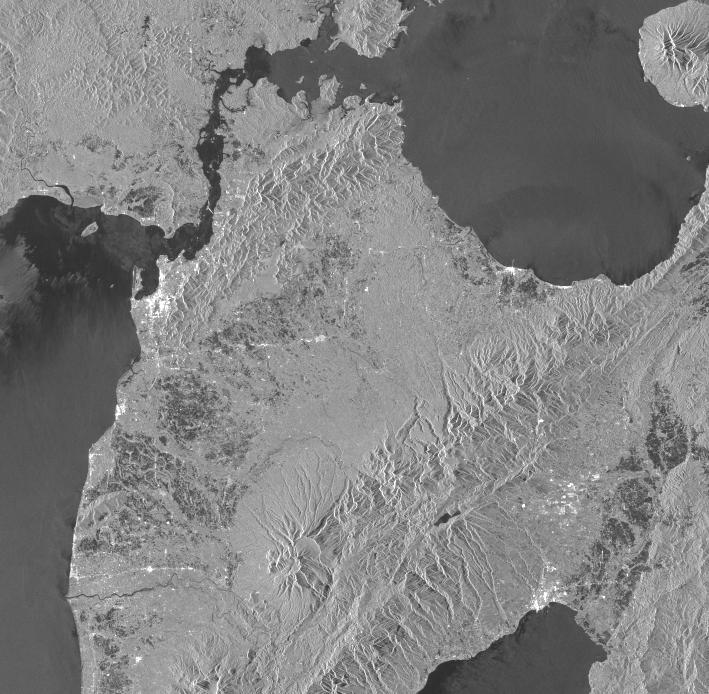
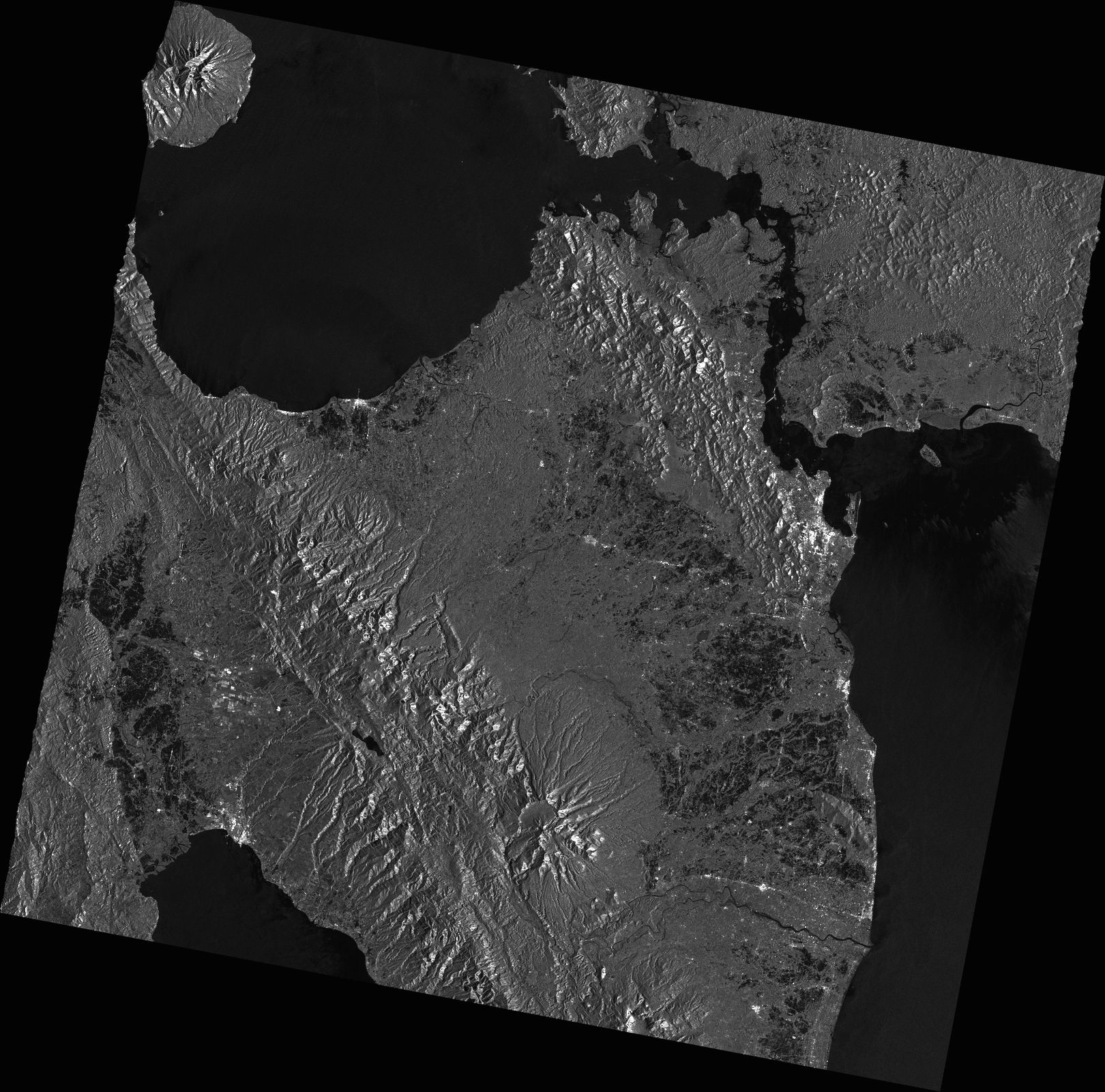
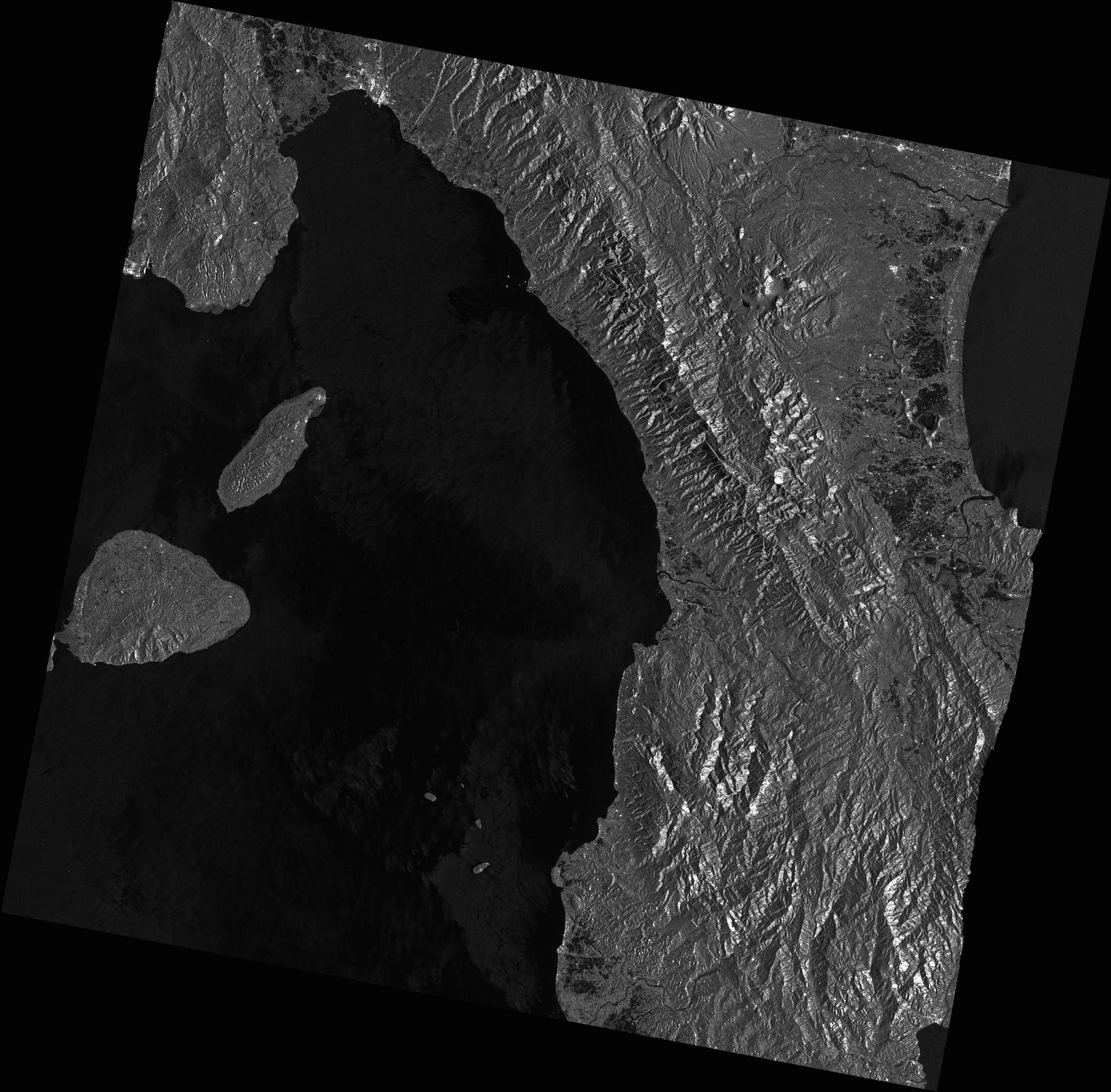
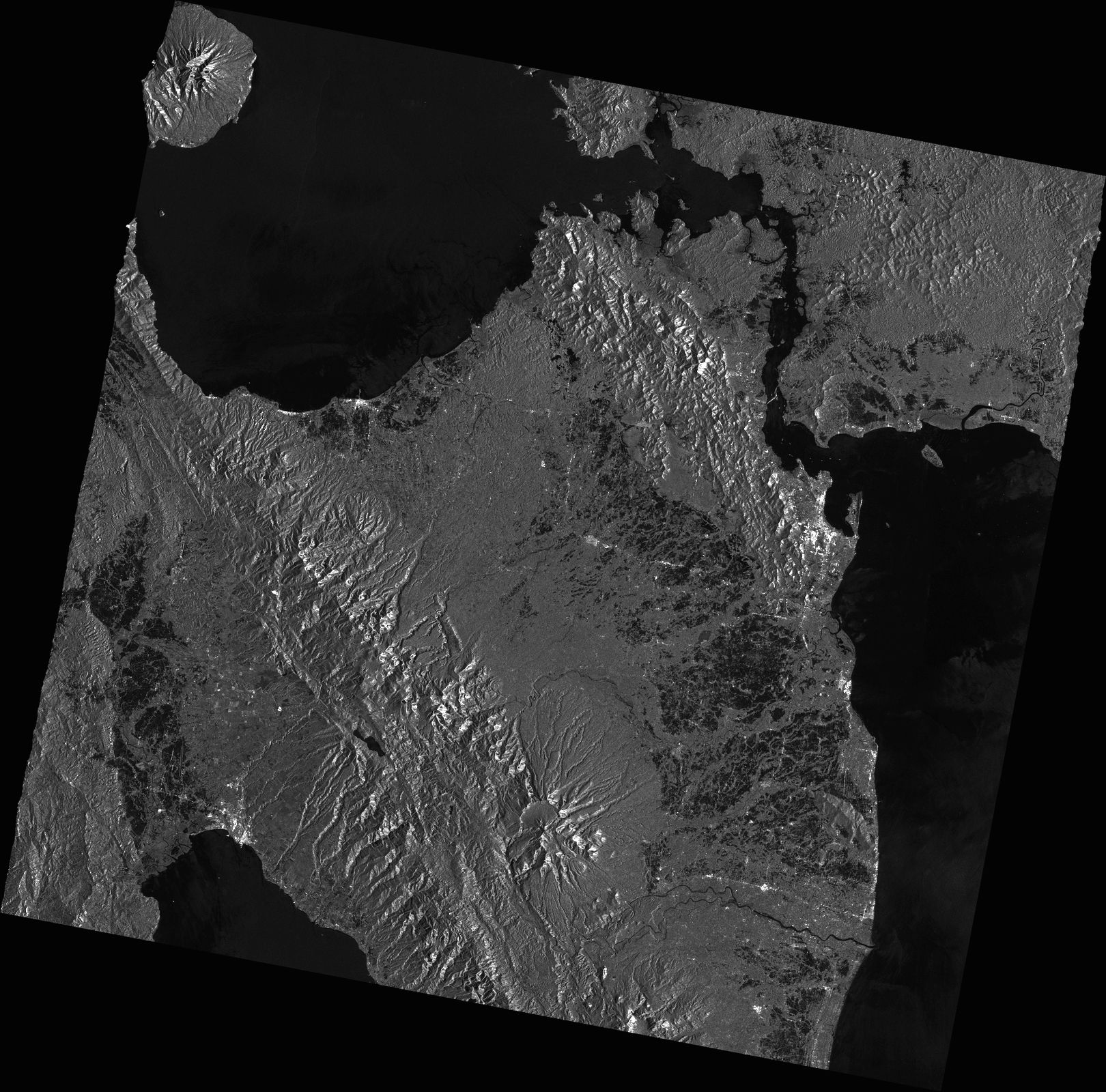
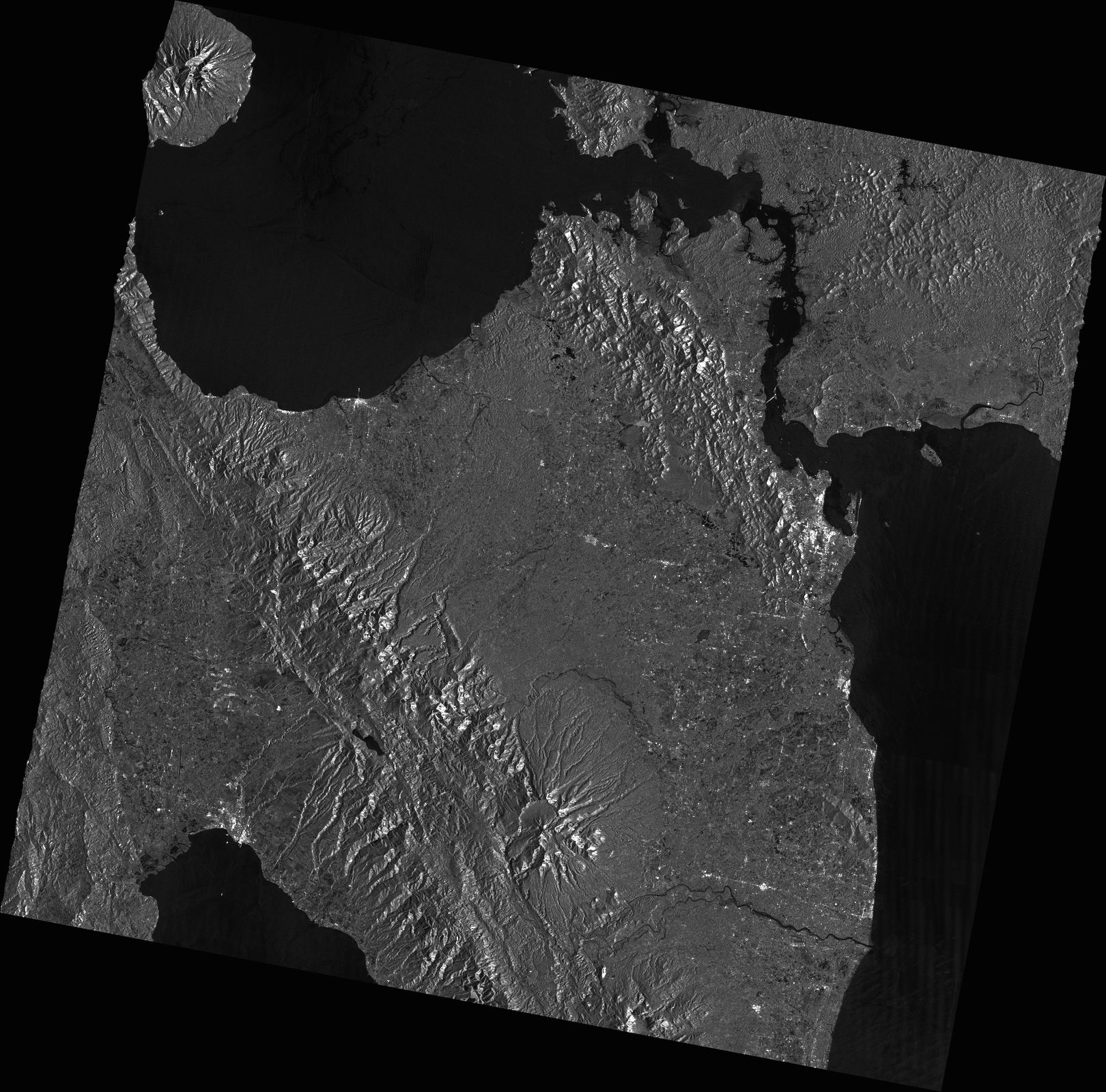
DETECTED WATER IN LEYTE PROVINCE, PHILIPPINES
As observed by ALOS-2 image on 16 April 2022
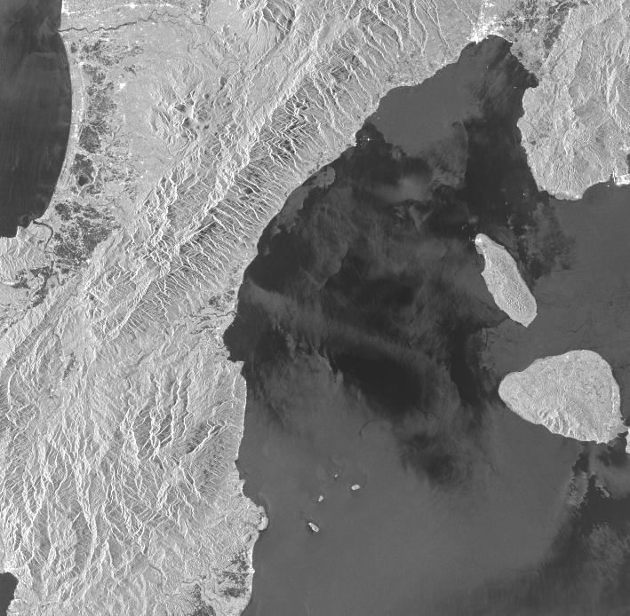
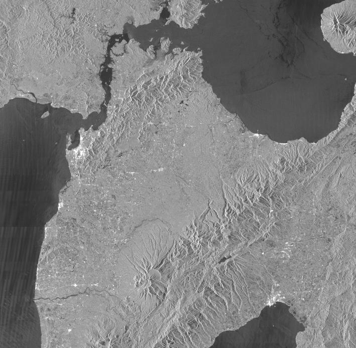
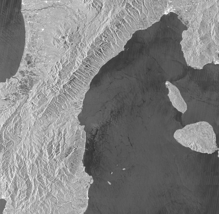
2022-04-16
DETECTED WATER IN LEYTE PROVINCE, PHILIPPINES
As observed by ALOS-2 image on 16 April 2022
MBRSC
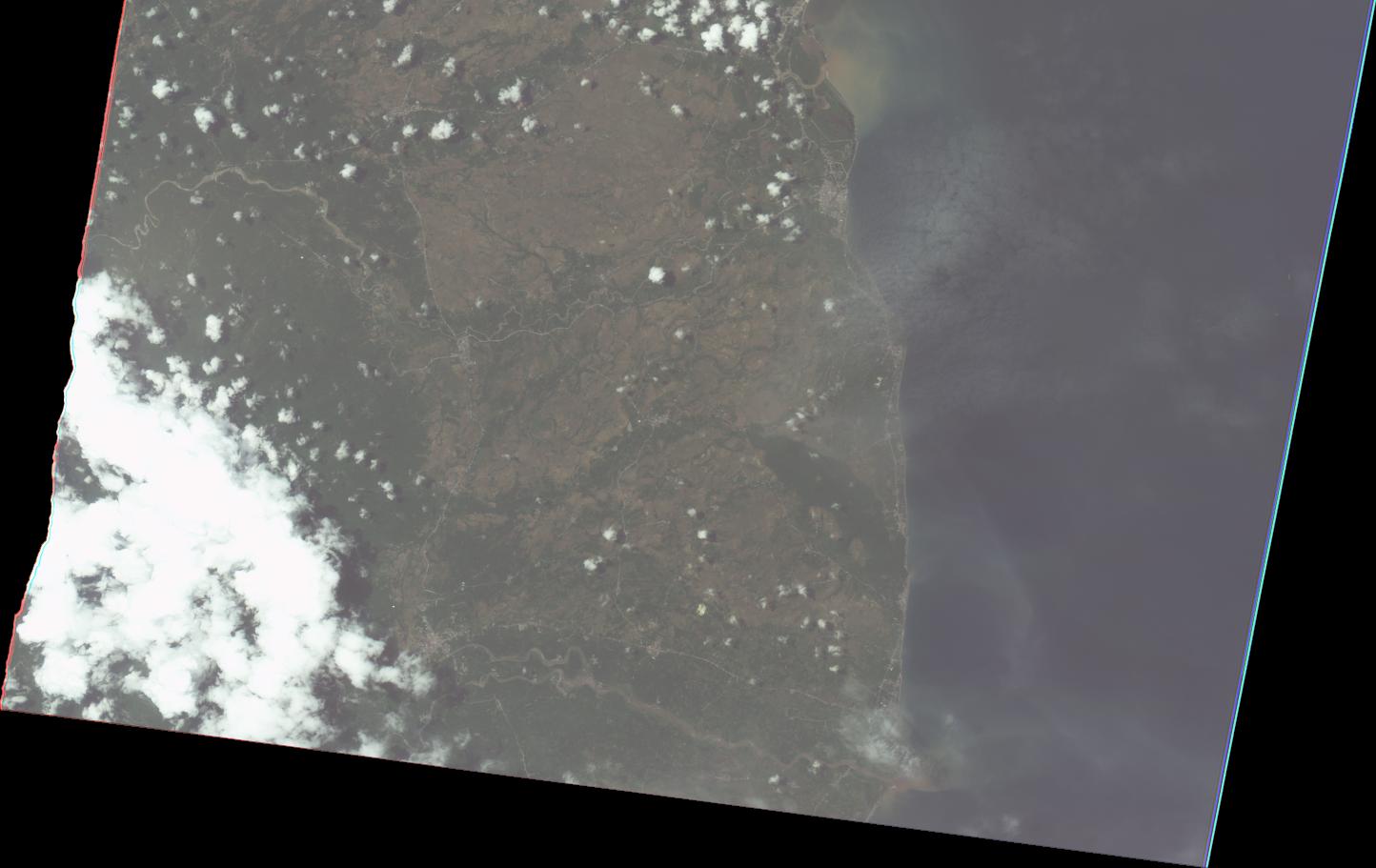
2022-04-16
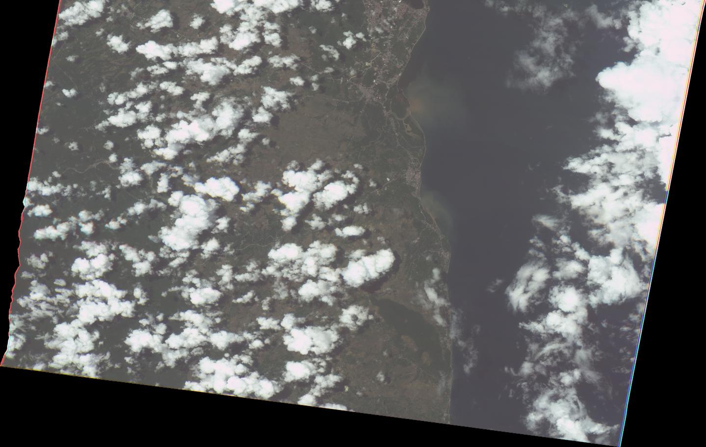
Flood map Omoc City, Leyte-Philippines
As Observed by Sentinel 2
on 16 April,2022
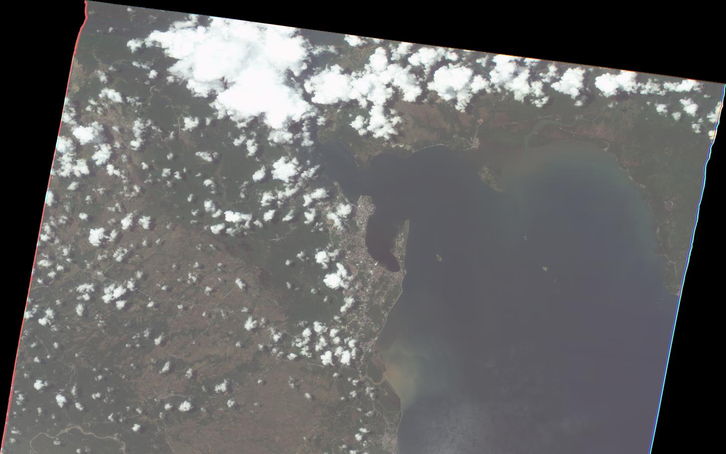
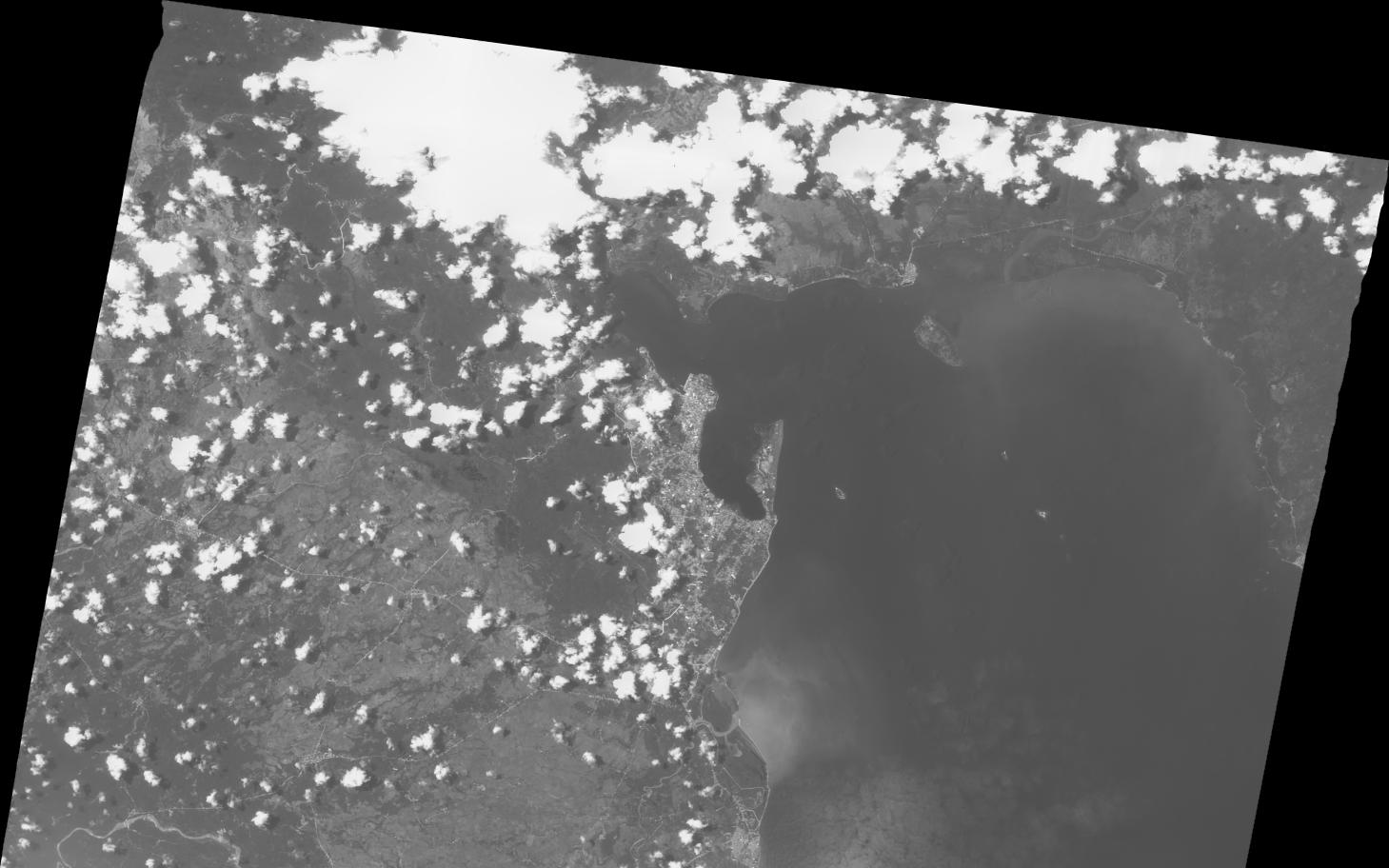
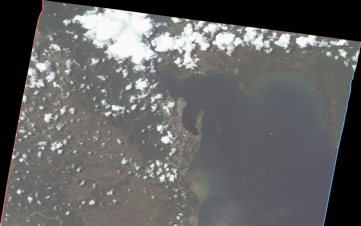
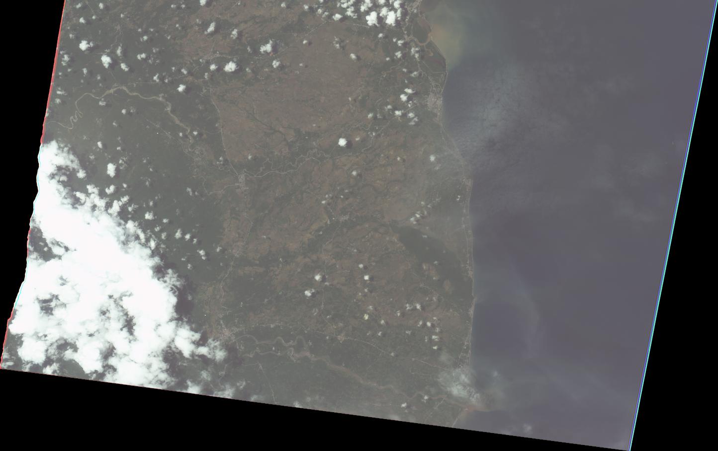
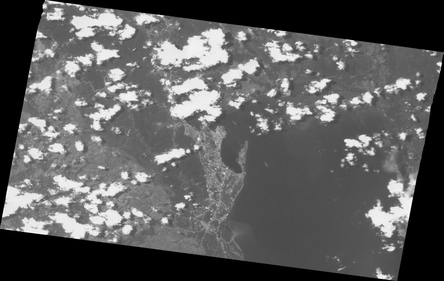
2022-04-16
Flood map Tacloban City, Leyte-Philippines
As Observed by Sentinel 2
on 16 April,2022
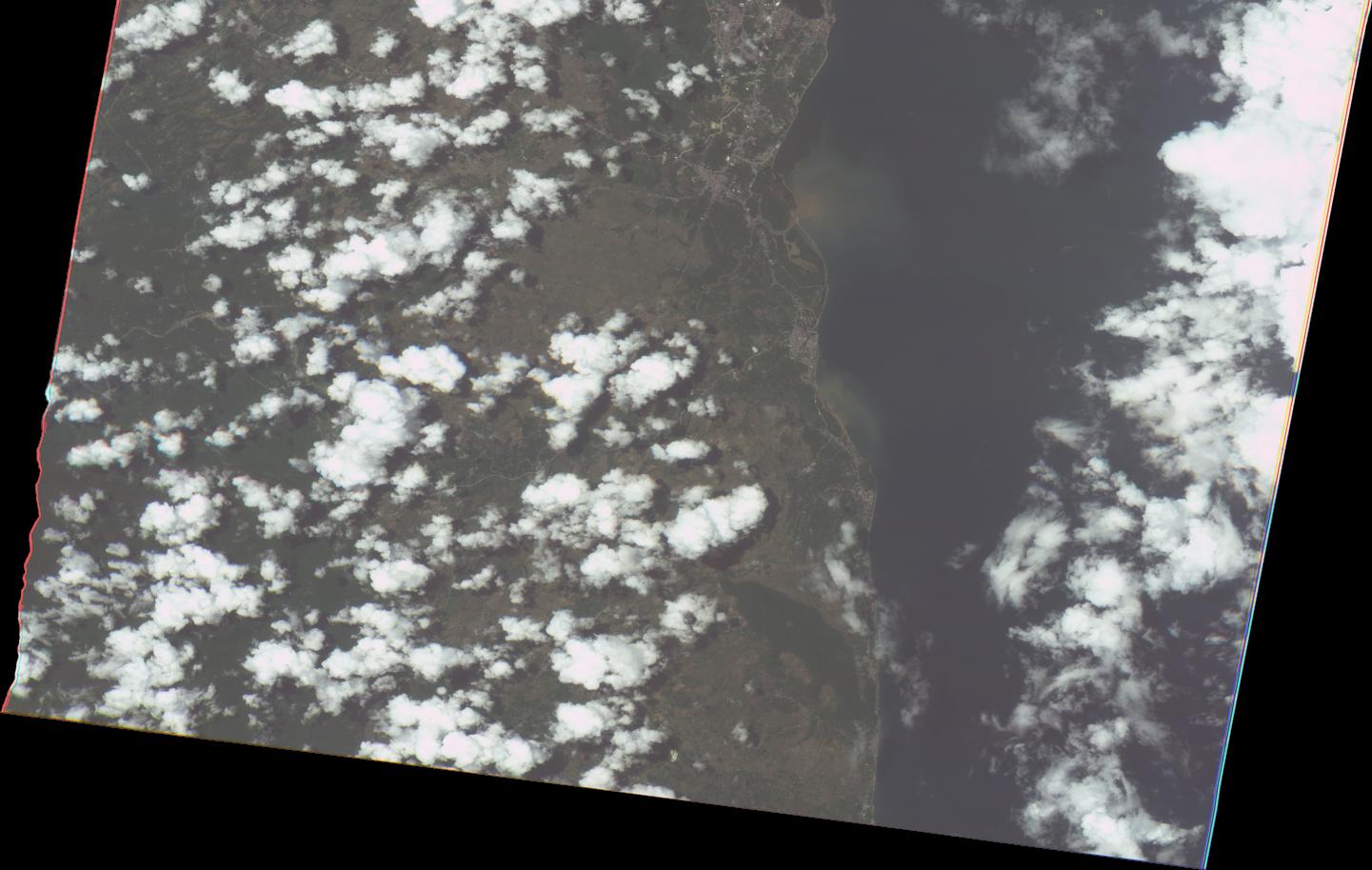
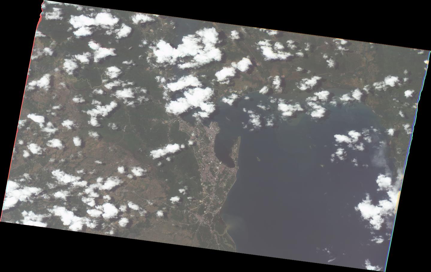
2022-04-16
Flood map Tacloban City, Leyte-Philippines
As Observed by Sentinel 2
on 16 April,2022
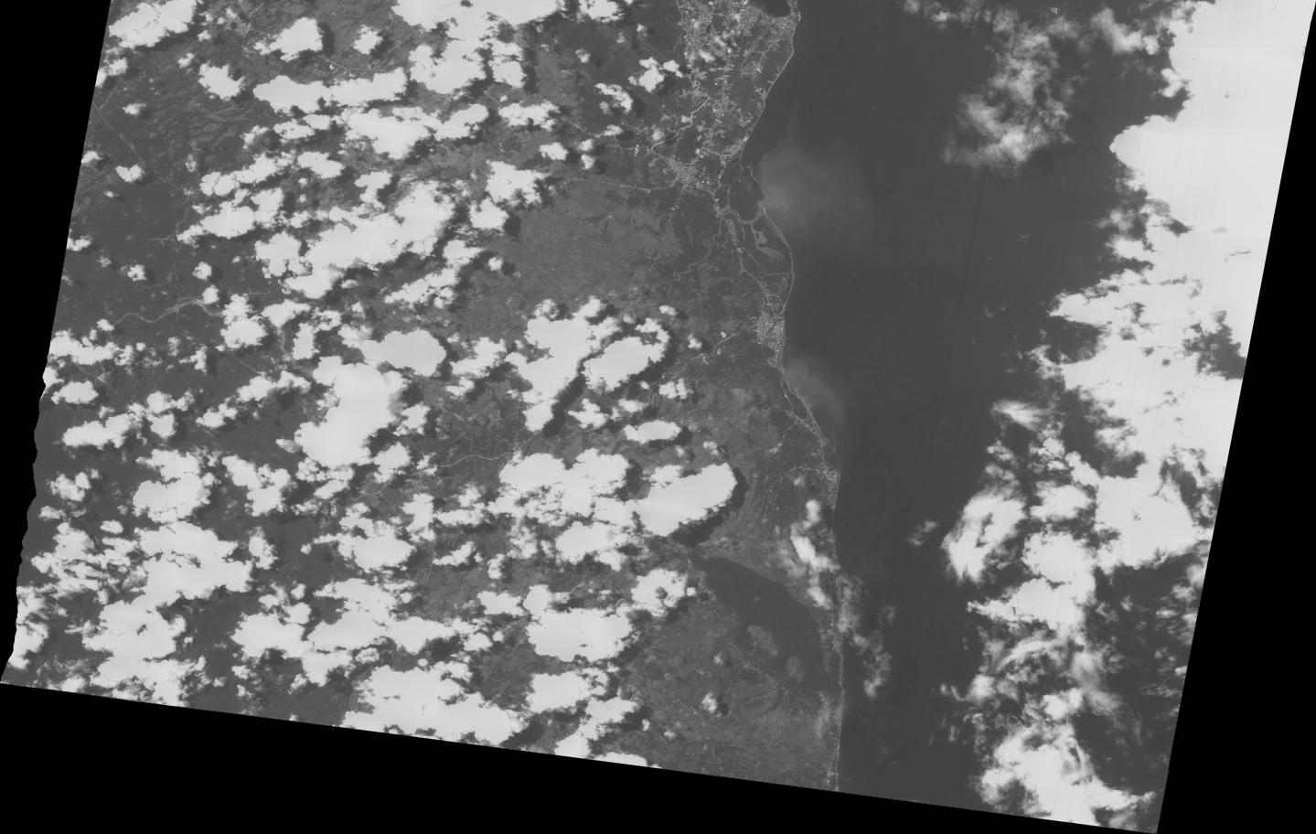
2022-04-16
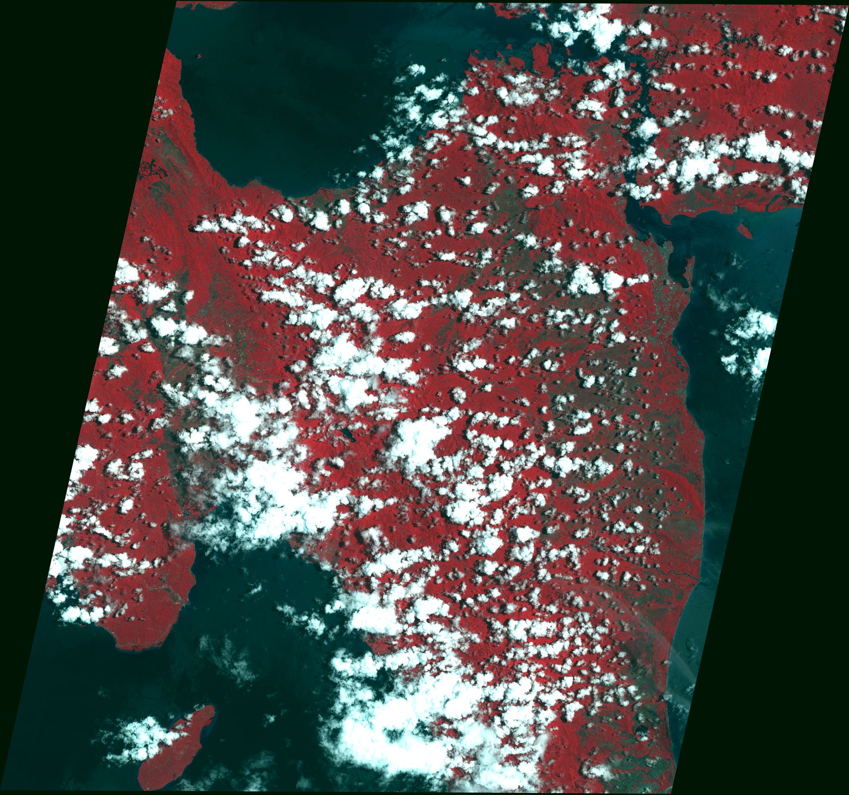
Flood map Omoc, Tacloban, Leyte-Philippines
As Observed by Sentinel 2
on 16 April,2022
EOS
2022-04-20
EOS-RS Flood Proxy Map: Philippines, Tropical Cyclone Agaton (Megi),
Apr 2022, v0.4
2022-04-20
EOS-RS Flood Proxy Map: Philippines, Tropical Cyclone Agaton (Megi),
Apr 2022, v0.4
2022-04-20
EOS-RS Flood Proxy Map: Philippines, Tropical Cyclone Agaton (Megi),
Apr 2022, v0.4
2022-04-20
EOS-RS Flood Proxy Map: Philippines, Tropical Cyclone Agaton (Megi),
Apr 2022, v0.4
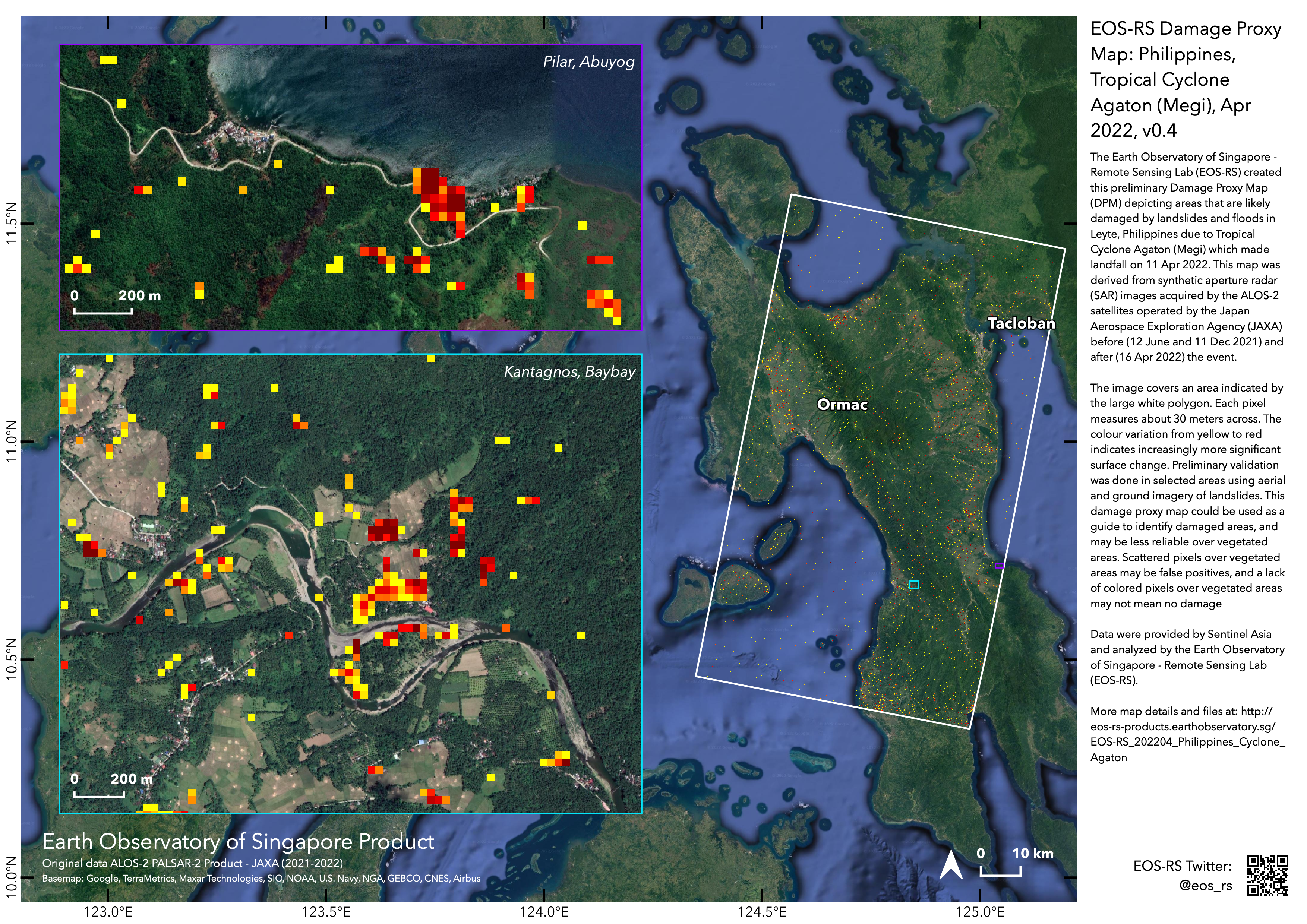
2022-04-20
EOS-RS Damage Proxy Map: Philippines, Tropical Cyclone Agaton (Megi),
Apr 2022, v0.4
2022-04-20
EOS-RS Damage Proxy Map: Philippines, Tropical Cyclone Agaton (Megi),
Apr 2022, v0.4
2022-04-20