2022-09-28 Storm, Flood and Landslide in Vietnam on 28 September, 2022

Emergency Obs. Request Information

  • Disaster Type: Storm, Flood and Landslide
  • Country: Vietnam
  • Occurrence Date (UTC): 28 September, 2022
  • SA activation Date(UTC): 26 September, 2022
  • Requester: Ministry of Natural Resources and Environment (MONRE)
  • Escalation to the International Charter: No
  • GLIDE Number: TC-2022-000318-PHL
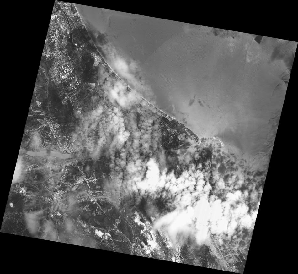
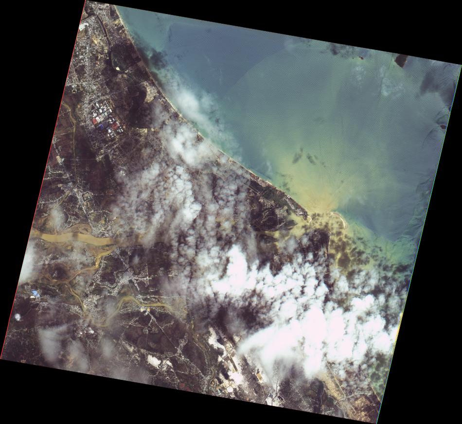
Disaster Situation

https://nchmf.gov.vn/Kttv/vi-VN/1/tin-bao-khan-cap-con-bao-so-04-post29340.html
News about Typhoon Noru, the Japanese radio forecast that the storm will maintain winds of 144 km/h today, and tomorrow, when approaching the shore, it will increase to 162 km/h. Radio Hong Kong said that the storm will make landfall with the strongest wind of 175 km/h. Four localities, including Da Nang, Quang Nam, Quang Ngai, and Binh Dinh, are forecasted to be at risk of natural disasters at level 4 (the highest is level 5 - disaster). The five provinces of Quang Tri, Thua Thien Hue, Phu Yen, Kon Tum and Gia Lai are subject to level 3 risks.

Product

   AIT   

2022-10-01

DETECTED FLOOD WATER IN
QUANG BINH AND TRI PROVINCES, VIETNAM
As observed by ALOS-2 image on 30 September 2022


2022-10-01

DETECTED FLOOD WATER IN
QUANG BINH AND TRI PROVINCES, VIETNAM
As observed by ALOS-2 image on 30 September 2022


2022-10-01

DETECTED FLOOD WATER IN
QUANG BINH AND TRI PROVINCES, VIETNAM
As observed by ALOS-2 image on 30 September 2022


   EOS   

2022-10-03

EOS-RS Flood Proxy Map:
Vietnam, Typhoon Noru,
30 Sep 2022, v0.5


2022-10-03

EOS-RS Flood Proxy Map:
Vietnam, Typhoon Noru,
30 Sep 2022, v0.5


2022-10-03

EOS-RS Flood Proxy Map:
Vietnam, Typhoon Noru,
30 Sep 2022, v0.5


Web GIS

    Sentinel Asia member only.
    The account will be sent to the EOR requester after Web GIS page is prepared.
    If you are interested in to be a member of Sentinel Asia, please contact: z-sentinel.asia@ml.jaxa.jp


  • Storm, Flood and Landslide in Vietnam on 28 September, 2022 see detail

Satellite Image

   Before Disaster   

   JAXA   

2022-09-02

ALOS-2 Level2.1
IMG HH ALOS2 44698/3300 2022/09/02 WBD R 2.1 GUD

   NARL   

2021-09-15

FORMOSAT-5 Level4
FS5 G000 MS L4UTM 2021/09/15 03:53:00

2021-09-15

FORMOSAT-5 Level4
FS5 G000 PAN L4UTM 2021/09/15 03:53:00

2021-09-15

FORMOSAT-5 Level4
FS5 G000 PMS L4UTM 2021/09/15 03:53:00

2021-09-15

FORMOSAT-5 Level4
FS5 G001 MS L4UTM 2021/09/15 03:53:04

2021-09-15

FORMOSAT-5 Level4
FS5 G001 PAN L4UTM 2021/09/15 03:53:04

2021-09-15

FORMOSAT-5 Level4
FS5 G001 PMS L4UTM 2021/09/15 03:53:04

   After Disaster   

   JAXA   

2022-09-30

ALOS-2 Level2.1
IMG HH ALOS2 45112/3300 2022/09/30 WBD R 2.1 GUD

   ISRO   

2022-09-27

Resourcesat-2 AW
Path=126 Row=060
27-SEP-2022 03:25:28

   NARL   

2022-09-30

FORMOSAT-5 Level4
FS5 G000 MS L4UTM 2022/09/30 03:39:37

2022-09-30

FORMOSAT-5 Level4
FS5 G000 PAN L4UTM 2022/09/30 03:39:37

2022-09-30

FORMOSAT-5 Level4
FS5 G000 PMS L4UTM 2022/09/30 03:39:37