2022-10-19
Emergency Obs. Request Information
- Disaster Type: Flood
- Country/Region: Thailand
- Occurrence Date (UTC): 19 October, 2022
- SA activation Date(UTC): 19 October, 2022
- Requester: Geo-Informatics and Space Technology Development Agency (GISTDA)
- Escalation to the International Charter: Yes
- GLIDE Number: FL-2022-000333-THA
Disaster Situation
Flooding continues to affect in many areas of Thailand, especially in the Northeastern and Central part of Thailand, since mid September 2022 until now.
https://floodlist.com/asia/vietnam-thailand-typhoon-noru-september-2022
https://floodlist.com/asia/thailand-floods-october-2022
https://www.thaipbsworld.com/flooding-in-thailands-northeast-is-expected-to-improve-next-month/
https://www.thaipbsworld.com/irrigation-road-collapses-sending-floodwater-into-three-districts-of-ayutthaya/
Product
AIT
2022-10-22
DETECTED WATER IN CENTRAL AND NORTHEANSTERN REGIONS, THAILAND
As observed by ALOS-2 image on 15 October 2022
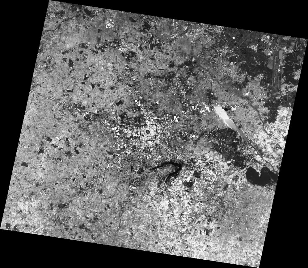
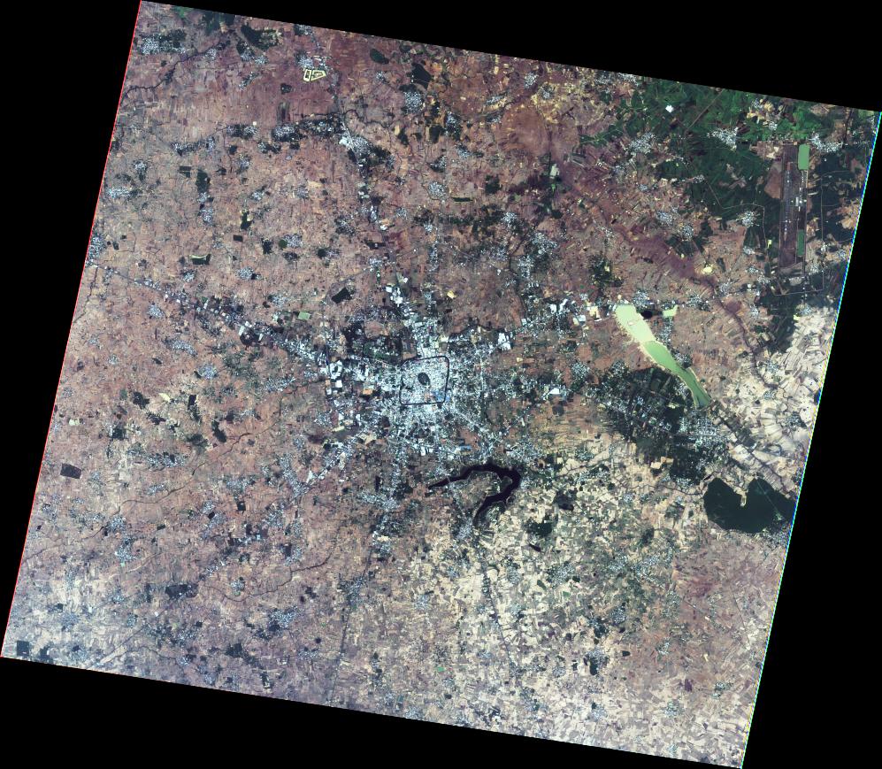
2022-10-22
DETECTED WATER IN CENTRAL AND NORTHEANSTERN REGIONS, THAILAND
As observed by ALOS-2 image on 15 October 2022
2022-10-22
DETECTED WATER IN CENTRAL AND NORTHEANSTERN REGIONS, THAILAND
As observed by ALOS-2 image on 15 October 2022
2022-10-26
DETECTED FLOOD WATER IN
CENTRAL REGION,
THAILAND
As observed by Sentinel-1 image on 23 October 2022
2022-10-26
DETECTED FLOOD WATER IN
CENTRAL REGION,
THAILAND
As observed by Sentinel-1 image on 23 October 2022
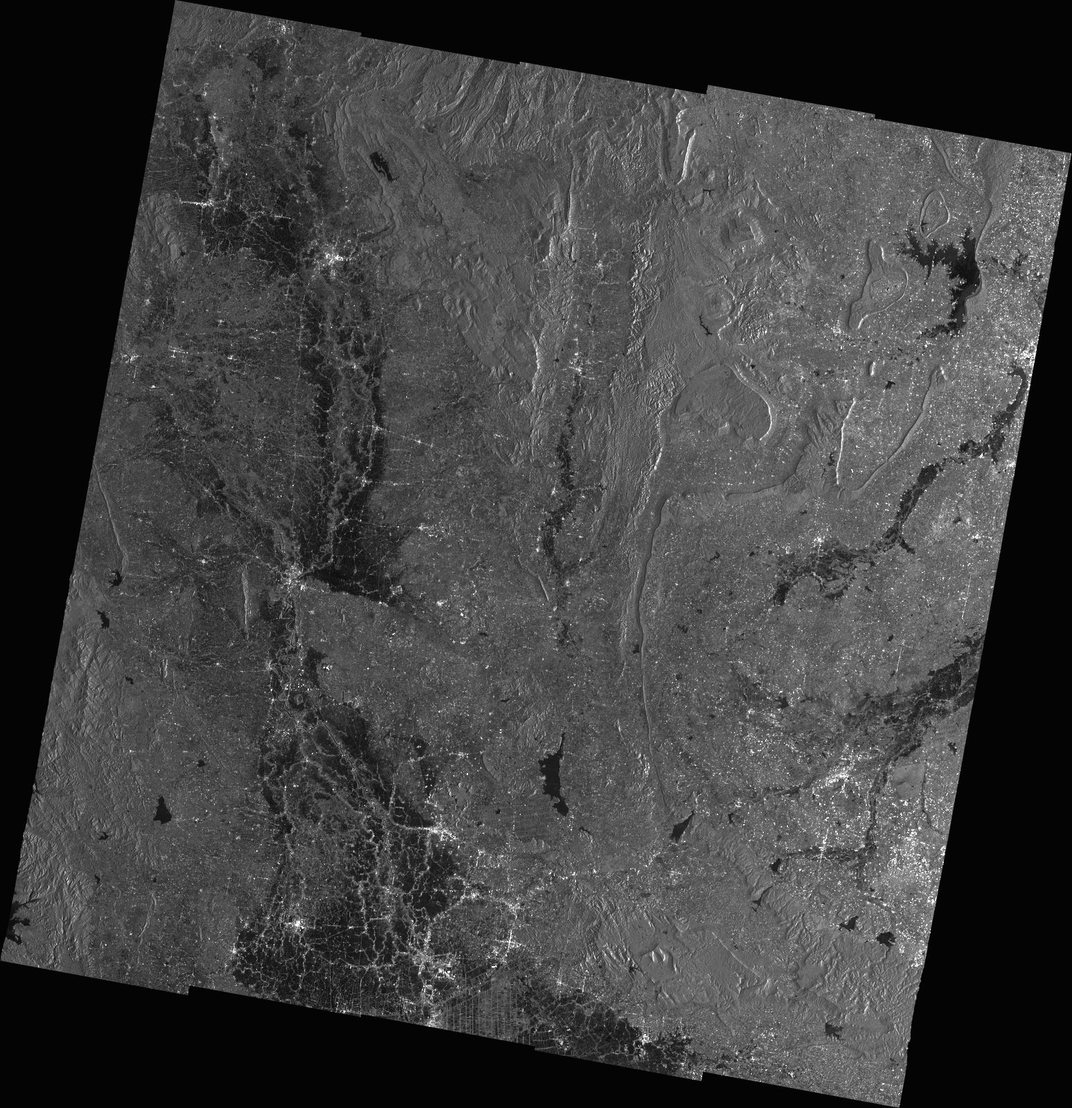
2022-10-26
DETECTED WATER IN
CENTRAL REGION,
THAILAND
As observed by TanDEM-X image on 23 October 2022
2022-10-26
DETECTED WATER IN
CENTRAL REGION,
THAILAND
As observed by TanDEM-X image on 23 October 2022
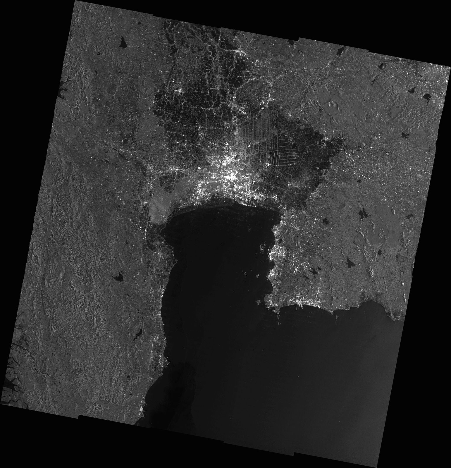
2022-10-26
DETECTED WATER IN
NORTHEASTERN REGION,
THAILAND
As observed by TerraSAR-X image on 24 October 2022
2022-10-26
DETECTED WATER IN
NORTHEASTERN REGION,
THAILAND
As observed by TerraSAR-X image on 24 October 2022
NARL
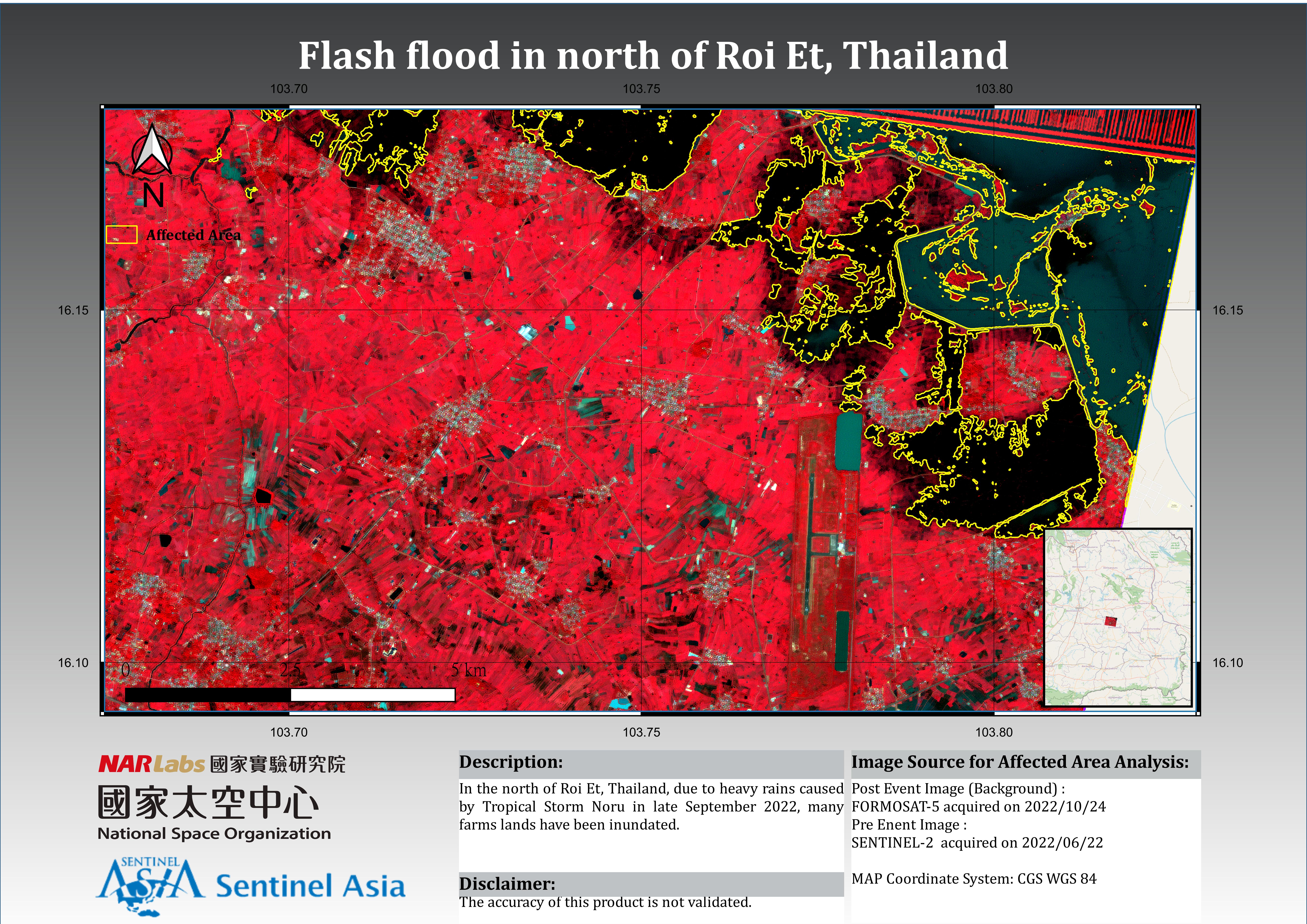
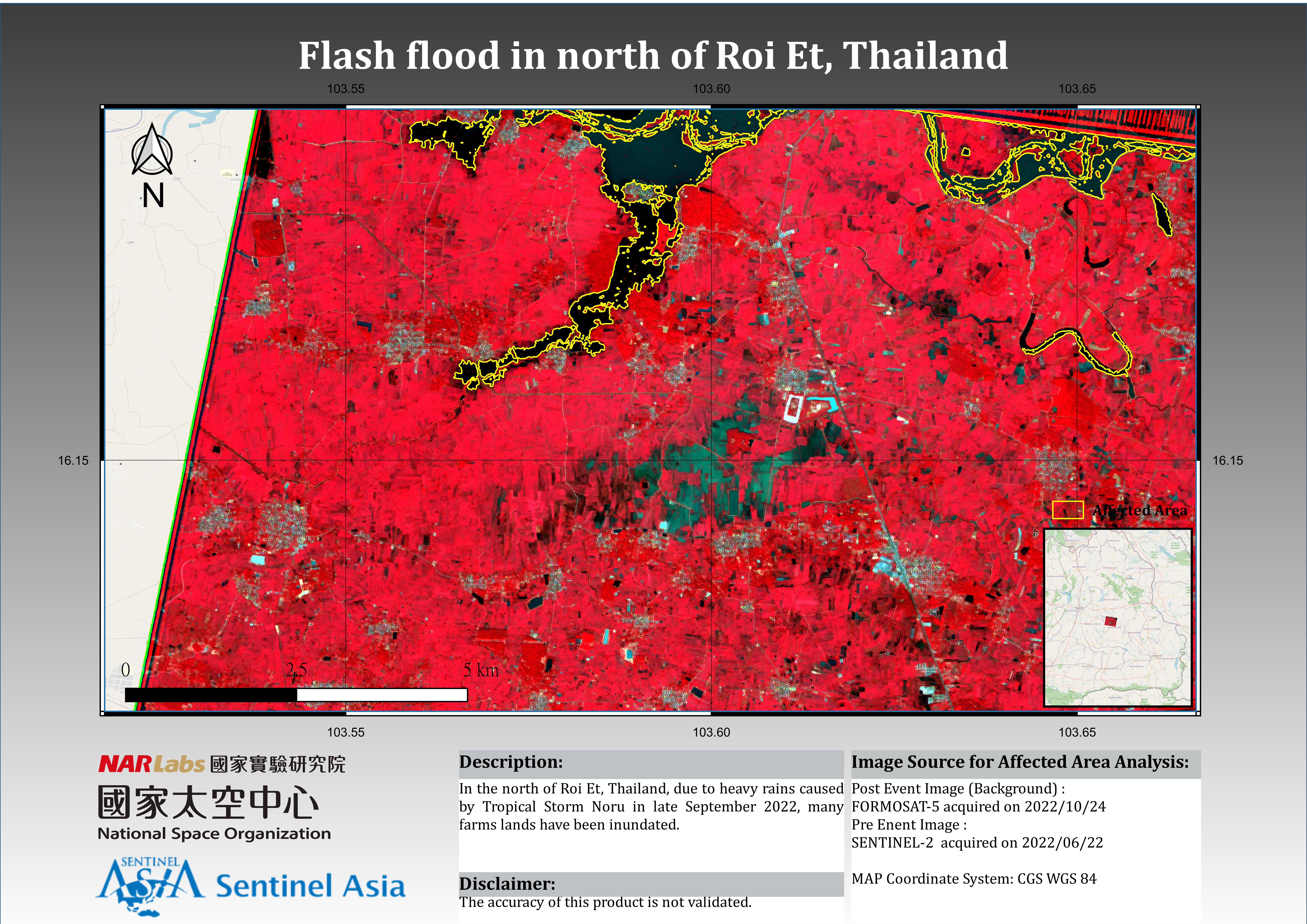
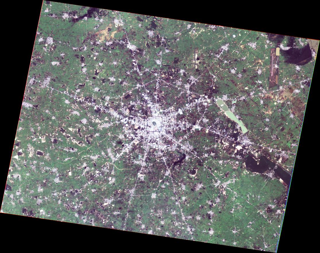
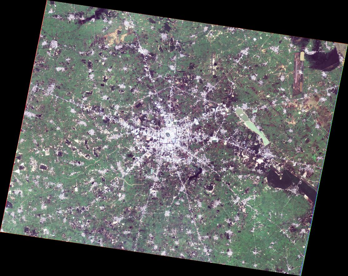
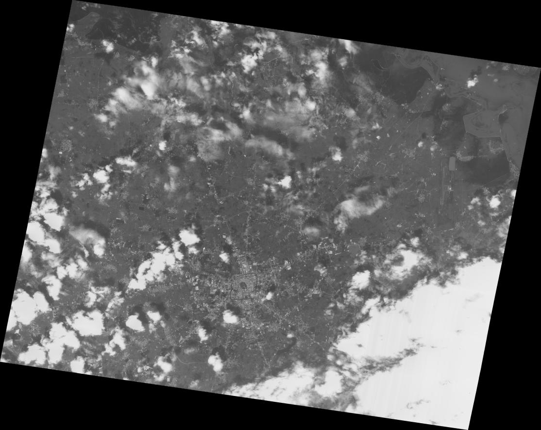
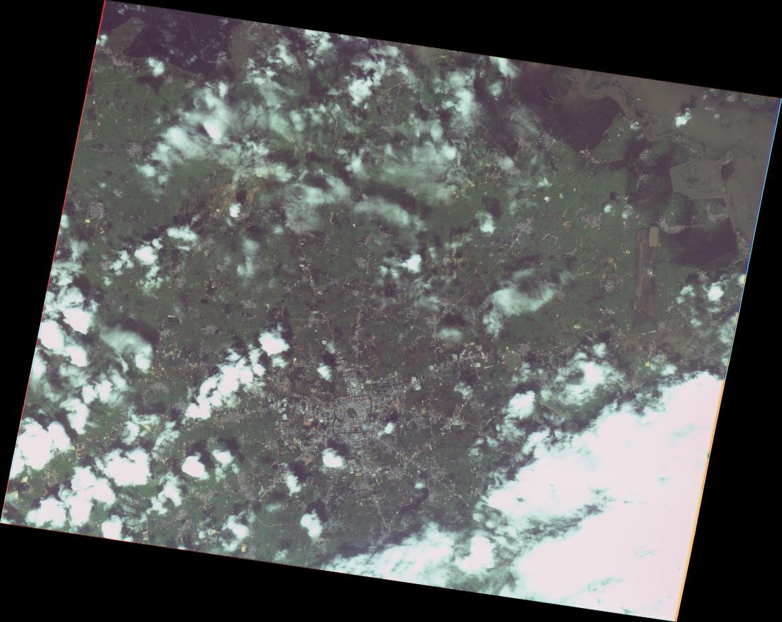
2022-10-26
Flash Flood in north of Roi Et, Thailand
As observed by FORMOSAT-5 image on 24 October 2022
2022-10-26
Flash Flood in north of Roi Et, Thailand
As observed by FORMOSAT-5 image on 24 October 2022
2022-10-26