2023-10-30
Emergency Obs. Request Information
- Disaster Type: Flood, Landslide and Storm
- Country/Region: Vietnam
- Occurrence Date (UTC): 30 October, 2023
- SA activation Date(UTC): 31 October, 2023
- Requester: Ministry of Natural Resources and Environment (MONRE)
- Escalation to the International Charter: No
- GLIDE Number: FL-2023-000213-VNM
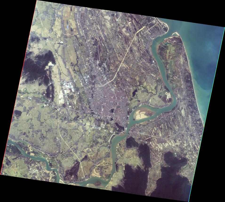
Disaster Situation
https://vnexpress.net/ha-tinh-mua-lon-lu-dang-cao-4670981.html
From the evening of October 29 to October 30, many localities in Ha Tinh had moderate to heavy rain, with some places having very heavy rain due to the influence of cold air. Prolonged heavy rain causes water levels in many rivers, streams, lakes, and dams to rise. In Ha Tinh province, heavy rain in recent days has caused many areas to be deeply flooded, and many arterial traffic routes have seriously eroded and left two people missing.
Product
JAXA
AIT
2023-11-13
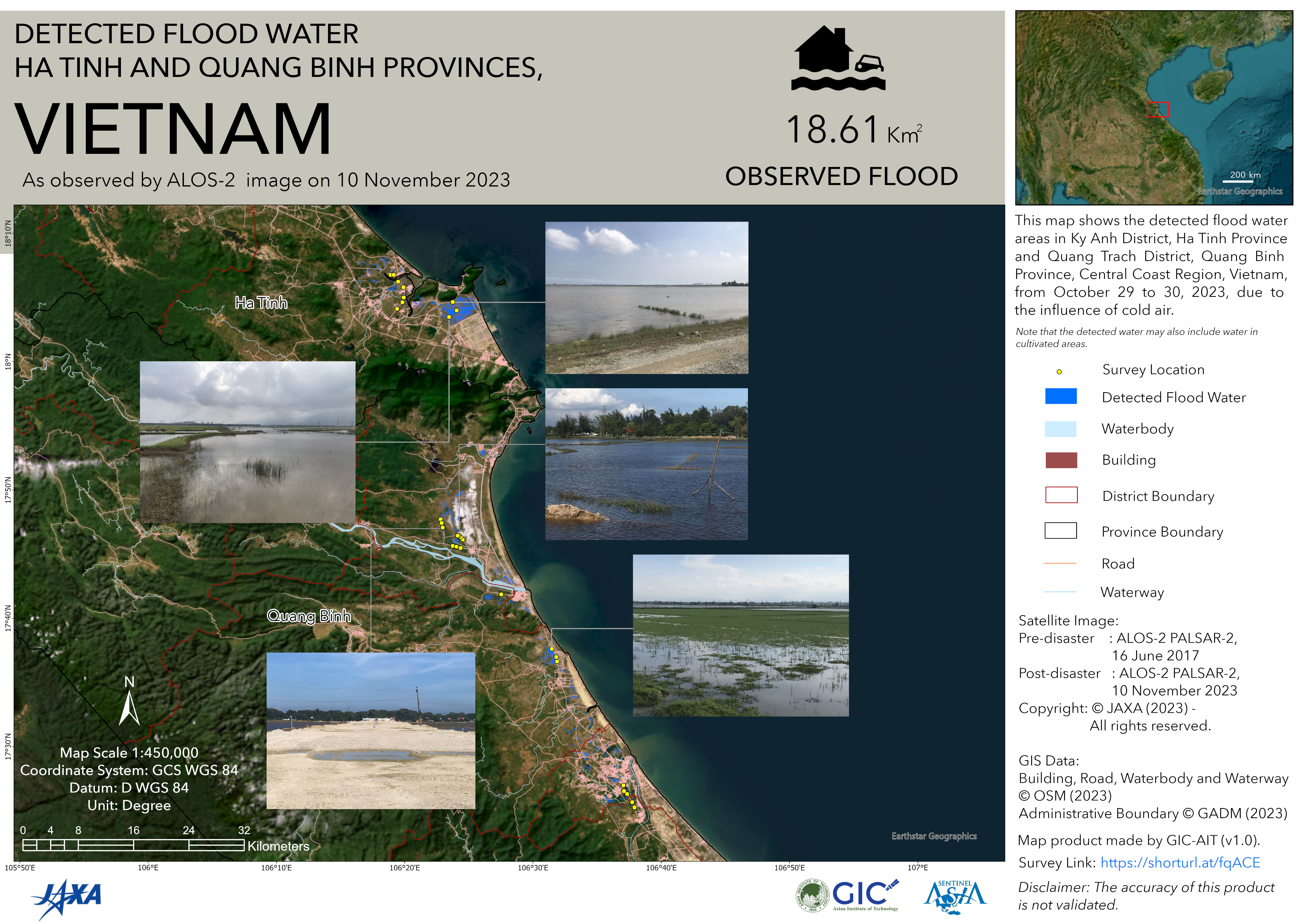
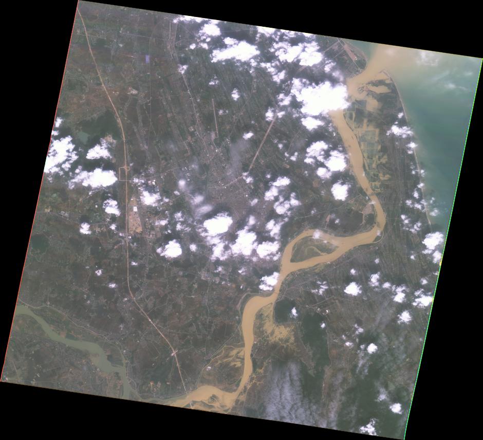
DETECTED FLOOD WATER HA TINH AND QUANG BINH PROVINCES, VIETNAM
As observed by ALOS-2 image on 10 November 2023
2023-11-13
DETECTED FLOOD WATER HA TINH AND QUANG BINH PROVINCES, VIETNAM
As observed by ALOS-2 image on 10 November 2023
MBRSC
2023-11-22
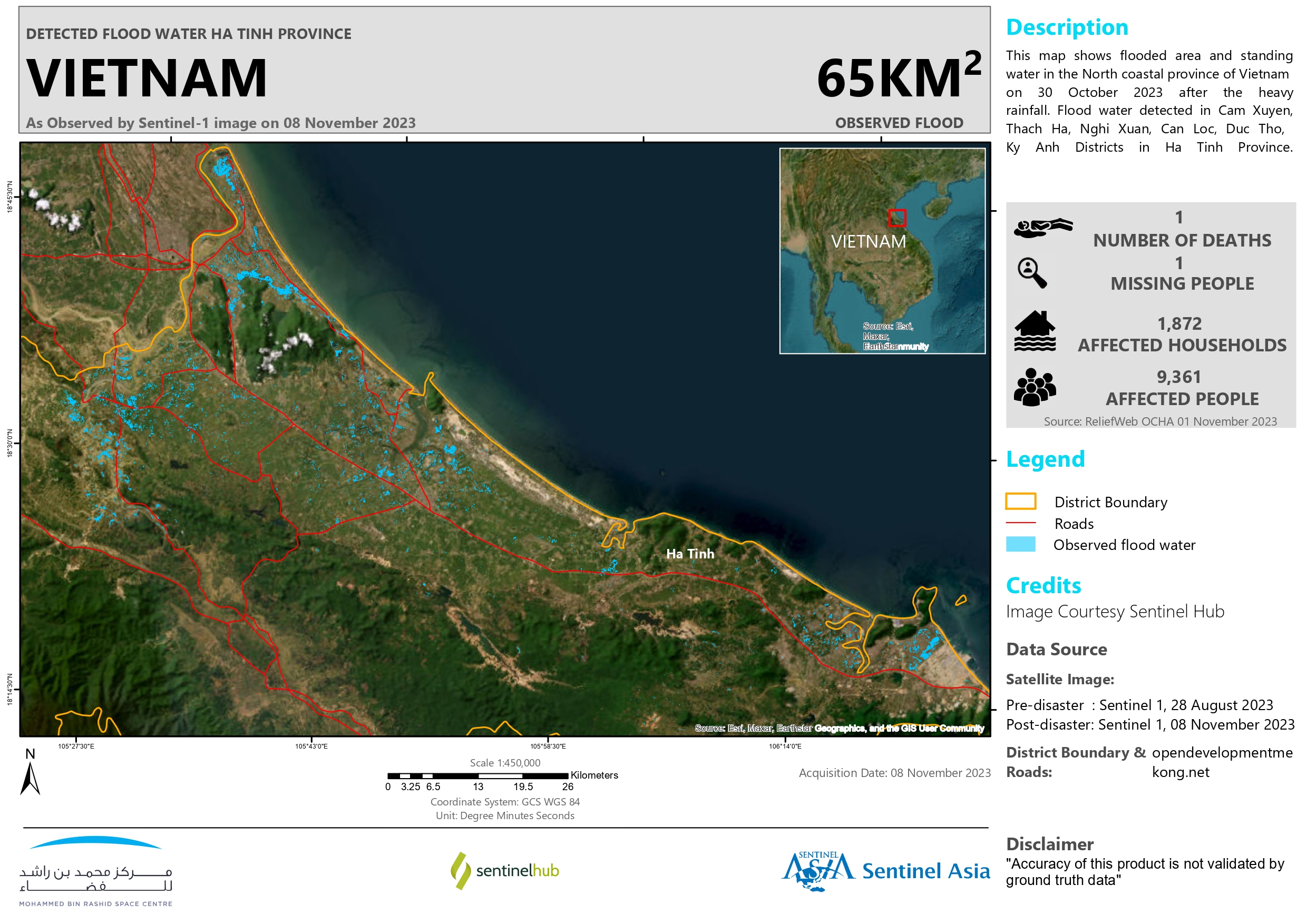
DETECTED FLOOD WATER HA TINH PROVINCE, VIETNAM
As Observed by Sentinel-1 image on 08 November 2023
2023-11-22