2024-07-14
Emergency Obs. Request Information
- Disaster Type: Flood, Landslide and Storm
- Country/Region: Vietnam
- Occurrence Date (UTC): 14 July, 2024
- SA activation Date(UTC): 15 July, 2024
- Requester: Ministry of Natural Resources and Environment (MONRE)
- Escalation to the International Charter: No
- GLIDE Number: FL-2024-000111-VNM
Disaster Situation
https://vnexpress.net/mua-tu-khuya-toi-sang-phu-quoc-ngap-thanh-song-4769814.html
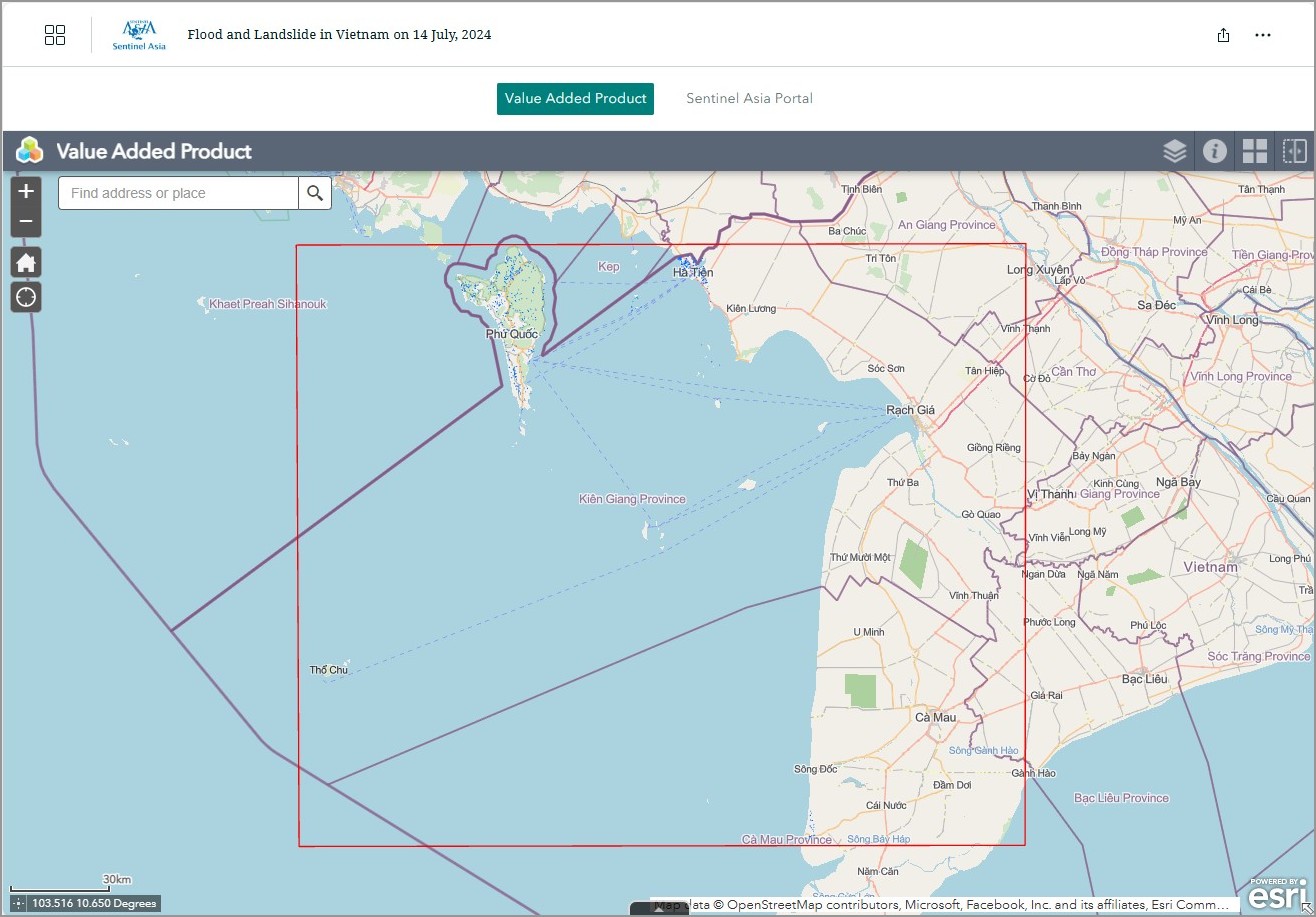
According to Kien Giang Hydrometeorological Station (Vietnam), tropical depression in the East Sea causes rain in many areas in the province. Particularly in Phu Quoc on the morning of July 14, 2024, it rained very heavily, with a common water volume of 100-120 mm. The heavy rain lasted from July 14, 2024 to the morning of July 15, 2024, causing heavy flooding in Phu Quoc city.
Web GIS
-
Flood and Landslide in Vietnam on 14 July, 2024 see detail
-

EOR requesters-only Web-GIS site (with satellite imagery)
see detail
The account will be sent to the EOR requester after Web GIS page is prepared.
If you are interested in to be a member of Sentinel Asia, please contact: z-sentinel.asia@ml.jaxa.jp
Product
MBRSC
2024-07-22
DETECTED FLOOD WATER IN PHU QUOC ISLAND, VIETNAM
As Observed by Sentinel-1 image on 15 July 2024
2024-07-22
DETECTED FLOOD WATER IN PHU QUOC ISLAND, VIETNAM
As Observed by Sentinel-1 image on 15 July 2024
AIT
2024-07-25
DETECTED FLOOD WATER IN PHU QUOC ISLAND, VIETNAM
As observed by ALOS-2 images on 24 July 2024
2024-07-25