2024-10-25
Emergency Obs. Request Information
- Disaster Type: Storm
- Country/Region: India
- Occurrence Date (UTC): 25 October, 2024
- SA activation Date(UTC): 24 October, 2024
- Requester: Indian Space Research Organisation (ISRO)
- Escalation to the International Charter: No
- GLIDE Number: TC-2024-000194-IND
Disaster Situation
West Bengal and Odisha are bracing for the impending landfall of Cyclone Dana, which formed over east-central Bay of Bengal on Wednesday. The storm is expected to intensify further into a severe cyclonic storm northwest of the Bay of Bengal and make landfall between Bhitarkanika National Park and Dhamra Port in Odisha early Friday, according to the India Meteorological Department.
According to the IMD, the cyclonic storm is set to bring heavy rainfall to several districts of southern West Bengal, including Kolkata.
Isolated places in North and South 24 Parganas, Purba and Paschim Medinipur, Jhargram, Kolkata, Howrah and Hooghly are among the districts that are expected to receive heavy to very heavy rainfall on Thursday and Friday.
Link: https://news.abplive.com/cities/cyclone-dana-updates-kolkata-airport-to-suspend-flight-operations-3-lakh-people-evacuated-in-odisha-1726489
Web GIS
-
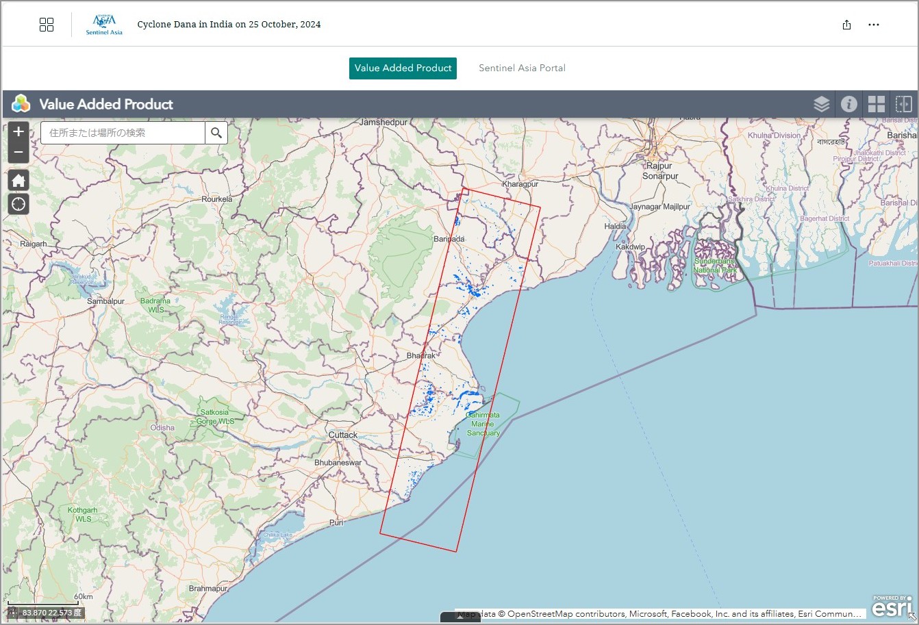
Cyclone Dana in India on 25 October, 2024 see detail
-

EOR requesters-only Web-GIS site (with satellite imagery)
see detail
The account will be sent to the EOR requester after Web GIS page is prepared.
If you are interested in to be a member of Sentinel Asia, please contact: z-sentinel.asia@ml.jaxa.jp