2026-05-01
Emergency Obs. Request Information
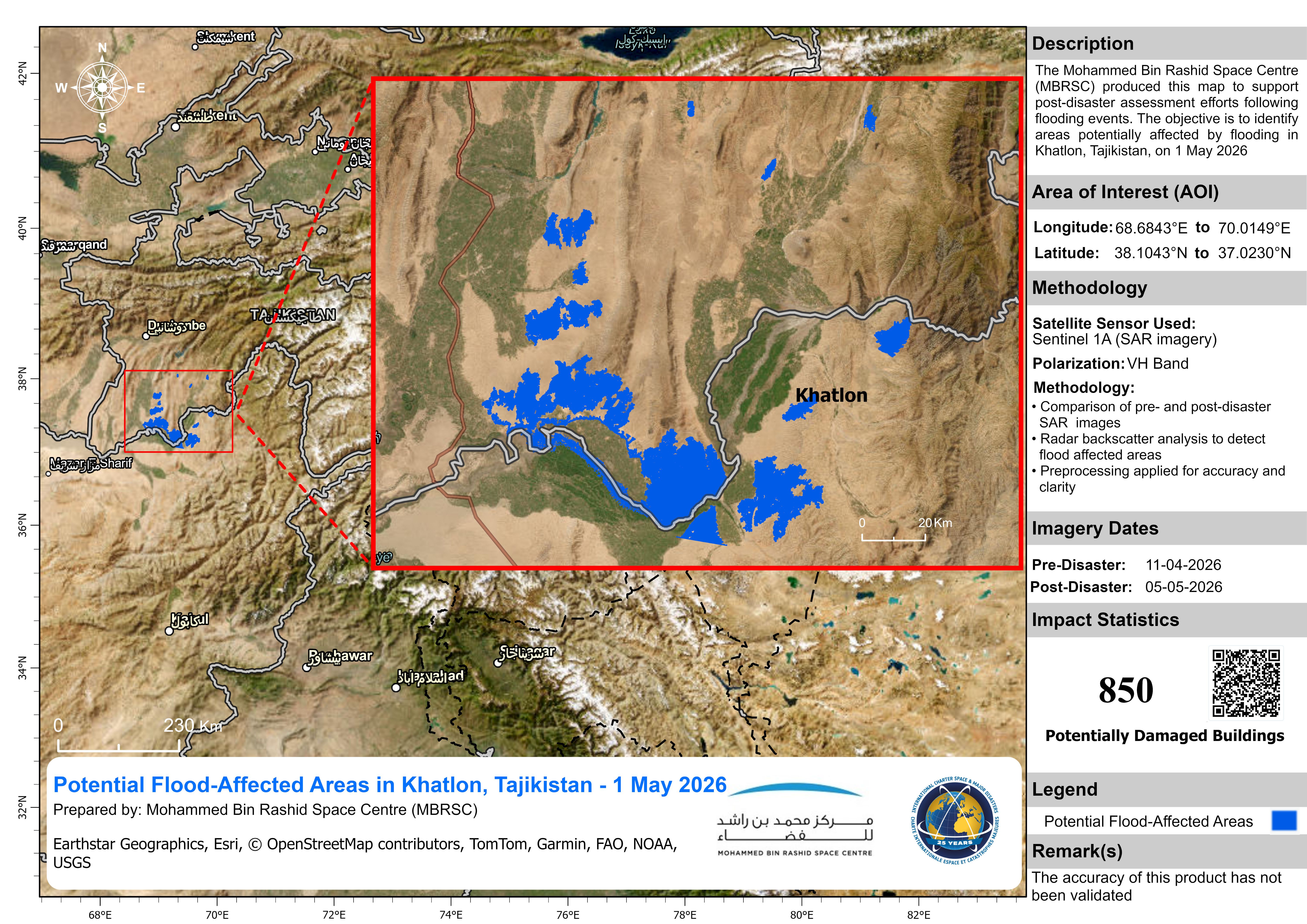
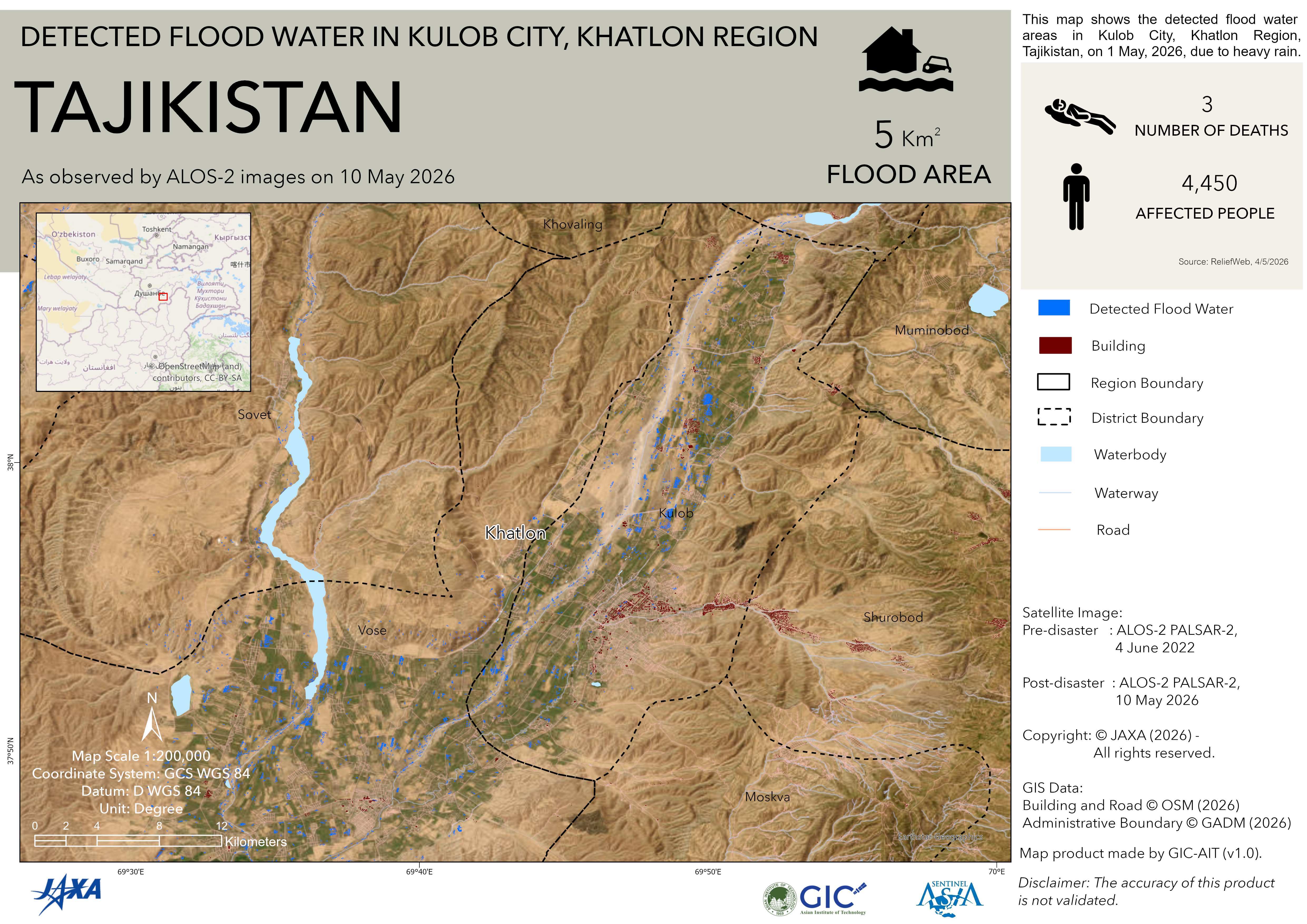
- Disaster Type: Flood and Landslide
- Country/Region: Tajikistan
- Occurrence Date (UTC): 01 May, 2026
- SA activation Date(UTC): 07 May, 2026
- Requester: Central Asian Institute of Applied Geosciences (CAIAG)
- Escalation to the International Charter: No
- GLIDE Number: FL-2026-000067-TJK
Disaster Situation
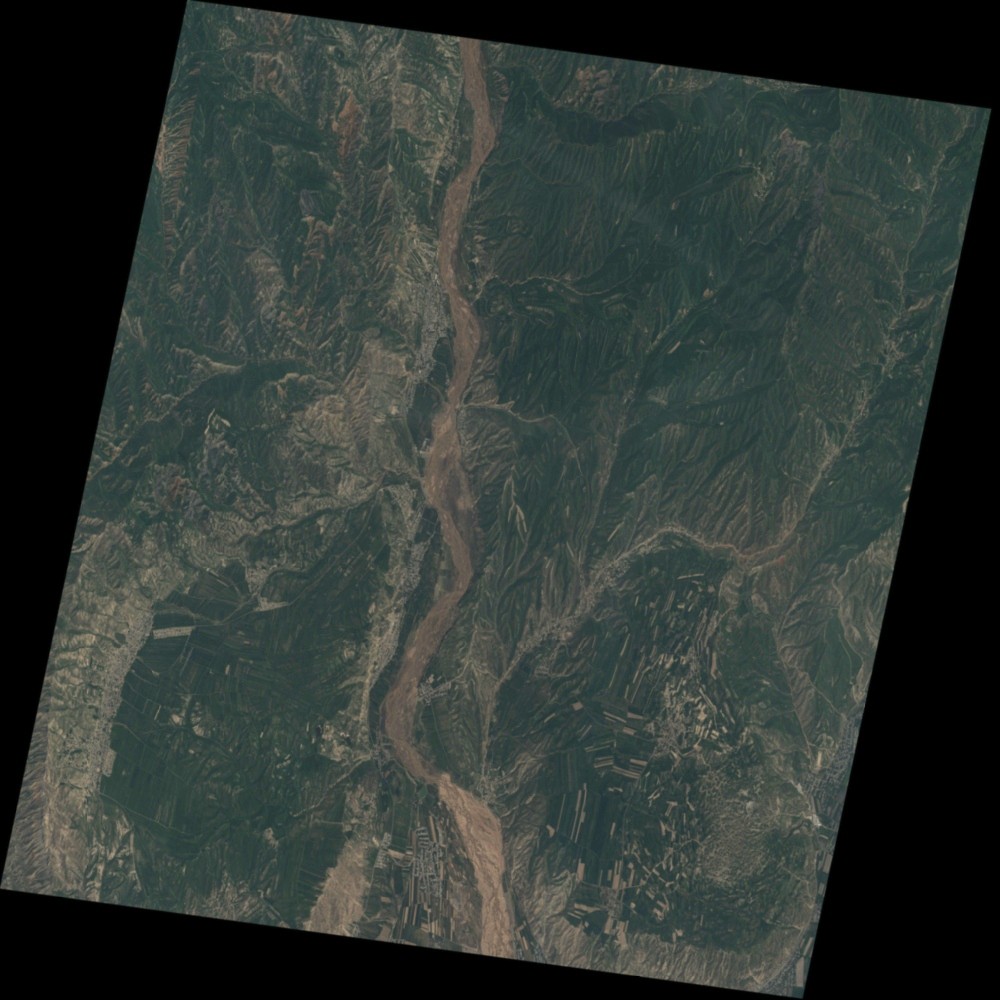
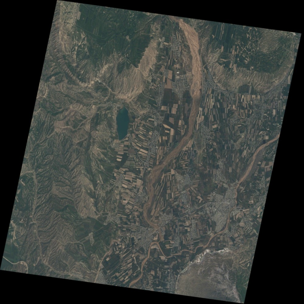
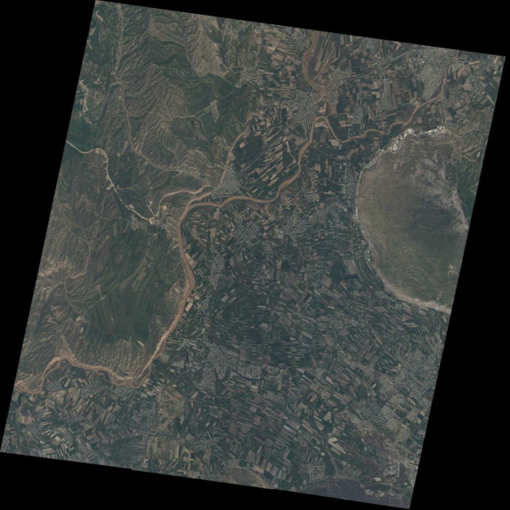
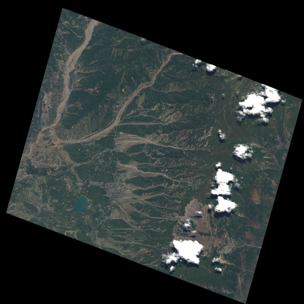
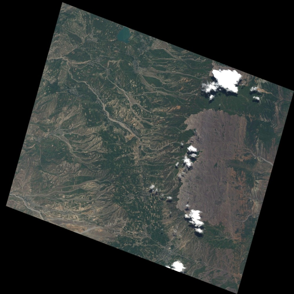
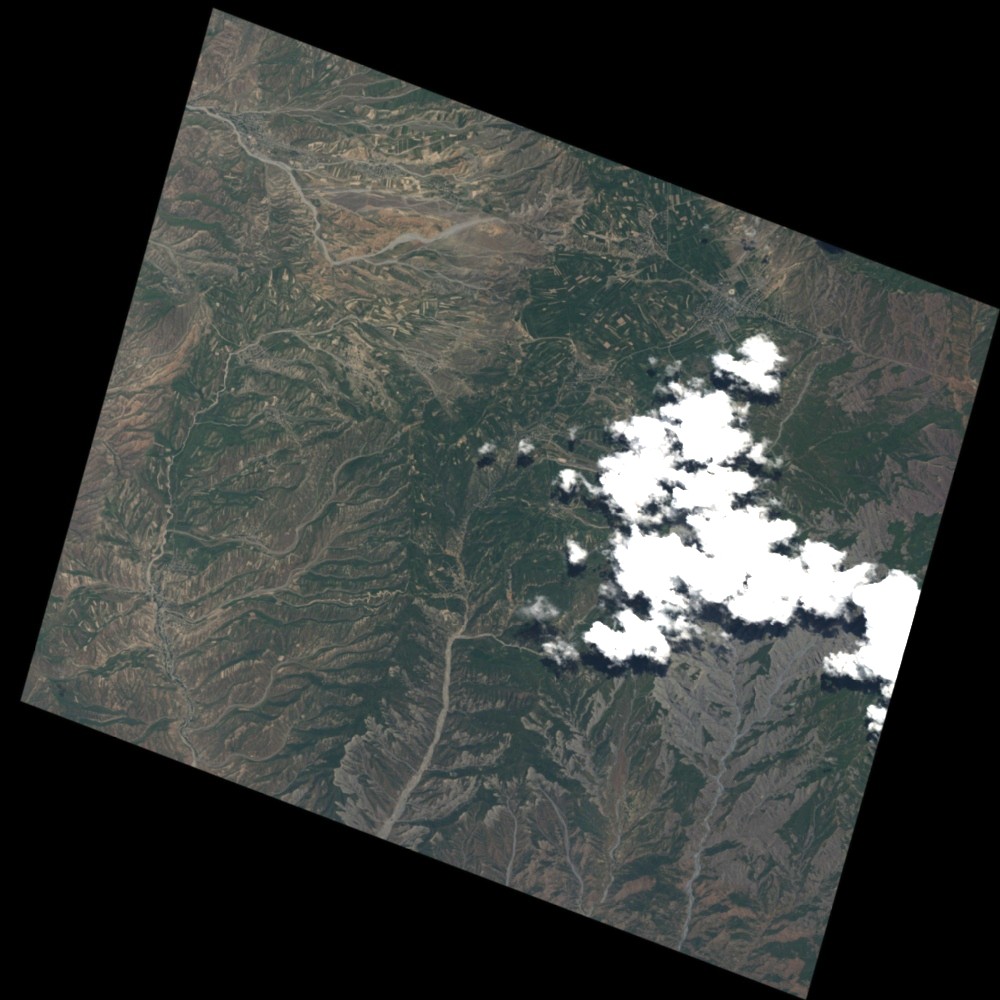
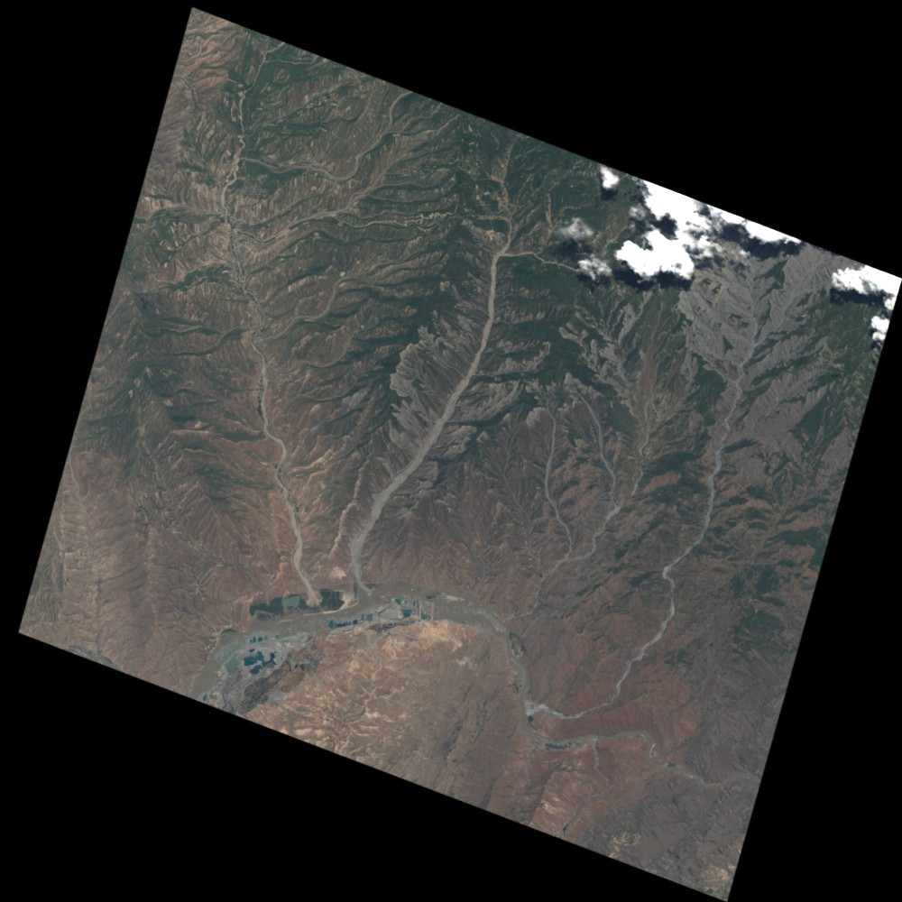
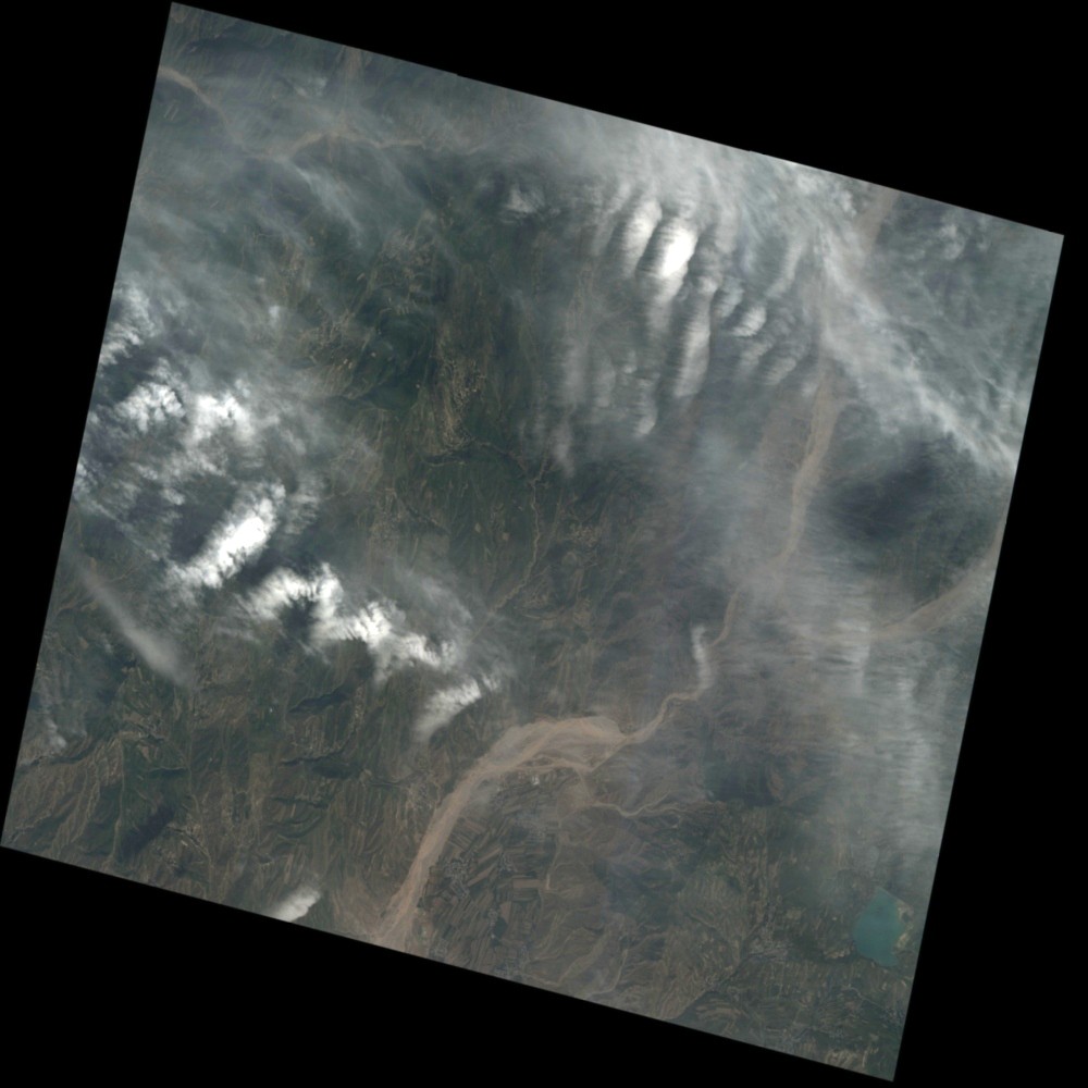
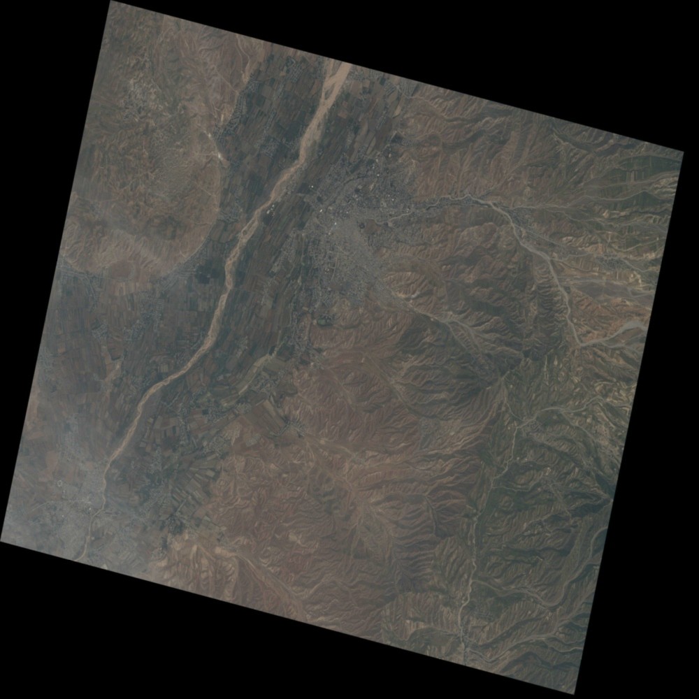
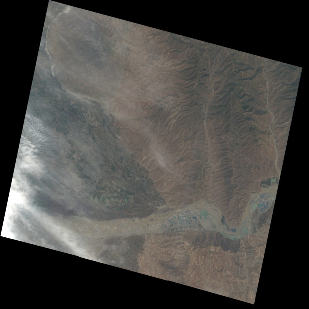
4 people died in a mudflow in Kulyab, Khatlon region, Tajikistan.
https://avesta.tj/2026/05/02/tri-cheloveka-pogibli-pri-navodnenii-v-kulyabe/
https://caravan-info.pro/stihija-v-kuljabe-zhertvy-razrushenija-i-rezhim-jekstrennogo-reagirovanija/
https://t-news.tj/novosti/tri-cheloveka-pogibli-pri-navodnenii-v-kyliabe
https://cronos.asia/breaking-news/kulyab-batkent-vosstanovili-elektrosnabzhenie-sel
https://sugdpressa.tj/2026/05/02/v-kulyabe-iz-za-stihii-pogibli-tri-cheloveka/
https://www.for.kg/news-915507-ru.html#google_vignette
Video link:
https://www.youtube.com/watch?v=BukebBgfp5E
https://vk.com/wall-213221748_53457
Web GIS
-
Flood and Landslide in Tajikistan on 01 May, 2026 see detail
-
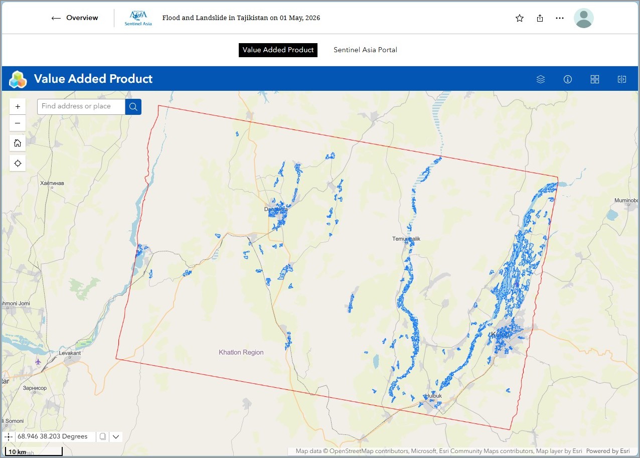
EOR requesters-only Web-GIS site (with satellite imagery)
see detail
The account will be sent to the EOR requester after Web GIS page is prepared.
If you are interested in to be a member of Sentinel Asia, please contact: z-sentinel.asia@ml.jaxa.jp