2026-05-04
Emergency Obs. Request Information
- Disaster Type: Flood
- Country/Region: Kyrgyzstan
- Occurrence Date (UTC): 04 May, 2026
- SA activation Date(UTC): 07 May, 2026
- Requester: Central Asian Institute of Applied Geosciences (CAIAG)
- Escalation to the International Charter: No
- GLIDE Number: FL-2026-000066-KGZ
Disaster Situation
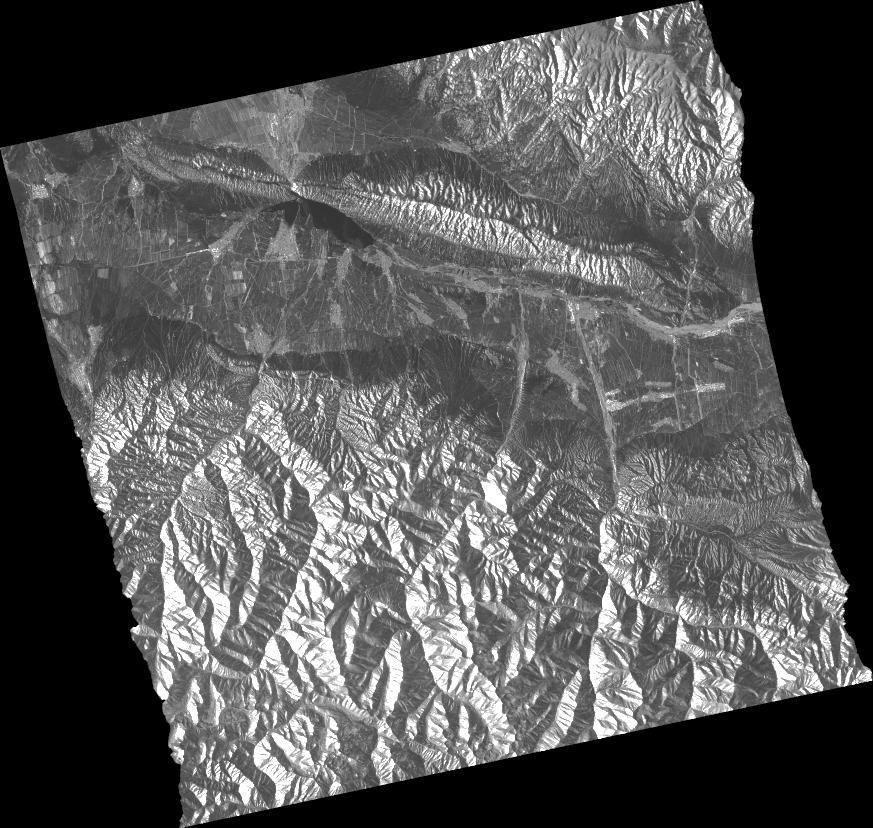
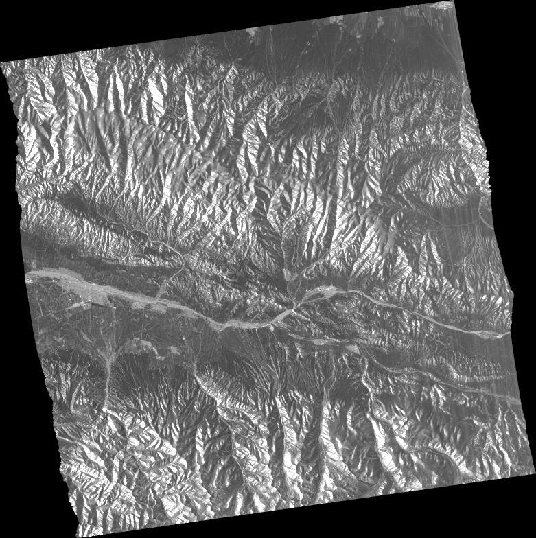
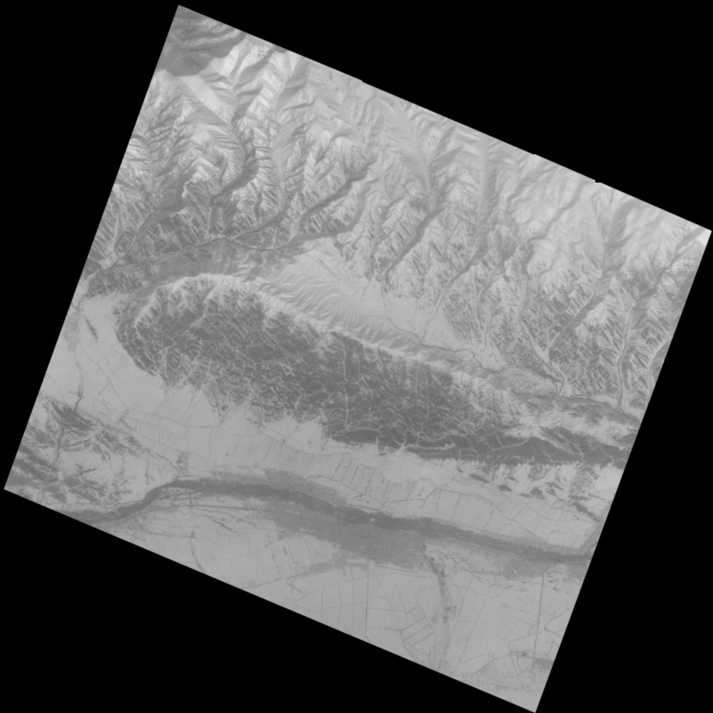
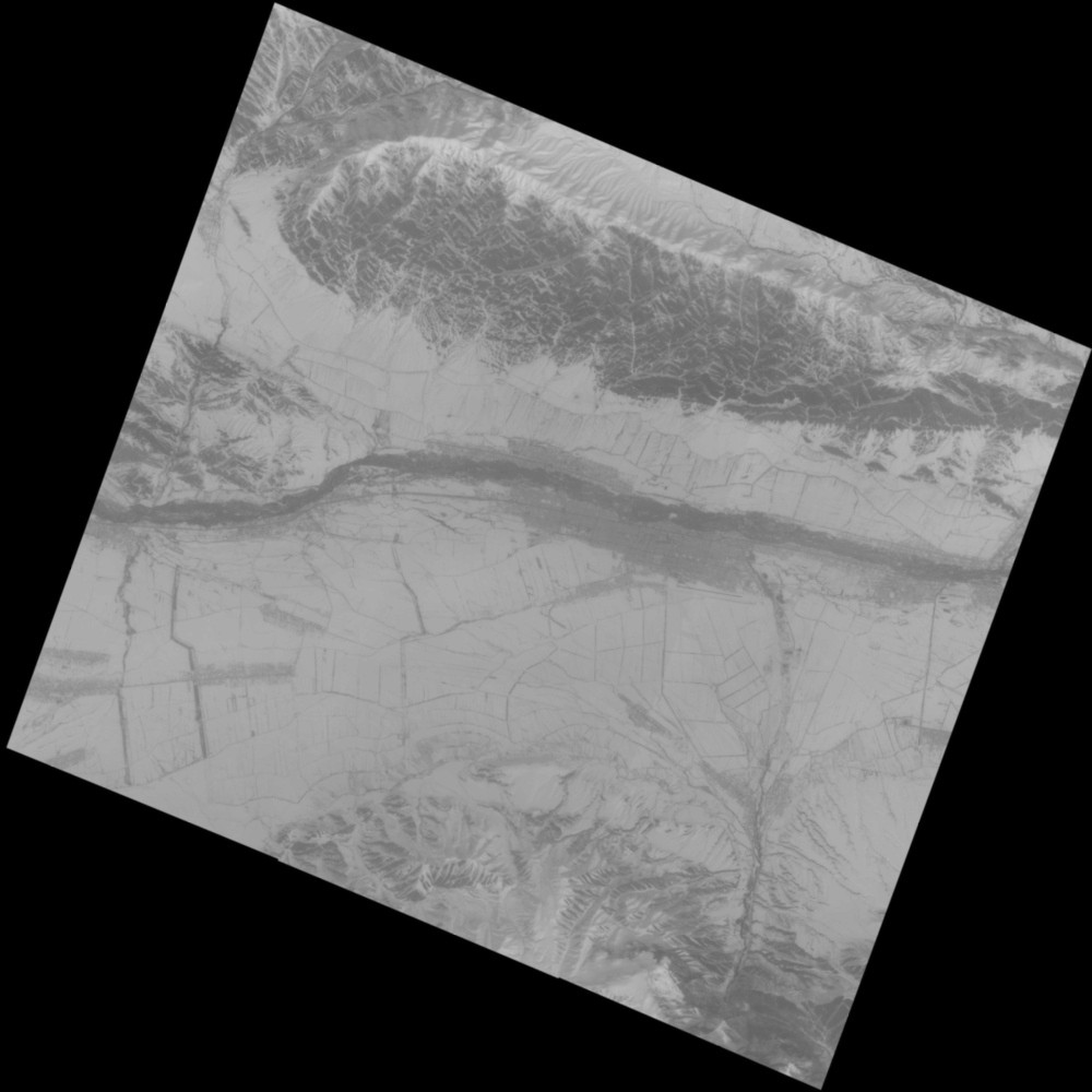
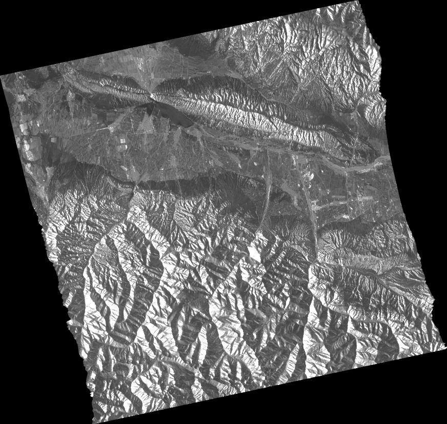
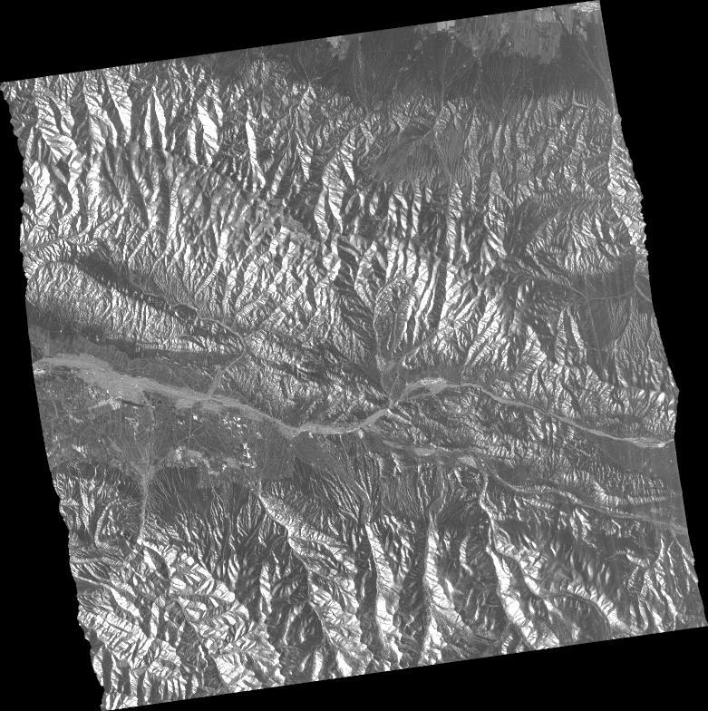
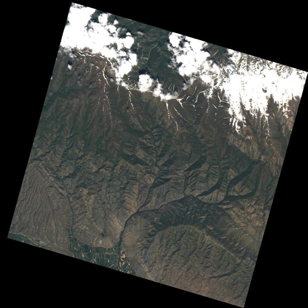
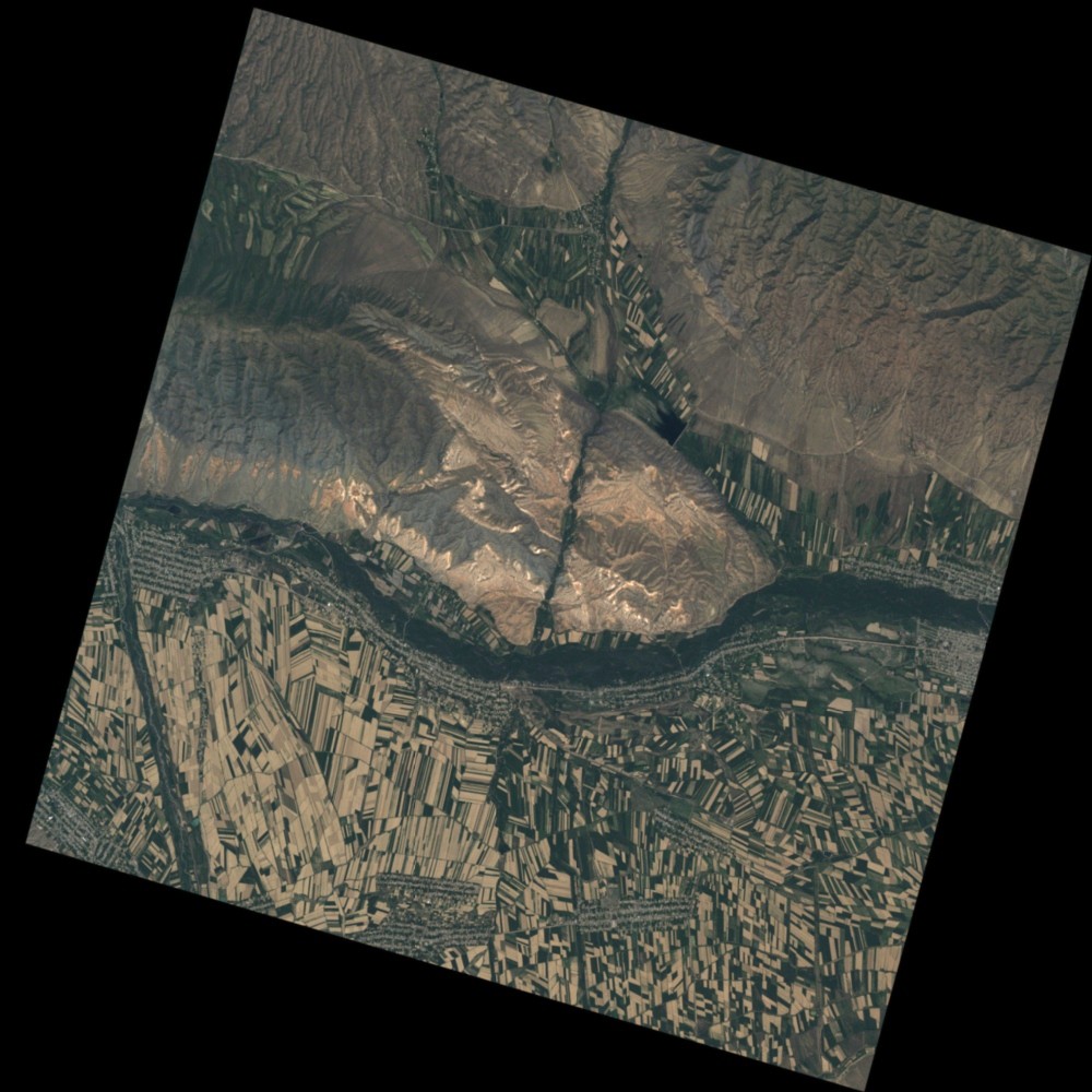
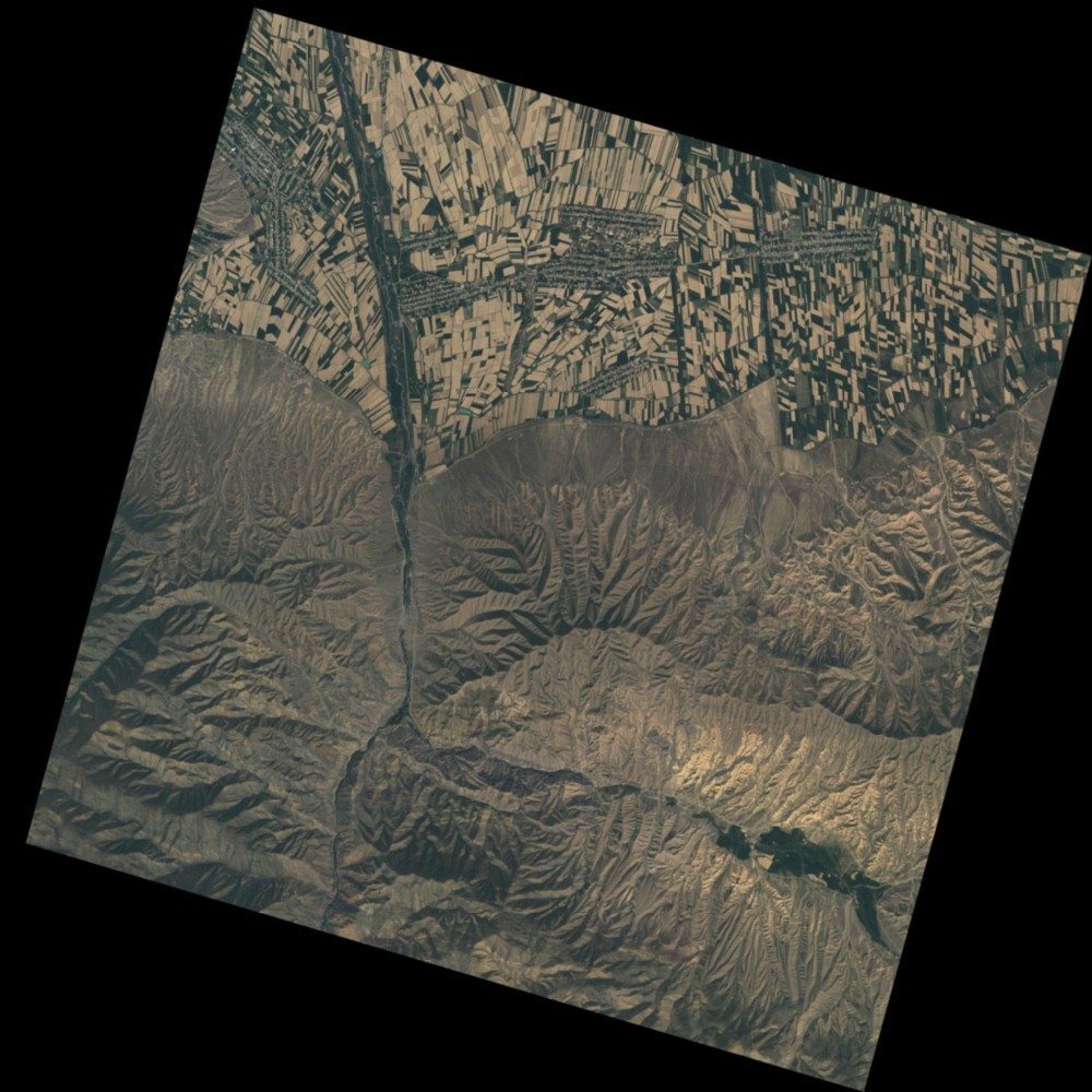
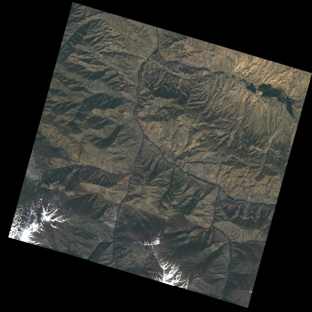
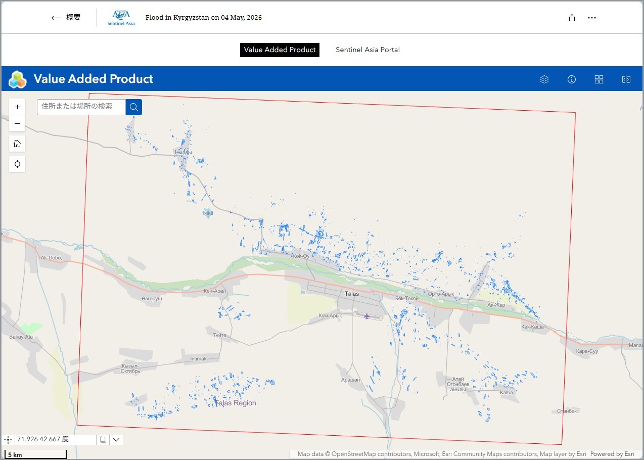
May 4, 2026 at 19:00 A mudflow flooded agricultural fields of about 12 hectares, roads in the villages of Arashan, Kozuchak and Kum-Aryk, Besh-Tash village district, Talas district, Kyrgyz Republic. RU links:
https://www.turmush.kg/ru/news:2461355
https://24.kg/proisshestvija/372891_vtalasskom_rayone_soshel_sel_postradali_selskohozyaystvennyie_ugodya/
https://www.turmush.kg/ru/news:2462166
https://www.for.kg/news-915542-ru.html
Web GIS
-
Flood in Kyrgyzstan on 04 May, 2026 see detail
-
EOR requesters-only Web-GIS site (with satellite imagery)
see detail
The account will be sent to the EOR requester after Web GIS page is prepared.
If you are interested in to be a member of Sentinel Asia, please contact: z-sentinel.asia@ml.jaxa.jp
Product
MBRSC
2026-05-12
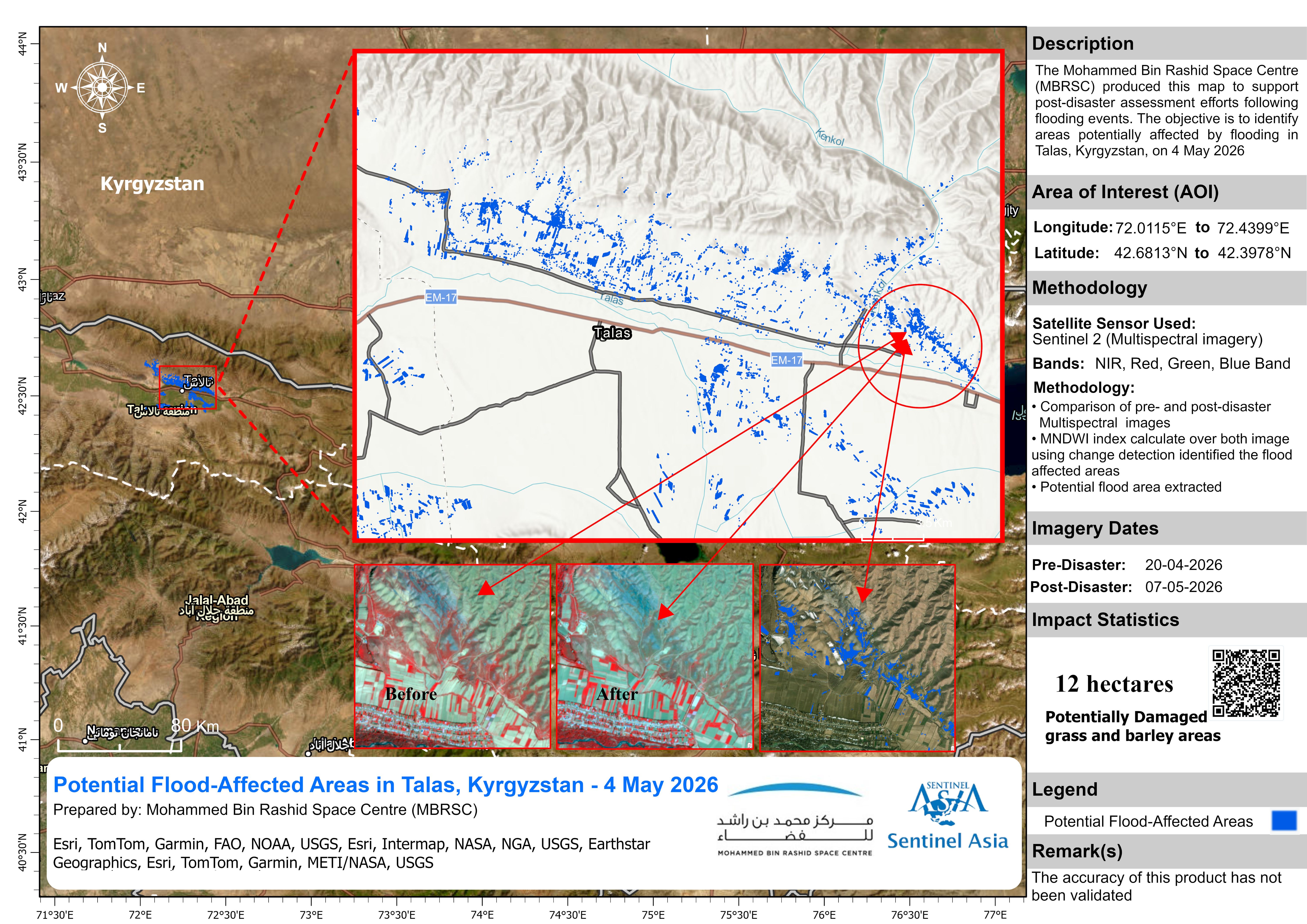
Potential Flood-Affected Areas in Talas, Kyrgyzstan
As Observed by Sentinel-2 images on 07 May 2026
2026-05-12