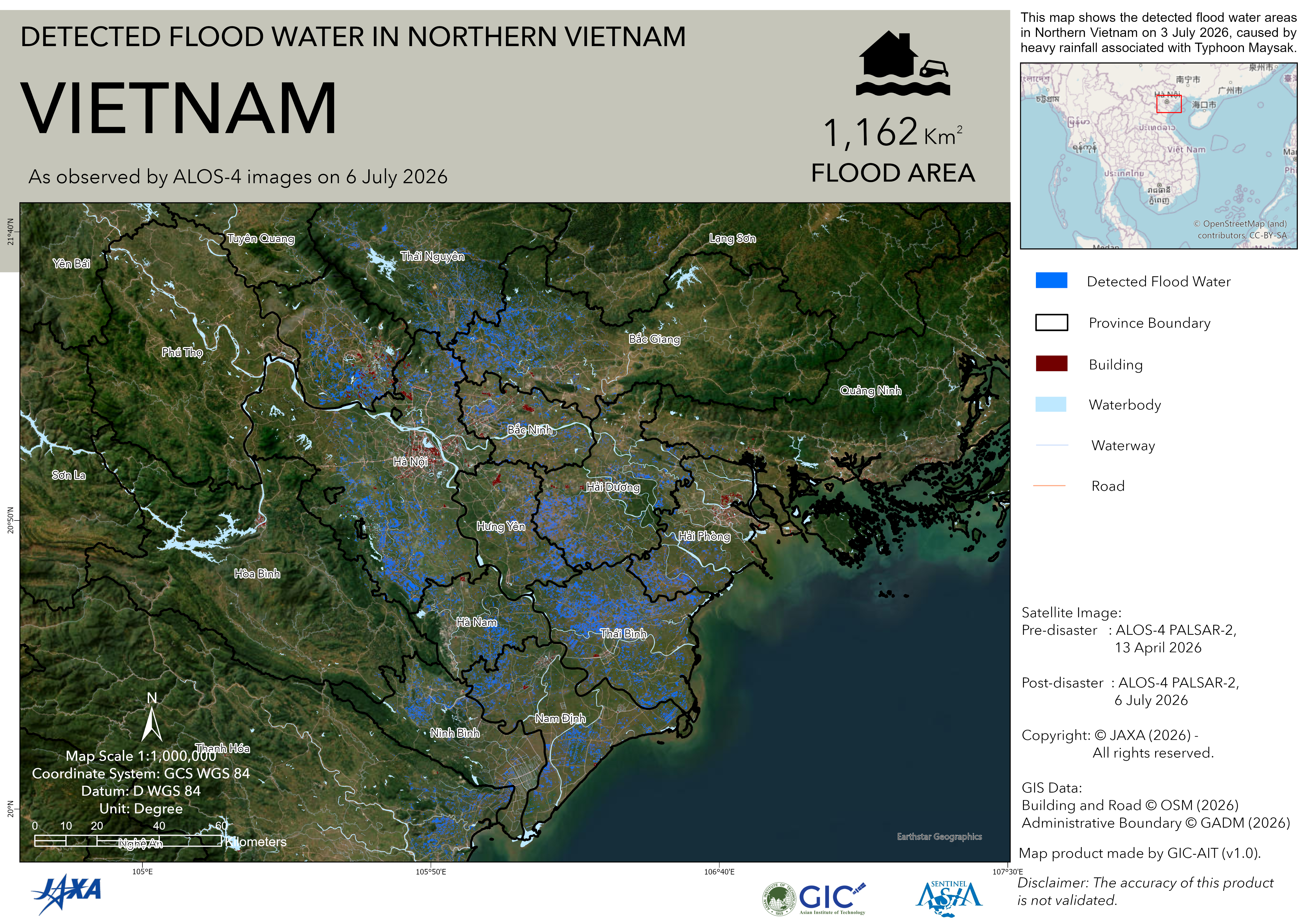
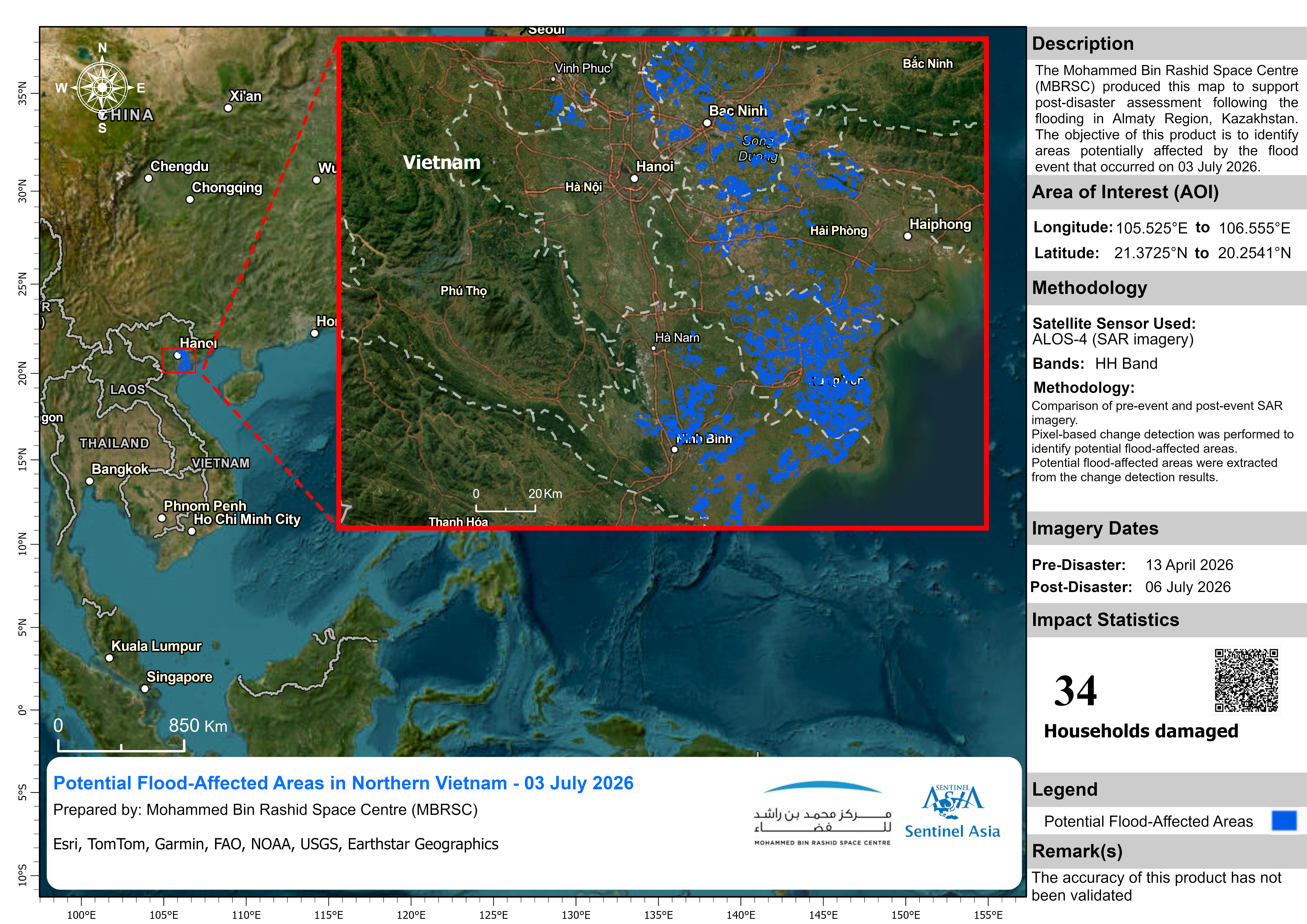
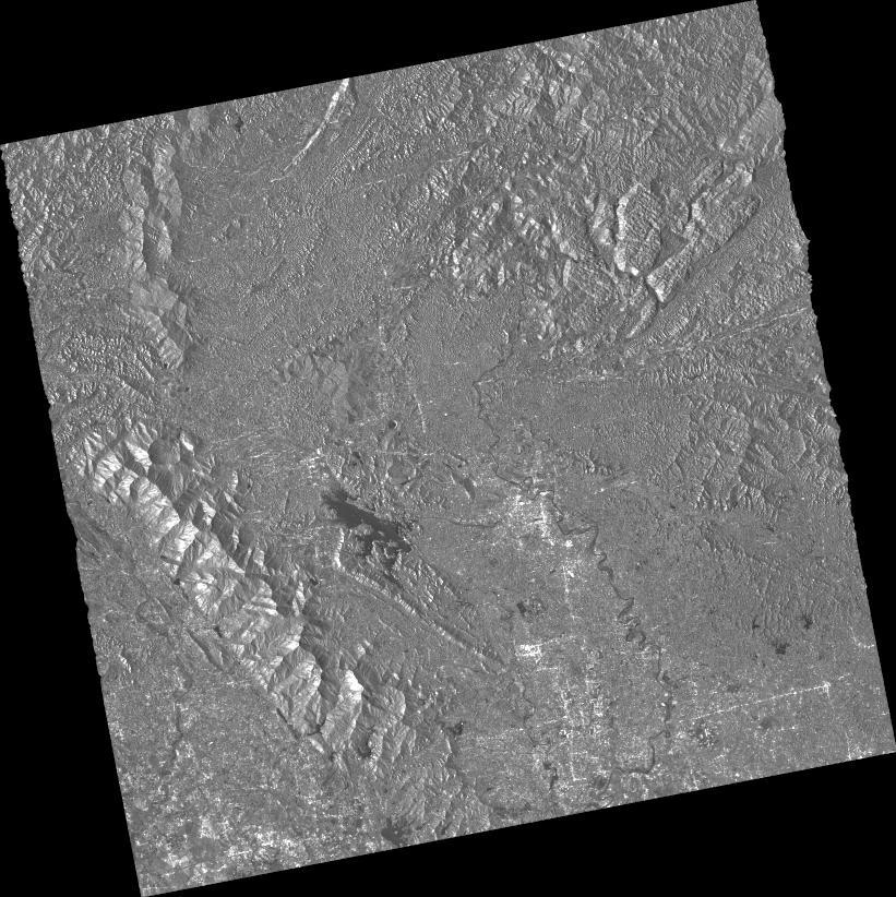
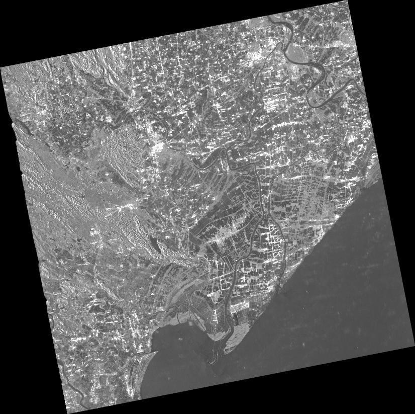
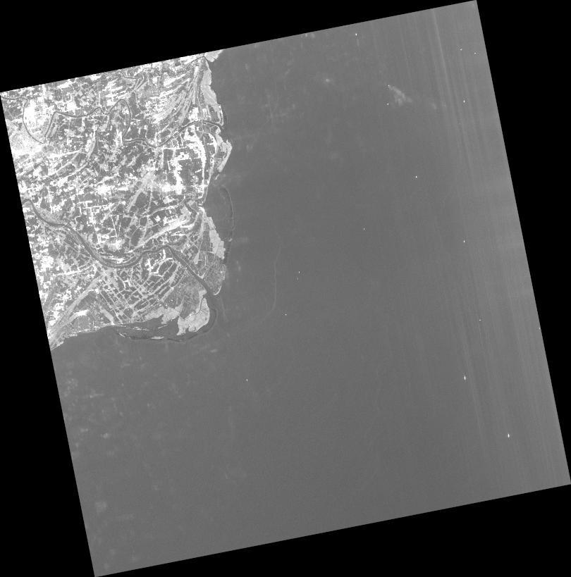
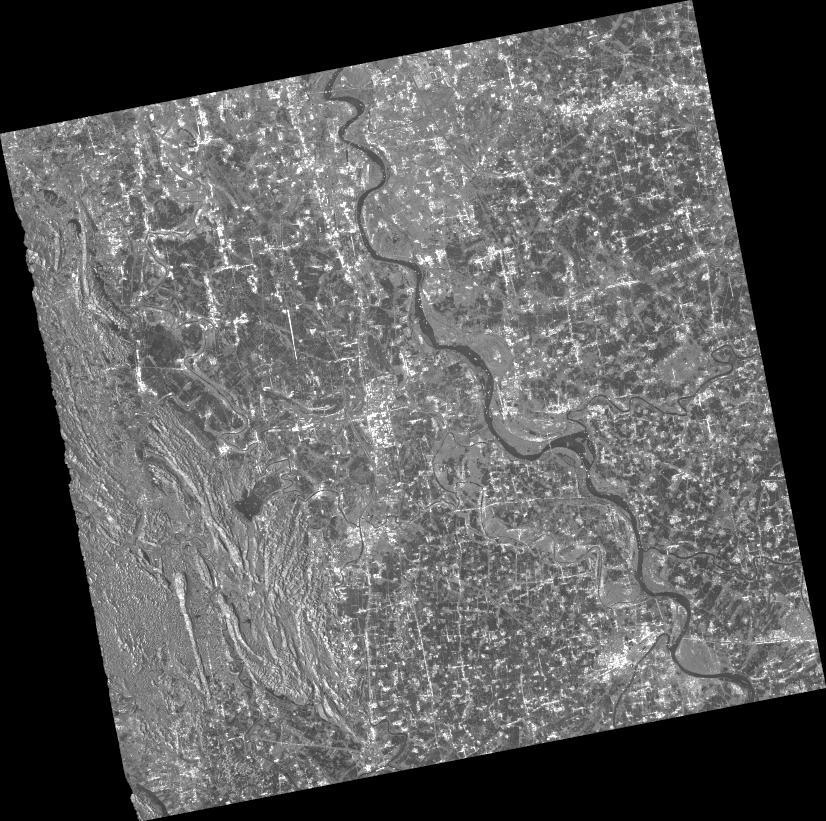
2026-07-03
Emergency Obs. Request Information
- Disaster Type: Storm, Flood and Landslide
- Country/Region: Vietnam
- Occurrence Date (UTC): 03 July, 2026
- SA activation Date(UTC): 04 July, 2026
- Requester: Ministry of Agriculture and Environment (MAE)
- Escalation to the International Charter: No
- GLIDE Number: TC-2026-000098-VNM
Disaster Situation
https://www.nchmf.gov.vn/kttv/vi-VN/1/tin-bao-khan-cap-con-bao-so-01-post51585.html
Due to the impact of Typhoon No. 1, internationally named Maysak, thunderclouds have covered many localities, including Hanoi, Bac Ninh, Phu Tho, Ninh Binh, and Thanh Hoa. From the night of July 3 to July 5, the Northeast region and Thanh Hoa will experience widespread heavy rain, with common rainfall totals of 70-150 mm and some areas receiving more than 200-350 mm. intense rainfall could cause urban flooding, flash floods, and landslides.
Web GIS
-
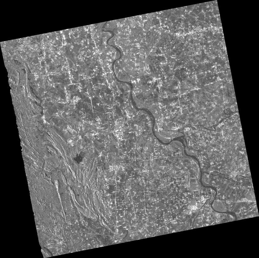
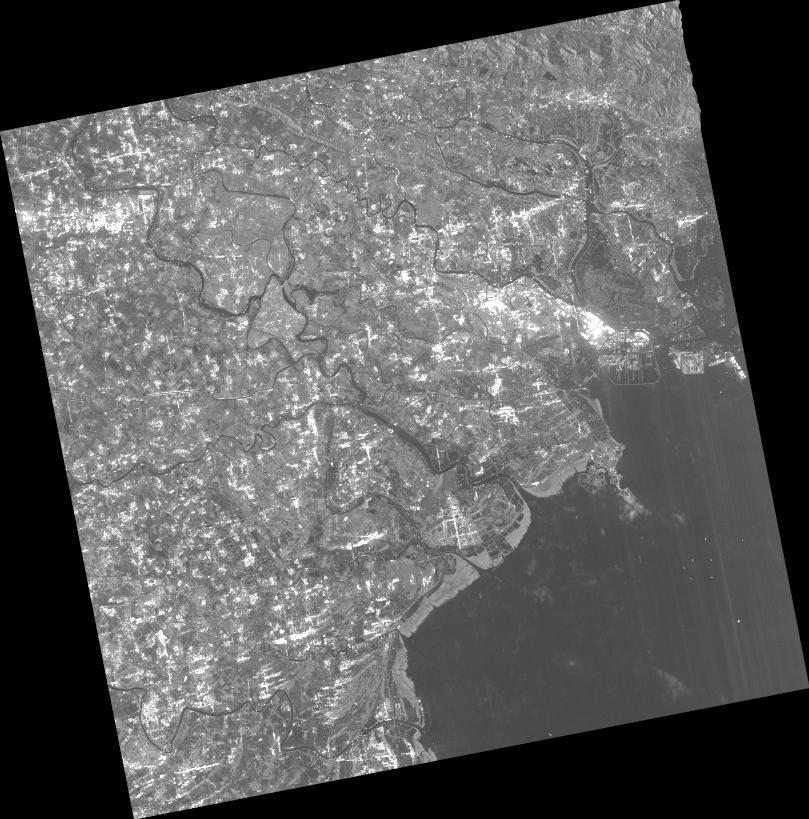
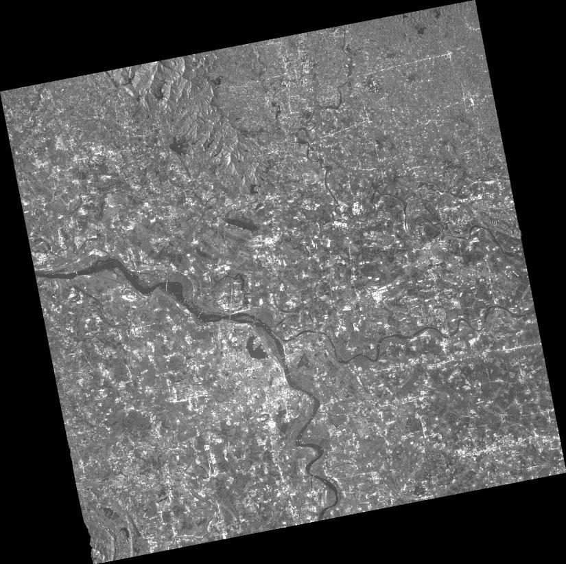
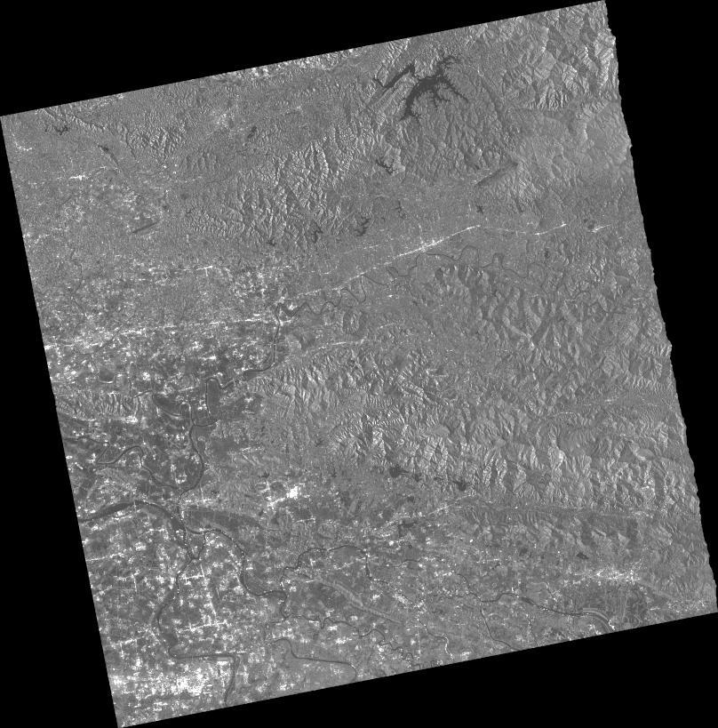
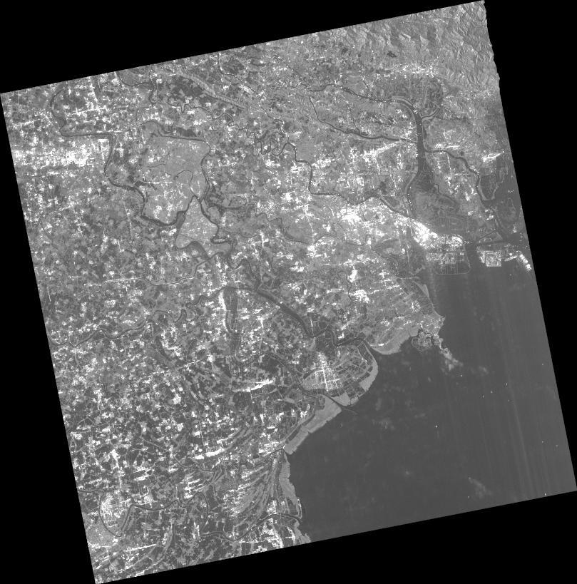
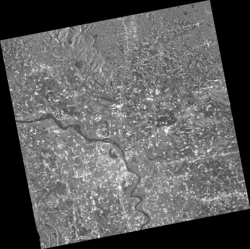
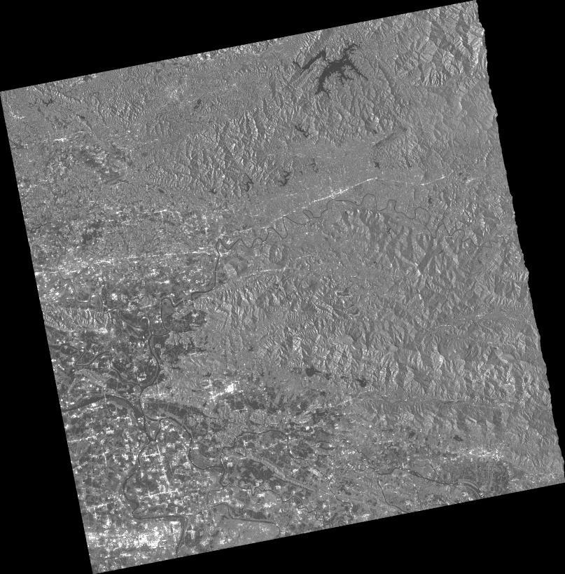
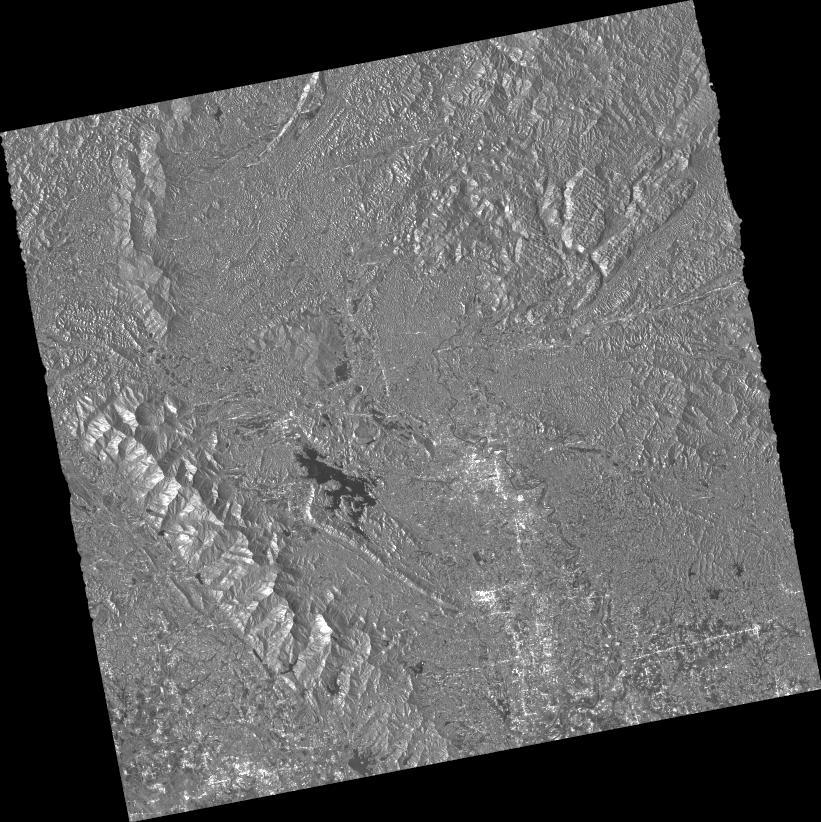
Flood Concerns Due to Intense Rainfall in Northern Vietnam on 03 July, 2026 see detail
-
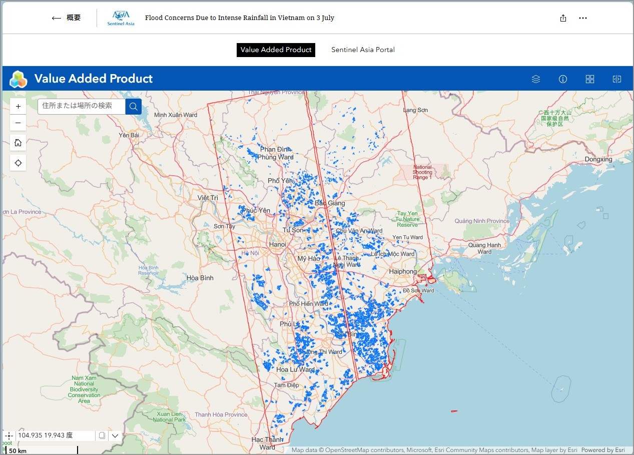
EOR requesters-only Web-GIS site (with satellite imagery)
see detail
The account will be sent to the EOR requester after Web GIS page is prepared.
If you are interested in to be a member of Sentinel Asia, please contact: z-sentinel.asia@ml.jaxa.jp