2026-09-13
Emergency Obs. Request Information
- Disaster Type: Storm, Flood and Landslide
- Country/Region: Vietnam
- Occurrence Date (UTC): 13 September, 2026
- SA activation Date(UTC): 14 September, 2026
- Requester: Ministry of Agriculture and Environment (MAE)
- Escalation to the International Charter: No
- GLIDE Number: FL-2026-000173-VNM
Disaster Situation
https://tuoitre.vn/mua-lon-khien-nhieu-khu-vuc-mien-nui-quang-tri-bi-chia-cat-10026091312550322.htm
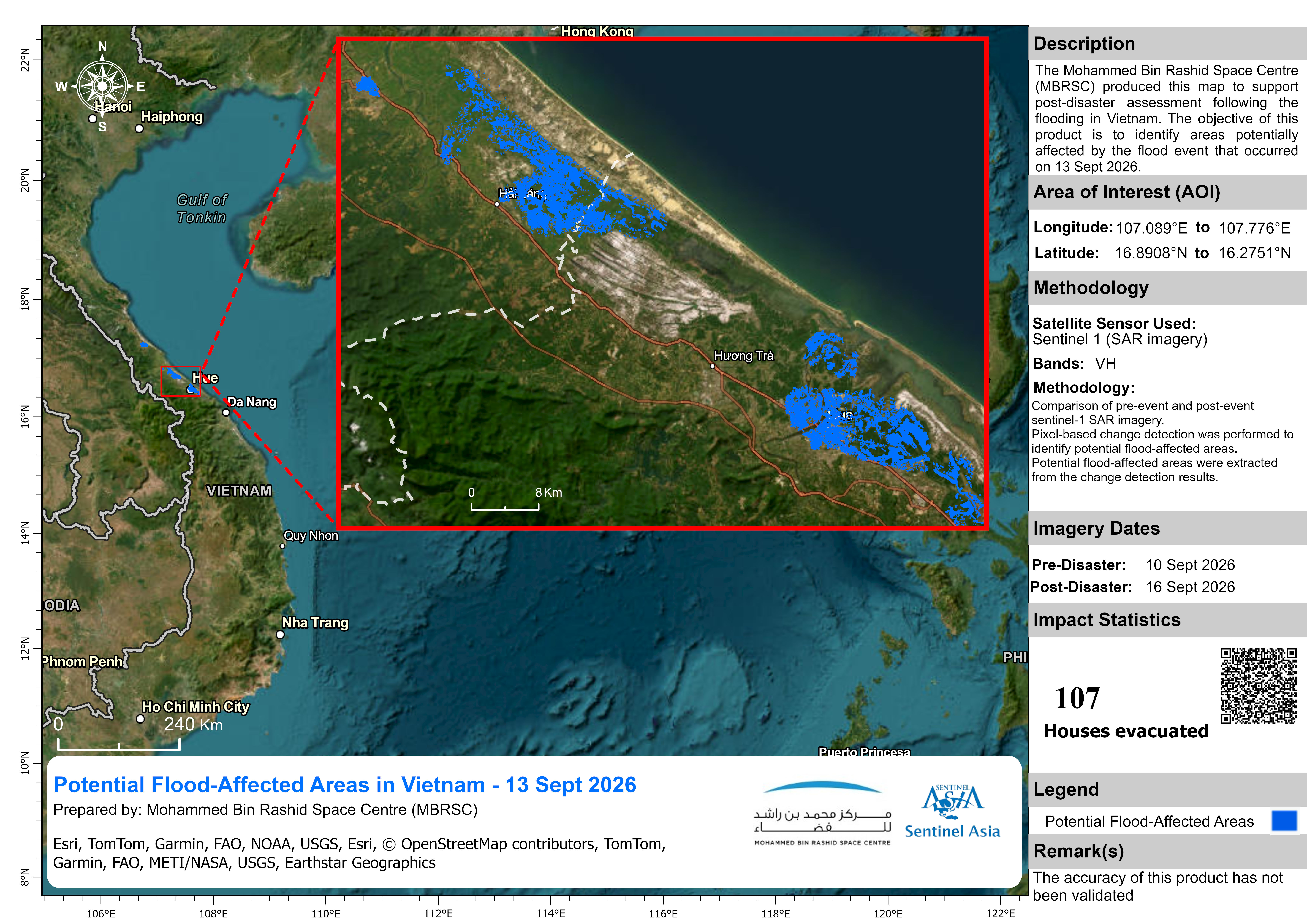
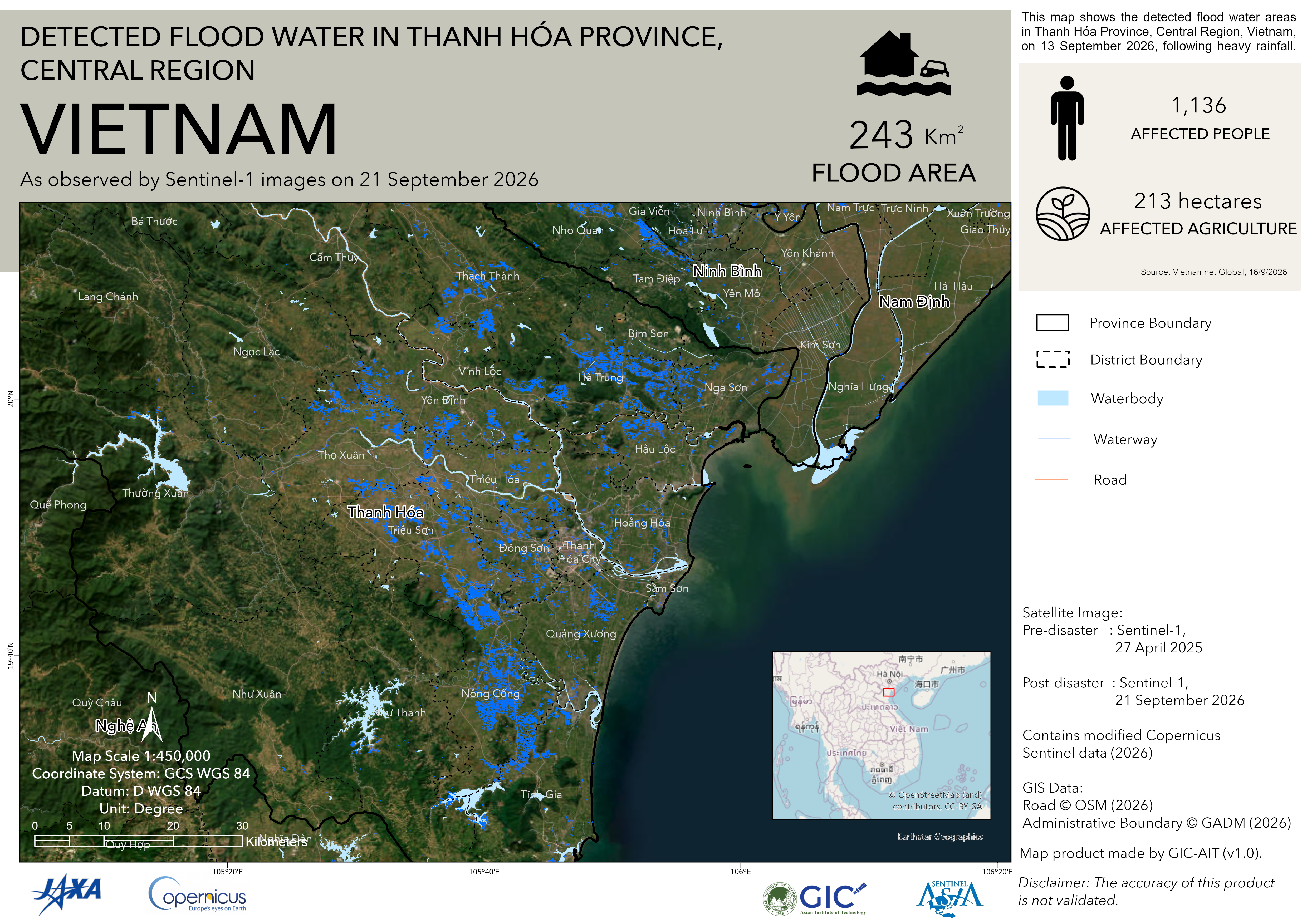
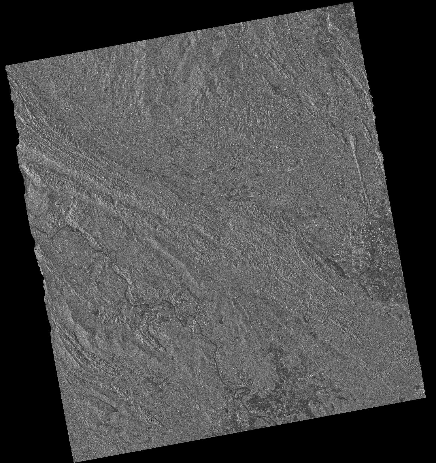
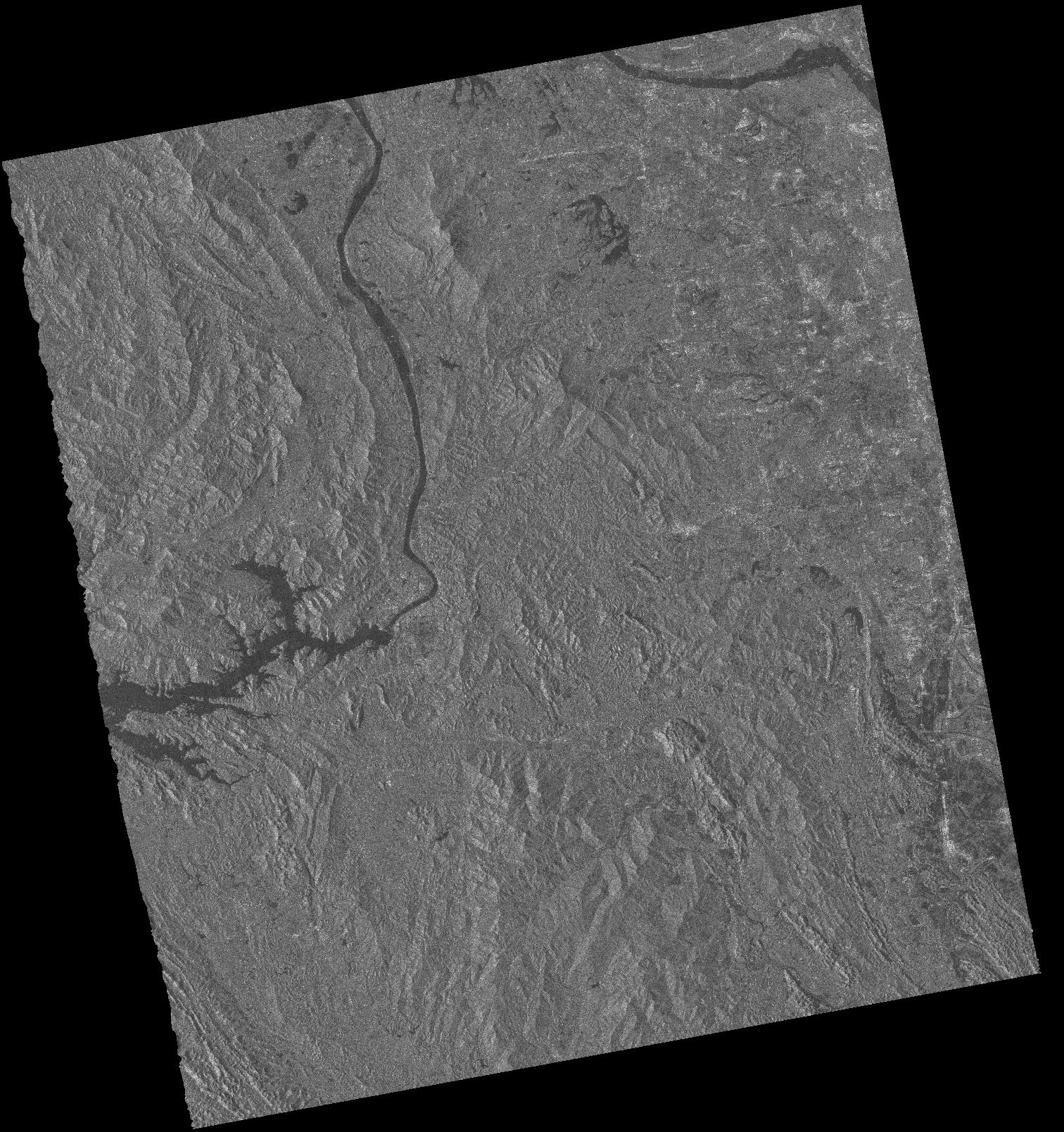
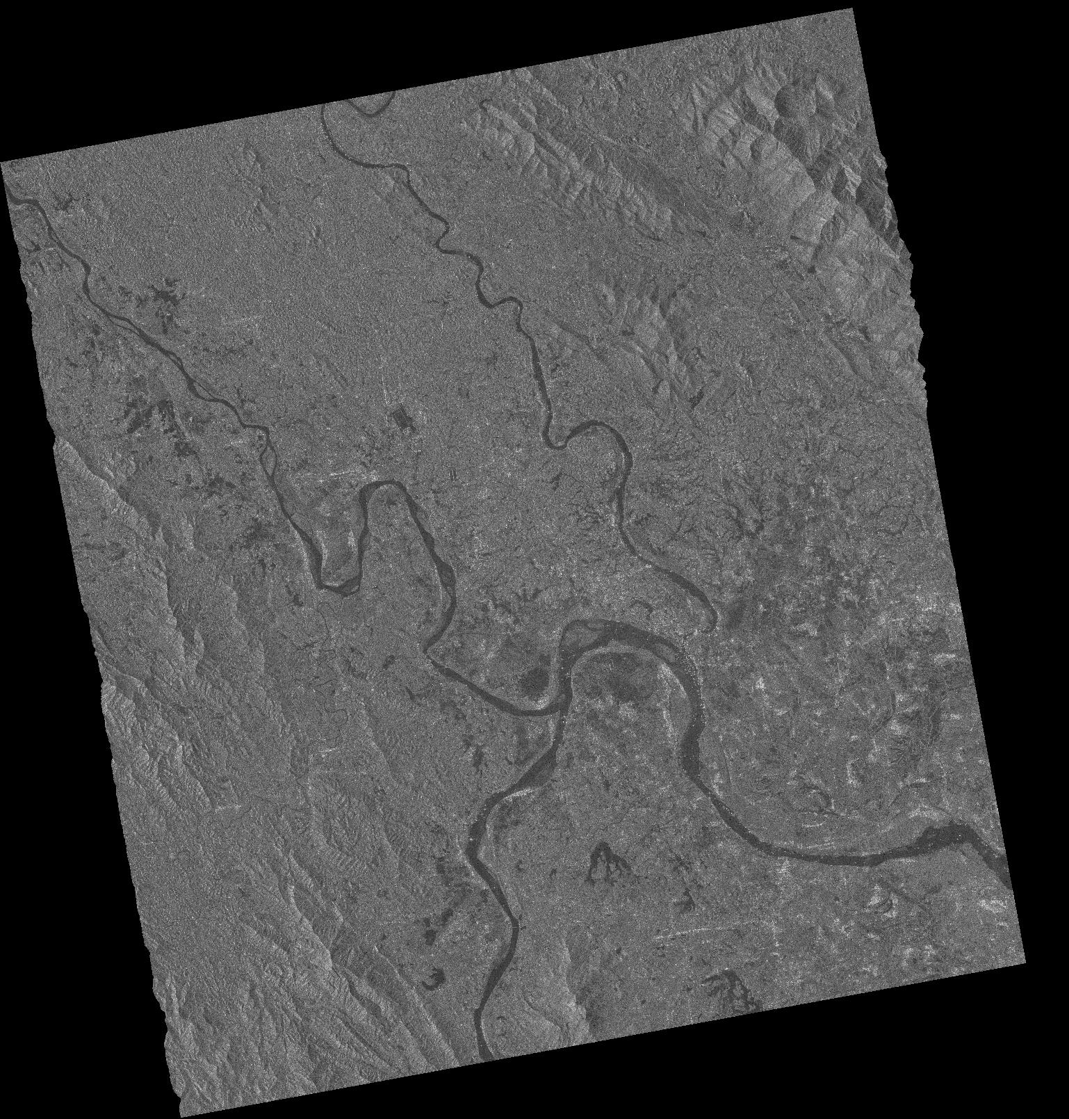
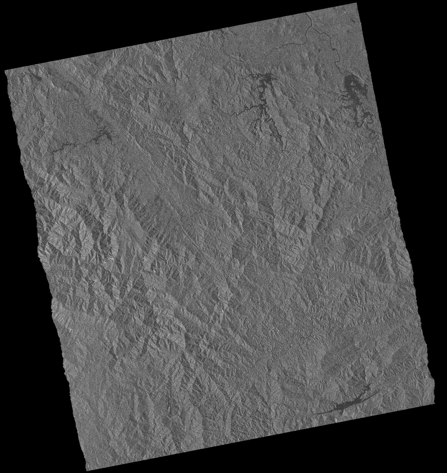
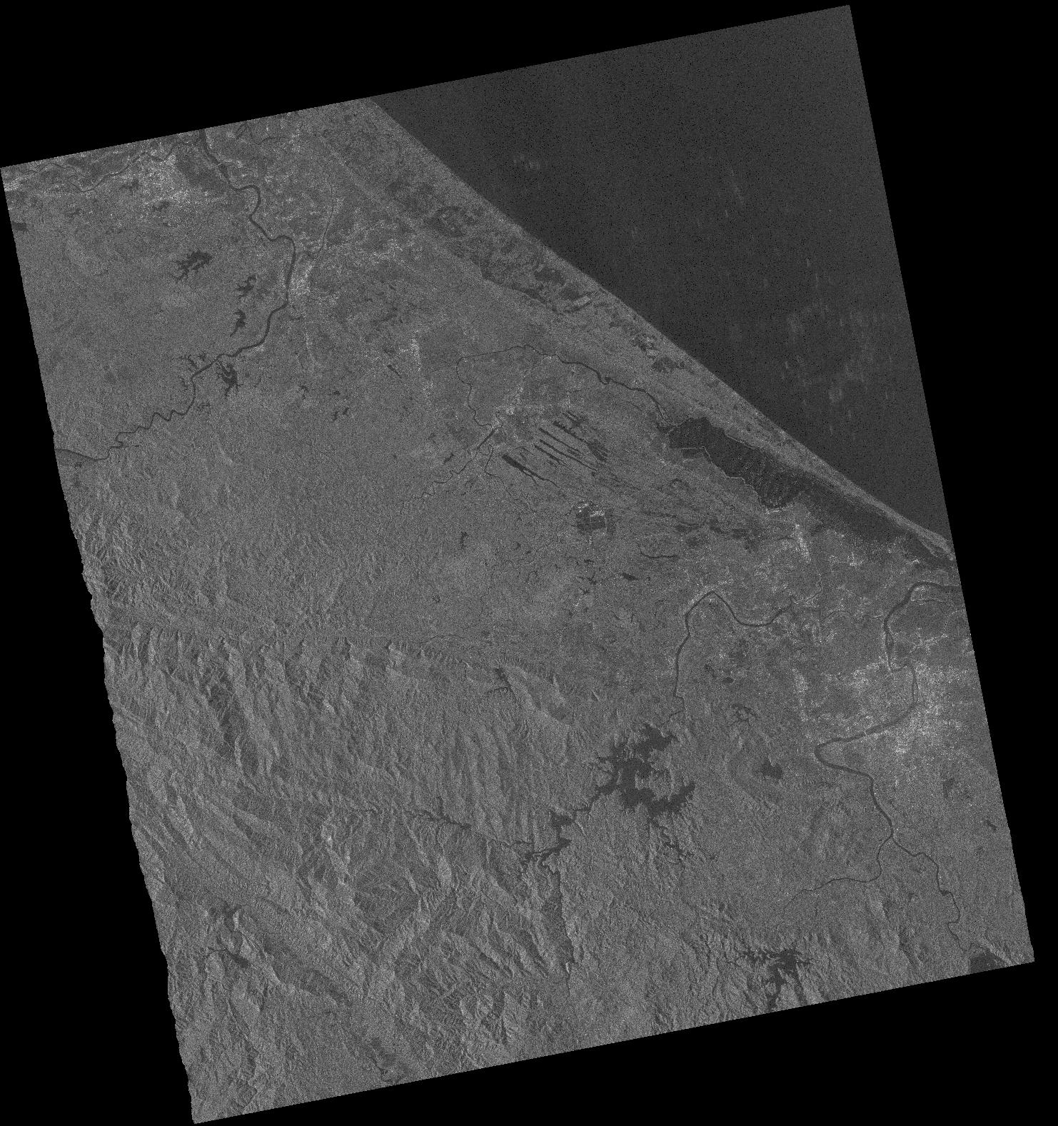
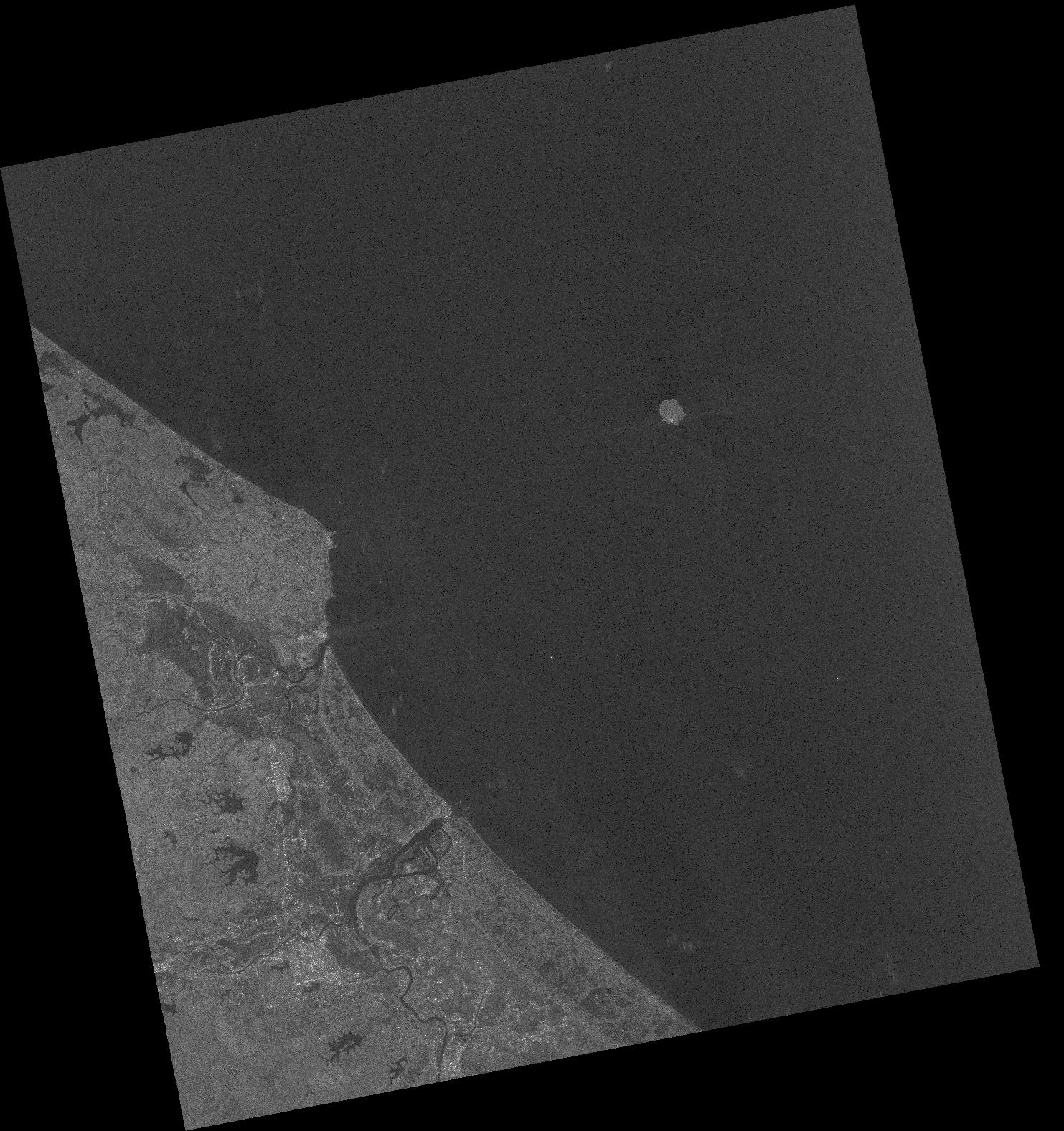
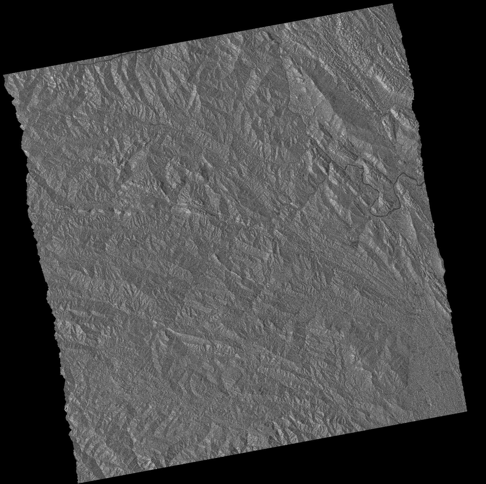
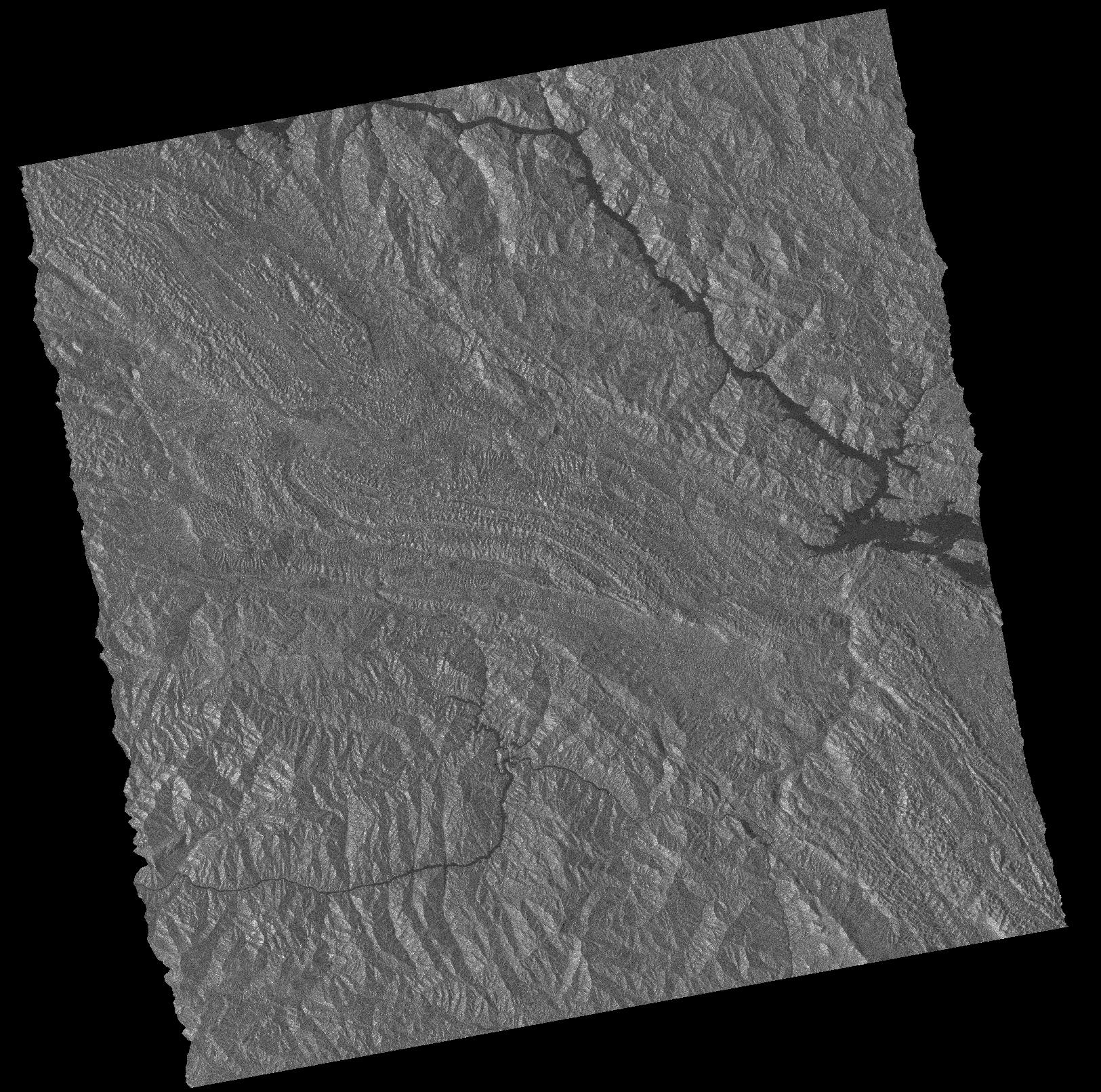
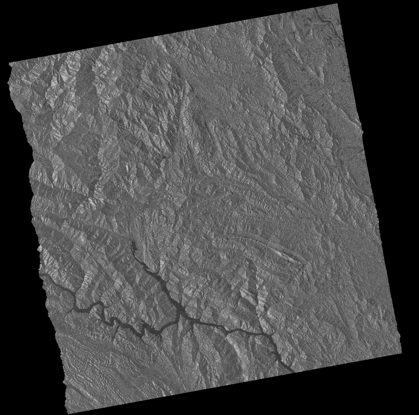
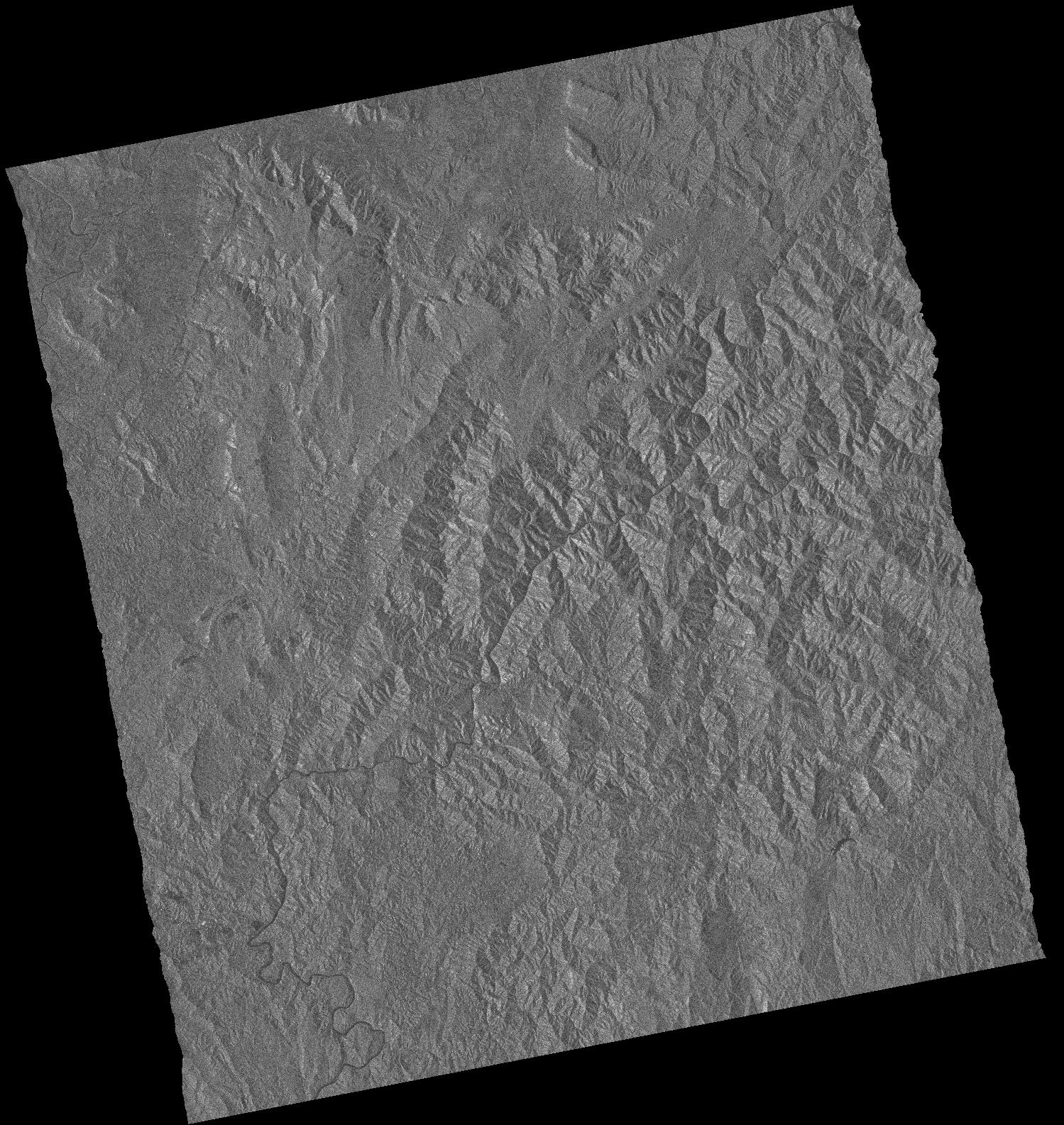
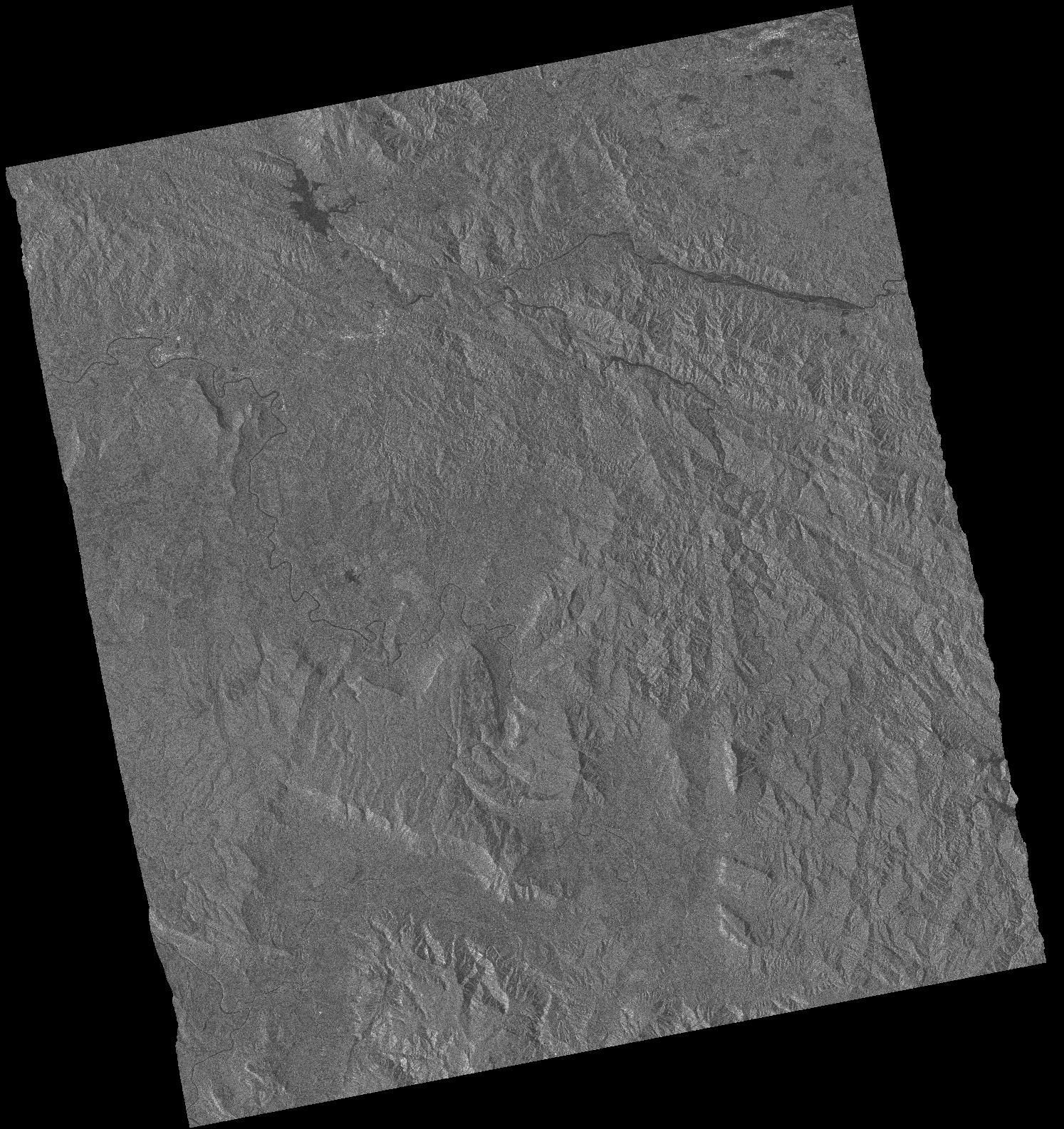
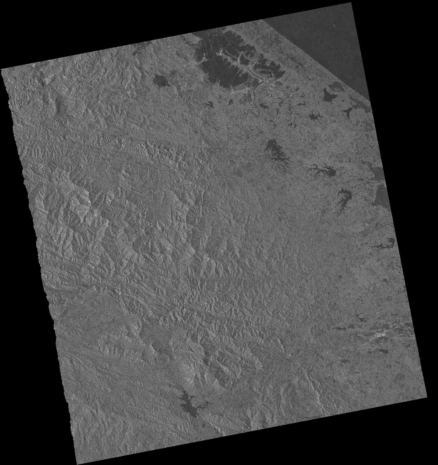
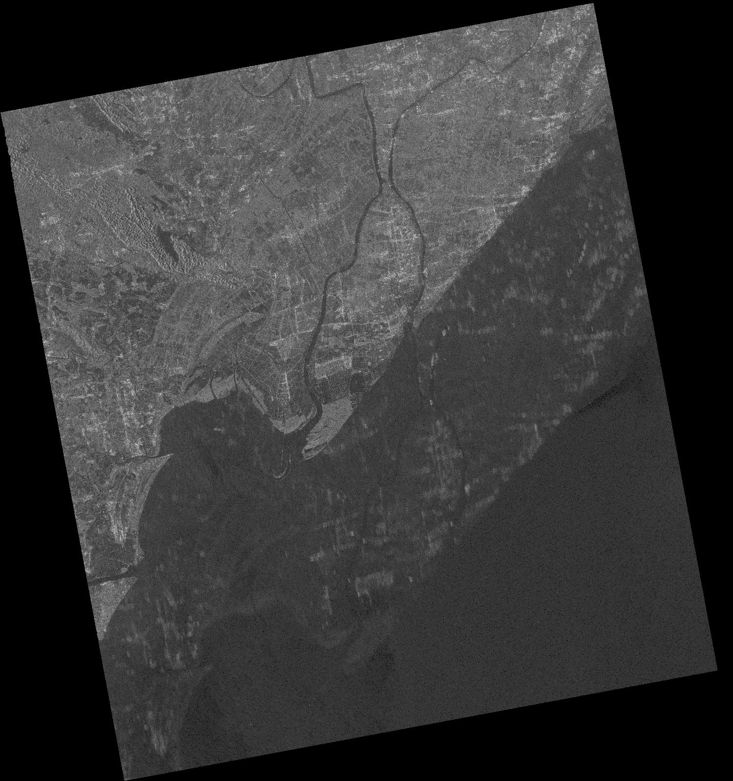
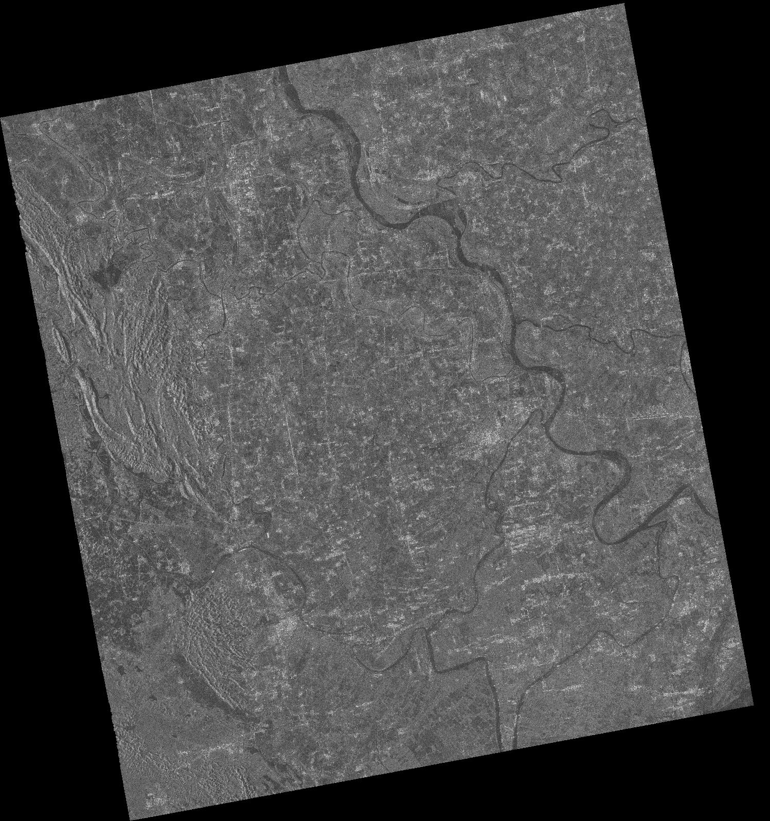
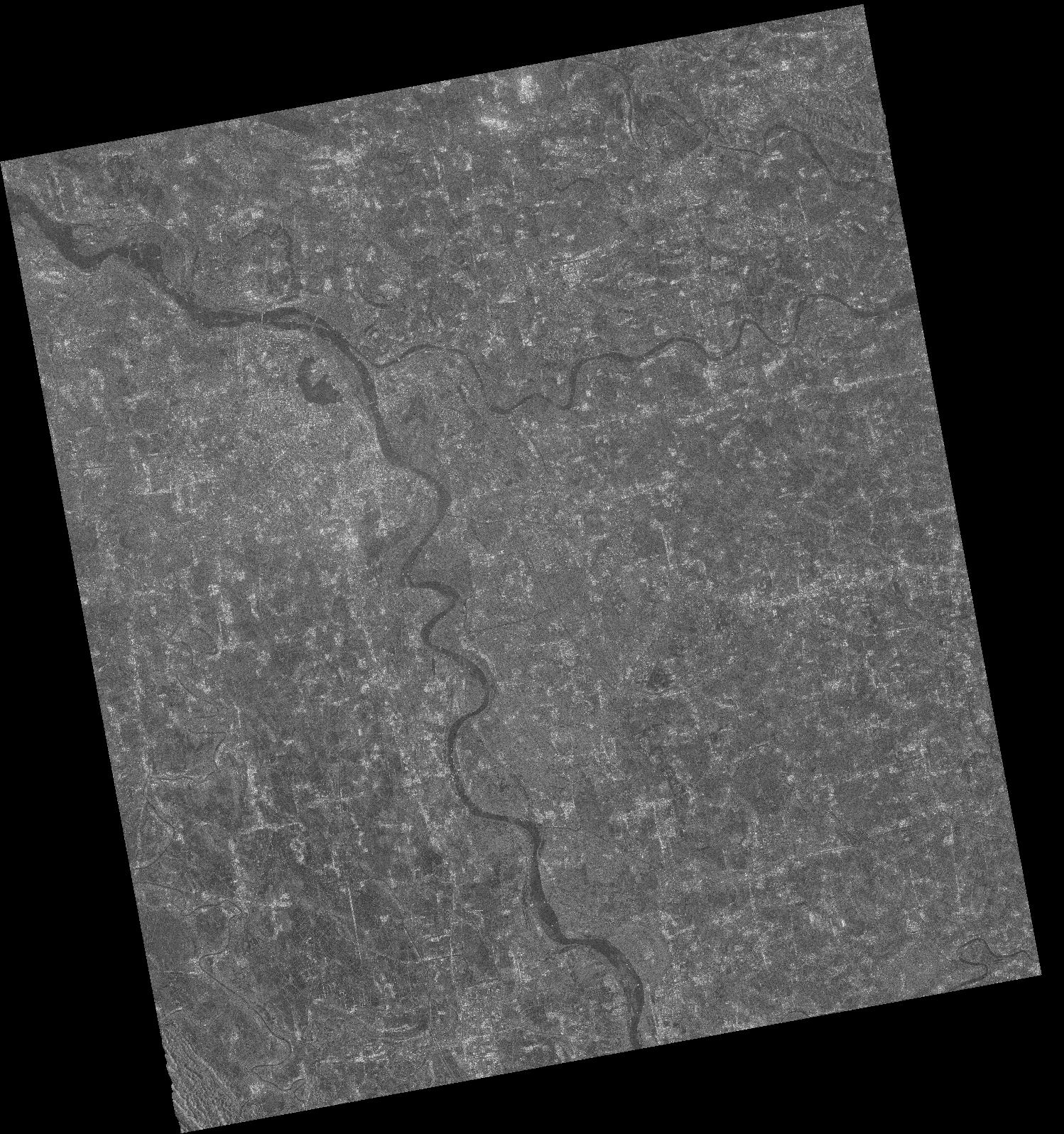
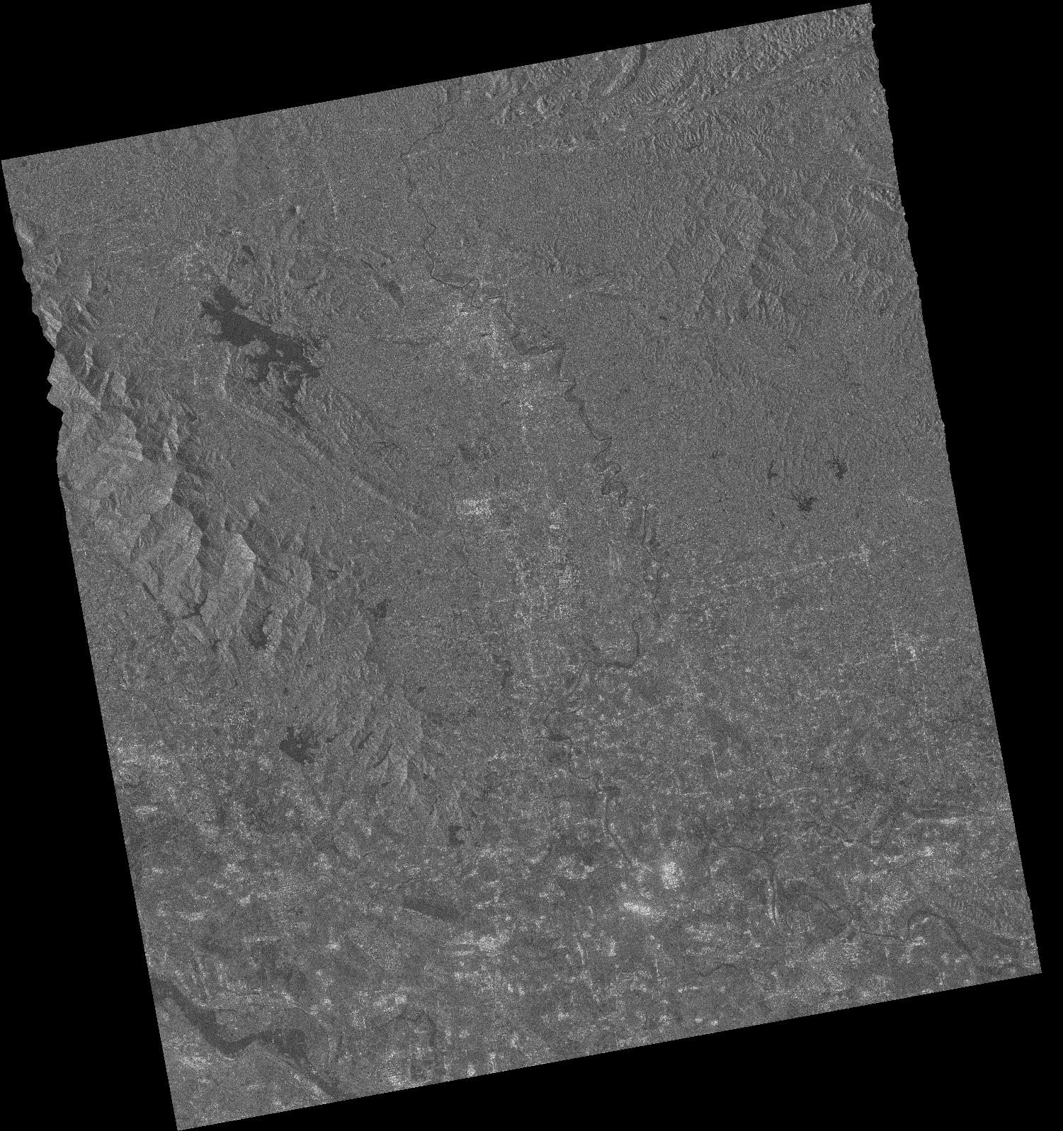
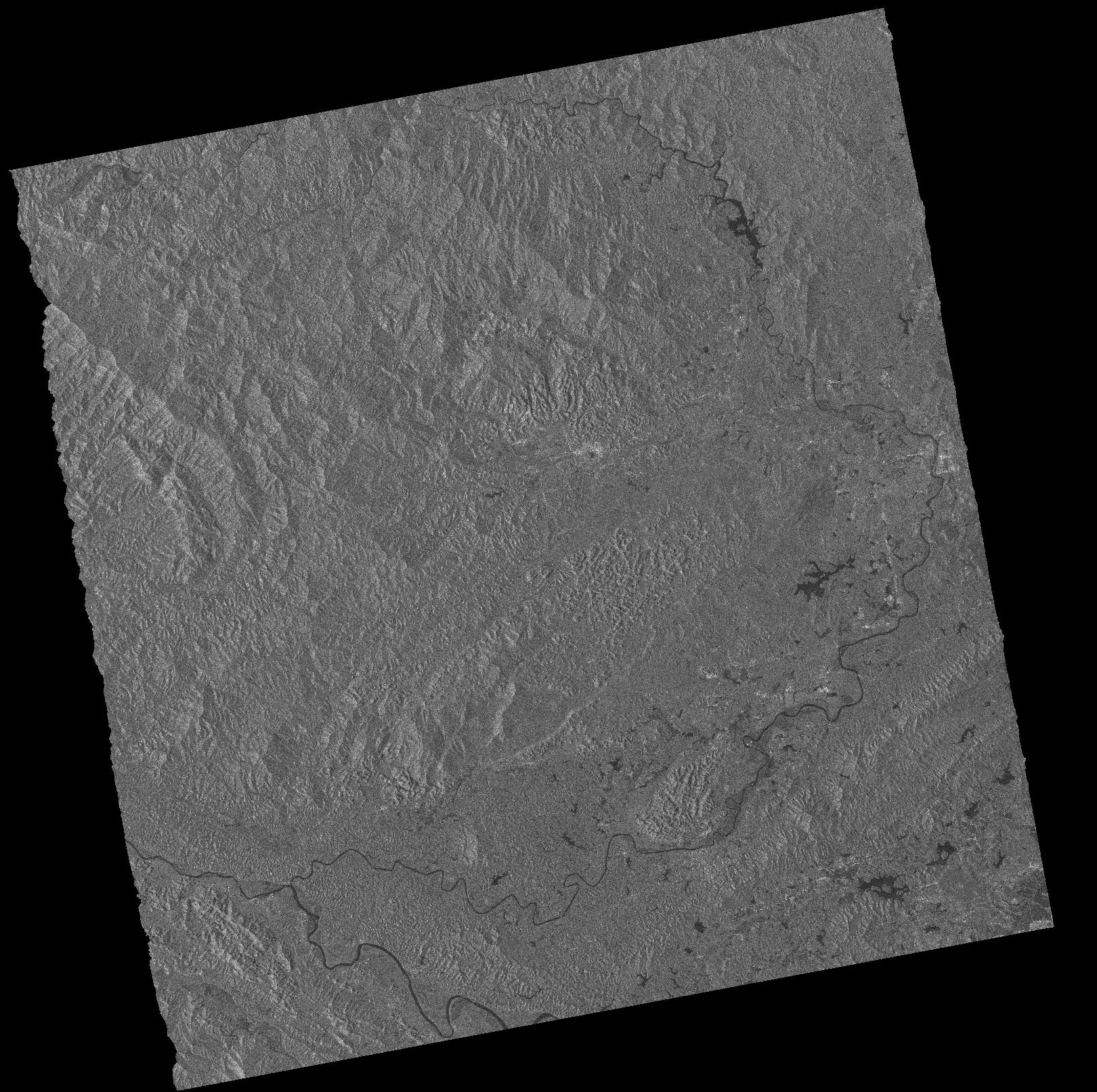
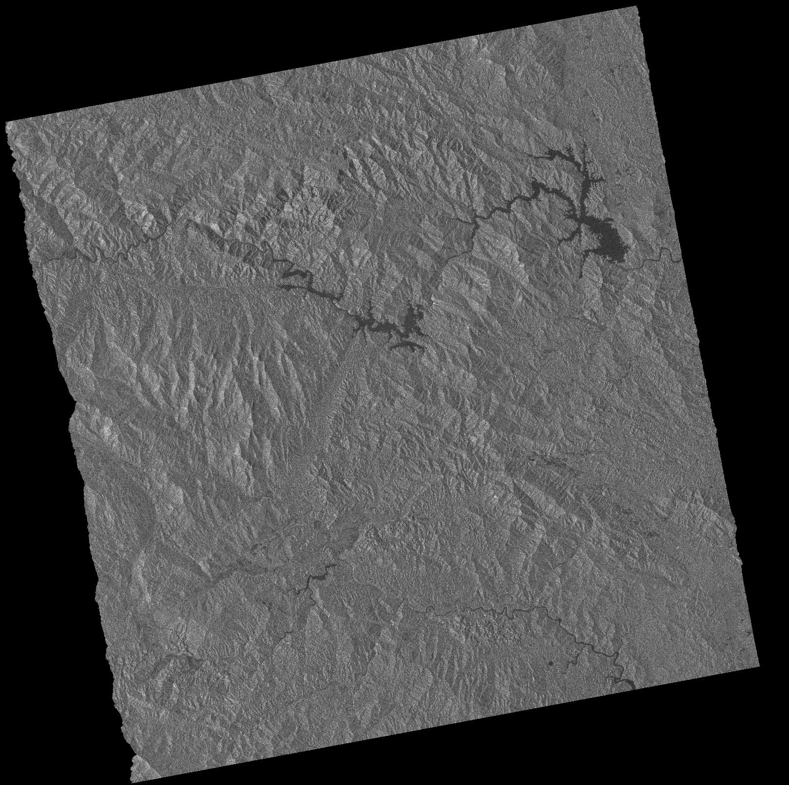
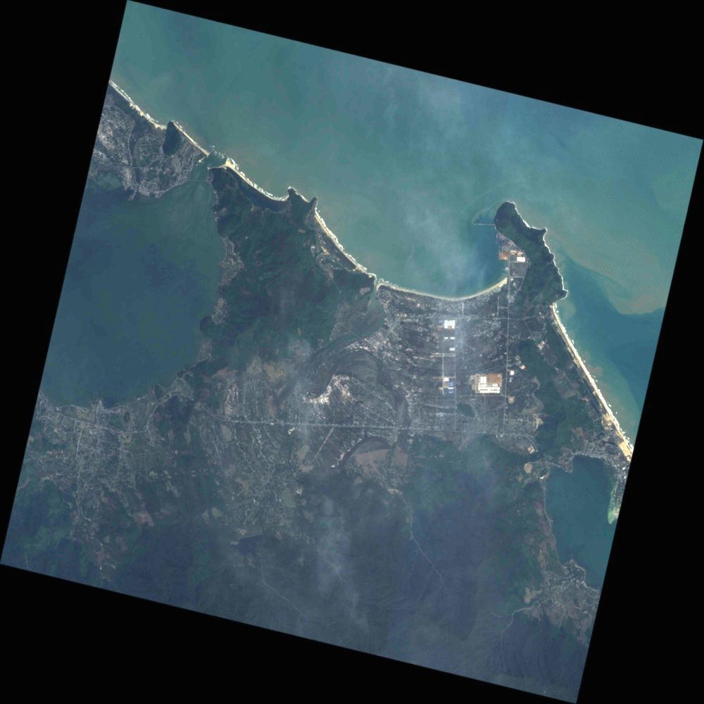
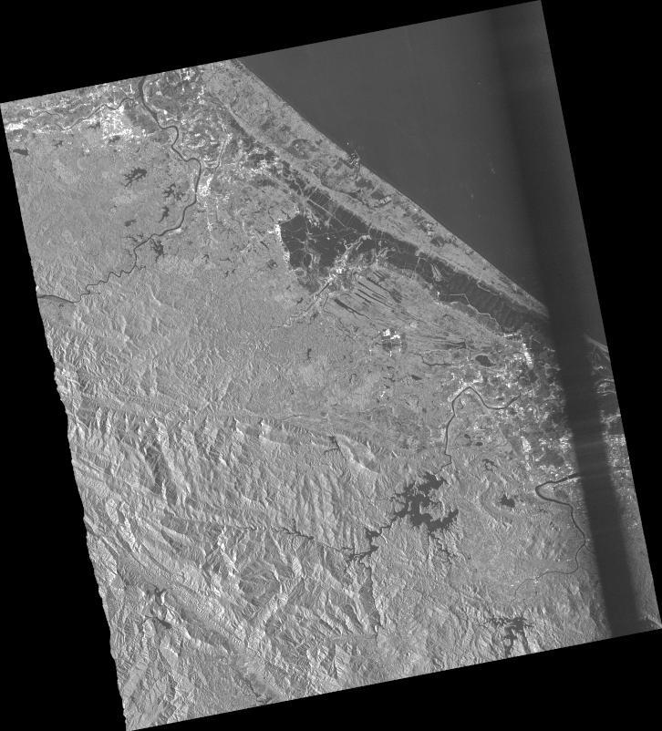
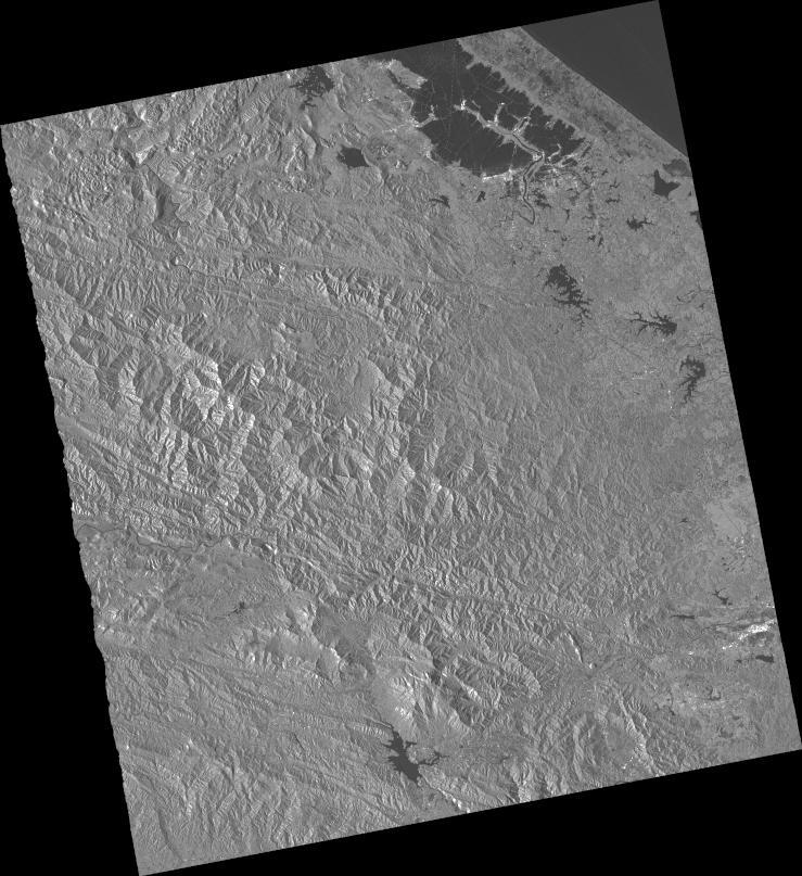
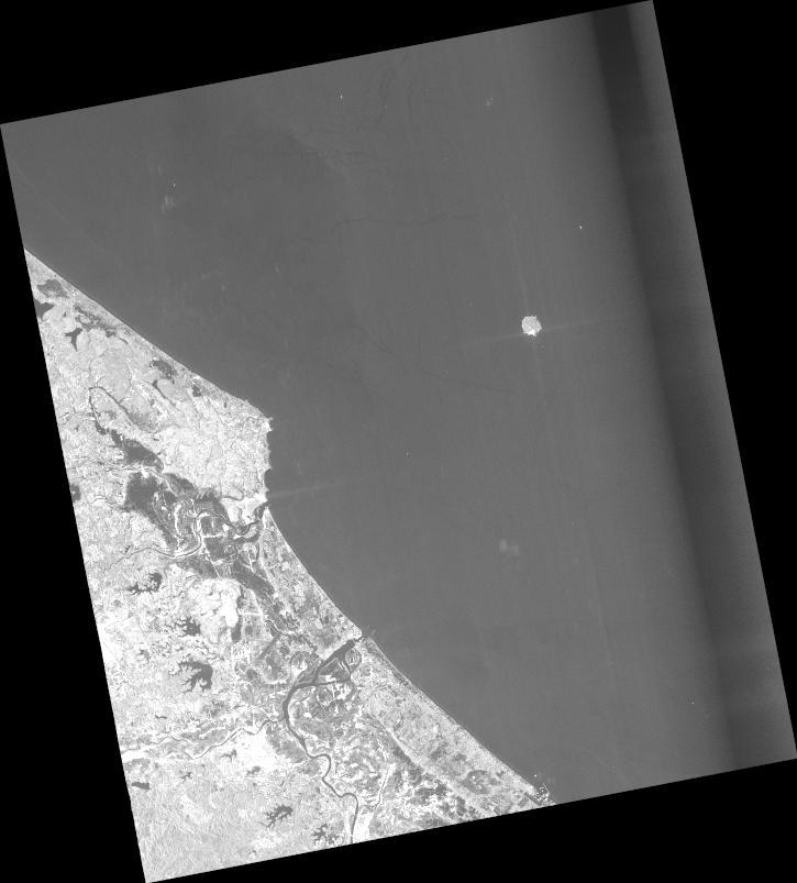
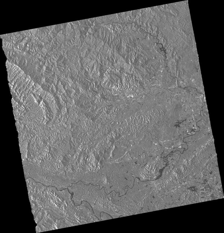
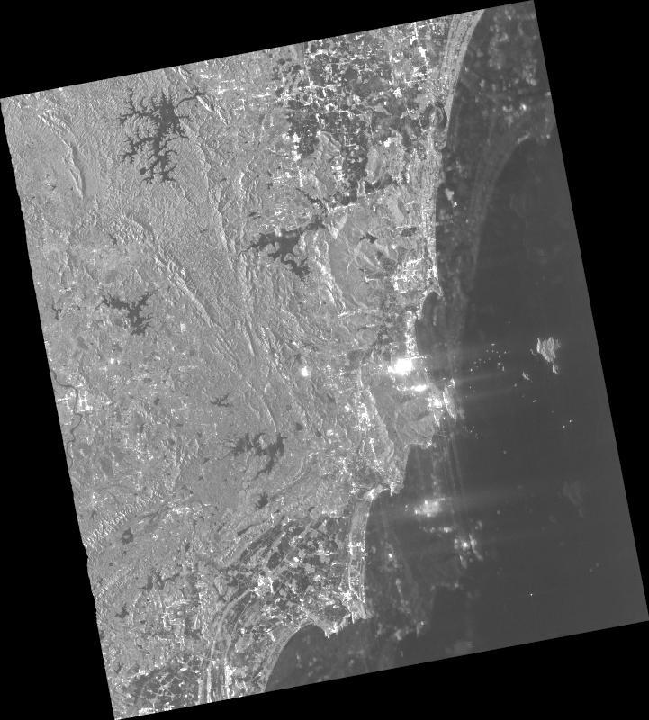
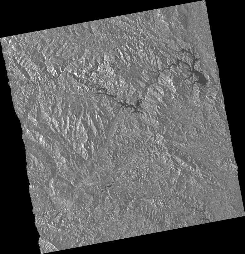
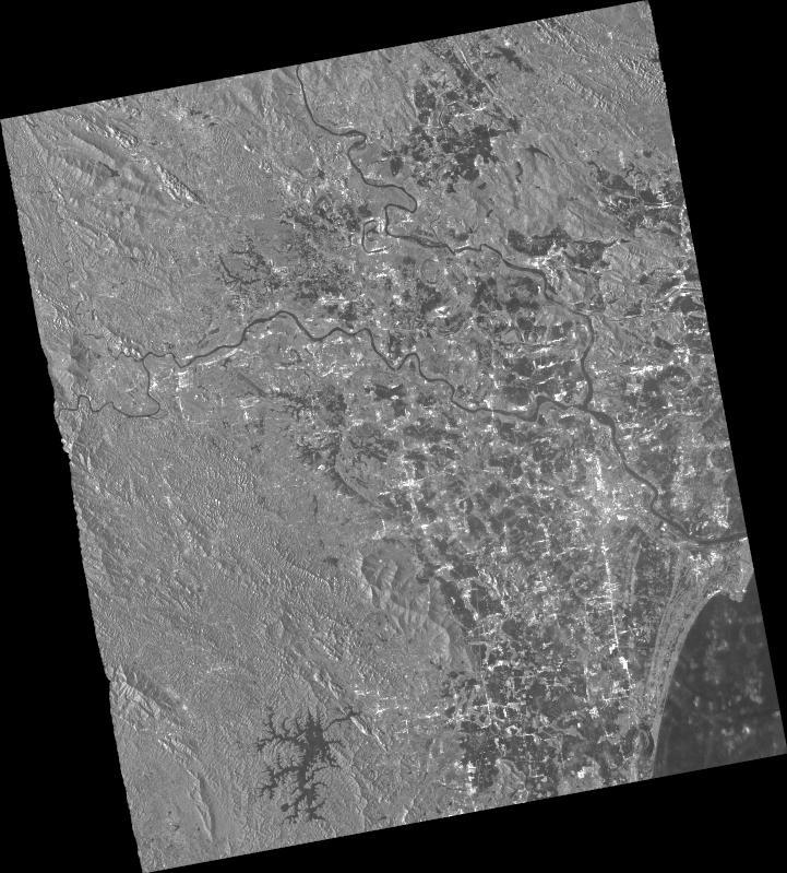
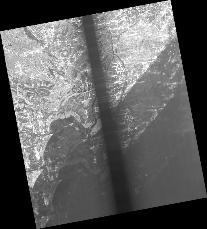
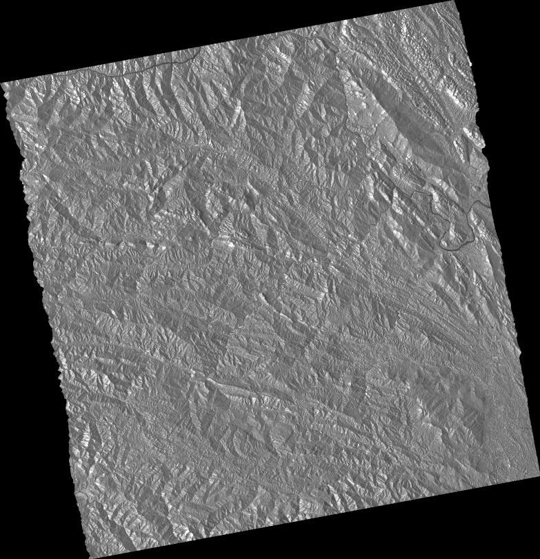
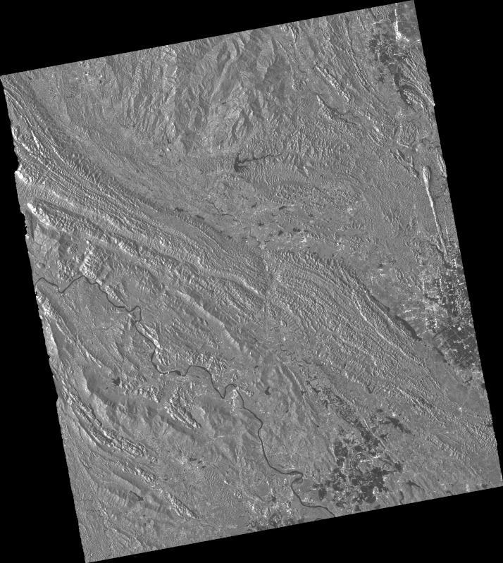
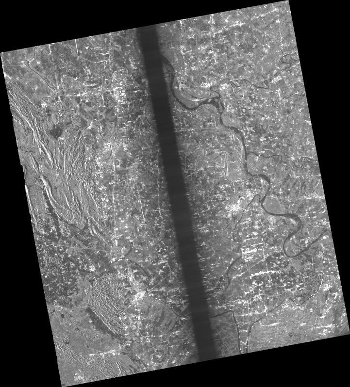
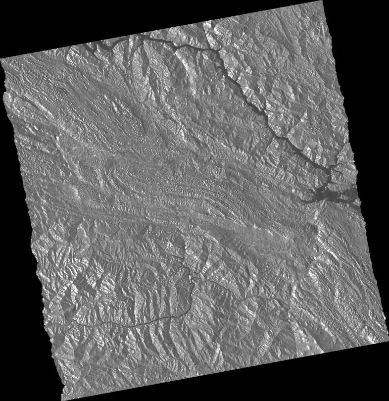
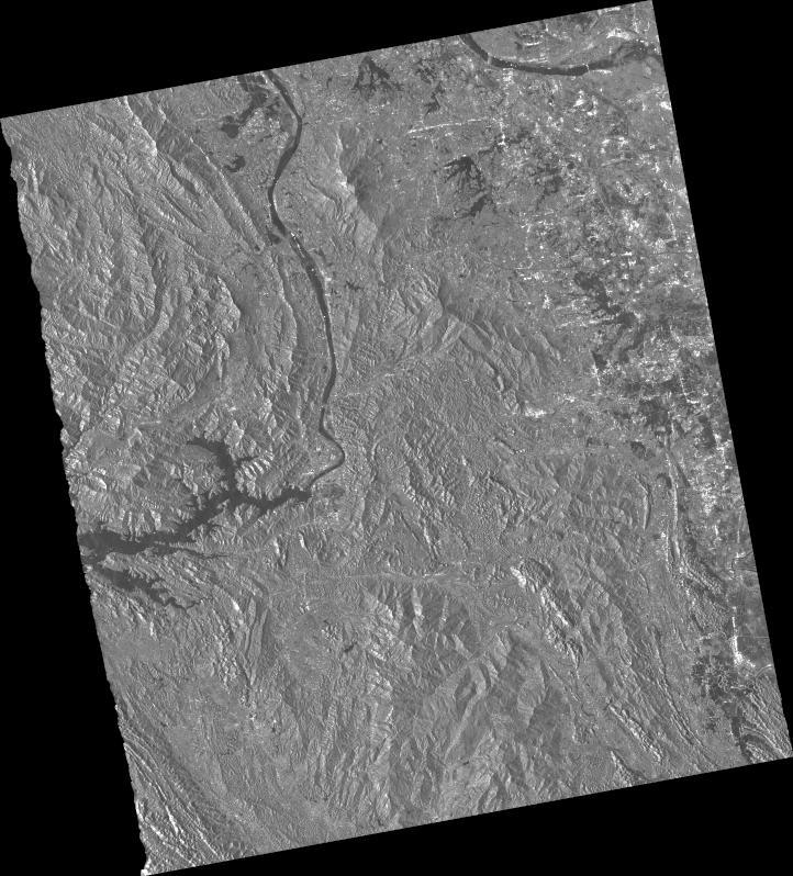
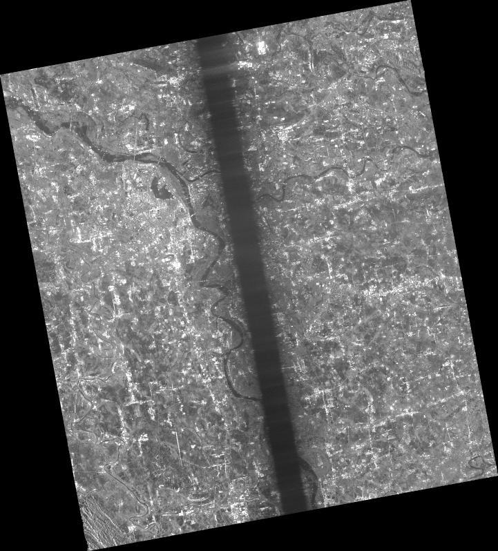
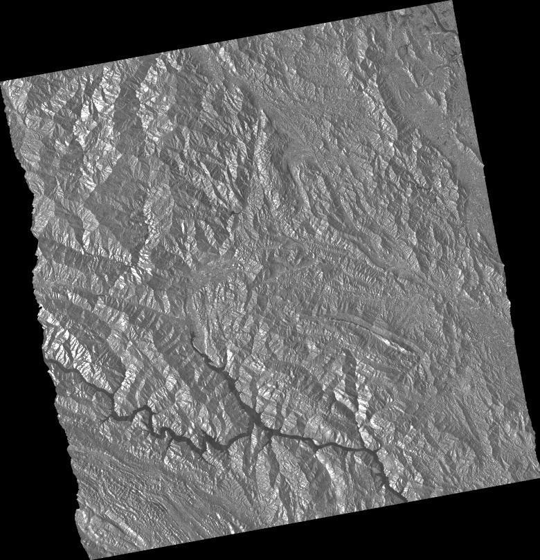
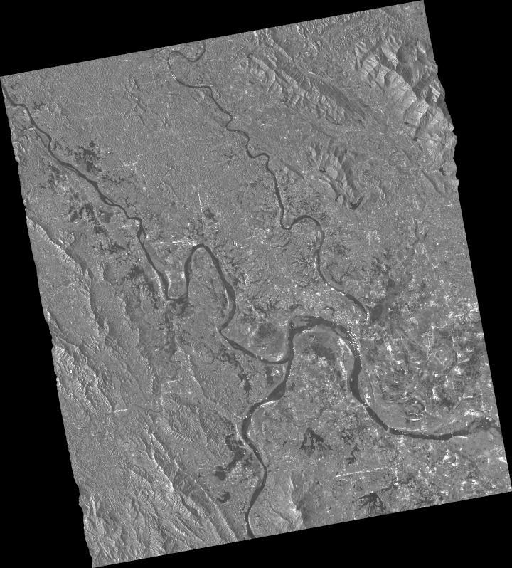
On September 13, a tropical depression directly affected the south-central and central coast region (or:the central region / Central Central Vietnam), causing torrential rain. By the evening of September 13, the tropical depression weakened into a low-pressure area over western Quảng Trị. The epicenter of the disaster was Quảng Trị – Huế, where 150–300 mm of rainfall was recorded within 24 hours; certain spots in Quảng Trị reached 480 mm, and Huế neared 400 mm. Accounting for the entire period from the evening of September 10 to the morning of September 14, Quảng Trị and Huế generally saw 400–600 mm; Tà Long (Quảng Trị) alone recorded 834 mm, and Bạch Mã (Huế) reached 1,308 mm.
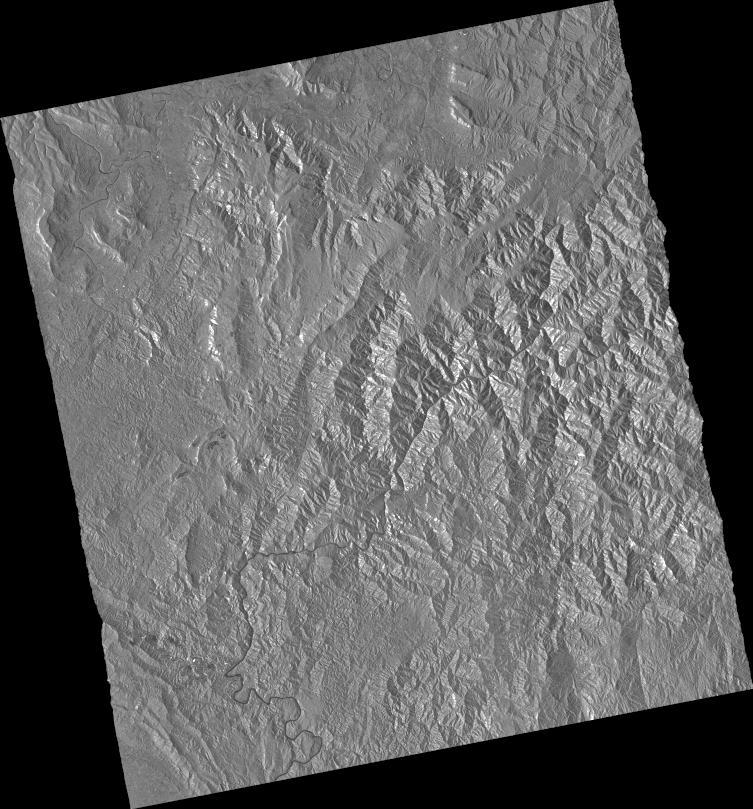
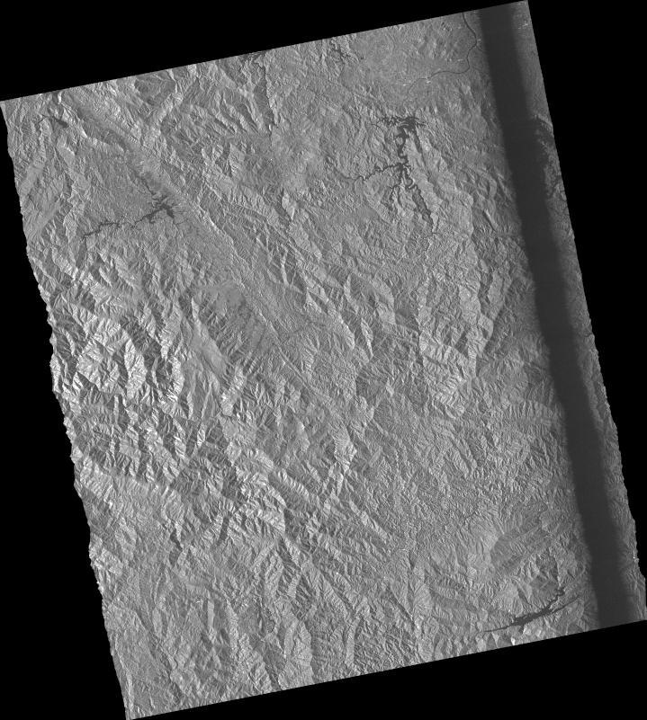
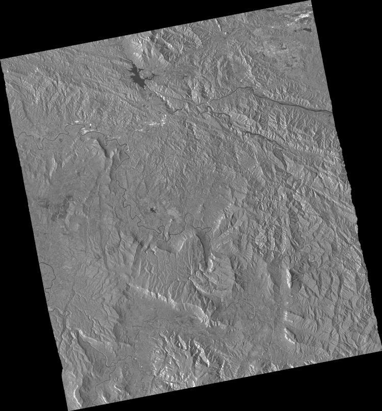
Quảng Trị is the locality suffering the heaviest impact. Many mountainous areas are flooded and cut off; water levels on multiple rivers have exceeded alarm thresholds. The Thạch Hãn River at times exceeded Alarm Level 2, then peaked at 6.39 m, about 0.39 m above Alarm Level 3. Many other rivers such as the Hiếu, Bến Hải, Kiến Giang, and Ô Lâu also exceeded Alarm Level 1. There are 19 locations on national highways and provincial roads affected by flooding that cause traffic blockages. 55 spillways, subterranean spillways, and inter-village roads are submerged by 0.2–0.8 m, with some places exceeding 1 m, causing localized isolation. In Lao Bảo Commune specifically, as the water level of the Sê Pôn River rose, local authorities evacuated 145 households comprising 470 people on September 13 itself.
Web GIS
-
Flood in Central Region, Vietnam on 13 September, 2026 see detail
-
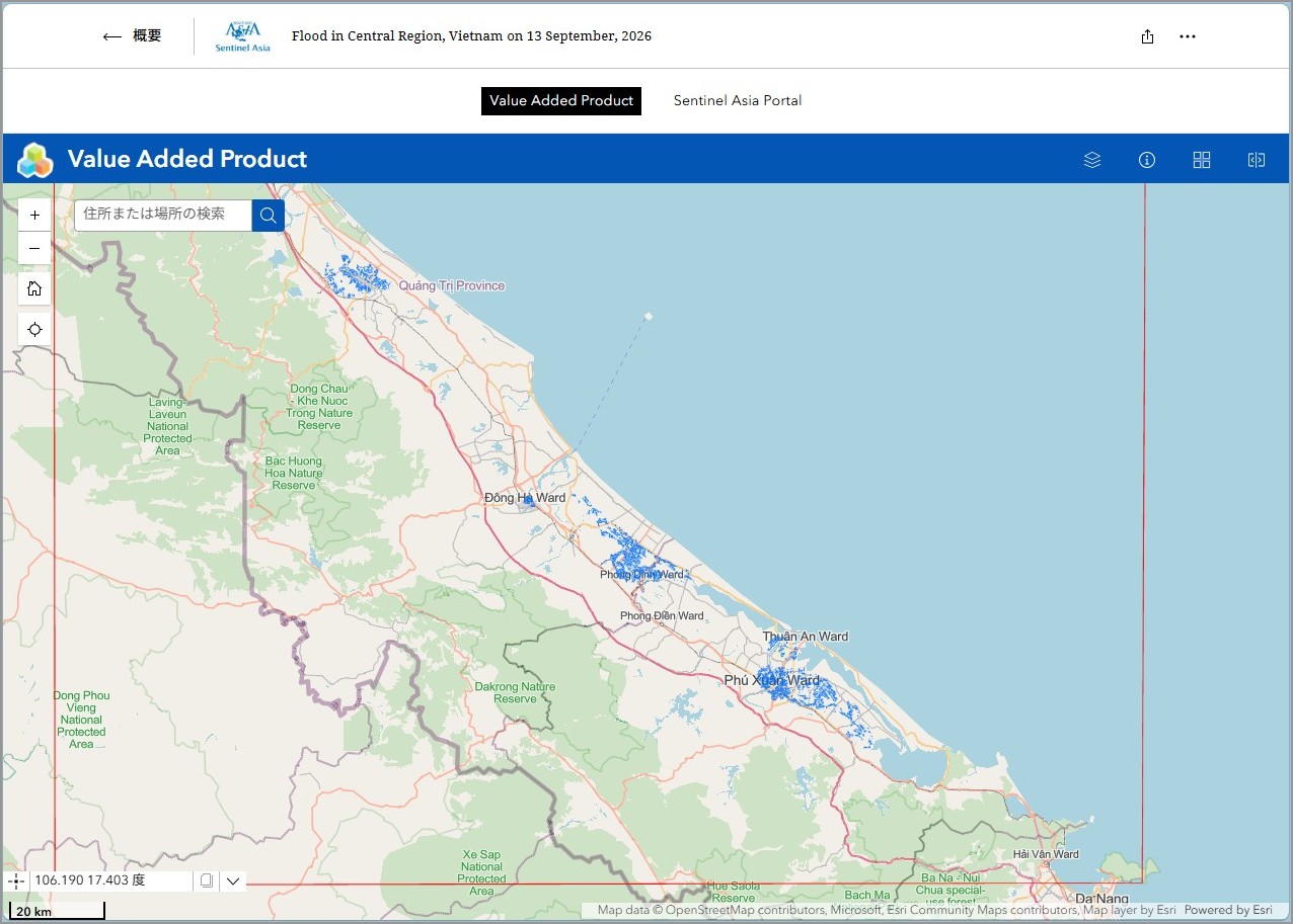
EOR requesters-only Web-GIS site (with satellite imagery)
see detail
The account will be sent to the EOR requester after Web GIS page is prepared.
If you are interested in to be a member of Sentinel Asia, please contact: z-sentinel.asia@ml.jaxa.jp