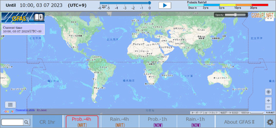
2.Global Flood Alert System-II (GFAS-II)
GFAS-II displays the global flood risk map with color coding based on rainfall probability using the Global Satellite Mapping of Precipitation GSMaP provided by JAXA. Provider of GFAS-II is Infrastructure Development Institute-JAPAN.
*From ![]() icon at the bottom right, you can change the language in English, German, Japanese, Myanmar, Spanish, and Vietnamese.
icon at the bottom right, you can change the language in English, German, Japanese, Myanmar, Spanish, and Vietnamese.
