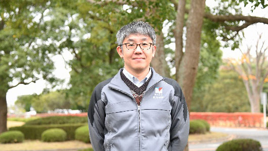
Dr. Hitoshi Taguchi,
National Research Institute for Earth Science and Disaster Resilience (NIED), Japan

- (see also: Dr. Taguchi’s presentation at JPTM6
( Interviewer: Tsugito Nagano, Sentinel Asia Secretariat / RESTEC )
- Would you please describe how NIED plans to make international contributions as well as its basic policies?
“First of all, as a base of activities of NIED, we set an objective to realize evacuation and recovery as quickly as possible when responding to natural disasters along with the identity of NIED “Science for Resilience” by producing informational products utilizing geospatial information. In this context, we recognize the importance of map and the satellite data among the information that could be utilized together. “In the Mid-term Plan started 2016, promotion of global cooperation to return the knowledge obtained back to the international society was incorporated, and NIED joined Sentinel Asia as a JPT member in the same year.”
- What was your motivation to become a DAN and what are your ambitions?
“In accordance with our Mid-term Plan, we have started the utilization of geospatial data on top of GIS over the past few years. In line with this Mid-term Plan, we would like to develop analysis technology for applying satellite data into product. This is why we made an application to be a DAN member. As one of our immediate targets, we aim at offering governmental agencies some sample applications made for initial response to domestic disasters by reviewing satellite data that have not yet been utilized. In the future, we hope to support Sentinel Asia members in foreign countries as well with our research results and analytical techniques acquired through our activities targeted for Japan.
- Would you please tell us disaster types which specifically interest you in supporting as a DAN?
“At the moment, it is unlikely that we would focus only on specific disaster types because the most important point is to offer the subject of decision-making. Rather, we are interested in comparing pre- and post- disaster stages by integrating satellite data and other data. Speaking of our experience, in 2019, we created a product that estimated damages of an urban area by extracting flooded areas and then overlaying data on buildings. In Japan, although data on damage after a disaster are published, with conventional methods, damage figures often change significantly between immediately after a disaster and a month after it occurs, for example. However, by combining satellite data and map information, we can fill in the gaps. Also, the combined information derived from satellite data and map can be used to focus on identifying further risks. We are going to establish these procedures first in Japan, and then would like to apply them to overseas cases. We believe that in this way we can support Sentinel Asia colleagues.
- What would you see the ultimate goal of NIED?
“Creating products to provide information is only a process. It is not just a matter of technological development, and only when the system takes root in society is it considered an achievement.”
- Oher than providing products, what would you like to contribute as DAN of Sentinel Asia?
“I hope to contribute to Sentinel Asia by deepening exchanges with JPT members in Japan and abroad, drawing on our experience of working with domestic and international organizations.”
- How can Sentinel Asia contribute to your research activities at NIED?
“I expect that Sentinel Asia can strengthen the flow through which foreign satellite data will be used for disasters in Japan.”
- Thank you very much.