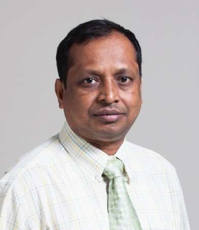
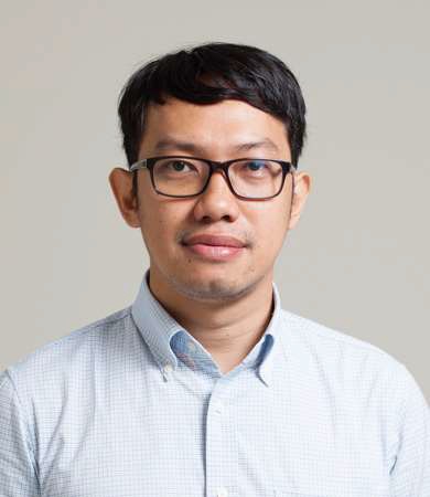
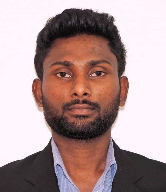
Dr. Manzul Kumar Hazarika, Mr. Syams Nashrrullah, and Mr. Chathumal Madhuranga (GIC-AIT)
The Geoinformatics Center of the Asian Institute of Technology (GIC-AIT) is one of the founding members of Sentinel Asia and has worked as one of the leading Data Analysis Node (DAN) members. It has been providing Value-Added Products (VAPs) in response to Sentinel Asia’s Emergency Observation Requests (EORs). It also provides valuable inputs to Sentinel Asia in addition to working as Project Manager (PM) when an EOR is escalated to the Disasters Charter. The Sentinel Asia secretariat interviewed GIC-AIT regarding their past and future contributions to Sentinel Asia.
 |
 |
 |
| Dr. Manzul Kumar Hazarika Director, Geoinformatics Center |
Mr. Syams Nashrrullah Program Officer/Team Leader |
Mr. Chathumal Madhuranga Research Associate |
Sentinel Asia Secretariat
GIC-AIT is one of the founding members of Sentinel Asia and continues to contribute to disaster monitoring in the Asia-Pacific region. As an academic institution, could you explain the motivation behind your contribution to Sentinel Asia?
Dr. Manzul Kumar Hazarika
First of all, GIC-AIT has been partnering with JAXA since 1997 to build capacity on applications of satellite data in Asia and the Pacific region. Prior to the launch of Sentinel Asia in 2006, GIC-AIT had a good network of organizations and professionals in the region.
Accordingly, GIC-AIT was in an advantageous position to introduce these organizations and professionals to Sentinel Asia from the region.
Disaster Management being one of the major portfolios of GIC-AIT, naturally, GIC-AIT was excited when Sentinel Asia was established, and since then, it has been contributing continuously to the disaster response activities in the region.
Sentinel Asia Secretariat
The Sentinel Asia Secretariat very much appreciates your contribution, including responding to disasters as a Principal Data Analysis Node (P-DAN) and PM when EORs are escalated to the Disasters Charter, negotiating the related institutions, and producing Value-Added Products (VAPs). Could you list some cases that left a strong impression and/or made a significant contribution to the disaster-affected countries/regions?
Dr. Manzul Kumar Hazarika
GIC-AIT has been contributing to the response to about 20 disasters per year through Sentinel Asia and the International Disaster Charter for more than a decade. One of its greatest contributions was the response to the earthquake and tsunami in Sulawesi in Indonesia in 2018. This was a rare opportunity for GIC-AIT to send a team to the ground within a week of the disaster to conduct ground verifications. We visited hundreds of locations and took more than 400 photographs in collaboration with Indonesian agencies and institutes. The developed VAPs were extensively used by the local administration, government agencies, and even donors to assess the extent of the damage. We still have a dedicated website where all these products can be accessed.
In another case, GIC-AIT contributed immensely to the response to the flood disaster in Sri Lanka in 2017, which affected nearly half of the country, including Colombo, by combining information regarding the extent of flooding derived from the satellite data with crowdsourced data from the ground through a mobile application and compiling them into a Web-based Geographic Information System (WebGIS) platform for wider dissemination. It was very successful.
Sentinel Asia Secretariat
Did you have any direct communication with the local governments in the countries?
Dr. Manzul Kumar Hazarika
Yes. GIC-AIT is in an advantageous position than other organizations in the region because we work very closely with national agencies from the south and south-east Asian countries. Whenever they need help, we are always there to assist to develop value-added products. We have direct communication as well as a good working relationship with them. Providing data or value-added products is not sufficient, and it is essential to get ground information for validating the products. That is important, and this can be accomplished only by working with national agencies.
Mr. Syams Nashrrullah
Just to add to the earthquake case in Sulawesi, the value-added products developed by AIT and other international agencies were used for emergency response by the local government agencies, but thereafter, some of these products are being used for reconstruction monitoring.
Sentinel Asia Secretariat
You have produced many VAPs that clearly show the damage situation. Could you tell us about some key points that have been devised or emphasized in producing VAPs and analyzing data?
Dr. Manzul Kumar Hazarika
One of the essential aspects of producing useful VAPs is to combine information on the disaster-affected areas derived from the satellite data with the building and infrastructure data layers available in open source. This improves the usability of the VAPs.
We have also developed Standard Operating Procedures (SOPs) for efficiently processing optical and SAR data, and some of them are specific to particular hazards. This has improved our response time as well as the quality of VAPs. GIC-AIT can now produce the first product within 24 hours of acquiring data by a satellite.
Mr. Chathumal Madhuranga
One of our key ideas is to identify the extent of a disaster. We mainly focus on data available through the Sentinel Asia community, but sometimes we have difficulties in producing good quality VAPs using a limited number of datasets. As Dr. Manzul mentioned above, we use open-source data such as Sentinel-1 and Sentinel-2 images to dynamically identify a disaster's extent through time series analysis.
Sentinel Asia Secretariat
GIC-AIT has developed a mobile application called “Disaster Survey” to monitor and collect information on disaster extent and damage. This application has been incorporated into SOPs that were established with Myanmar, Thailand, and Vietnam last year. Could you explain its efficiency and value?
(*Note from the Secretariat: SOPs mentioned here are for making EORs from certain parts of affected countries and regions, which are different from SOPs for making VAPs from the part of AIT as mentioned in the previous question.)
Dr. Manzul Kumar Hazarika
The simplicity of this mobile app is one of the advantages, and it is easily accessible for wider use. The mobile app was successfully used during the recent floods in Thailand, and it will be promoted for wider use among the Sentinel Asia member countries. The collection of real-time ground data through the mobile app provides the necessary information for validation of satellite data-derived disaster extent and damage.
Mr. Chathumal Madhuranga
The mobile app can be accessed through a web link, and no downloading is required.
Dr. Manzul Kumar Hazarika
As I mentioned earlier, ground data are very important for the validation of VAPs. With the mobile app, we can secure in-situ data without going to the field by ourselves.
Mr. Chathumal Madhuranga
The mobile app is very simple and easy to use. We are now trying our best to introduce the app to the Sentinel Asia community through online training opportunities, and the feedback from the participants is quite encouraging. We hope we can acquire more ground information during disasters so that we can make it more accurate and reliable VAPs.
Sentinel Asia Secretariat
What difficulties have you faced in introducing the app to users?
Mr. Chathumal Madhuranga
To get actual ground information, people have to go to disaster-affected areas. In the case of a recent flood in Thailand, we conducted field testing of the mobile app, and it worked well. We expect that in the future, the general public will take advantage of the mobile app and provide us the ground information.
Sentinel Asia Secretariat
What do you envision for Sentinel Asia to further contribute to disaster management activities in the Asia-Pacific region, and what advice or recommendations regarding such activities do you have based on past experiences and lessons learned?
Dr. Manzul Kumar Hazarika
In order to build confidence among the users in the quality and reliability of the VAPs, it is important to promote the mobile app for ground data collection, and wherever possible, ground-truth collection missions should be conducted in the case of major disasters. As for this mobile app, we are currently promoting it among the Sentinel Asia member organizations only. However, in the future, we would like to see that it is used by the public. This will facilitate capturing much more information from the ground to further improve the quality of the valueadded products.
Participation of local agencies also should be encouraged in data processing, using the mobile app, and conducting field campaigns for ground-truth collection. Everybody is busy when a disaster strikes, and the national disaster management agencies get too busy to process remote sensing data to develop VAPs. In order to address this issue, organizations and institutions other than disaster management agencies should be encouraged to develop VAPs.
Further, in order to improve the accessibility and data processing time, cloud-based data processing and machine learning should be explored.