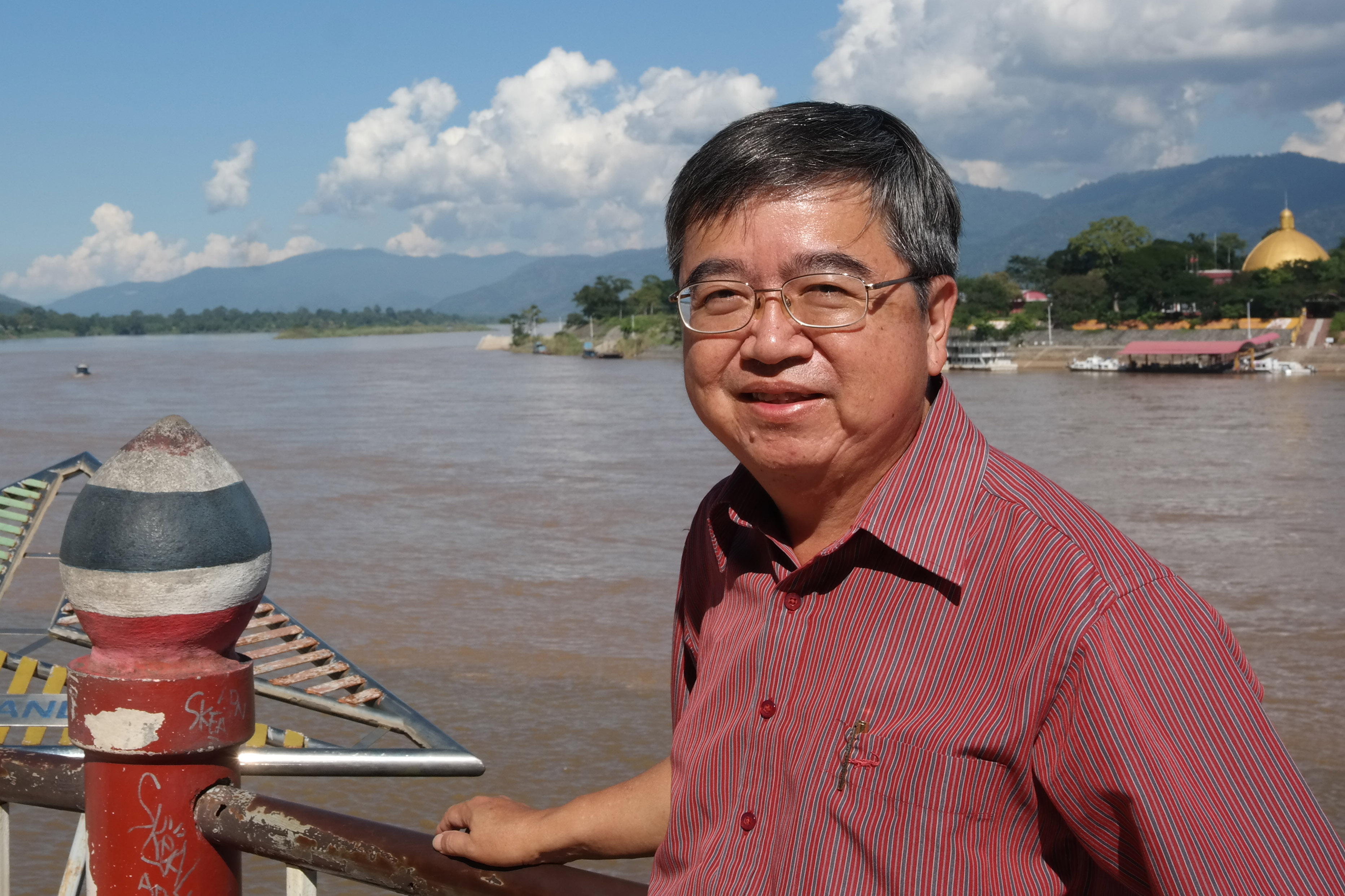
Mr. KWOH Leong Keong, Director,
CRISP:
- Could you tell us about CRISP's and Singapore's recent situation of using EO satellites for Disaster Risk Reduction?
Mr. KWOH
We do not have many natural disasters in our country. Singapore is located near the equator and that is why we are not affected by natural disasters such as Typhoon. We are also far from the earthquake and volcanoe zones. However, we are interested in supporting disasters management in the countries around Singapore. We would like to help our neighbors out. One example of disaster we observed was an eruption of Mt. Merapi in Indonesia. One disaster of concern to Singapore is the forest fires in Southeast Asia. The haze and PM2.5 created by the fires may travel to Singapore, affecting the air quality and causing economic and health problems.
- What was your motivation to become a DAN and what are your ambitions?
“In accordance with our Mid-term Plan, we have started the utilization of geospatial data on top of GIS over the past few years. In line with this Mid-term Plan, we would like to develop analysis technology for applying satellite data into product. This is why we made an application to be a DAN member. As one of our immediate targets, we aim at offering governmental agencies some sample applications made for initial response to domestic disasters by reviewing satellite data that have not yet been utilized. In the future, we hope to support Sentinel Asia members in foreign countries as well with our research results and analytical techniques acquired through our activities targeted for Japan.
- TeLEOS-1 has been recently registered as part of Sentinel Asia’s constellation. Could you tell us about the satellite?
We do not have a space agency in our country. For our venture into space, our Government’s approach is to encourage local private companies to fund and build the satellite. TeLEOS-1 is an example of such approached. It was built and launched in 2015 by private sector. Since it is private, the satellite is available for us only when they are not using it and we must receive approval from them to use the data for disaster monitoring. Our government, of course, did fund a portion of the satellite, so they can use the data. As a first step, we hope to contribute to Sentinel Asia by capturing images for emergency observation. We will be using our Government share of the access to the satellite to service the emergency observation requests.
- Right after CRISP offered to register TELEOS-1 as part of Sentinel Asia’s constellation, CRISP provided TELEOS-1 images in response to the Emergency Observation Request regarding floods in Sulawesi, Indonesia that occurred in July. Notably, the TELEOS-1 images contributed to detecting estimated inundation areas. Could we ask for your remarks on that?
We are very happy to be able to use Singapore satellite TeLEOS-1 to successfully image the July flood in Sulawesi, Indonesia. This is the first time we are using this satellite to respond to the EOR. I hope users will find this data useful and I look forward to doing more imaging for Sentinel Asia’s EOR in the coming years.
- We assume that the members of Sentinel Asia would appreciate further contribution from CRISP for disaster monitoring.
We are happy to contribute more to Sentinel Asia with our satellite. Getting approval to use the data is the first step. However, I should mention the orbit of TeLEOS-1is with low inclination and range is limited within 15 degrees latitude in North and South. Everything has just started, so we hope to provide the community with more images in the future with this approval to use the Satellite to support Sentinel Asia.
- What does CRISP expect from Sentinel Asia?
Sentinel Asia has been recognized as a main initiative for disasters response in the Asia-Pacific region, and I think Sentinel Asia is good program to coordinate satellite imaging of natural disasters and sharing with affected countries.
As I said, Singapore has been spared from disasters and our interest in disaster management is aligned with the context of the regional collaboration. In this regard, I think Sentinel Asia’s status as an initiative under APRSAF is quite appropriate.