-
2022
-
2019
-
2016
-
2015
-
2013
-
2011
-
2010
-
2008
-
2007
-
2006
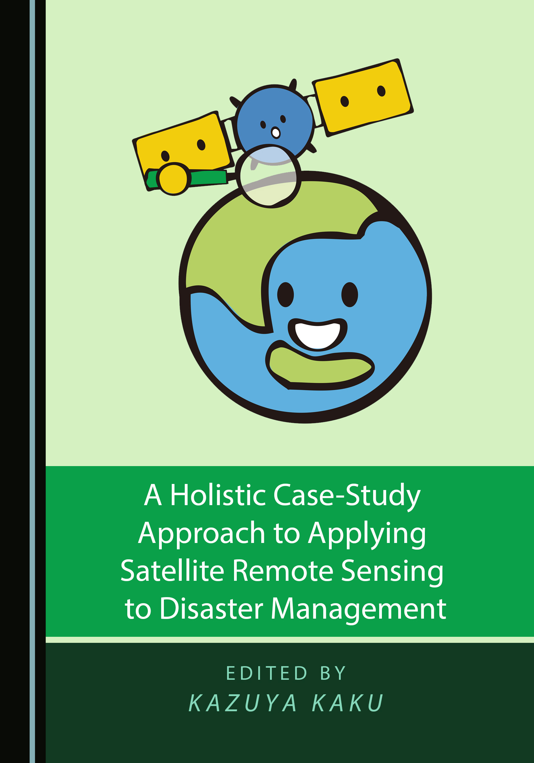
A Holistic Case-Study Approach to Applying Satellite Remote Sensing to Disaster Management
Multi-Source Data Fusion Based on Ensemble Learning for Rapid Building Damage Mapping during the 2018 Sulawesi Earthquake and Tsunami in Palu, Indonesia
Satellite remote sensing for disaster management support: A holistic and staged approach based on case studies in Sentinel Asia (pp.417–432.)
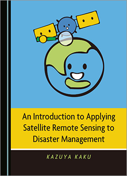
An Introduction to Applying Satellite Remote Sensing to Disaster Management (pp. 315)
Global trends in satellite-based emergency mapping, Science (pp. 247–252.)
Space-based response to the 2011 Great East Japan Earthquake: Lessons learnt from JAXA’s support using earth observation satellites (pp. 134–153. )
Sentinel Asia: A space-based disaster management support system in the Asia-Pacific region (pp. 1–17.)
Sentinel Asia – space and ICT technologies towards disaster risk reduction across the Asia-Pacific region (pp. 123–126.)
Sentinel Asia Step2 – the Overview and Evolution from Step1 (pp. 56–61.)
Sentinel Asia – the next step (pp. 183-186.)
Sentinel Asia: supporting disaster management in the Asia-Pacific region (pp. 174-176.)
Sentinel Asia initiative for disaster management support in the Asia-Pacific region