2021-12-04
Emergency Obs. Request Information
- Disaster Type: Volcano eruption
- Country/Region: Indonesia
- Occurrence Date (UTC): 04 December, 2021
- SA activation Date(UTC): 07 December, 2021
- Requester: Japan International Cooperation Agency (JICA)
- Escalation to the International Charter: Yes
- GLIDE Number: VO-2021-000194-IDN
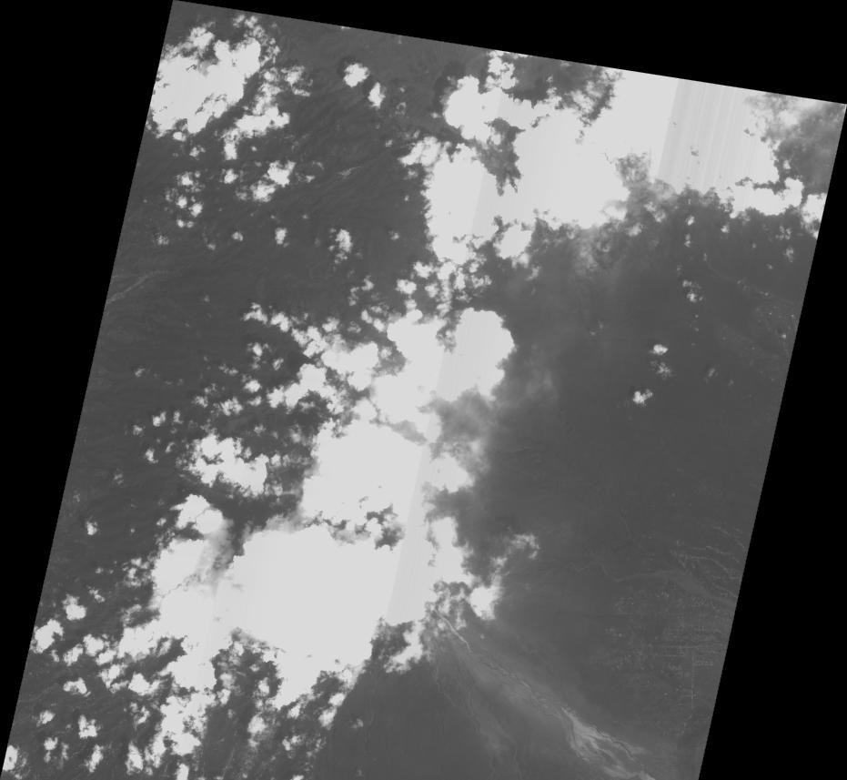
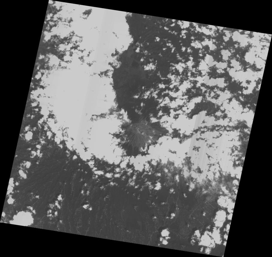
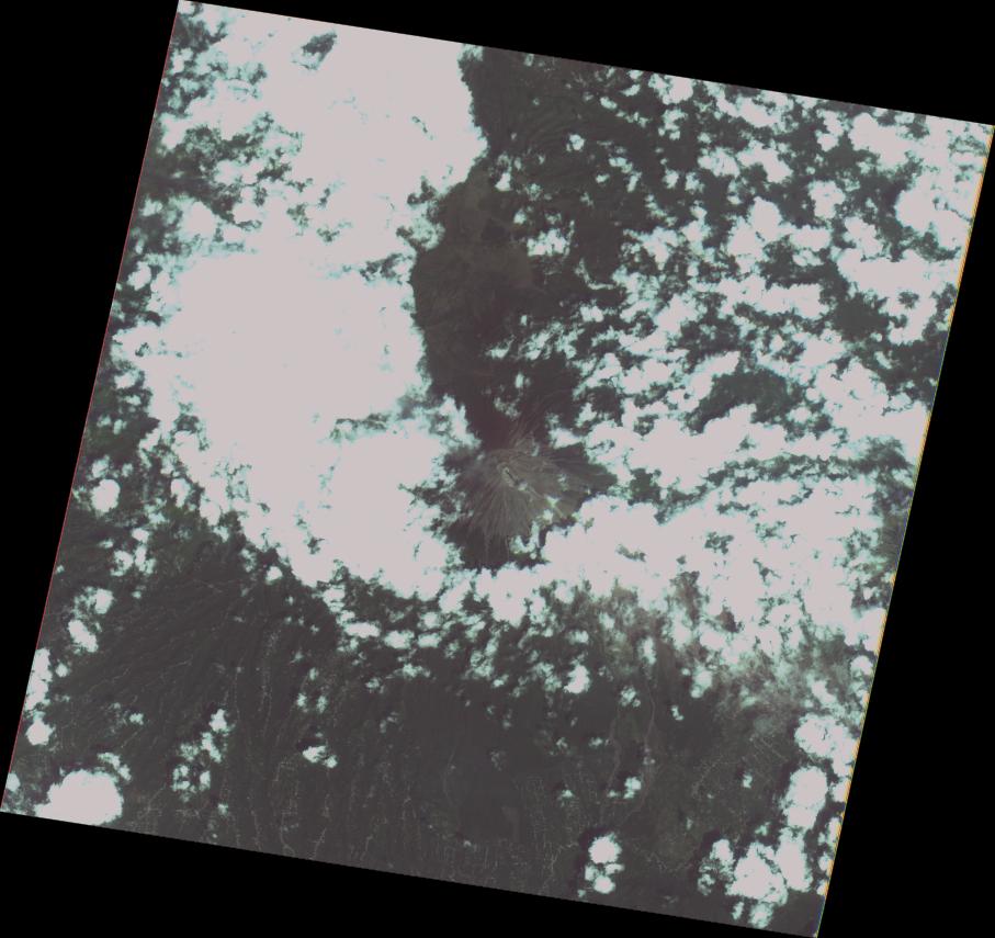
Disaster Situation
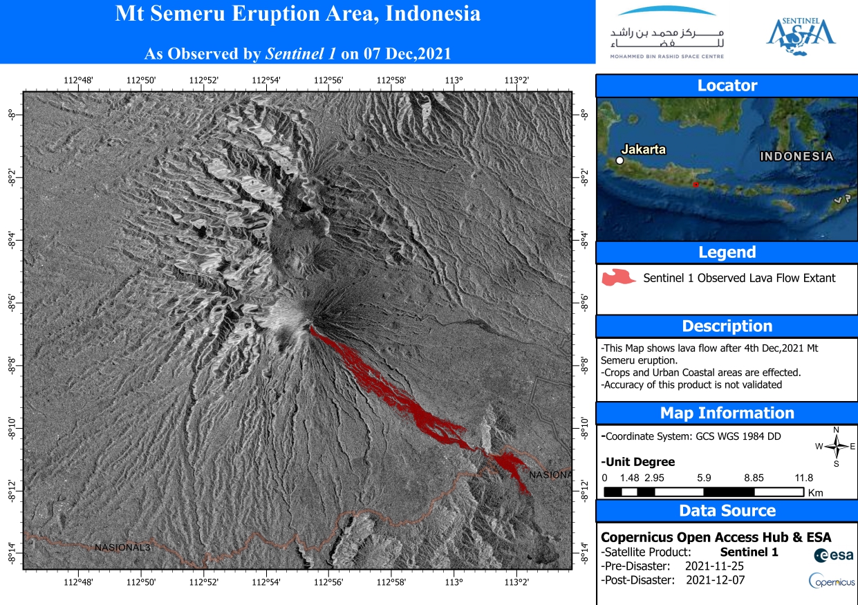
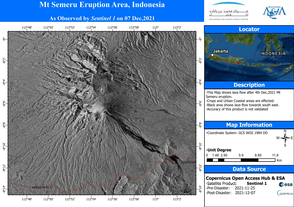
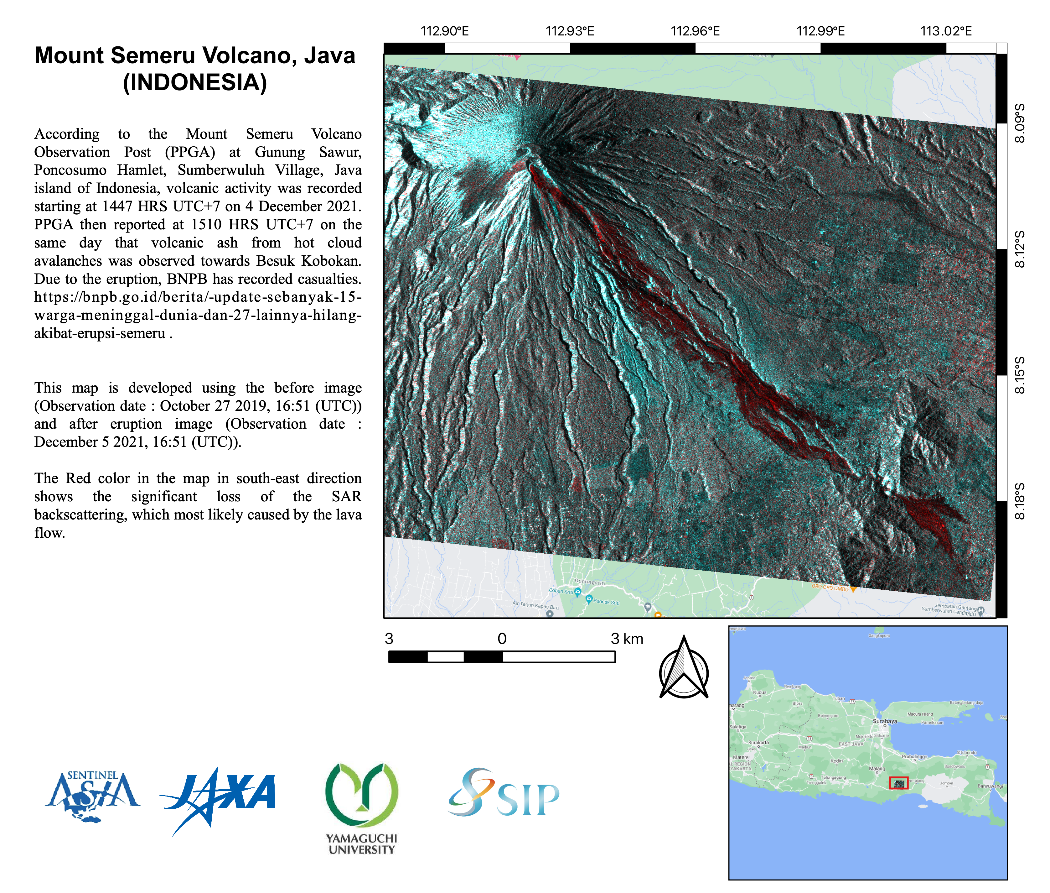
According to the Mount Semeru Volcano Observation Post (PPGA) at Gunung Sawur, Poncosumo Hamlet, Sumberwuluh Village, Java island of Indonesia, volcanic activity was recorded starting at 1447 HRS UTC+7 on 4 December 2021. PPGA then reported at 1510 HRS UTC+7 on the same day that volcanic ash from hot cloud avalanches was observed towards Besuk Kobokan. Due to the eruption, BNPB has recorded casualties.
https://bnpb.go.id/berita/-update-sebanyak-15-warga-meninggal-dunia-dan-27-lainnya-hilang-akibat-erupsi-semeru
Product
EOS
2021-12-05
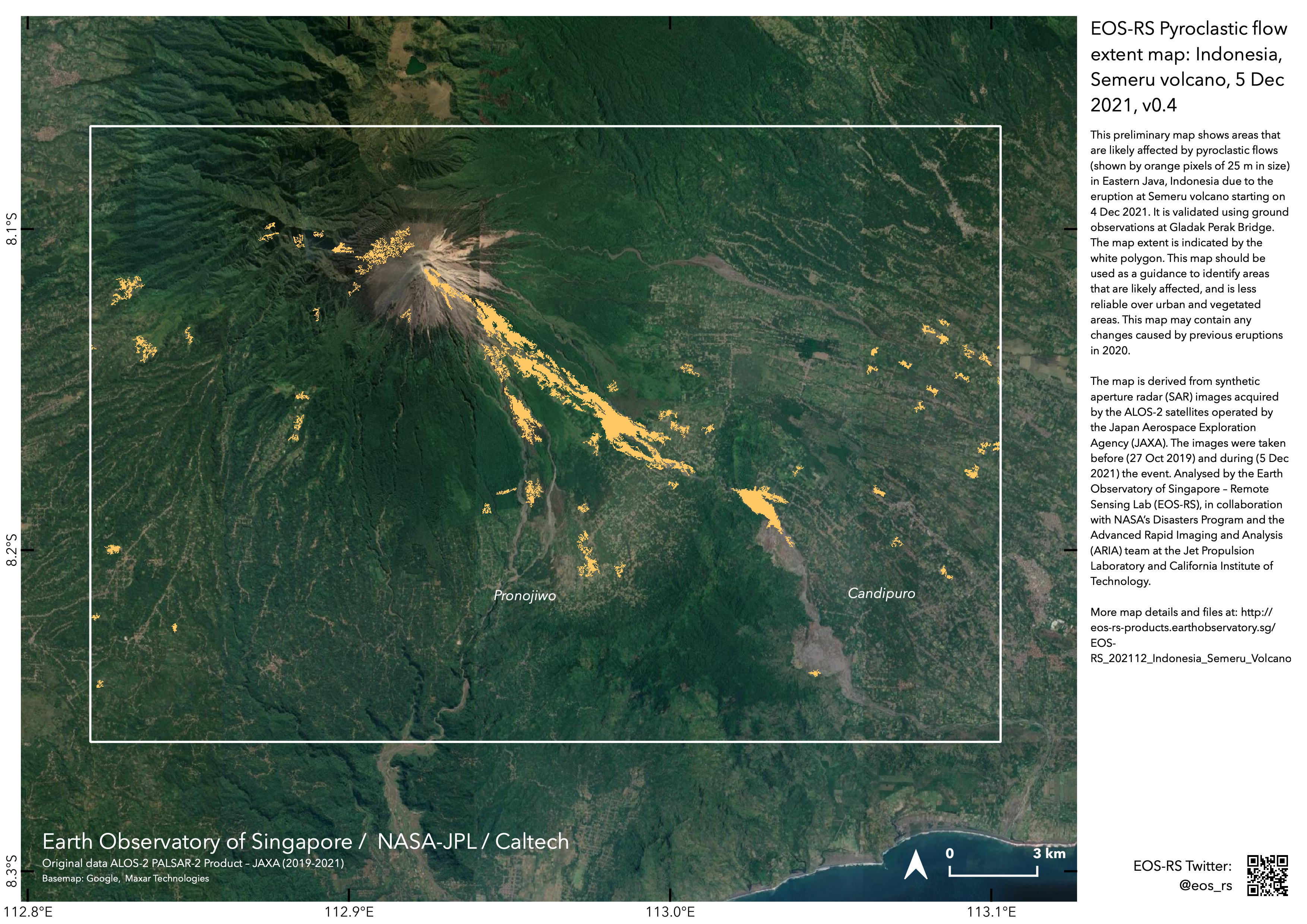
EOS-RS Pyroclastic flow extent map: Indonesia, Semeru volcano, 5 Dec 2021, v0.4
MBRSC
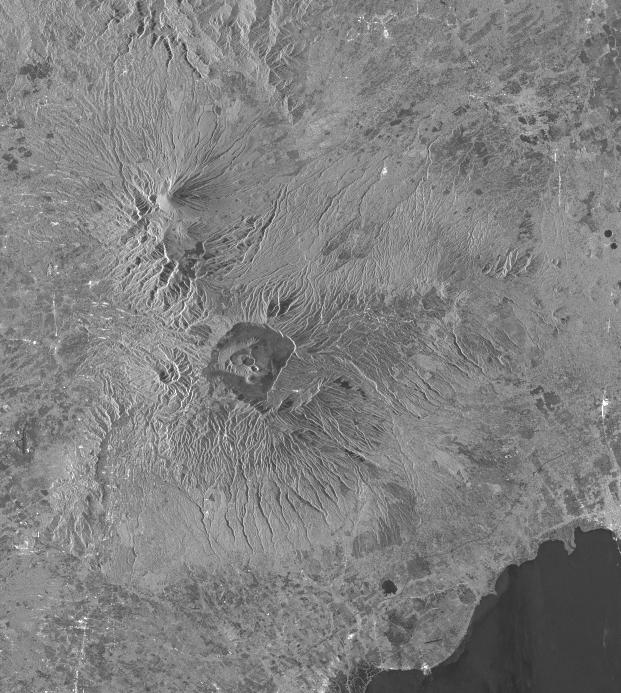
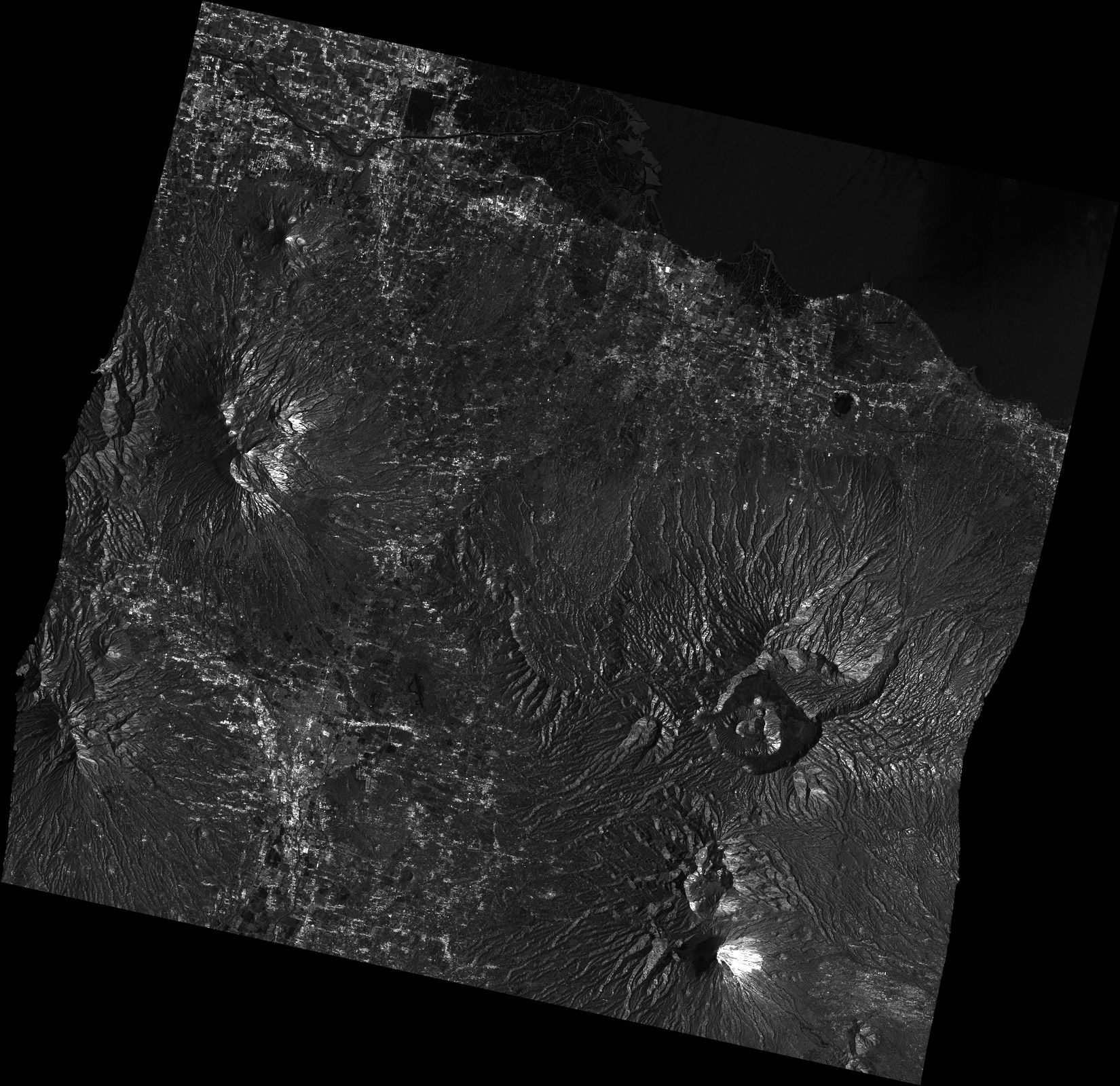
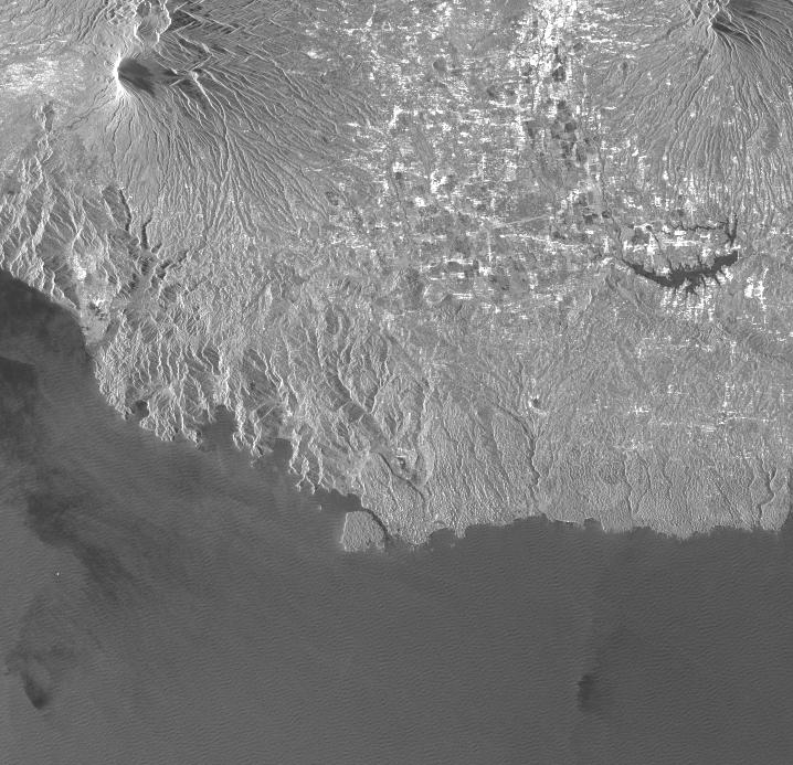
2021-12-16
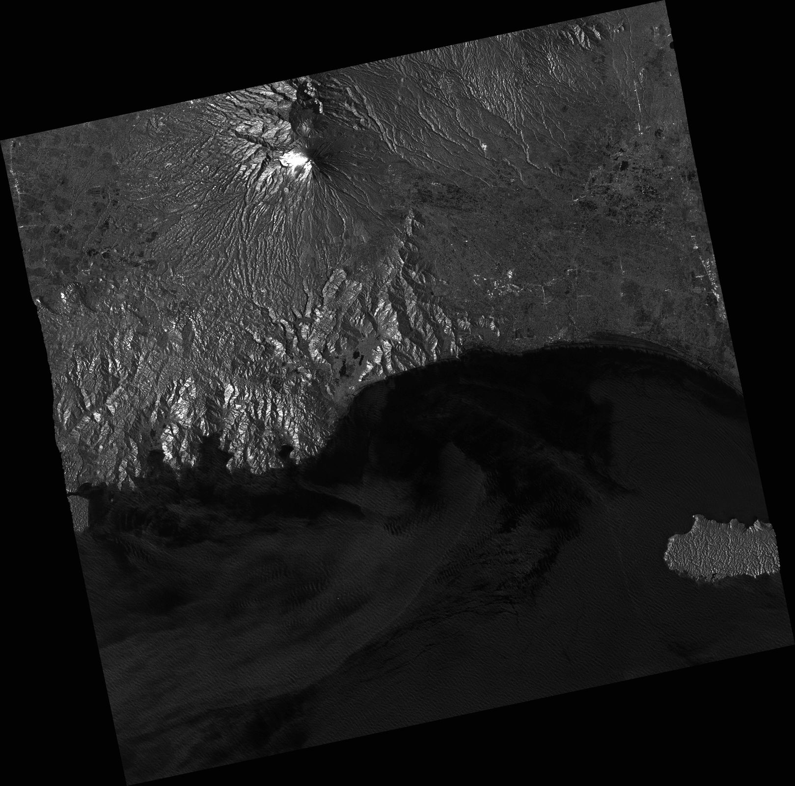
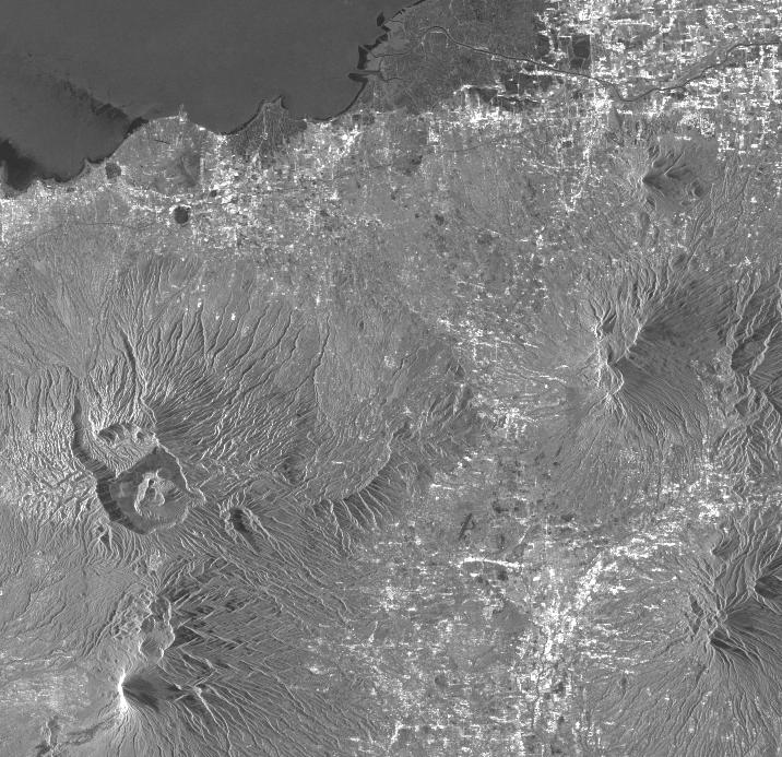
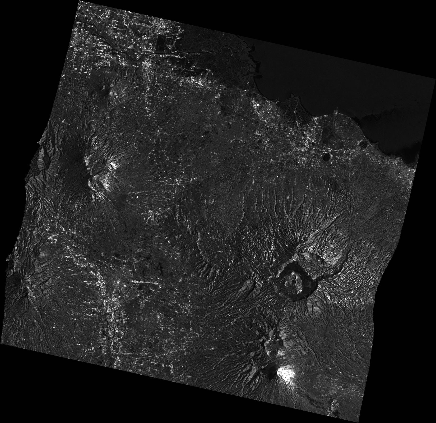
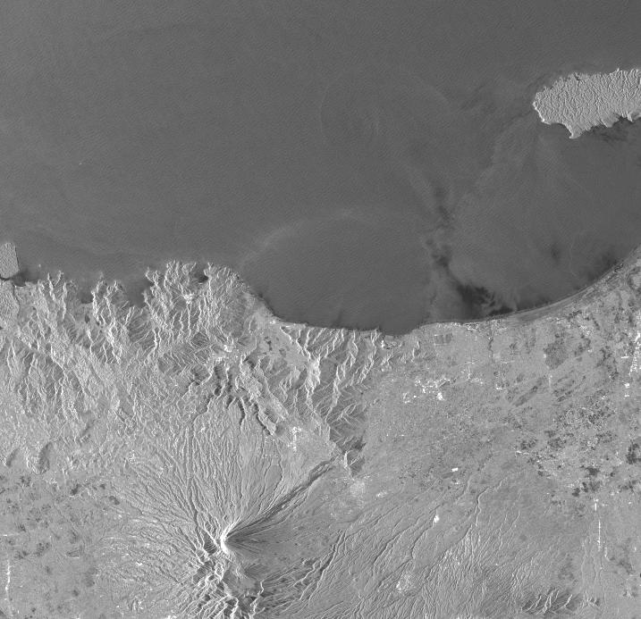
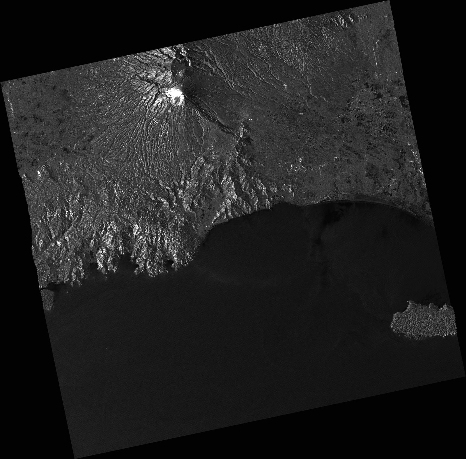
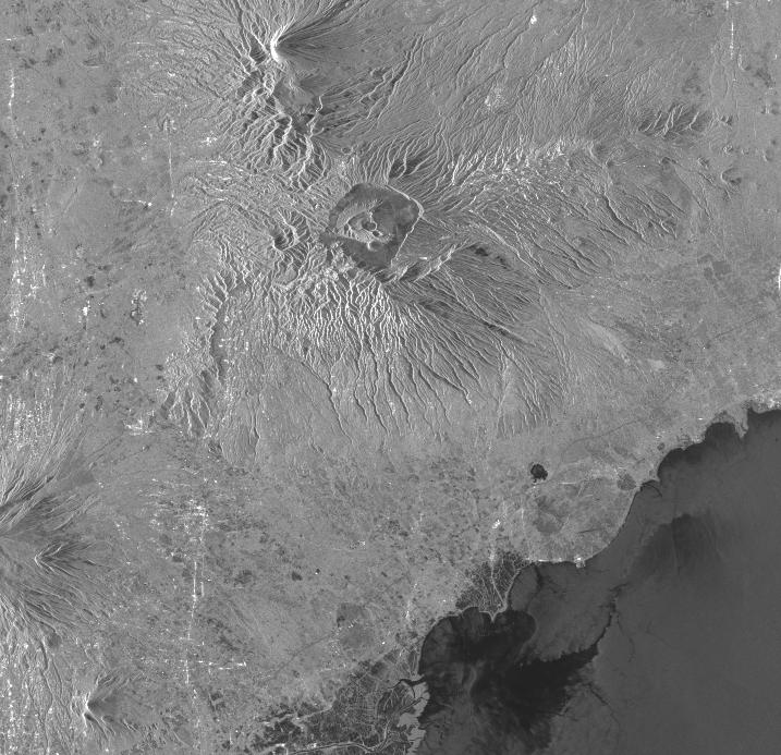
Mt. Semeru Eruption Area, Indonesia As Observed by Sentinel 1 on 07 Dec,2021
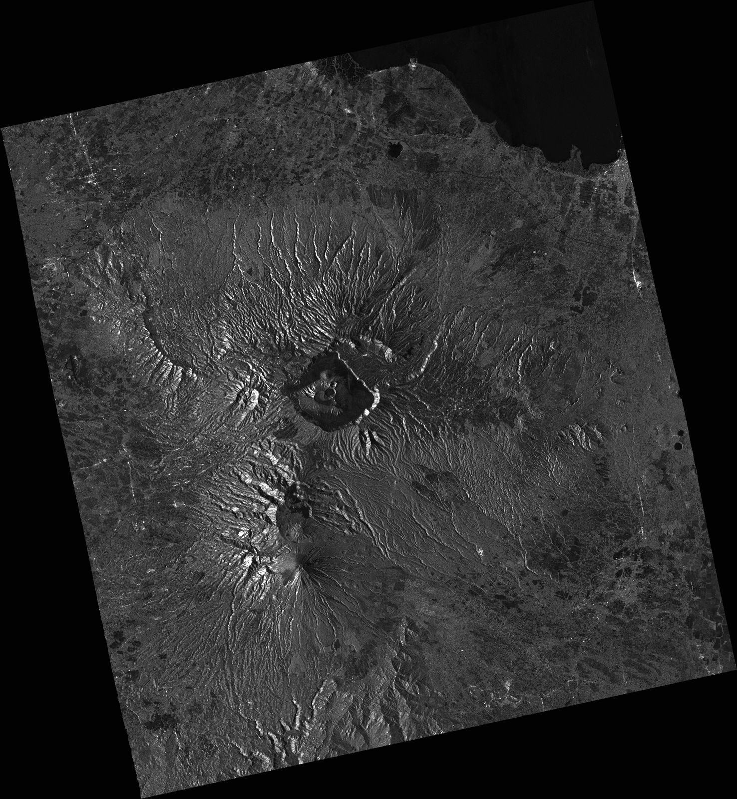
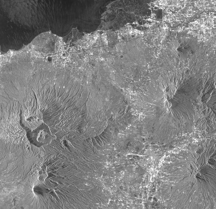
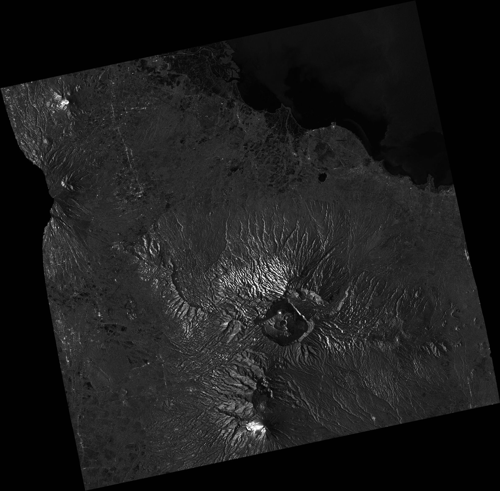
2021-12-16
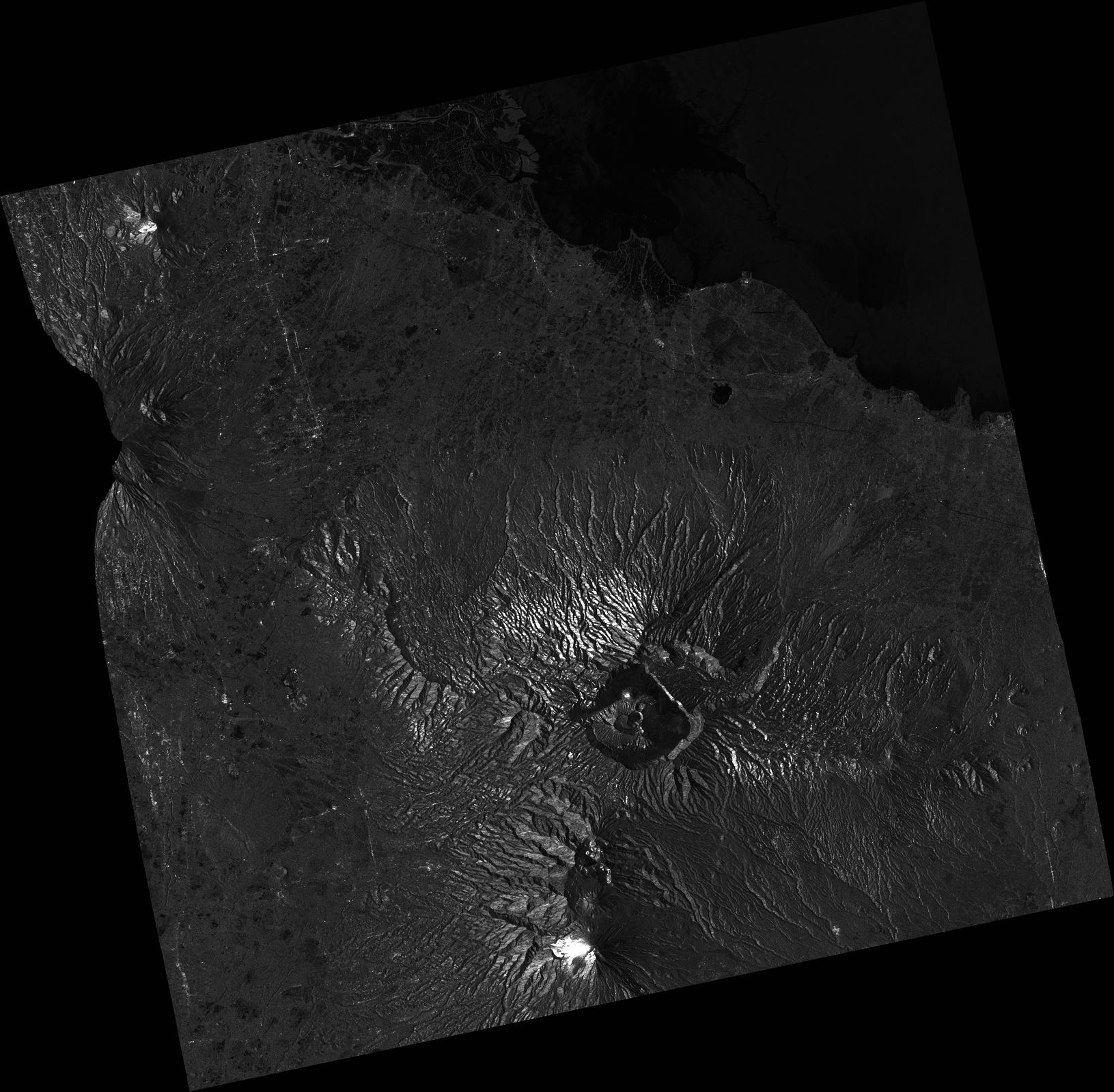
Mt. Semeru Eruption Area, Indonesia As Observed by Sentinel 1 on 07 Dec,2021
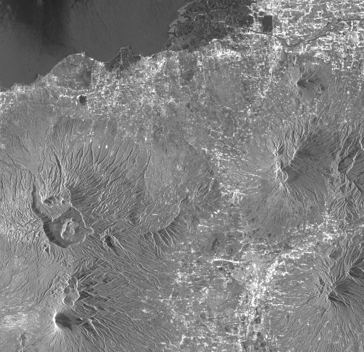
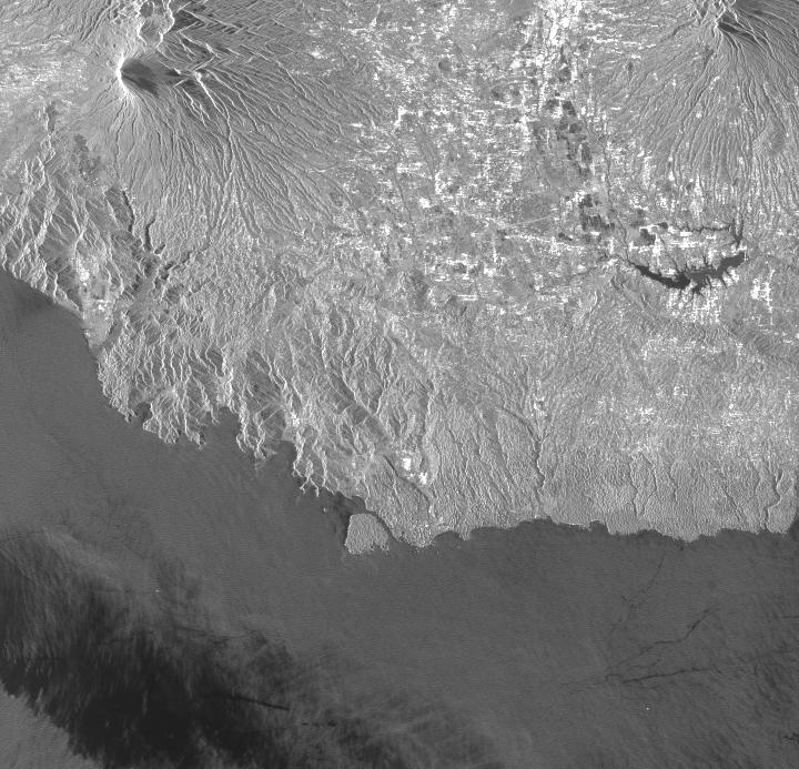
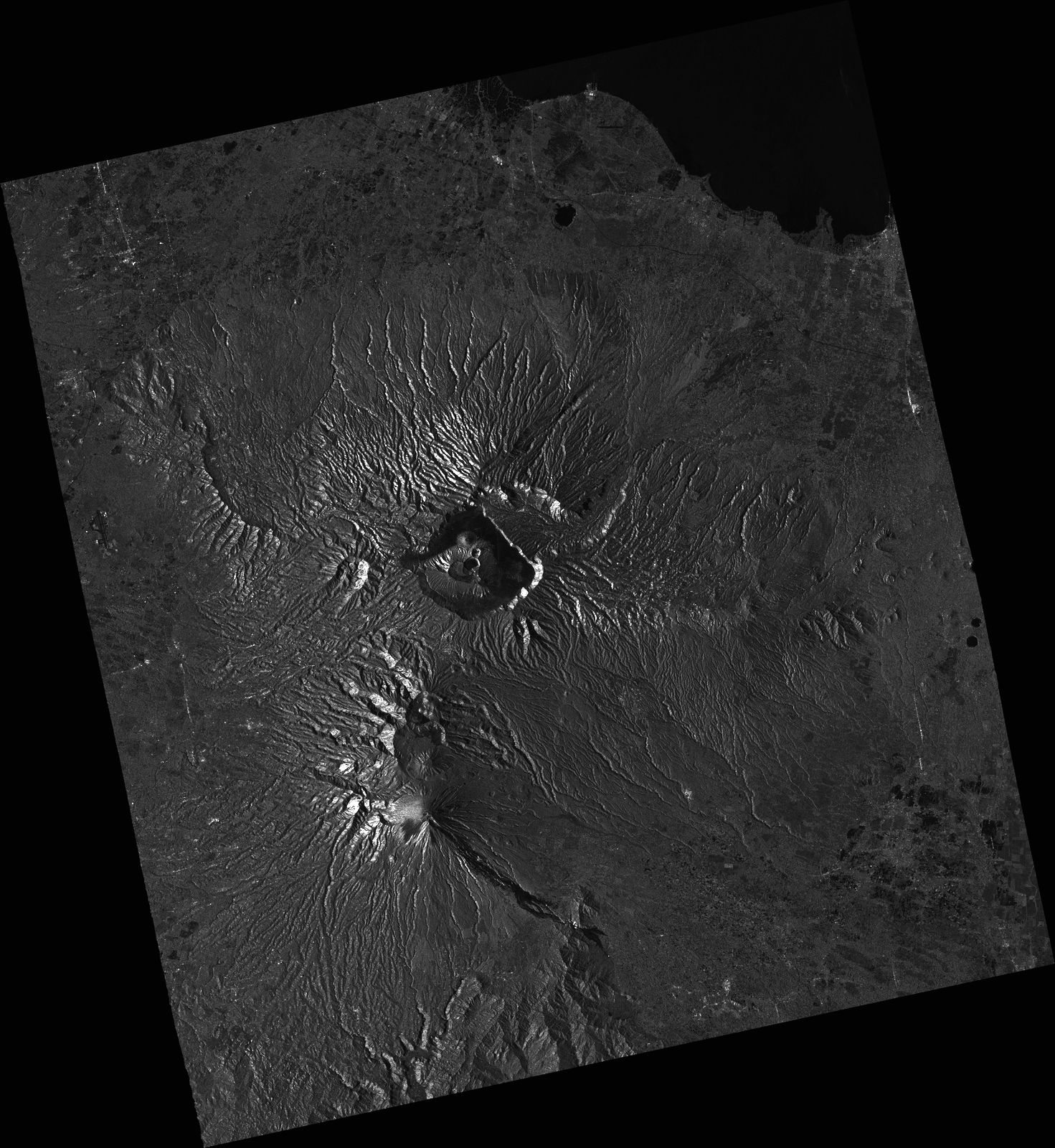
2021-12-16
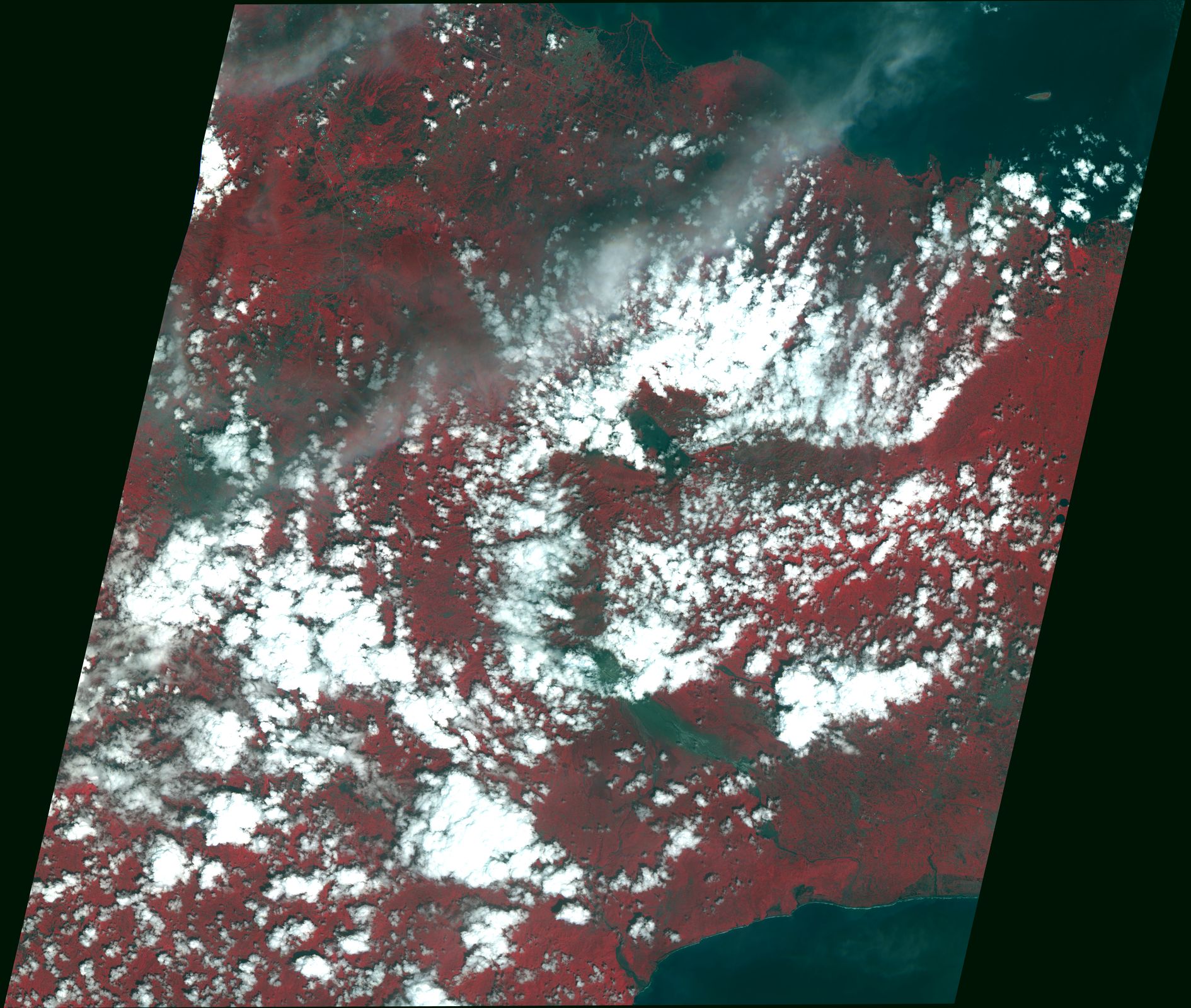
Mt. Semeru Eruption Area, Indonesia As Observed by Sentinel 1 on 07 Dec,2021
Yamaguchi-U
Web GIS
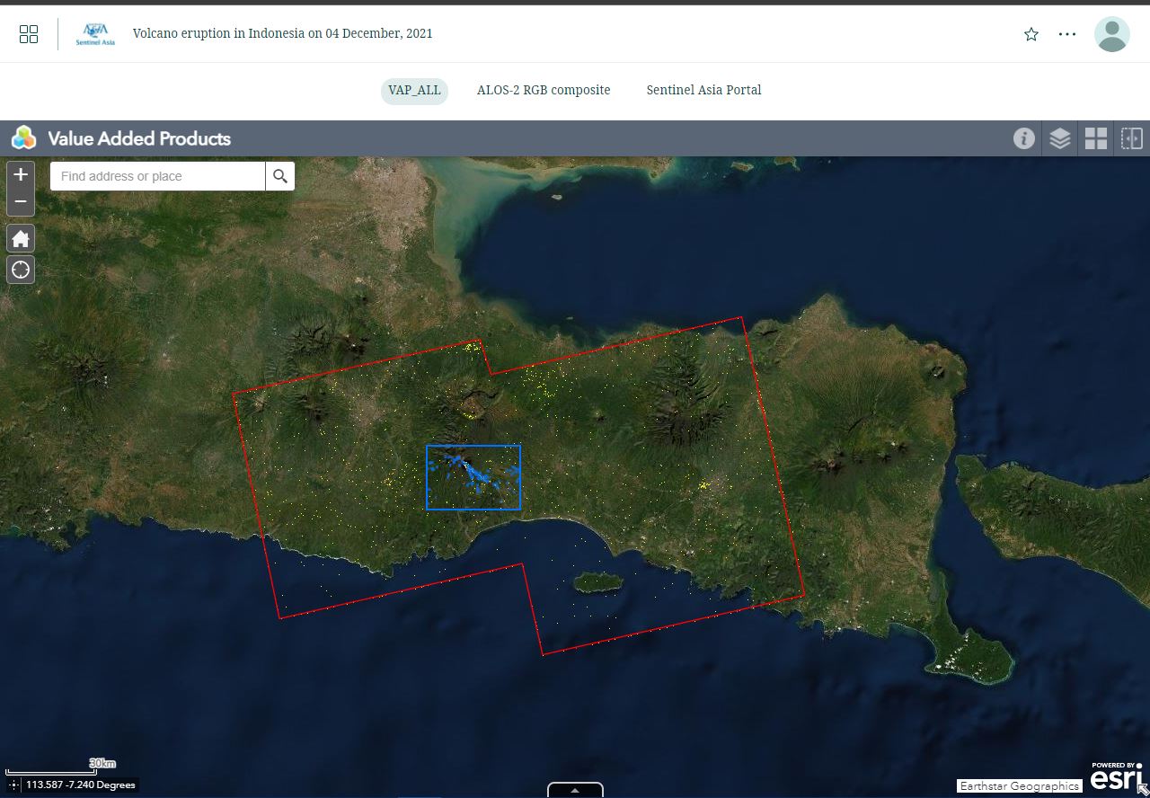
Volcano eruption in Indonesia on 04 December, 2021 see detail
-
Sentinel Asia member only.
The account will be sent to the EOR requester after Web GIS page is prepared.
If you are interested in to be a member of Sentinel Asia, please contact: z-sentinel.asia@ml.jaxa.jp