This page introduces systems or information that related to disaster management by disaster type.
- ●Flood
- ●Volcano
- ●Wildfire
- ●Others
-
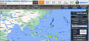
1.Global Satellite Mapping of Precipitation (GSMaP)
-
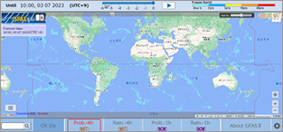
2.Global Flood Alert System-II (GFAS-II)
-
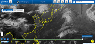
3.Satellite Imagery by Japan Meteorology Agency
-
4.Space-based Measurement, Mapping, and Modeling of Surface Water by Dartmouth Flood Observatory
-
Volcano monitoring system
-
1.CRISP - Hotspots in Sumatra, Kalimantan and Malaysia
-
1.JAXA Himawari Monitor (P-Tree system)
Flood
GSMaP offers global precipitation map.
According to the purpose, various precipitation information is available athttps://sharaku.eorc.jaxa.jp/GSMaP/index.htm
According to the purpose, various precipitation information is available at
GFAS-II displays the global flood risk map with color coding based on rainfall probability using the Global Satellite Mapping of Precipitation GSMaP provided by JAXA.
http://gfas.internationalfloodnetwork.org/n-gfas-web/pc/frmMain.aspx
http://gfas.internationalfloodnetwork.org/n-gfas-web/pc/frmMain.aspx
The below link offers the Japanese Geostationary Meteorological Satellite, called “Himawari”, infrared imagery that updated every 30 minutes.
https://www.jma.go.jp/bosai/map.html#5/34.5/137/&elem=ir&contents=himawari&lang=en
Dartmouth Flood Observatory, the University of Colorado displays their flood hazard maps, river and reservoir watch, flood archive, and so on at their following website.
https://floodobservatory.colorado.edu/
Volcano
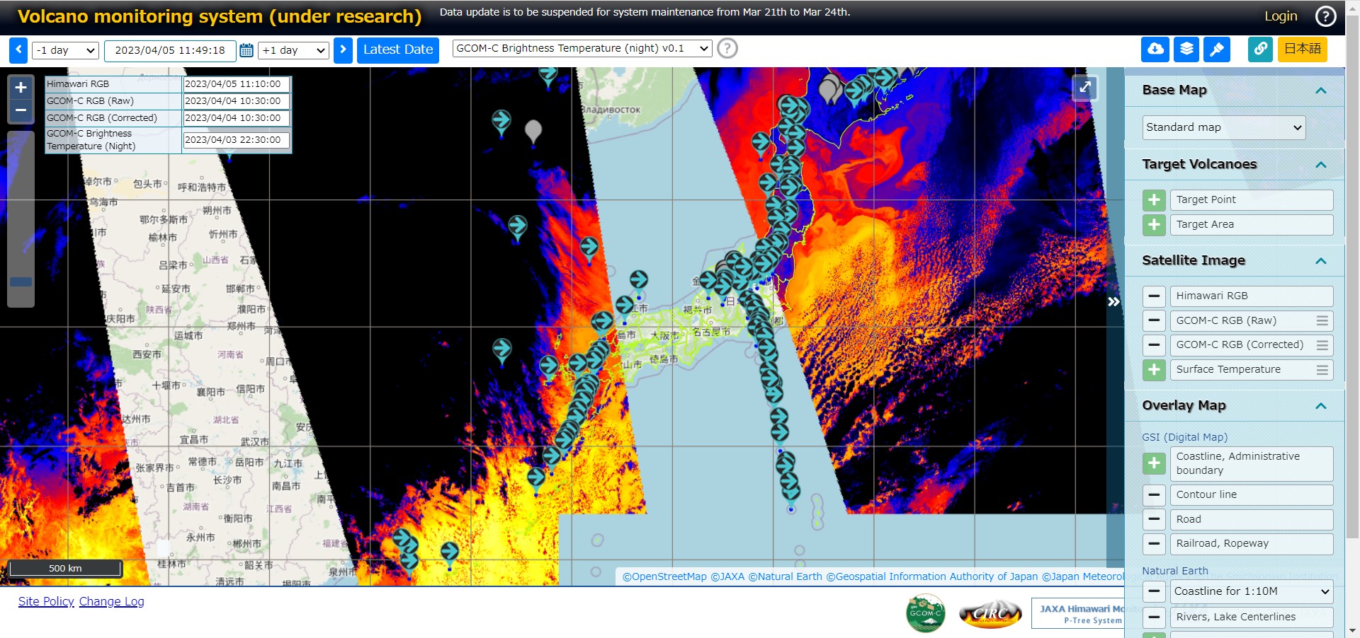
This system is aimed for monitoring volcanic activity, utilizing satellite data from GCOM-C (JAXA) and Himawari (Japan Meteorological Agency). Activity trends for each major volcano covered by Tokyo VAAC (Volcanic Ash Advisories Center) are also available.
https://kazan.jaxa.jp/
Wildfire
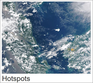
Centre for Remote Imaging, Sensing and Processing (CRISP), National University of Singapore provides hotspots of Wildfire in Sumatra, Kalimantan and Malaysia at the below website:
https://crisp.nus.edu.sg
https://crisp.nus.edu.sg/coverage/S_NPPindex.php
Others
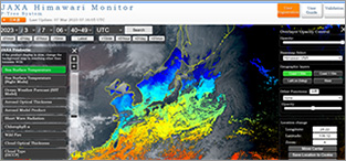
JAXA's P-Tree system, that provides multi-satellite products, releases the Japanese Geostationary Meteorological Satellite “Himawari” Standard Data provided by the Japan Meteorological Agency (JMA) as well as the geophysical parameter data produced by JAXA using the Himawari Standard Data.
https://www.eorc.jaxa.jp/ptree/index.html
