This page introduces capacity development materials and past webinars' information.
- ●Training materials
- ●"Guide to Using Emergent Value-Added Products (EVAP) Module with QGIS for Disaster Response" by Taiwan Space Agency
- ●Webinars
- ●Geospatial Analysis Knowledge provided by Yamaguchi University
- ●Principal Data Analysis Node Activities provided by Asian Institute of Technology
- ●Web-GIS
-
Training on Glacial Lake Outburst Flood (GLOF) Mapping using Earth Observation Satellite Data in Nepal by AIT and ISRO
July 2025 -
Training on SAR Data Analysis for Disaster Mapping and Damage Assessment in Indonesia by AIT and BRIN
June 2025 -
Training on SAR Data Analysis for Earthquake Damage Assessment in Turkiye by Yamaguchi University and ADRC
January 2025 -
Training on Glacial Lake Outburst Flood (GLOF) Mapping using Earth Observation Satellite Data by AIT and ISRO
August 2024 -
"Space Technology for Flood Forecast Modelling" co-organized by ISRO and IWMI
October 2021 -
"Space Technology for Drought Risk Management" co-organized by ISRO and IWMI
July 2021 -
1. Introduction to Synthetic Aperture Radar (SAR)
-
2. SAR Data Applications for Disasters
-
3. SAR Interferometry Technique
-
4. Color Composite in QGIS (Case Study: Flood in Vietnam)
-
5. Flood Detection Using During-Flood SAR Image in QGIS
-
6. Color Composite in ENVI (Case Study: Flood in Myanmar)
-
7. Differential SAR Interferometry Using ALOS-2 Data for Nepal Earthquake
-
8. Image Classification
-
9. Raster Analysis (Color Composite and Remote Sensing Indices)
-
10. Data Processing Using THEOS Satellite Imagery for Disaster Monitoring (Case Study: Flood in Vietnam)
-
11. Data Processing Using DubaiSat Satellite Imagery for Disaster Monitoring (Case Study: Earthquake in Hokkaido, Japan)
-
12. Data Processing Using IRS Satellite Imagery for Disaster Monitoring (Case Study: Earthquake in Indonesia)
-
13. Data Processing Using DIWATA-1 Microsatellite Imagery for Disaster Monitoring
-
14. Useful Tools in QGIS
-
Sentinel Asia Activities by AIT as P-DAN(17m37s)
-
About Sentinel Asia Web-GIS
Training materials
This training aims to build upon Sentinel Asia's existing framework and Government of Nepal's ongoing efforts in GLOF risk reduction. By enhancing the capacity to utilize earth observation data for GLOF mapping, the training will contribute to more effective disaster preparedness and emergency response in Nepal.
This training aims to build upon Sentinel Asia's existing framework and Indonesia's ongoing efforts in disaster management. By enhancing the capacity to utilize SAR imagery for rapid disaster mapping and damage assessment, the training will contribute to more effective, data-driven, and timely disaster response operations in Indonesia.

This training aims to enhancing the capacity to utilize earth observation data for damage assessment after the earthquake. The training will contribute to more effective disaster preparedness and emergency response in Türkiye.
This training aims to build upon Sentinel Asia's existing framework and Bhutan's ongoing efforts in GLOF risk reduction. By enhancing the capacity to utilize earth observation data for GLOF mapping, the training will contribute to more effective disaster preparedness and emergency response in Bhutan.
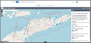
"Guide to Using Emergent Value-Added Products (EVAP) Module with QGIS for Disaster Response" by Taiwan Space Agency

In accordance with Sentinel Asia's strategic plan to empower local agencies with local data and Value-Added Products (VAPs) for addressing local needs, the Taiwan Space Agency (TASA) has developed a manual to facilitate the application of the EVAP module. This manual provides step-by-step instructions on how to utilize the EVAP module within QGIS to swiftly and easily identify disaster-affected areas.
Webinars
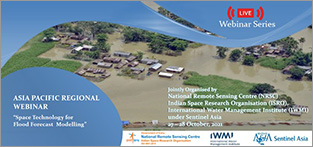
The second Sentinel Asia Webinar titled "Space Technology for Flood Forecast Modelling" was held in October 2021. Engineers and researchers were participated in this webinar.
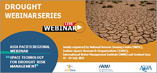
The first Sentinel Asia Webinar titled "Space Technology for Drought Risk Management" was held in July 2021. 50 experts and practitioners from the Sentinel Asia community participated and acknowledged the new technologies to minimize economic losses by drought.
Geospatial Analysis Knowledge provided by Yamaguchi University
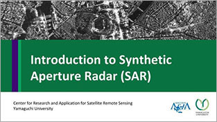
This content presents for basic of Synthetic Aperture Radar (SAR) including its geometry, how the image is created, essential parameters, interpretation, SAR sensor specification, and advantages and disadvantages.
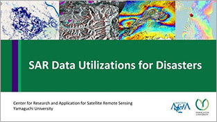
This content presents Synthetic Aperture Radar (SAR) applications for many disaster cases, including floods, landslides, and earthquakes.
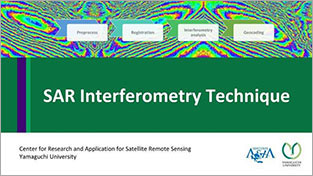
This content presents concept and methodology of SAR Interferometry technique (software, and processing steps based on GMTSAR)
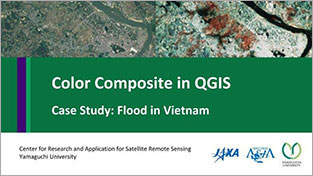
This content shows how to make a color composite in QGIS. The case study was flood disaster in Vietnam in 2017.
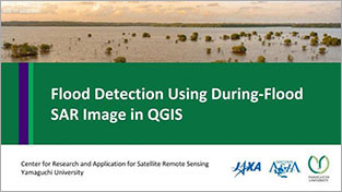
This content presents flood detection using during flood image by thresholding and classification method in QGIS.
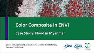
This content shows how to make a color composite in ENVI. The case study was flood disaster in Myanmar in 2017.
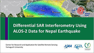
This content presents Differential SAR Interferometry or DInSAR analysis with GMTSAR (on Linux based OS, download DEM, prepare directories for processing). The case study is Nepal earthquake in 2015 using ALOS-2.
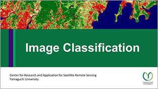
This content presents how to classify satellite image by QGIS Semi-automatic classification plugin. It includes pre-processing, create a region of interest (AOI), and applying classification methods.
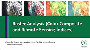
This content shows how to download data from USGS explorer, color composition for Landsat-8 and Sentinel-2, extract specific area, and remote sensing indices (NDVI and NDWI) using raster calculator.
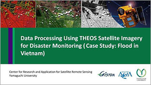
This content shows the specification of THEOS/Thaichote (Thai satellite), information of flood in Vietnam, comparison of pre-disaster image (Landsat-8) and post-disaster image (THEOS) by different methods such as color composite, thresholding, and segmentation for flooded areas classification.
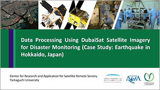
This content shows the specification of DubaiSat (UAE satellite), information of Hokkaido earthquake, data processing, pre-processing, pan-sharpening, Natural color composite, false color composite, NDVI calculation, image classification by clustering for the damaged area and landslide detection.
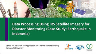
This content shows IRS specification (Indian satellite), color composition, NDVI calculation, extracting damaged areas and comparison of Landsat-8 and IRS for the case study of earthquake in Indonesia.
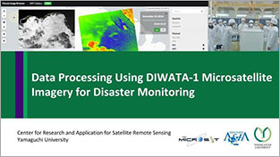
This content shows the specification of DIWATA-1 (Philippine Microsatellite), create a new account, data downloading, image processing (NDVI and color composition) between pre- and post-flood.
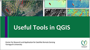
This content shows how to download OSM shapefile, use geo-reference tool, analyses terrain (slope, hill-shade, aspect), and terrain profile tool.
Principal Data Analysis Node Activities provided by Asian Institure of Technology
The video introduces Principal Data Analysis Node activities with some activation cases.
Web-GIS
Web-GIS is a web-based tool for easy browsing of satellite observation data or processed products with your own web browser, requiring only an internet connection. Sentinel Asia Secretariat launched the Web-GIS service for its Joint Project Team (JPT) members in November 2019 and continues to operate the service.